The best walks and hikes around Lieuche
4.5
(118)
718
hikers
47
hikes
Hiking around Lieuche offers access to varied mountain terrain within the Alpes-Maritimes region. The landscape is characterized by significant elevation changes, with routes traversing forested slopes, rocky outcrops, and open mountain passes. This area provides a range of hiking trails suitable for different experience levels, from moderate ascents to more challenging, longer routes.
Best hiking trails around Lieuche
- The most popular hiking route is Tête de Perail – Rocks and views loop from Pierlas, a 11.8 miles (19.1 km)…
Last updated: August 18, 2026
5.0
(5)
37
hikers
19.1km
07:00
930m
930m
Hard hike. Very good fitness required. Mostly accessible paths. Sure-footedness required.
4.9
(7)
25
hikers
17km
05:36
810m
810m
Hard hike. Very good fitness required. Easily-accessible paths. Suitable for all skill levels.

Sign up for free
4.9
(7)
21
hikers
13.4km
04:11
510m
510m
Moderate hike. Good fitness required. Easily-accessible paths. Suitable for all skill levels.
5.0
(3)
16
hikers
14.6km
05:18
870m
870m
Hard hike. Very good fitness required. Easily-accessible paths. Suitable for all skill levels.
5.0
(3)
7
hikers
9.19km
03:41
700m
700m
Moderate hike. Good fitness required. Easily-accessible paths. Suitable for all skill levels.
Get access to more routes and recommendations from other explorers.
Sign up for free
Already have an account?
Our route recommendations are based on thousands of hikes, rides, and runs completed by other people on komoot.
Start today with a free account
Your next adventure awaits.
Login or Signup

Tips from the Community


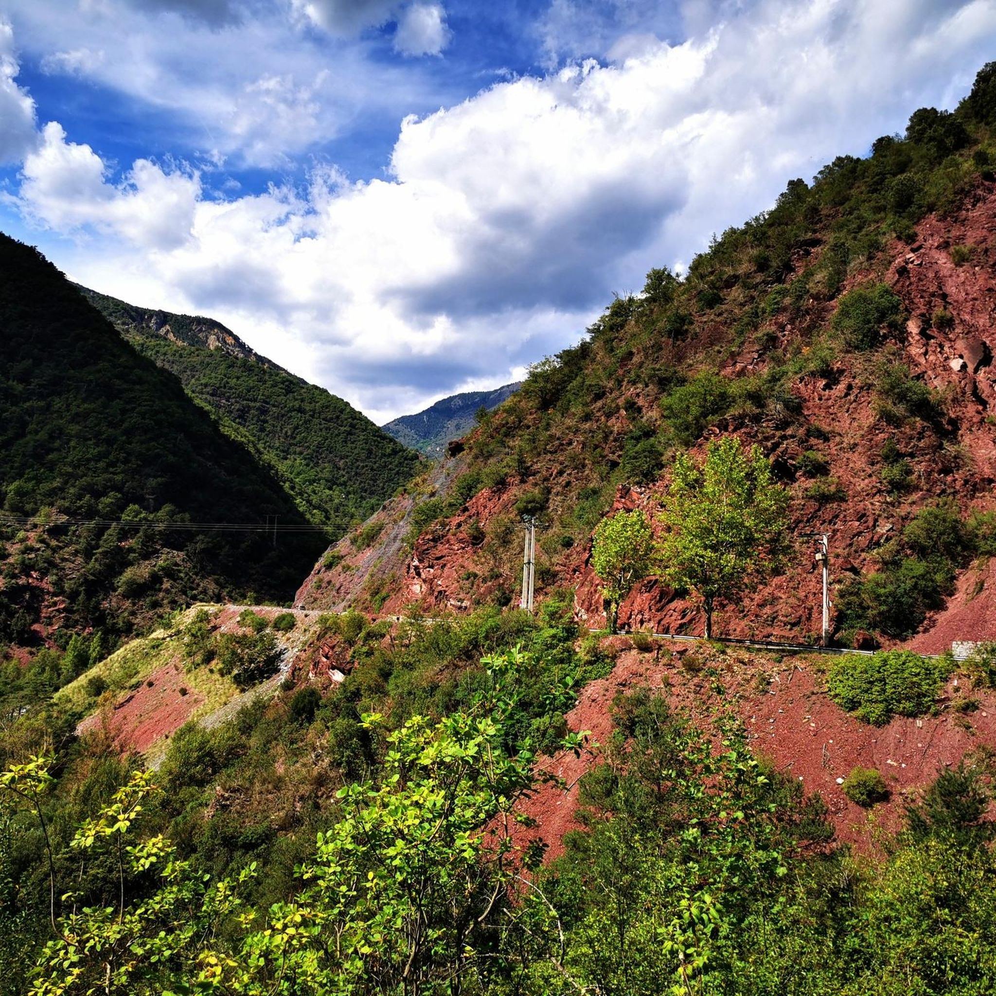
Nice view, but a little further, no more path, erosion has done its work. The mountain is steep and very slippery, it is no longer really passable (Sept 2024). I hope that the path will be repaired one day, because the landscapes are magnificent and it is frustrating to have to turn around.
0
0
Beautiful views coming out of the forest, and the ruins of the place called Glarion as well as a mini chapel.
0
0
A slightly steep path but without technical difficulty, well marked, which climbs among pines and larches. Lots of squirrels to observe.
0
0
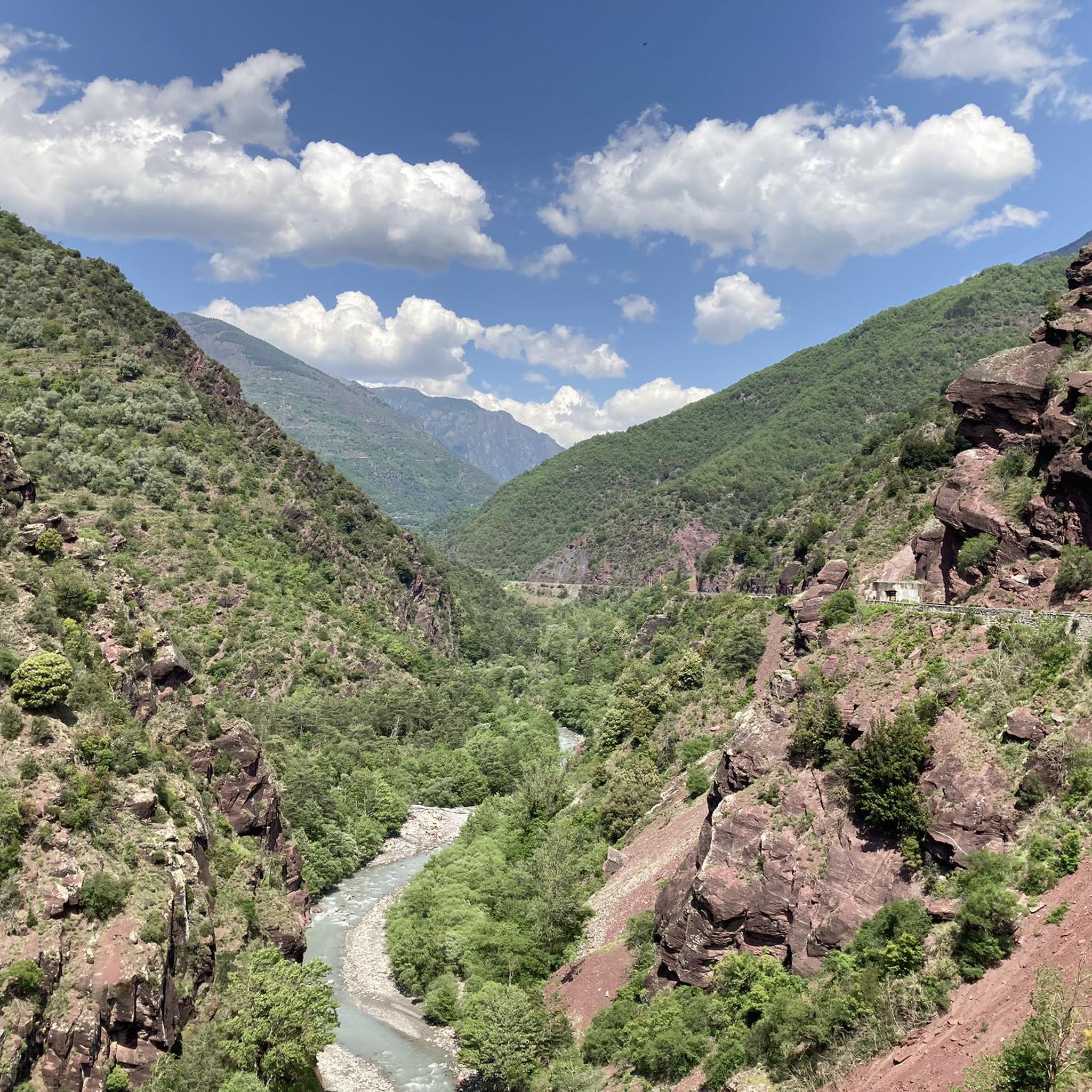
Very pretty balcony path, in the foreground beautiful rocks and opposite, the red rock of the Cians gorges.
0
0
Very accessible summit, a good climb from Cians. Download the Komoot map offline, because the path is not well marked and it disappears in places.
0
0
Please note, the Rigaud - Puget-Rostang junction can no longer be done via the Mairola pass, the path is closed due to a landslide (September 2024).
0
0
This mountain is very special, full of streaks, it is magnificent and unusual.
0
0
Frequently Asked Questions
How many hiking trails are available around Lieuche?
There are over 45 hiking trails around Lieuche, offering a wide range of options for different skill levels and preferences.
Are there easy hiking trails suitable for beginners in Lieuche?
Yes, Lieuche offers 6 easy hiking routes. These trails are generally shorter and have less elevation gain, making them ideal for beginners or those looking for a relaxed walk.
What are the typical lengths of hiking trails in Lieuche?
Trail lengths vary significantly in Lieuche. You can find routes ranging from shorter, easy walks to challenging full-day hikes. For example, the Exceptional panorama – Superb panorama loop from Col de la Sinne is about 8.3 miles (13.4 km), while the Tête de Perail – Rocks and views loop from Pierlas extends to 11.8 miles (19.1 km).
Are there circular walking routes in Lieuche?
Yes, many of the trails around Lieuche are designed as circular routes, allowing you to start and end at the same point without retracing your steps. Examples include the L'Abric – View of Montagne de Mairola loop from Rigaud and the View of Montagne de Mairola loop from Rigaud.
What kind of views can I expect on hikes around Lieuche?
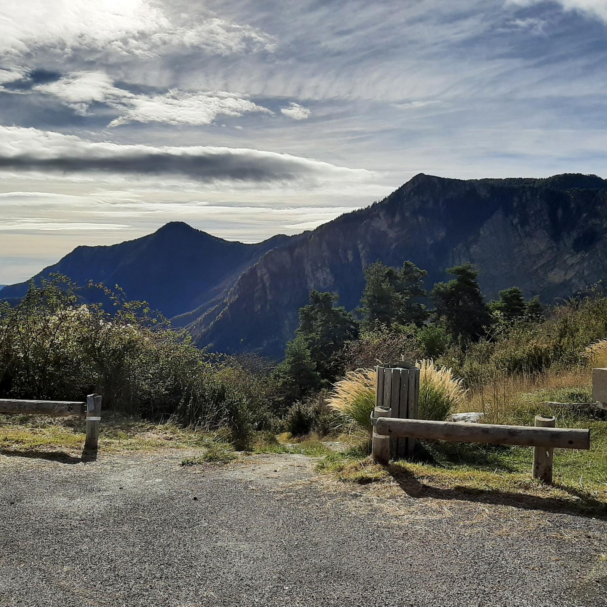
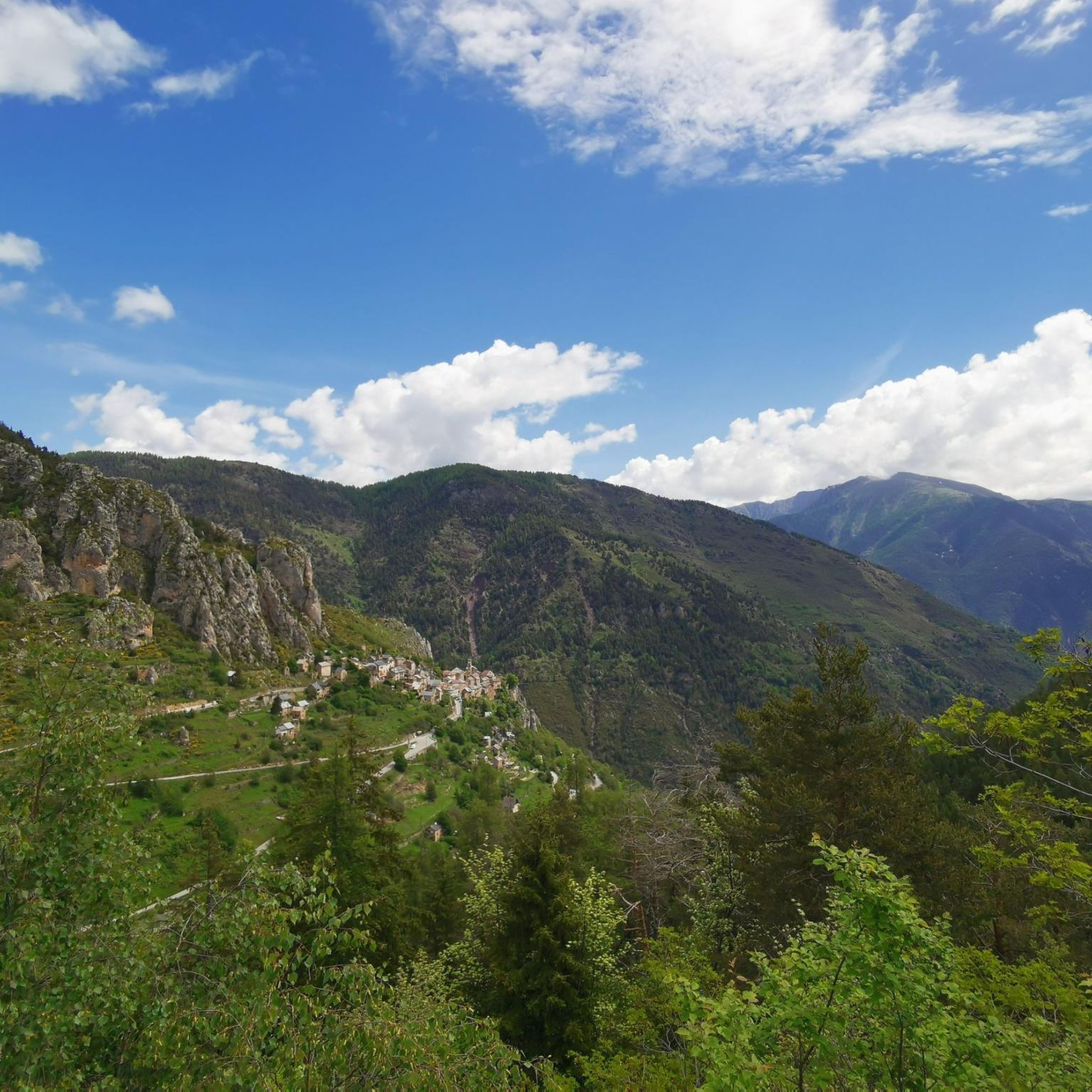
Hiking in Lieuche offers expansive views of the surrounding mountains and valleys, often featuring panoramic vistas from rocky outcrops and mountain passes. The region is known for its varied mountain terrain within the Alpes-Maritimes.
What do other hikers enjoy most about hiking in Lieuche?
The area is highly rated by the komoot community, with an average score of 4.5 stars from nearly 100 reviews. Hikers often praise the diverse mountain landscape, the challenging ascents, and the rewarding panoramic views.
Are there any interesting landmarks or attractions near the hiking trails?
Yes, the region around Lieuche features several notable points of interest. You can explore charming villages like Roubion and the historic Ascros Village and Castle. Additionally, there are several mountain passes to discover, such as Col de la Couillole and Col du Raton.
Is it possible to hike in Lieuche during winter?
While the region offers beautiful winter scenery, hiking in Lieuche during winter can be challenging due to snow and ice, especially at higher elevations and on mountain passes. It's advisable to check local weather conditions and trail reports, and to be equipped with appropriate gear for snow and ice.
Are there any family-friendly hiking options in Lieuche?
Lieuche offers a selection of easy and moderate trails that can be suitable for families, depending on the children's age and hiking experience. It's recommended to check the specific trail's difficulty and length to ensure it aligns with your family's capabilities.
Can I bring my dog on the hiking trails in Lieuche?
Many trails in the Alpes-Maritimes region are dog-friendly, but it's always best to check local regulations for specific routes or protected areas. Ensure your dog is on a leash and that you carry waste bags to maintain the natural environment.
What is the best time of year to hike in Lieuche?
The best time to hike in Lieuche is typically from late spring to early autumn (May to October), when the weather is generally mild and trails are clear of snow. Summer offers warmer temperatures, while spring and autumn provide pleasant conditions and vibrant natural colors.
Are there places to eat or drink near the hiking trails in Lieuche?
While Lieuche itself is a small commune, you can find cafes and restaurants in nearby villages and towns within the Alpes-Maritimes region. It's advisable to plan your route and check for amenities in advance, especially for longer hikes.
Most popular attractions around Lieuche

Get inspired with the komoot mobile app


Explore more
Browse the best Hikes in other regions.
