The best running trails around Lieuche
4.0
(1)
98
runners
13
runs
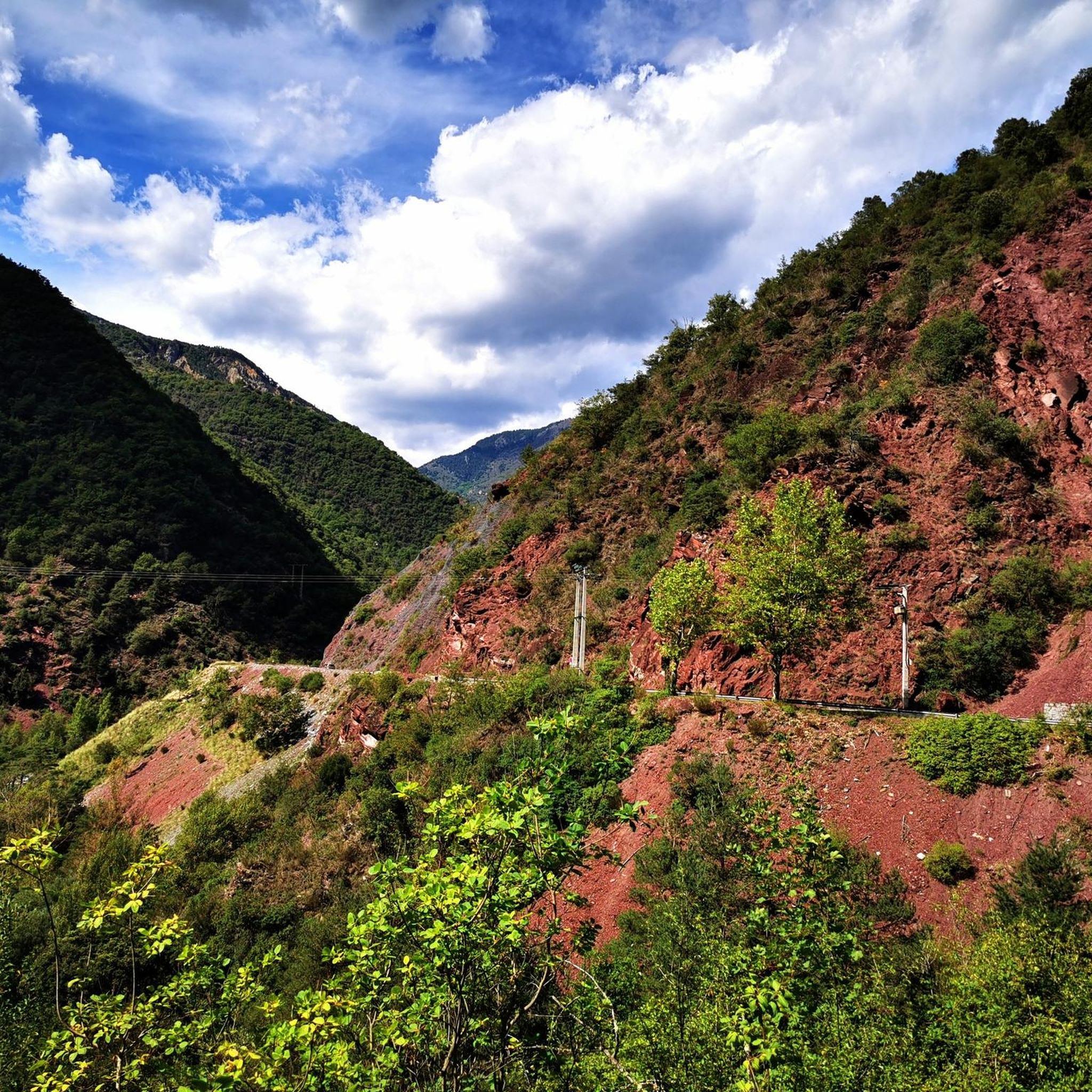
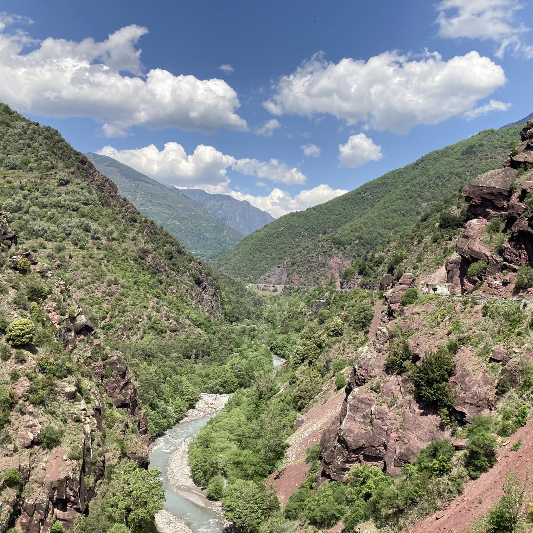
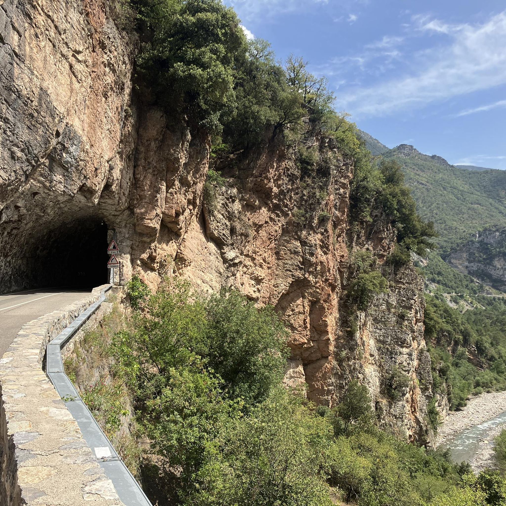
Jogging around Lieuche offers diverse and stunning natural landscapes in the Alpes-Maritimes region of southeastern France. The village, situated at 850 meters, is surrounded by wooded mountains, providing varied terrain from gentle slopes to challenging ascents. The area features the dramatic Gorges du Cians with its bright red cliffs and unique wild landscapes characterized by eroded black marl. Panoramic views of the Gorges du Cians, the Var valley, and the broader Mercantour Massif are accessible from various trails.
Best jogging…
Last updated: August 23, 2026
4.0
(1)
36
runners
32.7km
05:13
1,820m
1,820m
Hard run. Very good fitness required. Sure-footedness, sturdy shoes and alpine experience required.
15
runners
15.2km
02:50
1,090m
1,090m
Hard run. Very good fitness required. Sure-footedness, sturdy shoes and alpine experience required.

Sign up for free
7
runners
8.62km
01:08
290m
290m
Moderate run. Good fitness required. Mostly paved surfaces. Suitable for all skill levels.
3
runners
32.2km
05:33
2,030m
2,040m
Hard run. Very good fitness required. Sure-footedness, sturdy shoes and alpine experience required.
6
runners
13.2km
01:59
660m
660m
Hard run. Very good fitness required. Mostly paved surfaces. Suitable for all skill levels.
Get access to more routes and recommendations from other explorers.
Sign up for free
Already have an account?
Our route recommendations are based on thousands of hikes, rides, and runs completed by other people on komoot.
Start today with a free account
Your next adventure awaits.
Login or Signup

Tips from the Community

The Col de la Couillole is a mountain pass in the Massif du Mercantour-Argentera of the French Alps, situated at an altitude of 1,678 m (5,505 ft) in the Alpes-Maritimes department, France. The road connection is open for six to seven months of the year, allowing travel between the Cians gorges in the west and the Tinée valley in the east.
0
0
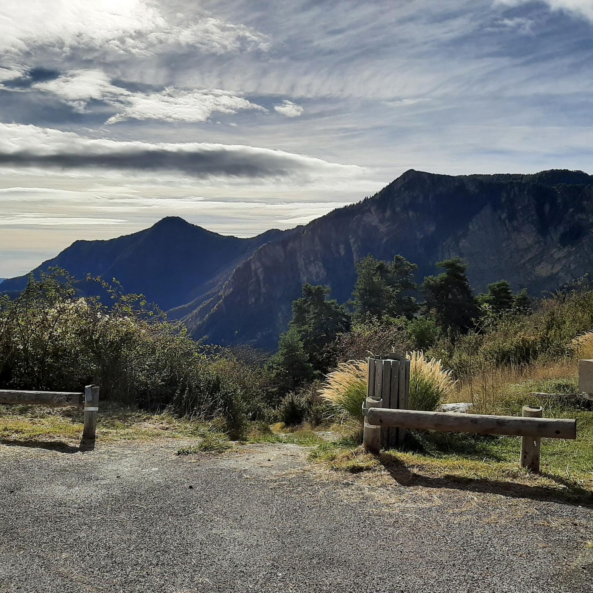
The Col Saint-Martin Pass, or Col de la Colmiane, is a mountain pass in the Southern Alps located at an altitude of 1,500 meters in the Alpes-Maritimes department of France. It provides a year-round road link between the Tinée Valley to the west and the Vésubie Valley to the east.
0
0

I share the Du Bois de Falcon hike from Roubion which is a beautiful hike! The GéCo06
0
0

Valdeblore La Colmiane is a resort that offers families many activities: summer tobogganing, tree climbing, mini-golf, swimming pool, equestrian center, paragliding, trampoline, farm visit, hiking with pack donkeys, climbing, and Via Ferrata as well as 30 kilometers of ski slopes in winter. In winter as in summer, the resort offers a giant zip line (the longest in France) which flies safely over the resort and its lakes, at 130 km/h (maximum).
0
0

Perched at an altitude of 1,336 meters, Roubion, a small village, seduces with its medieval charm. Its narrow, cobbled streets, lined with stone houses, offer an authentic atmosphere. In winter it transforms into a friendly ski resort, while in summer it is an ideal starting point for superb hikes.
0
0

The Col de la Colmiane, also known as Col Saint-Martin, peaks at 1,500 meters above sea level. This climb was featured in the 2018 Paris-Nice race on stage 7.
0
0

The Mille Fonds lakes are a succession of high-altitude lakes near the Col u Barn. Their deep blue enhances the panorama that some of them reveal, like Lake Long.
0
0
From the valley, you have to climb 1,700 meters of elevation gain to reach Mount Pépoiri. At 2,674 meters above sea level, the views of the Mercantour ridges are the greatest reward. The surrounding trails are neither too technical nor too rough, making it a perfect playground for trail runners.
1
0
Frequently Asked Questions
How many running routes are available around Lieuche?
There are over 10 dedicated running routes around Lieuche, offering a wide range of experiences. These trails vary significantly in difficulty and length, catering to different fitness levels, from moderate paths to challenging ascents through the mountainous terrain.
What kind of terrain can I expect on the jogging trails near Lieuche?
Jogging around Lieuche offers incredibly diverse terrain. You'll encounter everything from gentle slopes to challenging ascents, winding through wooded mountains, and unique landscapes characterized by eroded black marl. The region's altitude, ranging from 509 meters to 1783 meters, ensures a varied and engaging running experience.
Are there any family-friendly running paths in the Lieuche area?
While many routes around Lieuche are considered difficult due to significant elevation changes, the region does offer trails that can be adapted for families. Look for sections of paths with less steep gradients or shorter distances. The wooded areas provide shade and a pleasant environment for a more relaxed run or walk with children.
Can I bring my dog on the running trails around Lieuche?
Yes, many of the trails and natural areas around Lieuche are suitable for running with dogs. It's always recommended to keep your dog on a leash, especially in areas with wildlife or near livestock, and to carry water for both yourself and your pet. Always check local regulations for specific trail restrictions.
What are some notable natural features or viewpoints I can see while running near Lieuche?
The region boasts spectacular natural beauty. You can enjoy extensive panoramic views of the Gorges du Cians, the Var valley, and the village of Rigaud from various vantage points. Higher trails, such as those towards the summit of Brec d'Ilonse, offer magnificent vistas of the broader Mercantour Massif. Don't miss the dramatic bright red cliffs of the Gorges du Cians, a truly unique sight.
Are there any circular running routes available in the Lieuche region?
Yes, several excellent circular running routes are available. For instance, the challenging Pointe des Quatre Cantons loop from Villars-sur-Var is a 20.3-mile (32.7 km) trail offering extensive mountain views. Another option is the Cime de Ballour loop from Rimplas, a difficult 9.4-mile (15.2 km) path through varied mountain landscapes.
What is the best time of year to go running in Lieuche?
The Alpes-Maritimes region, including Lieuche, is generally pleasant for outdoor activities for much of the year. Spring and autumn offer mild temperatures and beautiful scenery, ideal for running. Summer can be warm, so early morning or late afternoon runs are preferable. While winter running is possible, higher altitude trails may be affected by snow and ice, requiring appropriate gear and caution.
Are there any challenging long-distance running routes near Lieuche?
Absolutely. Lieuche is known for its demanding trails. A prime example is the Lac Long – Mount Pépoiri loop from Rimplas, a 19.9-mile (32.2 km) route with significant elevation gain, leading through high mountain terrain with panoramic vistas. This trail is often completed in over 5 hours and is suitable for experienced runners seeking a challenge.
What are some interesting landmarks or places to explore near the running trails?
Beyond the natural beauty, you can discover several interesting points. The Col de la Couillole is a notable mountain pass offering great views. The charming village of Roubion is also nearby, and you might encounter other passes like The start of Col Saint-Martin or Col du Raton, which are often part of longer routes.
Is public transport available to access the running routes around Lieuche?
Lieuche is a small, somewhat remote village in the Alpes-Maritimes. While some regional bus services might connect to larger towns in the area, direct public transport access to specific trailheads can be limited. It's often more convenient to reach the starting points of many running routes by car, especially for those located further from the village center.
Where can I find parking near the running trailheads in Lieuche?
Parking availability varies by trailhead. In Lieuche village itself, you can usually find parking. For routes starting from nearby villages like Villars-sur-Var or Rimplas, there are often designated parking areas or roadside spots available. It's advisable to check specific route descriptions or local maps for the most convenient parking options near your chosen starting point.
Are there any easier or moderate running options for beginners around Lieuche?
While many routes are rated as difficult, there is one moderate running route available: Roubion – Col de la Couillole (1,678 m) loop from Roubion. This 8.2-mile (13.2 km) loop offers a less strenuous option compared to the more challenging mountain ascents, making it suitable for runners looking for a moderate workout with beautiful scenery.
Most popular attractions around Lieuche

Get inspired with the komoot mobile app


Explore more
Browse the best Running Trails & Routes in other regions.
