The best MTB trails around Roure
4.2
(179)
1,601
riders
47
rides
Mountain biking around Roure offers routes through a landscape defined by challenging alpine ascents, dense forest paths, and high mountain passes. The region features substantial elevation gains, making it suitable for experienced mountain bikers seeking demanding trails. Riders can expect varied terrain, from technical singletrack to wider forest roads, all set against a backdrop of mountainous scenery.
Best mountain bike trails around Roure
- The most popular mountain bike trail is Baisse de Merlier Loop, a 15.2 miles (24.5 km)…
Last updated: July 8, 2026
1.0
(1)
7
riders
24.5km
04:06
1,500m
1,510m
Experience a difficult 15.2-mile mountain bike loop in Mercantour National Park, featuring panoramic views and challenging terrain.
4.6
(8)
53
riders
43.9km
04:15
1,250m
1,250m
Hard mountain bike ride. Very good fitness required. Advanced riding skills necessary.

Sign up for free
22
riders
79.2km
06:38
2,130m
2,130m
Hard mountain bike ride. Very good fitness required. Advanced riding skills necessary. Some portions of the route may require you to push your bike.
9
riders
30.3km
04:16
1,570m
1,570m
Hard mountain bike ride. Very good fitness required. Advanced riding skills necessary. Some portions of the route may require you to push your bike.
5
riders
16.2km
01:48
480m
480m
Moderate mountain bike ride. Good fitness required. Advanced riding skills necessary.
Get access to more routes and recommendations from other explorers.
Sign up for free
Already have an account?
Our route recommendations are based on thousands of hikes, rides, and runs completed by other people on komoot.
Start today with a free account
Your next adventure awaits.
Login or Signup




Tips from the Community

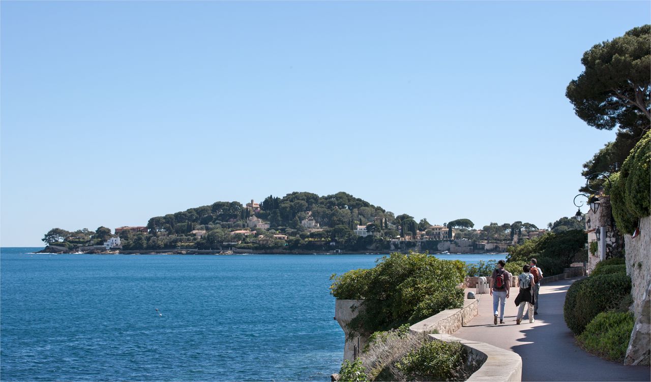
The Col de Sainte-Anne is a pass at an altitude of 425 meters in the French department of Bouches-du-Rhône.
0
0
The Col de la Couillole is a mountain pass in the Massif du Mercantour-Argentera of the French Alps, situated at an altitude of 1,678 m (5,505 ft) in the Alpes-Maritimes department, France. The road connection is open for six to seven months of the year, allowing travel between the Cians gorges in the west and the Tinée valley in the east.
0
0

The ring road around the mountain comes into view once more at the end. Steep sections lead to the highest point, the Cime de la Bonette. Accessible in one direction only!
0
0

abandoned building without water
0
0

Intriguing ghost town which actually includes the barracks of a former military camp
0
0

Going up the Col de la Bonette on its southern side, just over 7 km from the top of the pass, and once you have passed the most spectacular section with several hairpin bends, you reach this ghost town. It is a military complex built in 1888 and used as an army operations barracks during World Wars I and II. It is very well preserved thanks to the reconstruction work carried out in 2016 and 2018. It is worth stopping to take a look.
0
0

Col de la Bonette (2715 meters above sea level) is a mountain pass in the French Alps, near the border with Italy. It is located in the Mercantour National Park on the border of the departments of Alpes-Maritimes and Alpes-de-Haute-Provence. The road over the col is the seventh highest paved road in the Alps.
0
0

Camp des Fourches was part of a set of fortifications protecting the Ubaye valley from potential Italian attacks. This barracks in particular was used by Alpine hunters whose mission was to defend the Col des Fourches. The department wanted to preserve and highlight this work, in memory of the mountain troops who fought during the First and Second World Wars. On the site, a set of explanatory panels recount the history of this place.
2
0
Frequently Asked Questions
What kind of difficulty can I expect from mountain bike trails in Roure?
Mountain biking around Roure is primarily characterized by challenging alpine ascents, dense forest paths, and high mountain passes, often with significant elevation gains. Most of the 43 available routes are classified as difficult (28 routes), with 14 moderate and only 1 easy trail. This makes the region particularly suitable for experienced mountain bikers seeking demanding trails.
Are there any easy mountain bike trails around Roure?
While the Roure region is known for its challenging terrain, there is at least one easy mountain bike trail available. However, the majority of the 43 routes are classified as moderate or difficult, catering more to experienced riders.
Can I find loop mountain bike trails in Roure?
Yes, loop trails are a common feature in Roure. For example, the Baisse de Merlier Loop is a popular difficult route covering 15.2 miles (24.5 km) through alpine forests. Another option is the Col du Raton – Raton loop from Beuil, a 22.3 miles (35.9 km) difficult path offering varied mountain terrain.
What is the typical length and duration of mountain bike trails in Roure?
The mountain bike trails in Roure vary significantly in length and duration. For instance, the Baisse de Merlier Loop is 15.2 miles (24.5 km) and takes about 4 hours 5 minutes. Longer routes like the Beuil loop from Roubion extend to 27.2 miles (43.8 km) and can take around 4 hours 13 minutes, while the Col de la Bonette – Bonette Summit loop from Isola is a demanding 50.4 miles (81.1 km) route.
Are there family-friendly mountain biking options in Roure?
Given the prevalence of challenging alpine terrain and significant elevation gains, most mountain bike trails in Roure are geared towards experienced riders. There is only one easy trail among the 43 routes, so options for families with young children or beginners are limited. It's advisable to carefully check route details for suitability.
What natural attractions can I discover while mountain biking near Roure?
The Roure area offers stunning natural beauty. You can find several beautiful lakes such as Lake of Colle S. Anna, Variclès Lakes, Lac Lausfer Supérieur, and Lago d'Aver Soprano. Mountain passes like Col de la Lombarde also offer breathtaking views.
Are there any historical or cultural sites accessible by mountain bike in the Roure area?
Yes, beyond the natural landscapes, you can encounter historical and cultural sites. The Sanctuary of Saint Anne of Vinadio is a notable religious building, and the Prow of the Ship, Collalunga Pass Barracks offers a glimpse into the region's past.
When is the best time of year to go mountain biking in Roure?
The best time for mountain biking in Roure is typically during the warmer months, from late spring to early autumn (June to September). During this period, the high mountain passes are usually clear of snow, and the weather is more stable, making the challenging alpine routes more accessible and enjoyable. Always check local weather and trail conditions before heading out.
What are the typical trail conditions like for mountain biking in Roure?
Trails in Roure feature varied terrain, from technical singletrack to wider forest roads. Riders can expect challenging alpine conditions, including rocky sections, steep climbs, and descents through dense forests. Conditions can change rapidly, especially at higher elevations, so be prepared for diverse surfaces and potential weather shifts.
How can I find less crowded mountain bike routes in Roure?
While some popular routes might see more traffic, exploring the 43 available trails, especially those that are longer or more technically demanding, can lead you to quieter experiences. The region is known for its rugged, expansive terrain, offering many opportunities to find solitude away from the main hubs. Using komoot's route planner to discover less-traveled paths can also help.
Is parking available at the trailheads for mountain biking in Roure?
Parking availability varies by trailhead in the Roure region. Many villages and starting points for popular routes, such as those near Beuil or Roubion, offer designated parking areas. However, for more remote trails, parking might be limited to roadside pull-offs. It's recommended to check the specific route details on komoot for information on parking facilities near your chosen starting point.
Can I reach mountain bike trails in Roure using public transport?
Accessing mountain bike trails in Roure primarily relies on personal transport due to the region's mountainous and somewhat remote nature. While some larger villages might have limited bus services, direct public transport links to many trailheads are not common. Planning your route and checking local transport schedules in advance is advisable if you intend to use public transport.
What do other mountain bikers enjoy most about the trails in Roure?
The mountain bike trails in Roure are highly rated by the komoot community, with an average score of 4.2 stars from over 170 reviews. Reviewers often praise the challenging alpine climbs, the stunning mountainous scenery, and the varied terrain that provides a true test of skill and endurance. The sense of adventure and the rewarding views from high passes are frequently highlighted.
Most popular attractions around Roure

Get inspired with the komoot mobile app


Explore more
Browse the best MTB trails in other regions.
