The best cycling routes around Roure
4.3
(63)
3,178
riders
53
rides
Touring cycling around Roure is characterized by its challenging mountain passes and alpine terrain. The region features numerous cols and high-elevation routes, offering significant climbs and descents. Valleys and rock formations are also prominent features of the landscape.
Best touring cycling routes around Roure
- The most popular touring cycling route is Saint-Martin Pass (La Colmiane) – Saint Dalmas loop from Saint-Sauveur-sur-Tinée, a 32.3 miles (52.0 km) trail that takes 4 hours 11 minutes to complete. This route features a…
Last updated: July 8, 2026
4.6
(5)
118
riders
89.5km
07:30
2,990m
2,990m
Hard bike ride. Very good fitness required. Mostly paved surfaces. Suitable for all skill levels.
5.0
(4)
81
riders
88.3km
07:12
2,750m
2,750m
Hard bike ride. Very good fitness required. Mostly paved surfaces. Suitable for all skill levels.

Sign up for free
5.0
(2)
69
riders
Hard bike ride. Very good fitness required. Mostly paved surfaces. Suitable for all skill levels.
70
riders
34.1km
02:58
1,240m
1,240m
Hard bike ride. Very good fitness required. Mostly paved surfaces. Suitable for all skill levels.
67
riders
43.1km
03:14
1,060m
1,060m
Hard bike ride. Very good fitness required. Mostly paved surfaces. Suitable for all skill levels.
Get access to more routes and recommendations from other explorers.
Sign up for free
Already have an account?
Our route recommendations are based on thousands of hikes, rides, and runs completed by other people on komoot.
Start today with a free account
Your next adventure awaits.
Login or Signup




Tips from the Community

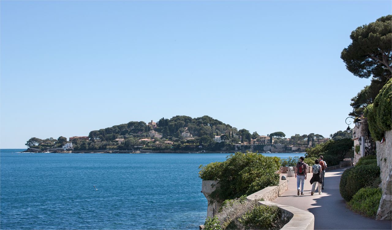
The Col de Sainte-Anne is a pass at an altitude of 425 meters in the French department of Bouches-du-Rhône.
0
1
The Col de la Couillole is a mountain pass in the Massif du Mercantour-Argentera of the French Alps, situated at an altitude of 1,678 m (5,505 ft) in the Alpes-Maritimes department, France. The road connection is open for six to seven months of the year, allowing travel between the Cians gorges in the west and the Tinée valley in the east.
0
0
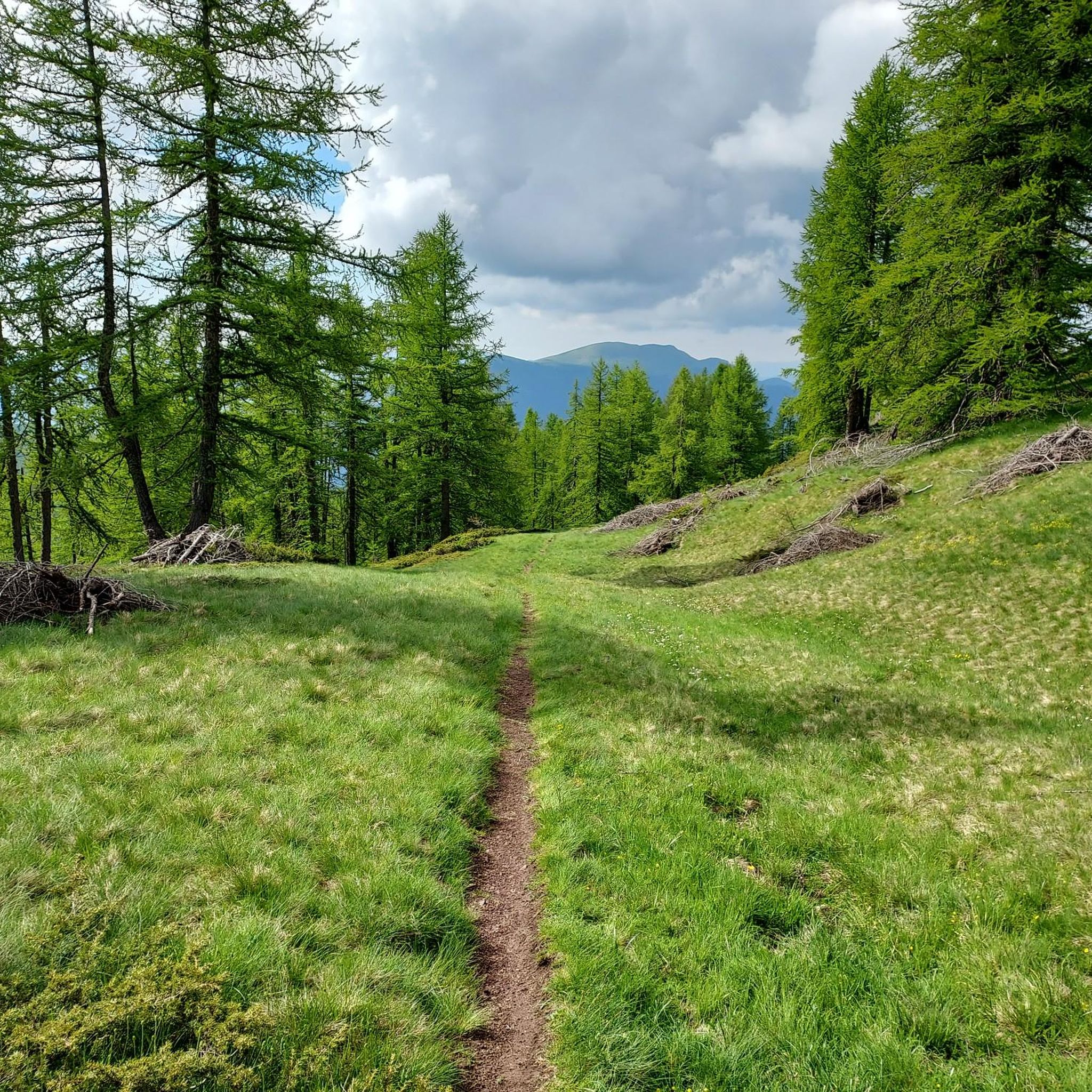
The Col Saint-Martin Pass, or Col de la Colmiane, is a mountain pass in the Southern Alps located at an altitude of 1,500 meters in the Alpes-Maritimes department of France. It provides a year-round road link between the Tinée Valley to the west and the Vésubie Valley to the east.
0
0
The Col Saint-Martin Pass, or Col de la Colmiane, is a mountain pass in the Southern Alps located at an altitude of 1,500 meters in the Alpes-Maritimes department of France. It provides a year-round road link between the Tinée Valley to the west and the Vésubie Valley to the east.
0
0
The Col de la Couillole is a mountain pass in the Massif du Mercantour-Argentera of the French Alps, situated at an altitude of 1,678 m (5,505 ft) in the Alpes-Maritimes department, France. The road connection is open for six to seven months of the year, allowing travel between the Cians gorges in the west and the Tinée valley in the east.
0
0

In July during the week there was almost no traffic, making it a completely relaxed drive up.
0
0
Currently (as of July 2025), there's a lot of excavation and construction going on here. For cycling emergencies, there's a local sports shop that carries all kinds of cycling supplies and was able to quickly help us with our bike repairs: https://sport-addict06.fr/
2
0

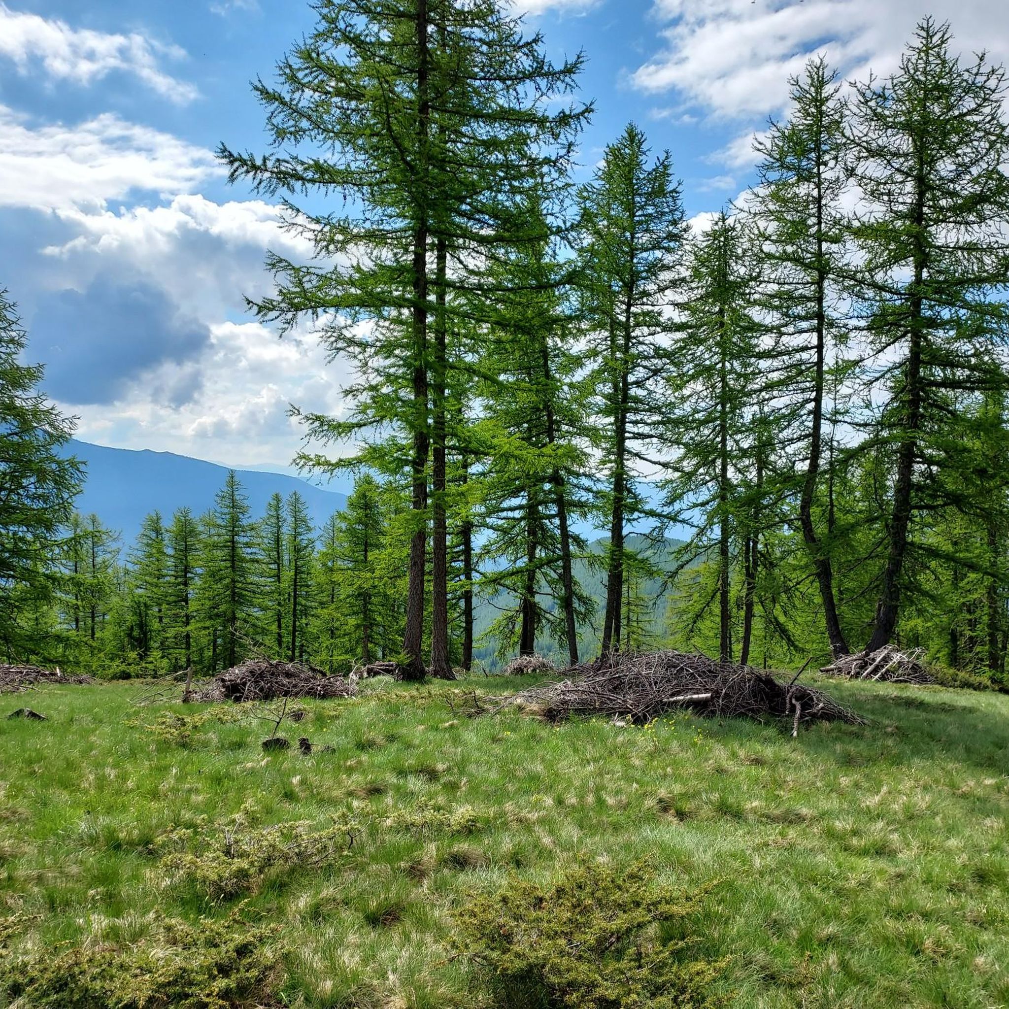
This is the part of the climb where in the height of summer it can get really hot by mid-morning. A little breeze here and there gives you some breathing space but if you don't start early be prepared.
0
0
Frequently Asked Questions
How many touring cycling routes are there in Roure?
Roure offers a wide selection of touring cycling routes, with over 50 options available. These routes primarily feature challenging mountain passes and alpine terrain, catering to experienced cyclists.
Are there any easy touring cycling routes in Roure?
The touring cycling routes around Roure are predominantly challenging, characterized by significant climbs and descents through alpine terrain. There are no routes classified as 'easy' for touring cyclists in this region, with 9 routes rated 'moderate' and 47 as 'difficult'.
What kind of distances and elevation gains can I expect on touring cycling routes in Roure?
Touring cycling routes in Roure typically involve substantial distances and significant elevation changes. For instance, the Saint-Martin Pass (La Colmiane) – Saint Dalmas loop from Saint-Sauveur-sur-Tinée covers 32.3 miles (52.0 km) with over 1,500 meters of ascent. Longer routes like the View at Cole de Saint Martin – Saint-Martin Pass (La Colmiane) loop from Pont de Paule extend to 60.1 miles (96.7 km) with over 2,000 meters of climbing.
Are there circular touring cycling routes available in Roure?
Yes, many touring cycling routes in Roure are designed as loops, allowing you to start and finish in the same location. Examples include the Péone Rock Formations – Col de la Couillole loop from Saint-Sauveur-sur-Tinée and the Col de la Couillole – Col de Sainte-Anne loop from Saint-Sauveur-sur-Tinée.
What can I see along the touring cycling routes in Roure?
The routes in Roure offer stunning alpine scenery and access to notable landmarks. You can encounter impressive mountain passes like Col de la Lombarde and Saint-Martin Pass (La Colmiane). The region also features beautiful high-altitude lakes such as Lake of Colle S. Anna and Variclès Lakes.
What do other touring cyclists enjoy the most about touring cycling in Roure?
The touring cycling experience in Roure is highly rated by the komoot community, with an average score of 4.6 stars from over 50 reviews. Cyclists frequently praise the challenging ascents, the extensive views from mountain passes, and the unique alpine valleys that define the region's routes.
What is the best season for touring cycling in Roure?
Given Roure's high-elevation and alpine characteristics, the best season for touring cycling is typically from late spring to early autumn (June to September). During these months, mountain passes are generally clear of snow, and weather conditions are more favorable, though alpine weather can change rapidly.
Are there family-friendly touring cycling routes in Roure?
Due to the challenging nature of the terrain, with significant climbs and descents, most touring cycling routes in Roure are not typically considered family-friendly for younger children or beginner cyclists. The region primarily caters to experienced touring cyclists seeking demanding routes.
Can I bring my dog on touring cycling routes in Roure?
While many natural areas in the Alps are dog-friendly, it's essential to consider the difficulty and length of the touring cycling routes in Roure. For the safety and comfort of your dog, especially on long, strenuous rides with significant elevation, it's advisable to assess their fitness and endurance. Always keep dogs on a leash and be mindful of local regulations and wildlife.
What should I pack for a touring cycling trip in Roure?
For touring cycling in Roure's alpine environment, it's crucial to pack layers of clothing suitable for varying temperatures, including waterproof and windproof gear. Essential items include a helmet, repair kit, sufficient water and snacks, sun protection, and a first-aid kit. Given the challenging terrain, consider bringing a GPS device or using the komoot app for navigation.
Are there places to stop for refreshments along the touring cycling routes?
While specific cafes directly on every route are not guaranteed, many villages and towns along or near the routes, such as Saint-Sauveur-sur-Tinée, offer opportunities for refreshments and meals. It's always a good idea to carry enough water and snacks, especially on longer, more remote sections of the routes.
Where can I find parking for touring cycling routes near Roure?
Parking is generally available in the villages and towns that serve as starting points for many routes, such as Saint-Sauveur-sur-Tinée or Pont de Paule. Look for designated public parking areas, especially near the center of these communities, before embarking on your ride.
Most popular attractions around Roure

Get inspired with the komoot mobile app


Explore more
Browse the best Cycling routes in other regions.
