The best walks and hikes around Montjay
4.4
(254)
1,277
hikers
75
hikes
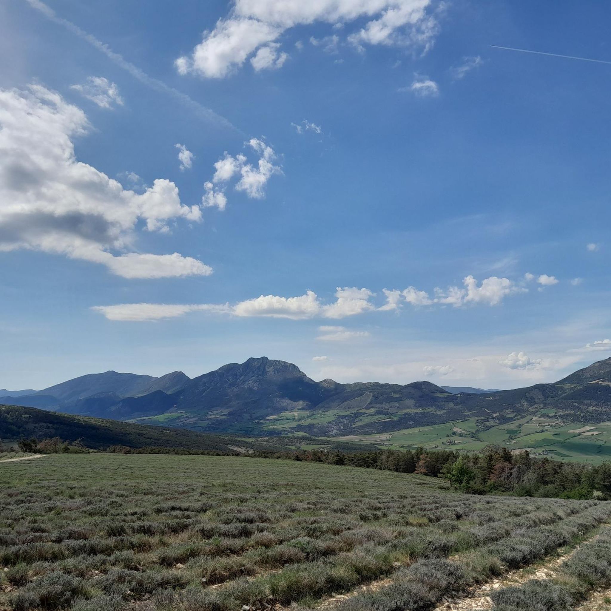
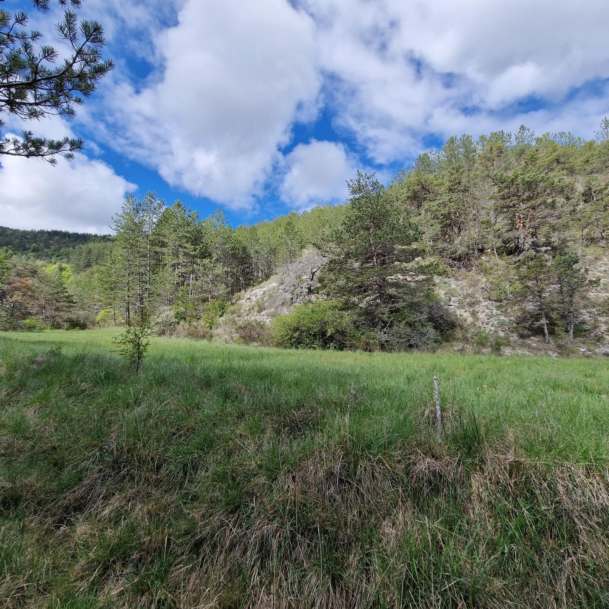
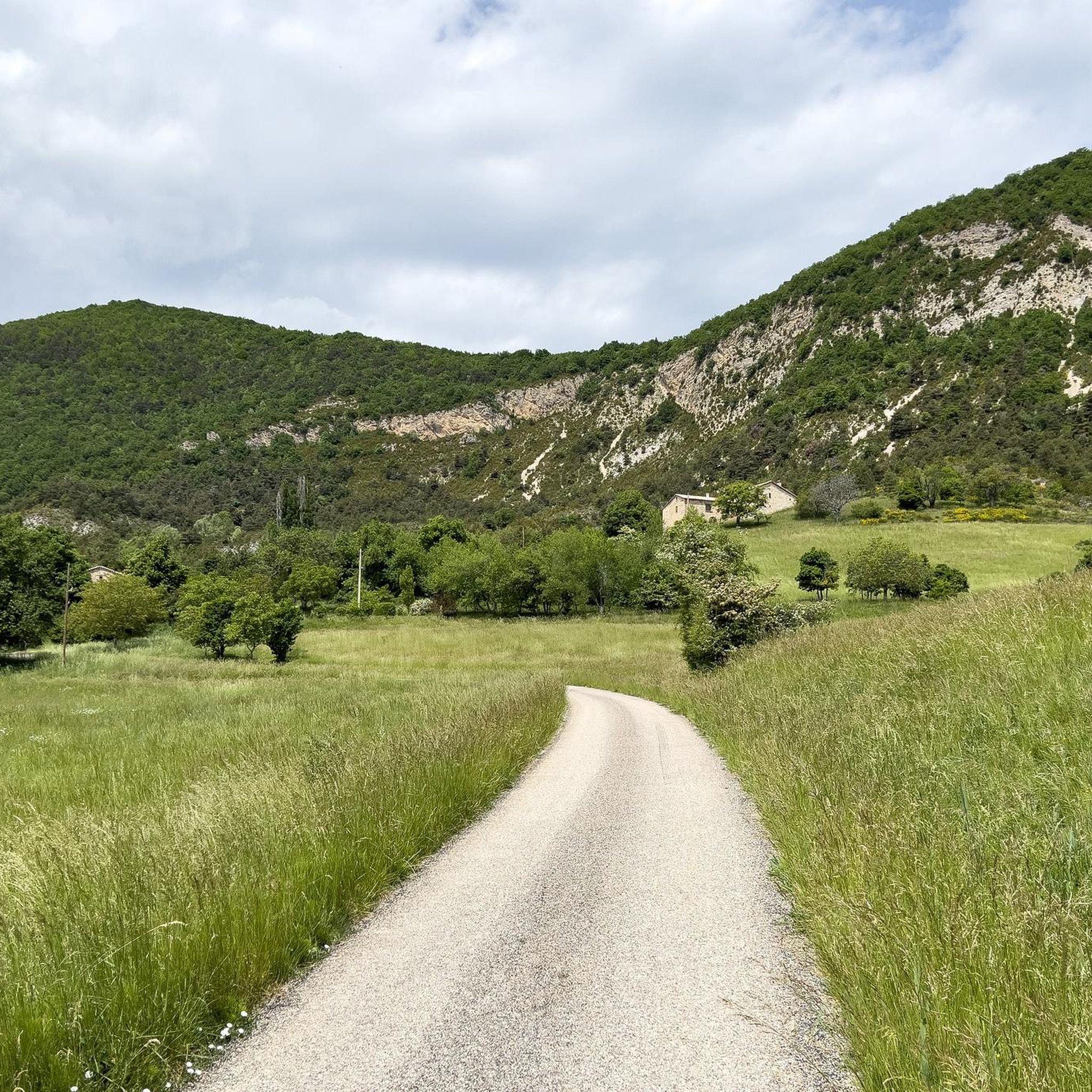
Hiking around Montjay offers varied terrain within the Regional Natural Park of the Provencal Baronnies. The landscape is characterized by hills, rocky outcrops, and ravines, providing diverse hiking experiences. Trails often feature views of prominent local features like Pointed Rock, Suillet, and the Bagnols ravine. The region provides a mix of elevations and natural environments suitable for outdoor exploration.
Best hiking trails around Montjay
- The most popular hiking route is Pointed Rock and Suillet in a loop - Regional Natural Park of the Provencal Baronnies, a 7.2 miles (11.6 km) trail that takes 4 hours 5 minutes to complete. This moderate loop offers views of key natural landmarks within the park.
- Another top favourite among local hikers is The mountain of l'Arsuc from the Col de Perty, an easy 1.3 miles (2.1 km) path. This shorter route provides access to the mountain of l'Arsuc from a mountain pass.
- Local hikers also love the View of Les Noyons – View of the Bagnols ravine loop from Orpierre, a 5.6 miles (9.0 km) trail leading through the Bagnols ravine, often completed in about 3 hours 17 minutes.
- Hiking around Montjay is defined by its hills, rocky formations, and natural park landscapes. The network offers options for different ability levels, from easy walks to more challenging ascents.
- The routes in Montjay are highly rated by the komoot community with an average score of 4.5 stars from over 220 reviews. More than 1000 hikers have used komoot to explore Montjay's varied terrain.
Last updated: July 8, 2026
3
hikers
Moderate hike. Good fitness required. Easily-accessible paths. Suitable for all skill levels.
2.06km
00:42
110m
110m
Easy hike. Great for any fitness level. Easily-accessible paths. Suitable for all skill levels.

Sign up for free
4.8
(27)
121
hikers
9.21km
03:21
510m
510m
Moderate hike. Good fitness required. Mostly accessible paths. Sure-footedness required.
4.3
(24)
123
hikers
9.02km
03:41
600m
600m
Moderate hike. Good fitness required. Mostly accessible paths. Sure-footedness required.
4.8
(13)
61
hikers
6.86km
02:41
480m
480m
Moderate hike. Good fitness required. Easily-accessible paths. Suitable for all skill levels.
Get access to more routes and recommendations from other explorers.
Sign up for free
Already have an account?
Our route recommendations are based on thousands of hikes, rides, and runs completed by other people on komoot.
Start today with a free account
Your next adventure awaits.
Login or Signup
Tips from the Community

Col de Perty is located in the Baronnies Provençales massif, in the Drôme department, in the Auvergne-Rhône-Alpes region, in the southeast of France. It reaches an altitude of 1,302 m and connects the Ouvèze valley with the Orpierre area, in the Hautes-Alpes.
2
0
Orpierre is a small medieval village located in the Hautes-Alpes department in the Provence-Alpes-Côte d’Azur region of southeastern France. It has a population of between 300 and 330 inhabitants and stands in the Céans valley, surrounded by limestone cliffs and mountains that give it a unique landscape setting.
10
0
Orpierre is a small medieval village located in the Hautes-Alpes, in the Provence-Alpes-Côte d'Azur region, in southeastern France.
9
0

At the end of the day you have great light
0
0

the drinking water fountain in the village of Orpierre
2
0

Orpierre is a tiny, pretty village at an altitude of 700 m with around 300 inhabitants in the middle of the cliffs. It has everything you need. A good starting point for hiking, cycling and climbing.
3
0

A very special place, not just for climbers. Pure easy living
0
0
Frequently Asked Questions
How many hiking trails are available around Montjay?
There are over 65 hiking trails in the Montjay area, offering a diverse range of experiences within the Regional Natural Park of the Provencal Baronnies.
What is the overall difficulty level of hiking trails in Montjay?
The trails around Montjay cater to various skill levels. You'll find 10 easy routes, 44 moderate routes, and 13 more challenging trails, ensuring options for everyone from beginners to experienced hikers.
Are there easy hiking trails suitable for beginners in Montjay?
Yes, Montjay offers several easy trails perfect for beginners. A great option is The mountain of l'Arsuc from the Col de Perty, a short 1.3-mile (2.1 km) path that provides access to the mountain from a scenic pass.
Can I find circular hiking routes around Montjay?
Absolutely. Many trails in the Montjay area are designed as loops. A popular moderate circular route is Pointed Rock and Suillet in a loop, which offers excellent views of key natural landmarks.
Are there any trails with good viewpoints in the Montjay area?
The Montjay region is known for its scenic vistas. Trails often feature views of prominent local features like Pointed Rock, Suillet, and the Bagnols ravine. For a dedicated viewpoint experience, consider the View of Les Noyons – View of the Bagnols ravine loop from Orpierre, or explore the View from the Summit of Rocher de Saint-Michel.
What are some family-friendly hiking options near Montjay?
For families, the easier trails are generally best. The mountain of l'Arsuc from the Col de Perty is a short and accessible option. Look for routes marked as 'easy' in the guide, which typically have less elevation gain and shorter distances, making them suitable for children.
Are dogs allowed on the hiking trails around Montjay?
Generally, dogs are permitted on trails in the Regional Natural Park of the Provencal Baronnies, often on a leash. However, it's always advisable to check specific trail regulations or local signage, especially in protected areas or near grazing livestock.
What is the best time of year to go hiking in Montjay?
Spring (April-June) and autumn (September-October) are ideal for hiking in Montjay, offering pleasant temperatures and vibrant landscapes. Summer can be hot, so early morning or late afternoon hikes are recommended. Winter hiking is possible, but some higher elevation trails may be affected by snow or ice.
Are there options for winter hiking in Montjay?
Yes, winter hiking is possible in Montjay, particularly on lower elevation trails. The landscape takes on a different beauty. Be prepared for colder temperatures and potentially icy conditions, especially in shaded areas or at higher altitudes. Always check weather forecasts and trail conditions before heading out.
Where can I find parking for hiking trails in Montjay?
Many trailheads around Montjay, especially those starting from villages like Orpierre or near mountain passes like Col de Perty, offer designated parking areas. It's recommended to check the starting point details of your chosen route for specific parking information.
Is public transport available to reach hiking trailheads in Montjay?
Public transport options directly to remote trailheads in the Montjay area can be limited. It's often easier to reach starting points by car. However, some larger villages in the region may have bus services, from which you might be able to access certain trails.
What do other hikers say about the trails in Montjay?
The hiking trails around Montjay are highly rated by the komoot community, with an average score of 4.5 stars from over 220 reviews. Hikers often praise the varied terrain, the stunning views of the Provencal Baronnies, and the well-maintained paths that lead through hills, rocky outcrops, and ravines.
Are there any interesting landmarks or attractions near the hiking routes?
Beyond the natural beauty, the Montjay area is rich in points of interest. You can explore various mountain passes such as Perty Pass or Saint-Jean Pass. The region also features notable peaks like Chamouse Mountain, offering additional exploration opportunities.
Most popular attractions around Montjay

Get inspired with the komoot mobile app


Explore more
Browse the best Hikes in other regions.
