The best cycling routes around Montjay
4.7
(82)
1,014
riders
57
rides
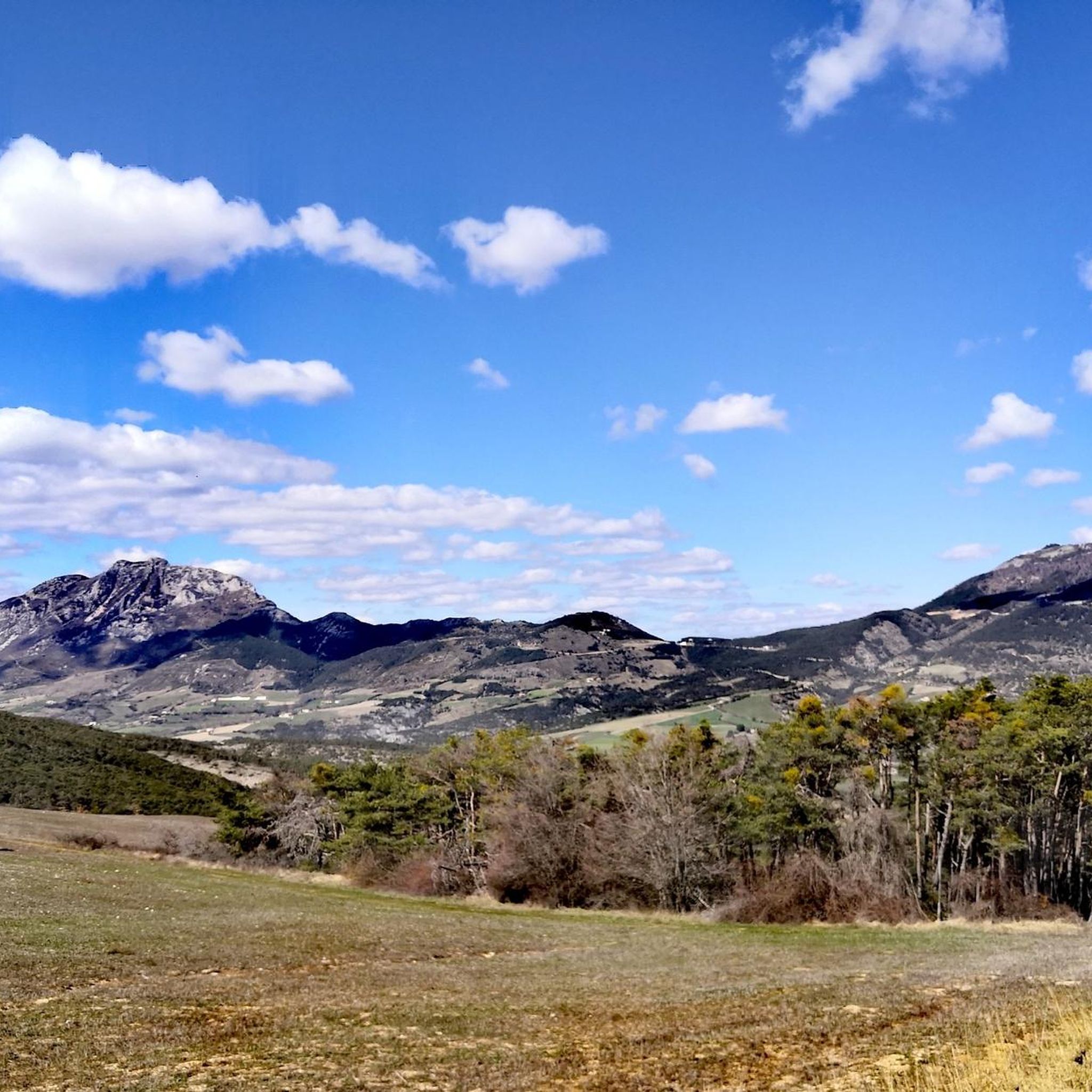
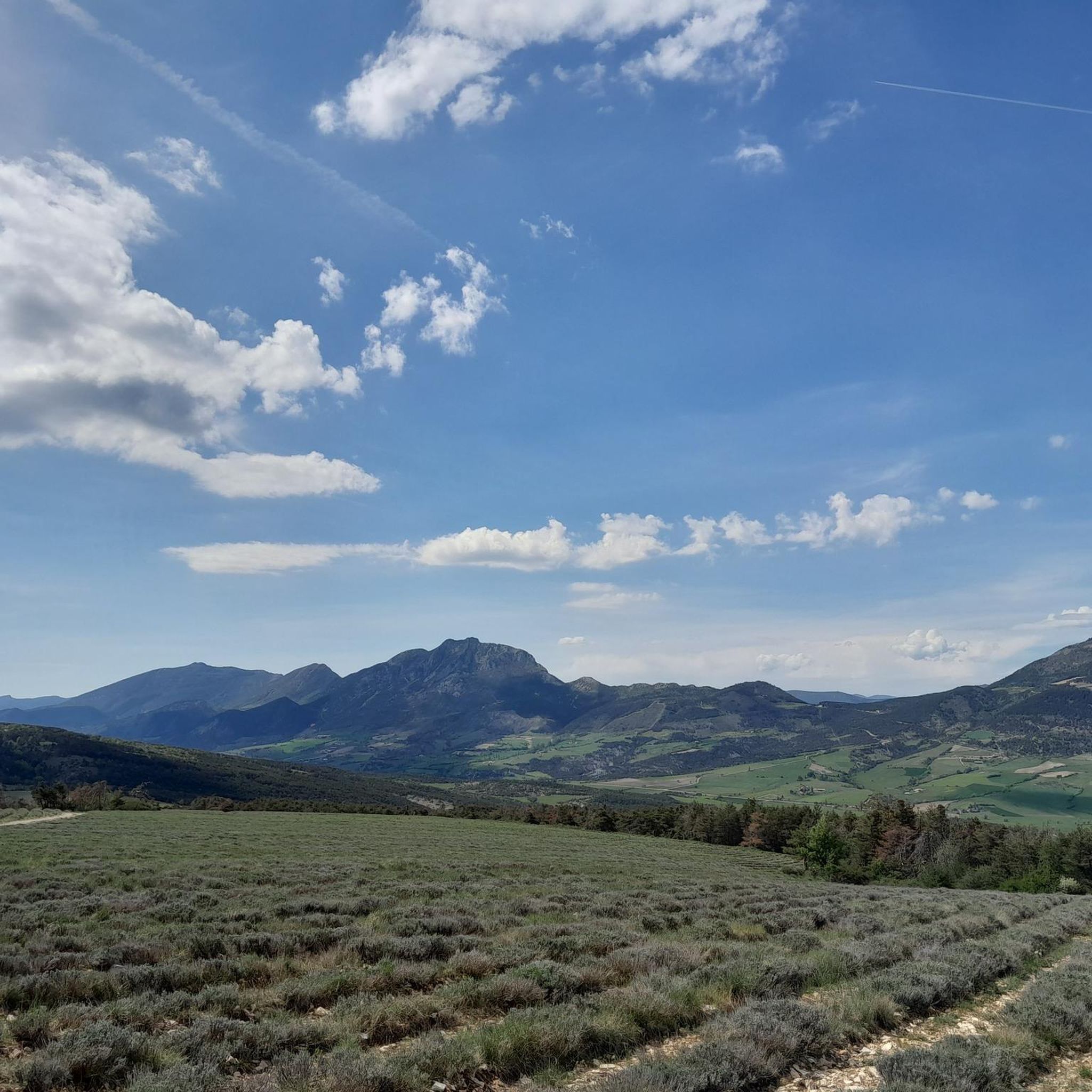
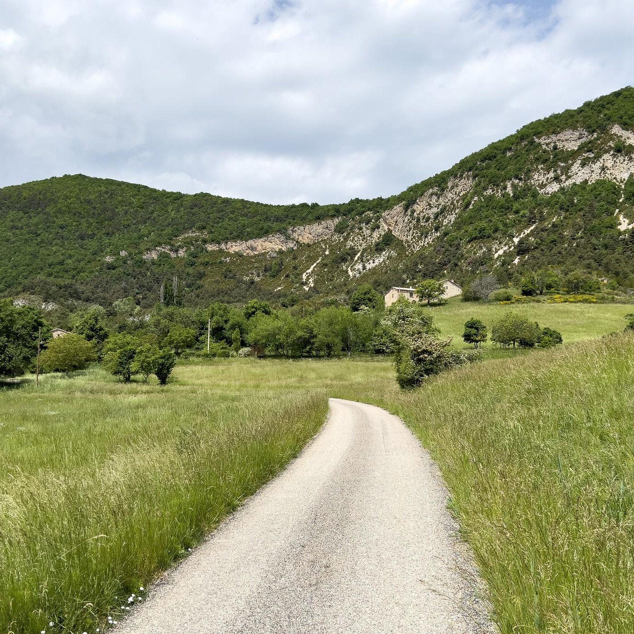
Touring cycling routes around Montjay are situated in the Hautes-Alpes department of the Southern French Alps, characterized by diverse terrain. The region features challenging ascents and scenic routes through varied landscapes. Montjay itself offers access to discreet roads, providing peaceful journeys through the countryside. This area is known for its natural settings, offering a backdrop for active outdoor pursuits.
Best touring cycling routes around Montjay
- The most popular touring cycling route is Gorges de la Méouge – Méouge Valley loop…
Last updated: June 29, 2026
4.5
(4)
64
riders
90.8km
05:59
1,200m
1,200m
Hard bike ride. Very good fitness required. Mostly paved surfaces. Suitable for all skill levels.
4.8
(8)
58
riders
34.2km
02:30
760m
760m
Hard bike ride. Very good fitness required. Mostly paved surfaces. Suitable for all skill levels.

Sign up for free
5.0
(5)
20
riders
23.5km
01:51
500m
500m
Hard bike ride. Very good fitness required. Mostly paved surfaces. Suitable for all skill levels.
14
riders
89.6km
06:33
2,000m
2,000m
Hard bike ride. Very good fitness required. Mostly paved surfaces. Suitable for all skill levels.
11
riders
32.0km
02:16
640m
640m
Hard bike ride. Very good fitness required. Mostly paved surfaces. Suitable for all skill levels.
Get access to more routes and recommendations from other explorers.
Sign up for free
Already have an account?
Our route recommendations are based on thousands of hikes, rides, and runs completed by other people on komoot.
Start today with a free account
Your next adventure awaits.
Login or Signup
Tips from the Community

Altitude: 1,159 m * Region: Drôme, on the border with the Hautes-Alpes department. * Connects: the villages of Laborel and Lachau with the Céans valley.
4
0
Col de la Saulce is a pass in the Baronnies, located in the Hautes-Alpes department, at an altitude of 874 m. It connects the Eygues valley with the Buëch valley and is crossed by the departmental road D994.
9
0
The Col du Reychasset is a pass located at an altitude of 1,052 m, in the Drôme department, within the Parc naturel régional des Baronnies provençales. It connects the Armalause valley with the Céans valley, between the municipalities of Chauvac-Laux-Montaux and Villebois-les-Pins.
8
0
Col du Reychasset is a pass located at 1,052 m altitude, in the Drôme department, within the Parc naturel régional des Baronnies provençales. It connects the Armalause valley with the Céans valley, between the municipalities of Chauvac-Laux-Montaux and Villebois-les-Pins.
8
0
The Méouge gorges are a spectacular natural canyon located between the departments of Hautes-Alpes and Drôme, in the southeast of France. They are renowned for their turquoise waters, limestone cliffs, and numerous natural pools where you can swim in the summer.
9
0
The Gorges de la Méouge are a spectacular natural canyon located between the departments of Hautes-Alpes and Drôme, in the South-East of France. They are renowned for their turquoise waters, limestone cliffs, and numerous natural pools where you can swim in the summer.
10
0
Orpierre is a small medieval village located in the Hautes-Alpes department in the Provence-Alpes-Côte d’Azur region of southeastern France. It has a population of between 300 and 330 inhabitants and stands in the Céans valley, surrounded by limestone cliffs and mountains that give it a unique landscape setting.
8
0
The Col de Pierre-Vesce is a mountain pass located in the Drôme department, in the heart of the Baronnies Provençales massif. Some details: * 📍 Altitude: approximately 1,056 m (some less recent sources mention 1,013 m, but the altitude of the pass on the road is generally indicated as 1,056 m). * 🚴 It connects the municipalities of Laborel and Villebois-les-Pins. * ⛰️ The climb is short but demanding: * from Laborel: 3.3 km with an average gradient of 6.9%; * from Villebois-les-Pins: 2.3 km with an average gradient of 8.7%, with sections reaching almost 14%.
9
0
Frequently Asked Questions
How many touring cycling routes are available around Montjay?
There are over 50 touring cycling routes around Montjay, offering a diverse range of experiences. These include 3 easy routes, 18 moderate routes, and 35 difficult routes, catering to various skill levels.
What is the best time of year for touring cycling in Montjay?
The Southern French Alps, where Montjay is located, generally offer pleasant conditions for cycling from late spring through early autumn. During these months, you can expect favorable weather for exploring the region's splendid landscapes and diverse terrain.
What kind of terrain should I expect on touring cycling routes in Montjay?
The touring cycling routes around Montjay are characterized by diverse terrain, including challenging ascents and scenic descents. You'll find discreet roads perfect for peaceful journeys through the countryside, set against the backdrop of the magnificent landscapes of the Hautes-Alpes.
Are there any circular touring cycling routes in Montjay?
Yes, many routes in the Montjay area are designed as loops, allowing you to start and finish in the same location. An example is the Orpierre – Perty Pass loop from Laborel, which covers 36.6 km and includes a significant pass.
What natural features can I expect to see on touring cycling routes around Montjay?
The region is known for its magnificent landscapes and natural settings. You can expect to cycle through picturesque valleys, past charming villages, and potentially near some of the numerous lakes and bodies of water found in the Hautes-Alpes department. The Gorges de la Méouge – Méouge Valley loop from Sainte-Colombe, for instance, explores a scenic valley and its gorges.
Are there any interesting villages or landmarks to visit along the touring cycling routes?
Absolutely. The routes often pass through or near authentic villages and historical points of interest. For example, the Orpierre village centre – Montjay loop from Sainte-Colombe leads through village centers and rural landscapes. You might also encounter settlements like Orpierre, Rosans, and Serres.
Are there any notable mountain passes accessible by touring bike?
Yes, the Montjay area, being in the Southern French Alps, features several mountain passes that are popular with touring cyclists. You can find passes like Perty Pass, Saint-Jean Pass, and Col des Tourette (1126 m). The Reychasset Pass – Church in Les Begues loop from Laux-Montaux specifically includes a significant pass.
Are there family-friendly touring cycling routes in Montjay?
While many routes in Montjay are rated moderate to difficult due to the mountainous terrain, there are a few easier options available. It's advisable to check the specific route details and elevation profiles on komoot to find paths suitable for all family members.
What do other touring cyclists say about the routes in Montjay?
The touring cycling routes in Montjay are highly rated by the komoot community, with an average score of 4.7 stars from over 70 reviews. More than 1000 touring cyclists have explored the varied terrain, often praising the challenging ascents and the peaceful, discreet roads through the stunning regional landscapes.
Where can I find parking for touring cycling routes in Montjay?
Given Montjay's authentic village charm and its integration within a naturally rich environment, parking is generally available in or near the starting points of routes, especially in the villages. Specific parking information can often be found in the detailed route descriptions on komoot.
Are there places to eat or stay near the touring cycling routes in Montjay?
Montjay and the surrounding villages offer various amenities for visitors. You can find cafes, pubs, and accommodation options that cater to cyclists. These establishments provide convenient stops for refreshments or overnight stays, allowing you to fully enjoy the region's outdoor activities.
What is a good challenging touring cycling route for experienced riders?
For experienced riders seeking a challenge, the Orpierre village centre – Saint-Jean Pass loop from Le Pouly is an excellent choice. This difficult route covers 40.1 km and features over 1000 meters of elevation gain, offering a demanding yet rewarding experience through the mountainous landscape.
Most popular attractions around Montjay

Get inspired with the komoot mobile app


Explore more
Browse the best Cycling routes in other regions.
