The best road cycling routes around Montjay
4.4
(86)
2,187
riders
55
rides
Road cycling around Montjay, located in the Hautes-Alpes department of the Provence-Alpes-Côte d'Azur region, offers diverse terrain characterized by mountainous landscapes and challenging passes. The area is nestled within the Southern French Alps, providing a backdrop of mountains and valleys. This region features significant elevation gains, making it suitable for road cyclists seeking varied challenges.
Best road cycling routes around Montjay
- The most popular road cycling route is Three Cols of the Baronnies Provençales Loop, a 75.4 miles (121.3 km) trail that takes 6 hours 22 minutes to complete. This difficult route traverses three significant cols, offering extensive ascents.
- Another top favourite among local road cyclists is Col de la Haute Beaume loop from Serres, a difficult 42.2 miles (68.0 km) path. This route features significant elevation gain, providing a demanding cycling experience.
- Local road cyclists also love the Serres – Montjay loop from Orpierre, a 35.3 miles (56.8 km) trail leading through varied terrain with views of the surrounding mountains, often completed in about 2 hours 31 minutes.
- Road cycling around Montjay is defined by mountainous landscapes, challenging passes, and alpine valleys. The network offers options for easy, moderate, and difficult ability levels.
- The routes in Montjay are highly rated by the komoot community with an average score of 4.3 stars from over 70 reviews. More than 1,400 road cyclists have used komoot to explore Montjay's varied terrain.
Last updated: July 2, 2026
22
riders
121km
06:22
2,260m
2,260m
This difficult 75.4-mile road cycling route in the Parc naturel régional des Baronnies Provençales climbs three cols with 7426 feet of gain.
4.6
(8)
121
riders
68.3km
03:19
920m
920m
Hard road ride. Very good fitness required. Mostly well-paved surfaces and easy to ride.

Sign up for free
5.0
(5)
105
riders
95.2km
05:04
1,840m
1,840m
Hard road ride. Very good fitness required. Mostly well-paved surfaces and easy to ride.
4.7
(3)
92
riders
52.6km
02:24
610m
610m
Moderate road ride. Good fitness required. Mostly well-paved surfaces and easy to ride.
4.7
(7)
69
riders
63.7km
02:53
720m
720m
Moderate road ride. Good fitness required. Mostly well-paved surfaces and easy to ride.
Get access to more routes and recommendations from other explorers.
Sign up for free
Already have an account?
Our route recommendations are based on thousands of hikes, rides, and runs completed by other people on komoot.
Start today with a free account
Your next adventure awaits.
Login or Signup
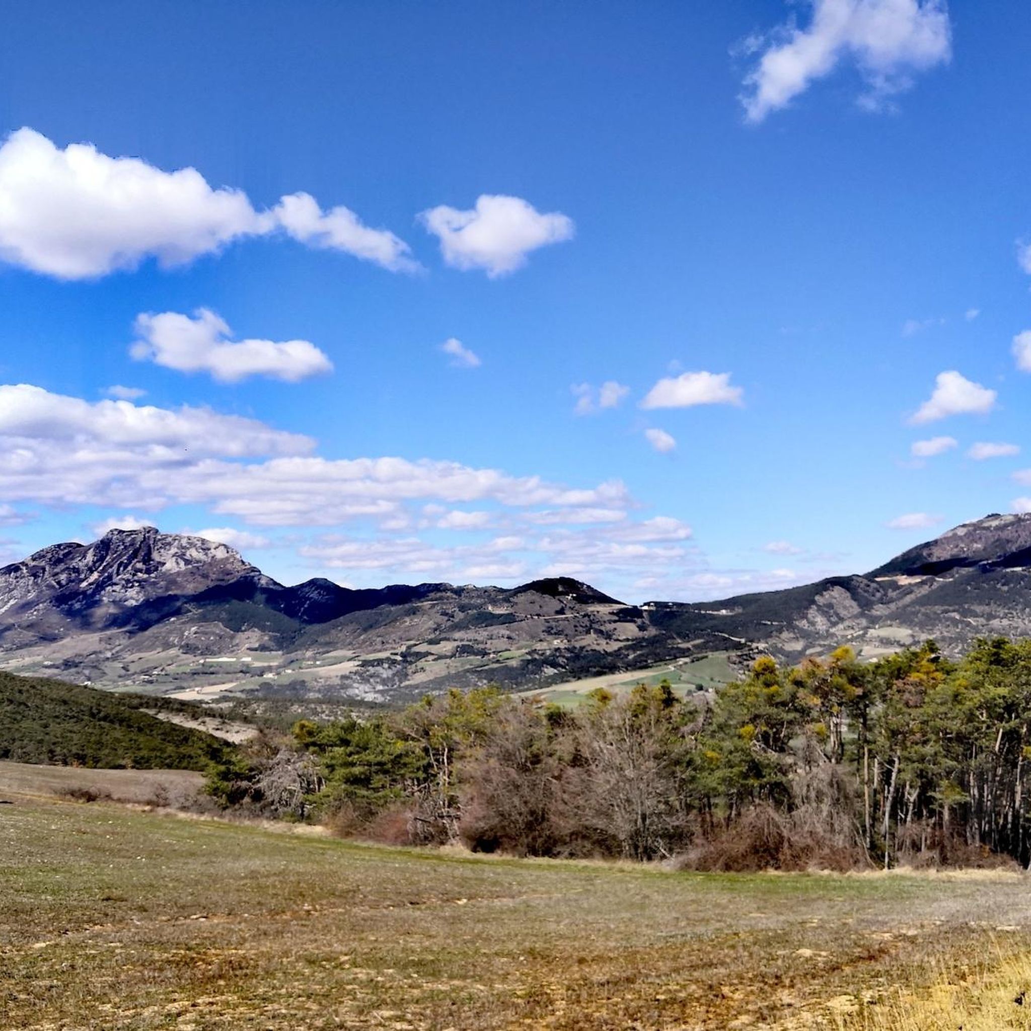
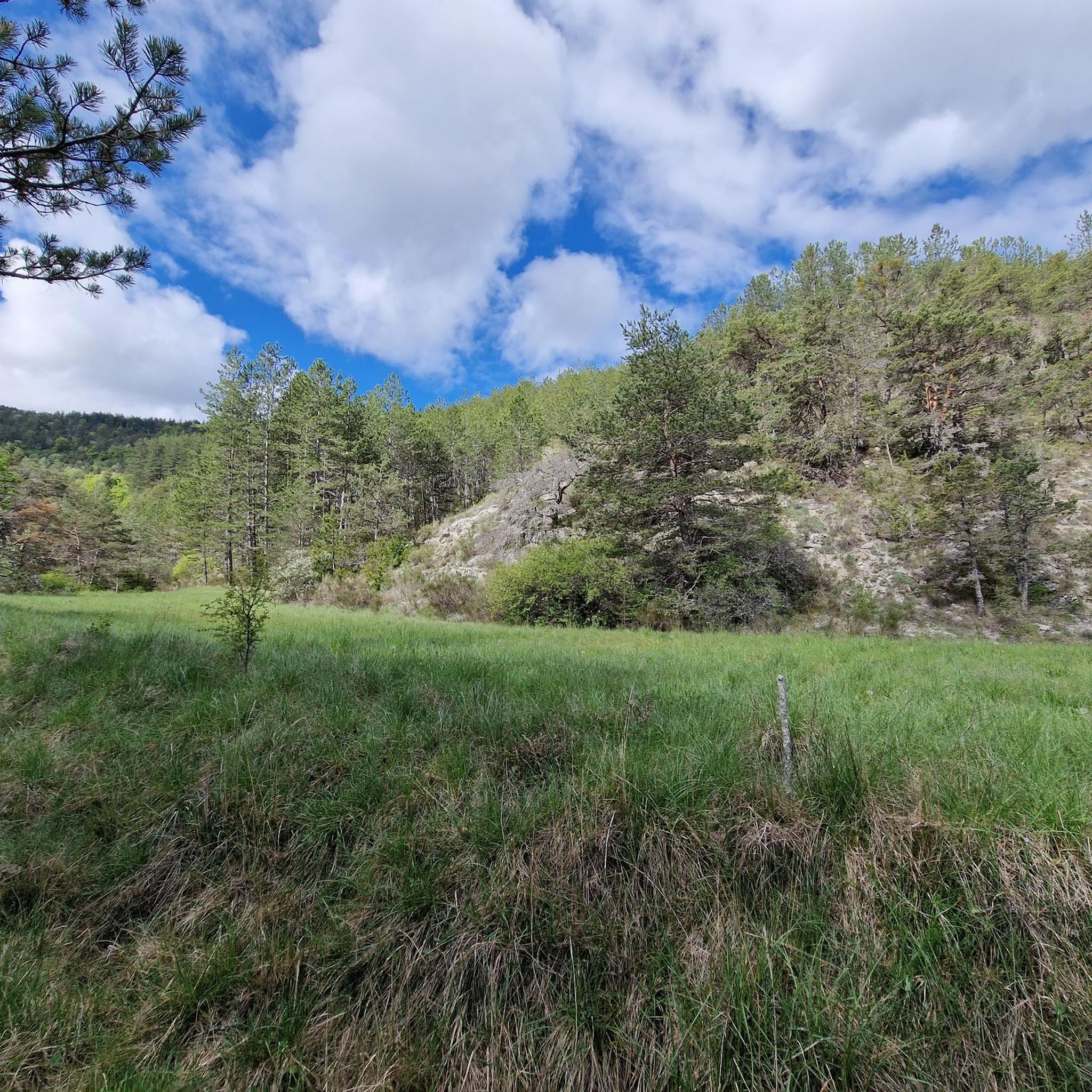
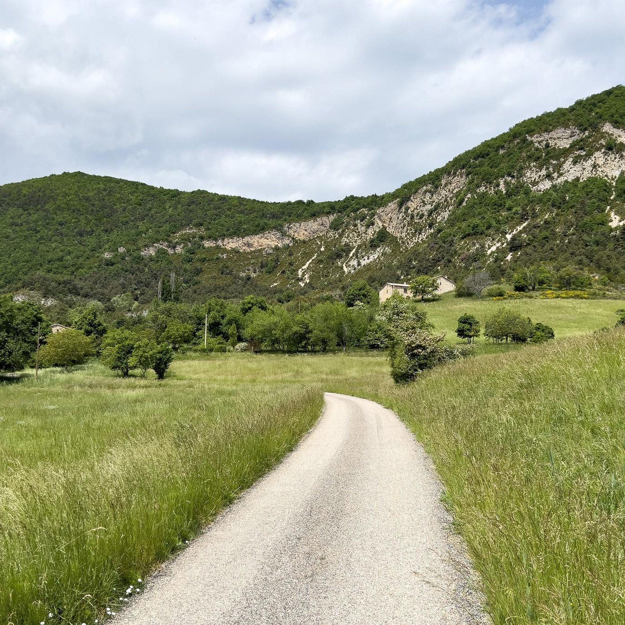
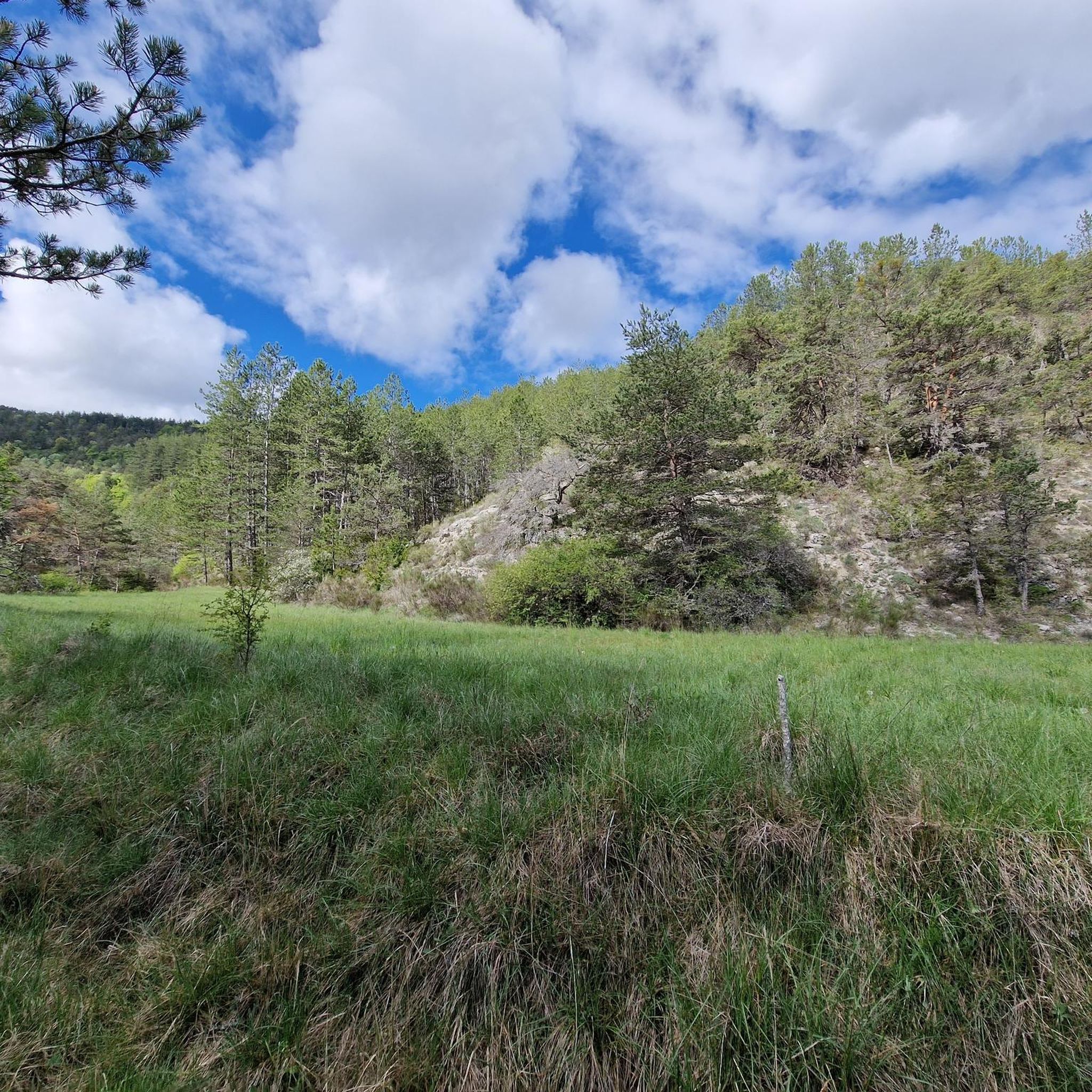
Tips from the Community

For cyclists it's a climb: * Length: approx. 7 km * Elevation gain: approx. 320 m * Average gradient: 4.6% * Maximum gradient: approx. 5%
2
0
The Col de Soubeyrand (987–994 m, depending on the map source) is located in the Drôme department, in the Auvergne-Rhône-Alpes region, within the Baronnies provençales massif. It connects the Eygues valley with the Ennuye valley, between the villages of Rémuzat and Sainte-Jalle.
4
0
Col de Perty is located in the Baronnies Provençales massif, in the Drôme department, in the Auvergne-Rhône-Alpes region, in the southeast of France. It reaches an altitude of 1,302 m and connects the Ouvèze valley with the Orpierre area, in the Hautes-Alpes.
5
0
A road that cuts out the traffic, Unforgettable panoramas
11
0
The Col de Faye is a mountain pass in the Southern Alps, located in the department of Hautes-Alpes at an altitude of approximately 922 to 924 meters. It connects the Buëch valley to the Durance valley — between the municipalities of Savournon and Ventavon — via the departmental road D21.
13
0
Stunning view of the Buẽch river
9
0
Frequently Asked Questions
What kind of terrain can I expect when road cycling around Montjay?
Road cycling around Montjay is characterized by diverse and often challenging mountainous landscapes within the Southern French Alps. You'll encounter significant elevation gains, picturesque valleys, and a network of discreet roads that offer a tranquil cycling experience away from heavy traffic. The region is known for its demanding climbs and rewarding descents.
Are there road cycling routes suitable for beginners or those seeking an easier ride?
Yes, while Montjay is known for its challenging mountain passes, there are also options for less experienced cyclists. Out of the 44 road cycling routes available, 3 are classified as easy and 17 as moderate. These routes offer a gentler introduction to the region's beautiful scenery without the intense elevation gains of the more difficult passes.
What are some notable mountain passes I can conquer by road bike near Montjay?
The region boasts several iconic mountain passes that offer both a physical challenge and spectacular views. Cyclists can tackle the Perty Pass, which reaches 1302 meters and provides expansive panoramas, or the Col de Saint-Jean at 1,159 meters, known for its wide views of the Baronnies massif. Other significant climbs include those found on routes like the La Charce Castle – Col de Carabès loop from Serres.
Are there any circular road cycling routes available in the Montjay area?
Yes, many of the road cycling routes around Montjay are designed as loops, allowing you to start and finish in the same location. An example of a challenging circular route is the Three Cols of the Baronnies Provençales Loop, which covers over 121 km and traverses three significant cols. For a moderate option, consider the Serres – Montjay loop from Orpierre.
What kind of landmarks or attractions can I see along the road cycling routes?
Beyond the natural beauty, road cycling routes often pass through or near charming villages and historical sites. You can explore medieval towns like Serres with its arcaded square, or the pretty village of Orpierre. The routes also offer stunning viewpoints, such as the View from the Summit of Rocher de Saint-Michel, providing panoramic vistas of the surrounding mountains and valleys.
What do other road cyclists enjoy most about cycling in Montjay?
The road cycling routes in Montjay are highly rated by the komoot community, with an average score of 4.3 stars from over 70 reviews. Cyclists frequently praise the region's stunning mountainous landscapes, the challenge of its passes, and the tranquility of its scenic roads. The diverse terrain, offering options from moderate to difficult, is also a significant draw for many.
Is Montjay a good destination for long-distance road cycling?
Absolutely. Montjay is an excellent base for long-distance road cycling, with routes that can extend over 100 kilometers and feature significant elevation gains. For instance, the Three Cols of the Baronnies Provençales Loop is a difficult 121 km route with over 2,260 meters of elevation gain, perfect for endurance riders.
What is the best time of year for road cycling in Montjay?
The region around Montjay, nestled in the Southern French Alps, generally offers favorable conditions for road cycling from spring through autumn. The summer months provide warm weather, while spring and early autumn can offer cooler temperatures and vibrant scenery. It's always advisable to check local weather patterns closer to your planned visit, especially for higher mountain passes which may have snow earlier or later in the season.
Are there any specific routes that offer particularly scenic viewpoints?
Many routes in Montjay are designed to showcase the region's breathtaking natural beauty. Passes like Perty Pass and Col de Saint-Jean are renowned for their panoramic views of the surrounding mountains, including glimpses of Mont Ventoux on clear days. Routes that traverse these higher elevations consistently provide spectacular vistas.
Can I find road cycling routes that pass through charming villages?
Yes, several road cycling routes in the Montjay area will take you through or near charming, authentic villages. For example, the Col de la Haute Beaume loop from Serres will bring you close to the medieval town of Serres. You can also explore routes that lead to Rosans, known for its beautiful ocher-colored stones and 13th-century square tower.
Are there road cycling routes suitable for families with children?
While many routes in Montjay feature significant elevation, there are easier and moderate options that could be suitable for families, depending on their cycling experience. The 3 easy and 17 moderate routes provide less demanding terrain. It's recommended to check the specific route details, including distance and elevation gain, for routes like the Serres – Montjay loop from Orpierre to ensure it matches your family's ability level.
Most popular attractions around Montjay

Get inspired with the komoot mobile app


Explore more
Browse the best Road cycling routes in other regions.
