The best walks and hikes around Sousville
4.5
(854)
7,887
hikers
158
hikes
Hiking around Sousville offers access to the diverse natural landscapes of the Auvergne-Rhône-Alpes region, situated within the Isère department of southeastern France. The area is characterized by varied terrain, including the shores of Lake Monteynard-Avignonet, expansive mountain pastures, and the dramatic ridges of the Eastern Balcony of the Vercors. Prominent massifs such as Chartreuse, Vercors, Belledonne, and Oisans contribute to the region's natural beauty, featuring forests, alpine meadows, and unique geological formations. The Vercors Plateaux Nature Reserve is a significant…
Last updated: July 1, 2026
4.7
(9)
35
hikers
10.3km
03:25
300m
300m
Moderate hike. Good fitness required. Mostly accessible paths. Sure-footedness required.
4.5
(2)
15
hikers
3.51km
00:59
70m
60m
Easy hike. Great for any fitness level. Easily-accessible paths. Suitable for all skill levels.

Sign up for free
5.0
(1)
11
hikers
22.1km
07:47
1,010m
1,010m
Hard hike. Very good fitness required. Mostly accessible paths. Sure-footedness required.
5.0
(1)
21
hikers
16.2km
05:19
600m
600m
Hard hike. Very good fitness required. Mostly accessible paths. Sure-footedness required.
4
hikers
13.5km
04:18
400m
400m
Moderate hike. Good fitness required. Mostly accessible paths. Sure-footedness required.
Get access to more routes and recommendations from other explorers.
Sign up for free
Already have an account?
Our route recommendations are based on thousands of hikes, rides, and runs completed by other people on komoot.
Start today with a free account
Your next adventure awaits.
Login or Signup


Tips from the Community

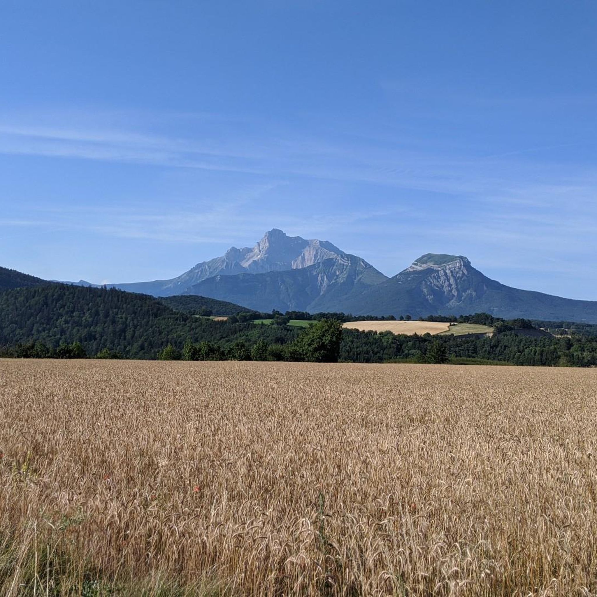
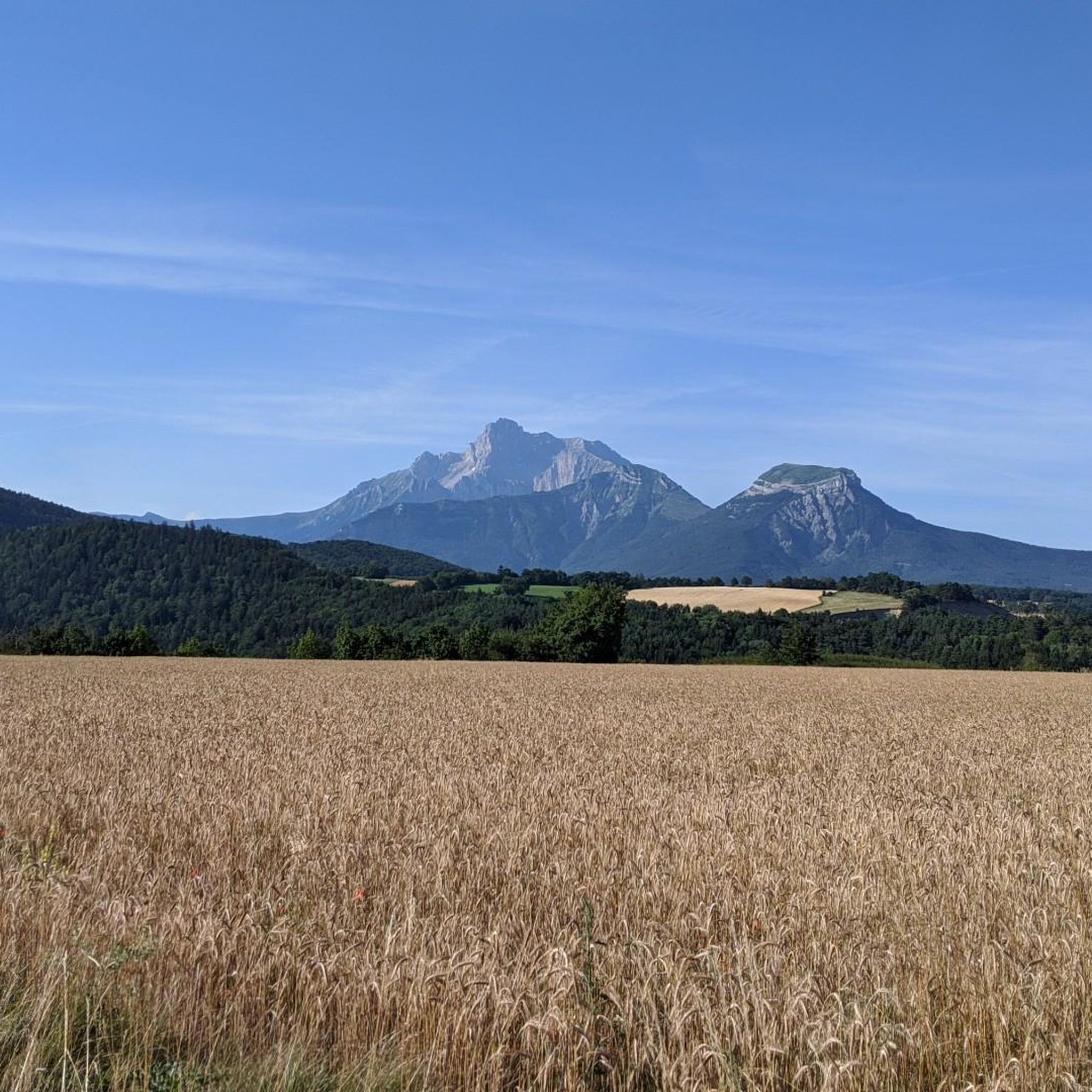
Serre de l'horizon lives up to its name: mountain of the horizon. From its summit, one can enjoy a 360° view encompassing the Taillefer, Dévoluy, Vercors and Belledonne mountain ranges.
0
0
Before reaching the summit of the pass, in the alpine pasture, this water catchment is beautifully painted
0
0

Church at the entrance to the cemetery
0
0


Steep last bends from the pass on a very grassy track, it's for the strong. But the reward: What a 360° panorama at the top!
1
0
Frequently Asked Questions
How many hiking trails are available around Sousville?
The Sousville area offers a vast network of hiking opportunities, with over 140 distinct trails. These routes cater to various skill levels, from leisurely walks to more challenging mountain ascents, ensuring there's something for every hiker.
What kind of landscapes can I expect to see while hiking near Sousville?
Hiking around Sousville immerses you in the diverse natural beauty of the Auvergne-Rhône-Alpes region. You'll encounter tranquil lake shores, expansive mountain pastures, and the dramatic ridges of the Eastern Balcony of the Vercors. The area is also shaped by prominent massifs like Chartreuse, Vercors, Belledonne, and Oisans, featuring lush forests, alpine meadows, and unique geological formations.
Are there hiking options for beginners or families in Sousville?
Yes, Sousville offers a good selection of trails suitable for beginners and families. For an accessible walk exploring local landmarks, consider the La Mure War Memorial – Three Crosses of La Mure loop from La Mure, which is an easy 3.2-mile (5.2 km) path.
What makes hiking in the Sousville area unique?
The region's unique features include the impressive Himalayan footbridges over Lake Monteynard-Avignonet, such as the 220-meter Drac footbridge, offering extraordinary views. Another distinctive landmark is La Pierre Percée, a natural arch providing panoramic views of the Matheysine plateau.
What do other hikers say about the trails around Sousville?
The trails in Sousville are highly regarded by the komoot community, boasting an average rating of 4.5 stars from over 1,100 reviews. Hikers often praise the diverse landscapes, from tranquil lake shores to dramatic mountain ridges, and the variety of routes available for all abilities.
Are there any notable landmarks or viewpoints to discover on hikes near Sousville?
Absolutely. Many trails offer stunning viewpoints and lead to significant landmarks. You can experience the unique Drac Footbridge, a suspension bridge with impressive views, or visit La Pierre Percée, a natural arch framing the Matheysine plateau. For panoramic mountain vistas, consider routes that offer an Astonishing view of Mont Aiguille.
Can I find trails that feature water elements like lakes or waterfalls?
Yes, the region around Sousville is rich in water features. The tranquil shores of Lake Monteynard-Avignonet are a prominent highlight, and the massifs like Vercors and Belledonne are known for their impressive peaks and tumbling waterfalls. The Drac Footbridge itself spans a dammed river, offering unique perspectives over water.
Are there any circular hiking routes available around Sousville?
Many of the trails around Sousville are designed as circular routes, allowing you to start and end in the same location. An example is the View of Grand Serre – View of Devoluy loop from La Mure, a moderate 5.3-mile (8.5 km) trail offering panoramic views.
Are the hiking trails around Sousville well-marked?
The Isère department, where Sousville is located, is renowned for its vast network of 9,000 km of well-marked hiking paths. You can generally expect clear signage and maintained trails, making navigation straightforward for hikers of all experience levels.
What is the best time of year to go hiking in Sousville?
The diverse landscapes around Sousville offer hiking opportunities throughout much of the year. Spring and autumn provide pleasant temperatures and vibrant scenery, while summer is ideal for higher altitude trails. Some trails may also be suitable for winter hikes, especially in lower elevations, but always check local conditions.
Are there any longer, more challenging hikes for experienced trekkers?
For experienced hikers seeking a challenge, the area offers more demanding routes. The La Mure Town Hall – Le Sénépy loop from La Mure is a difficult 13.7-mile (22.1 km) trail leading through varied terrain towards Le Sénépy, often taking nearly 8 hours to complete.
Can I bring my dog on the hiking trails near Sousville?
Many trails in the Sousville area are dog-friendly, especially those in natural areas. However, it's always recommended to check specific trail regulations, particularly within protected areas like the Vercors Plateaux Nature Reserve, where rules regarding dogs might be stricter to protect wildlife. Always keep your dog on a leash and clean up after them.
Most popular attractions around Sousville

Get inspired with the komoot mobile app


Explore more
Browse the best Hikes in other regions.
