Top 20 Mountain Passes around Molines-En-Queyras
Best mountain passes around Molines-En-Queyras are situated in the French Alps, a region characterized by its high-altitude terrain and connection to the Queyras Regional Natural Park. The area features a network of mountain passes, some of which serve as historical trade routes and border crossings. These passes offer access to diverse landscapes, including alpine environments and valleys.
Best mountain passes around Molines-En-Queyras
- The most popular mountain passes is Tunnel de la Traversette (Buco di Viso), a man_made_monument that was completed in 1480 and is located at 2,882 meters above sea level. This 75-meter long passage was designed to transport goods without crossing the higher Traversette pass.
- Another must-see spot is Fromage Pass, a mountain_pass. It peaks at 2,301 meters above sea level and offers views of the Cristillan valley.
- Visitors also love Col de Furfande, a mountain_pass at an altitude of 2,500 meters. This pass provides panoramic views of the Dent du Ratier, the Rochebrune, and the Font Sancte.
- Molines-En-Queyras is known for historical passes, scenic viewpoints, and challenging routes. The region offers a variety of mountain passes to explore, ranging from ancient tunnels to high-altitude viewpoints.
- The mountain passes around Molines-En-Queyras are appreciated by the komoot community, with 73 upvotes and 85 photos contributed by visitors.
Last updated: July 10, 2026
Col Fromage
Highlight • Mountain Pass
Borrowed by the famous GR 5, it offers an unobstructed view of the Cristillan valley to the south and the points of La Selle and Rasis to the northeast.
Translated by Google •
Tip by

Tunnel de la Traversette (Buco di Viso)
Highlight (Segment) • Monument
Translated by Google •
Tip by

Sign up now to discover places like this
Get recommendations on the best single tracks, peaks, & plenty of other exciting outdoor places.
Sign up for free
Col de Furfande
Highlight • Mountain Pass
Translated by Google •
Tip by

Vallanta Pass
Highlight • Mountain Pass
Translated by Google •
Tip by
La Casse Déserte
Highlight • Natural Monument
Translated by Google •
Tip by

Sign up for free to discover even more mountain passes around Molines-En-Queyras.
Sign up for free
Already have an account?
Start today with a free account
Your next adventure awaits.
Login or Signup
Popular around Molines-En-Queyras
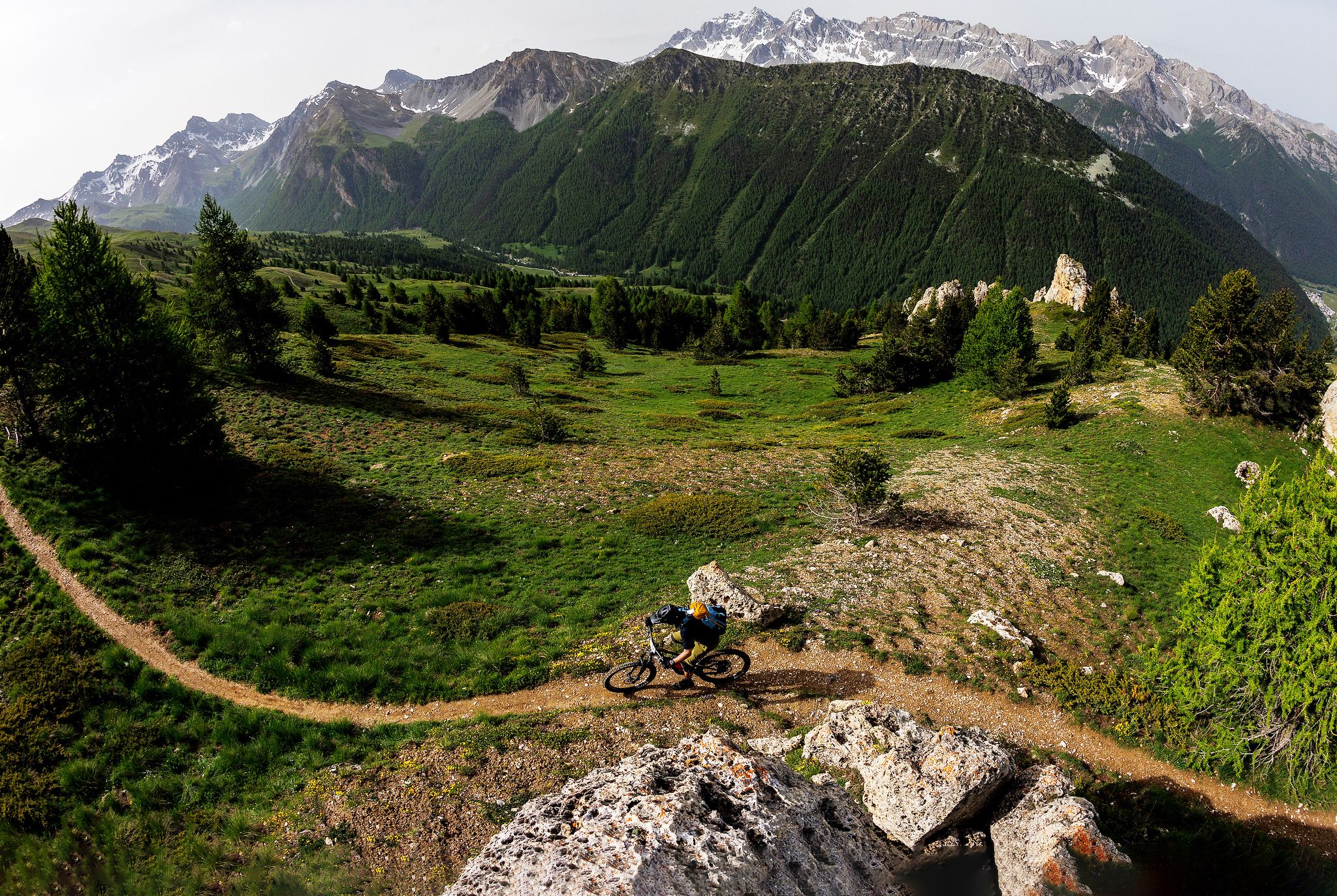
The STONE KING Route – adventure enduro from High Alps to the Med

High mountain escapades — 15 peaks over 3,000m in the Alps
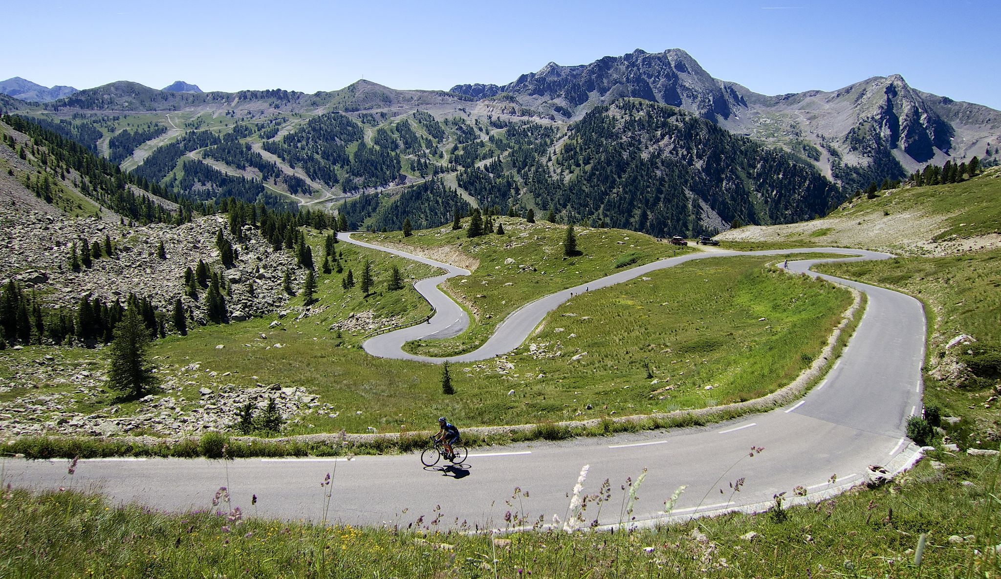
Conquer peaks – 7 Majors challenge between France and Italy

The most beautiful MTB and hiking tours in the French Maritime Alps
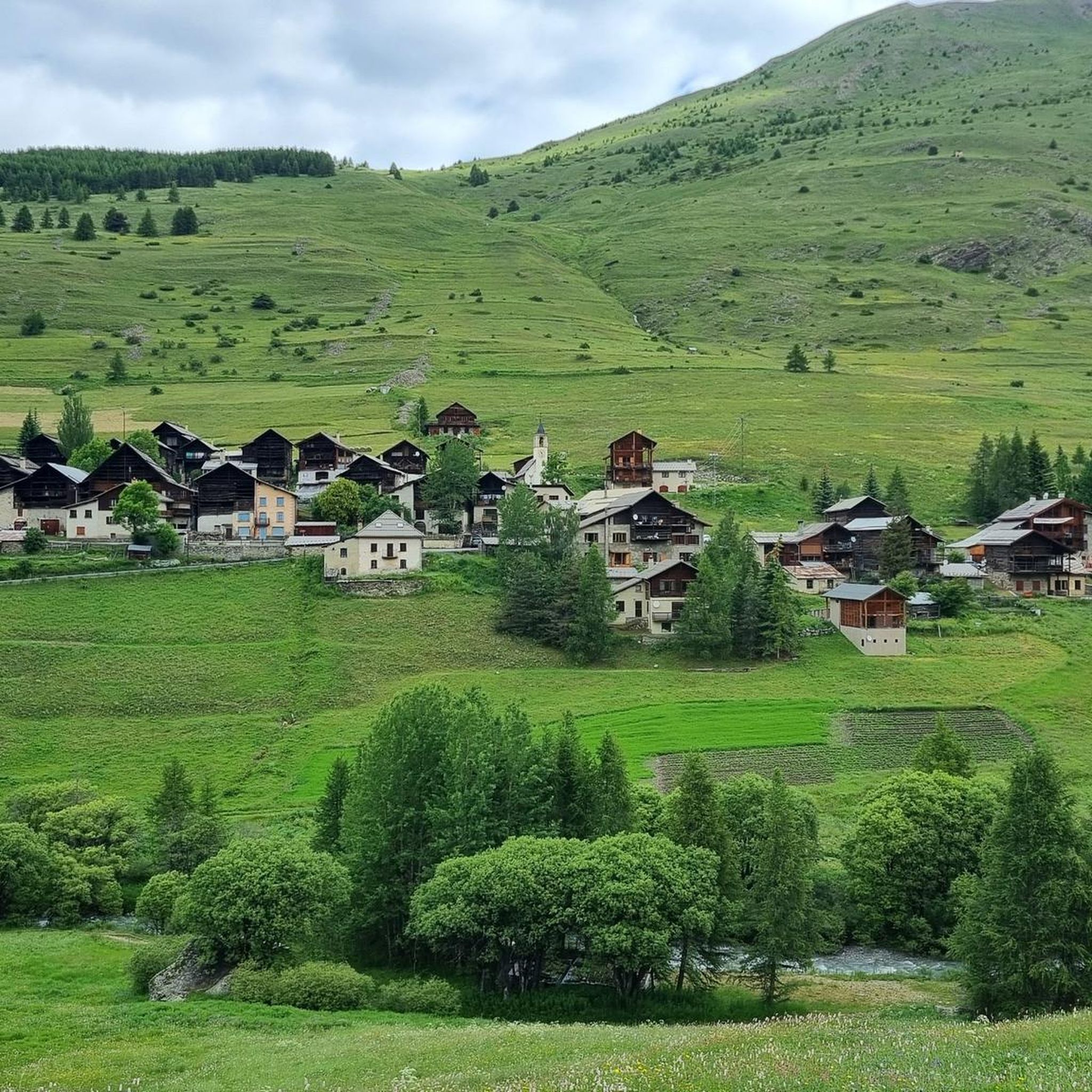
Hiking around Molines-En-Queyras
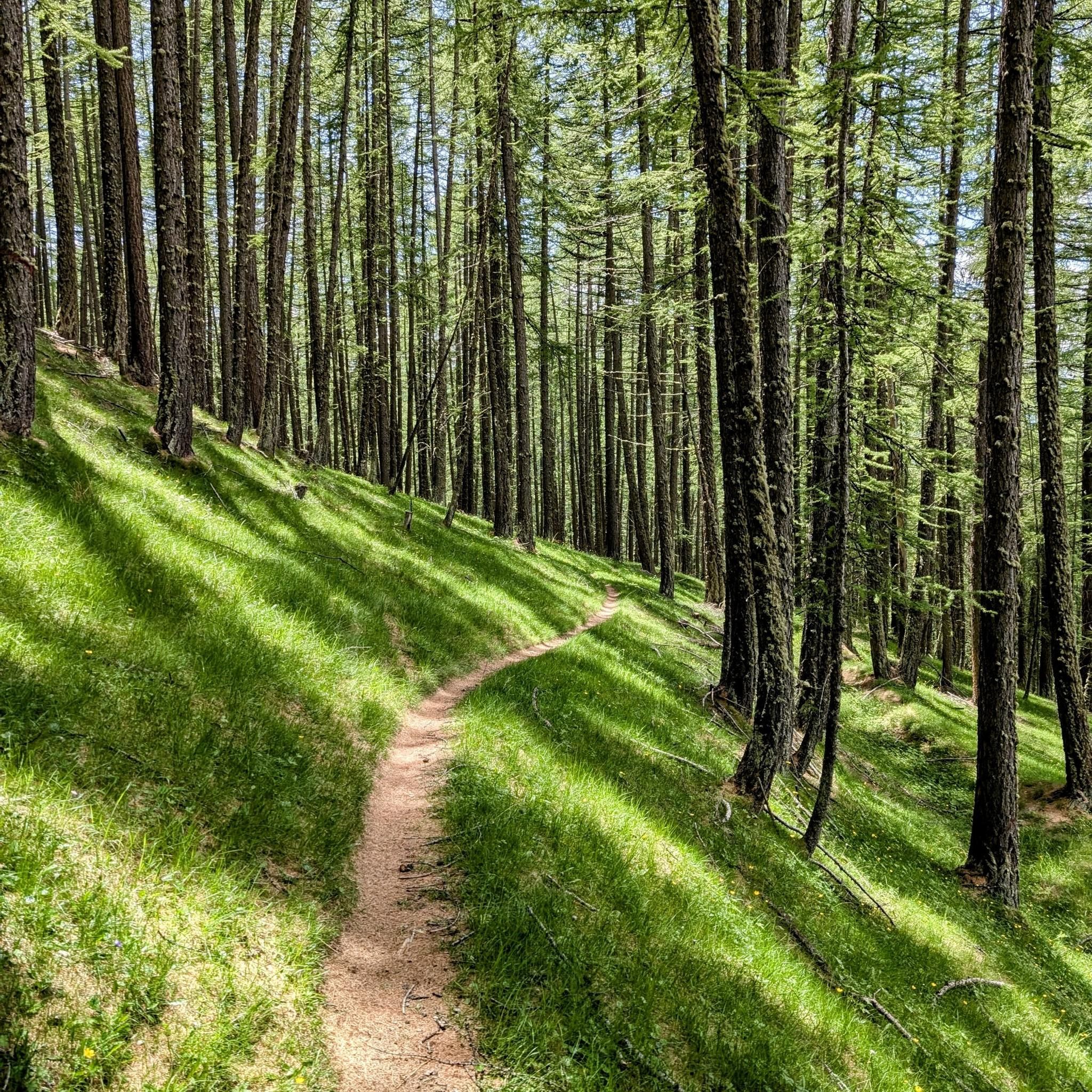
MTB Trails around Molines-En-Queyras

Road Cycling Routes around Molines-En-Queyras
Cycling around Molines-En-Queyras
Running Trails around Molines-En-Queyras
Gravel biking around Molines-En-Queyras
Other adventures around Molines-En-Queyras


Tips from the Community

Wonderful view very nice area.
16
0
This spot offers a unique view.
16
0
Point with a particular view of a rock face.
15
0

If you plan to cross the pass as part of an Alpine cross-country bike ride, it's essential to lift and carry your bike over large boulders and rocks. Simply pushing isn't enough. The exit is very steep. An alternative route would be via the Col Agnel road.
0
0

Done in two days it remains less demanding with an overnight stay at the Vallanta refuge
0
0

beautiful walk in a shaded valley. To do in summer when it's hot
0
0

Hike done over 2 days with a 5 year old child and night at the Furfande refuge. Very beautiful view from the pass.
0
0
Frequently Asked Questions
What are some historically significant mountain passes in the Molines-En-Queyras region?
The region is rich in historical passes. One notable example is the Tunnel de la Traversette (Buco di Viso), completed in 1480. This 75-meter long passage was the first Alpine tunnel, designed to transport goods without crossing the higher Traversette pass. Another is Col Lacroix, a historic trade route connecting Ristolas to Val Pellice in Italy.
Which mountain passes offer the best panoramic views around Molines-En-Queyras?
Many passes provide breathtaking vistas. Fromage Pass, at 2,301 meters, offers unobstructed views of the Cristillan valley. The Col de Furfande, at 2,500 meters, provides a panorama of the Dent du Ratier, Rochebrune, and Font Sancte. Additionally, Col des Prés Fromage is celebrated for its superb panoramic views over the entire Queyras region.
Are there challenging mountain passes for experienced hikers near Molines-En-Queyras?
Yes, for experienced hikers, Col de Chamoussière (2884m) is a demanding yet picturesque route that lies on the GR58 waymarked trail, also known as the Tour du Queyras. Col Albert (2844m) also offers a more remote and rugged experience for hikers, accessible via the Vallon d'Albert.
What cycling opportunities are available on the mountain passes in this area?
The region is a haven for cyclists. Col Agnel (Colle dell'Agnello) is famous for its challenging ascent and stunning alpine scenery, having featured in the Tour de France. For mountain biking, Col des Prés Fromage offers a challenging yet rewarding experience with scenic vistas. You can find various cycling routes, including difficult ones like the 'Molines-en-Queyras – Refuge Agnel loop', in our Cycling around Molines-En-Queyras guide.
What natural features can I expect to see when visiting the mountain passes?
The high-altitude environments of the Queyras Regional Natural Park feature unique alpine flora and fauna, pristine lakes, and dramatic rock formations. Passes like La Casse Déserte near Col de l'Izoard offer grandiose landscapes and unique views.
Are there any mountain passes that mark a border crossing?
Yes, Col Agnel (Colle dell'Agnello) forms a significant border crossing with Italy, offering a unique experience of traversing between two countries amidst stunning alpine scenery. The Vallanta Pass, at 2,811 meters, also marks the Franco-Italian border.
What do visitors appreciate most about the mountain passes around Molines-En-Queyras?
Visitors frequently praise the breathtaking panoramic views, the challenging yet rewarding routes for both cyclists and hikers, and the historical significance of many passes. The unique alpine environment and the sense of achievement after conquering a high-altitude pass are also highly valued.
What kind of running trails are available near the mountain passes?
The area offers a variety of running trails, often incorporating the passes. For example, you can find difficult routes like the 'Chapelle de Clausis – Saint-Véran loop' or the 'Refuge Agnel – Col Agnel / Colle dell'Agnello loop'. More options are detailed in our Running Trails around Molines-En-Queyras guide.
Which passes connect different valleys or towns in the region?
Several passes serve as important connectors. Col Garnier (2279 m) connects Arvieux to Guillestre, while Col des Ayes (2477 m) links Arvieux to Briançon. Col Girardin (2706 m) provides a route from Ceillac towards l'Ubaye and Barcelonnette.
What is the best time of year to visit the mountain passes around Molines-En-Queyras?
The best time to visit is typically during the late spring, summer, and early autumn months (June to September) when the passes are generally clear of snow and accessible. This period offers the most favorable weather for hiking, cycling, and enjoying the panoramic views, though conditions can vary at high altitudes.
Are there any passes that are part of longer trekking routes?
Yes, Col de Chamoussière (2884m) is notably situated on the GR58 waymarked trail, also known as the Tour du Queyras. This makes it a key point for trekkers undertaking multi-day hikes through the region.
Most popular routes around Molines-En-Queyras
Most popular attractions around Molines-En-Queyras

Get inspired with the komoot mobile app


Explore more
See even more epic mountain passes by checking out these guides around Molines-En-Queyras:
