The best walks and hikes around Laye
4.6
(768)
8,062
hikers
256
hikes
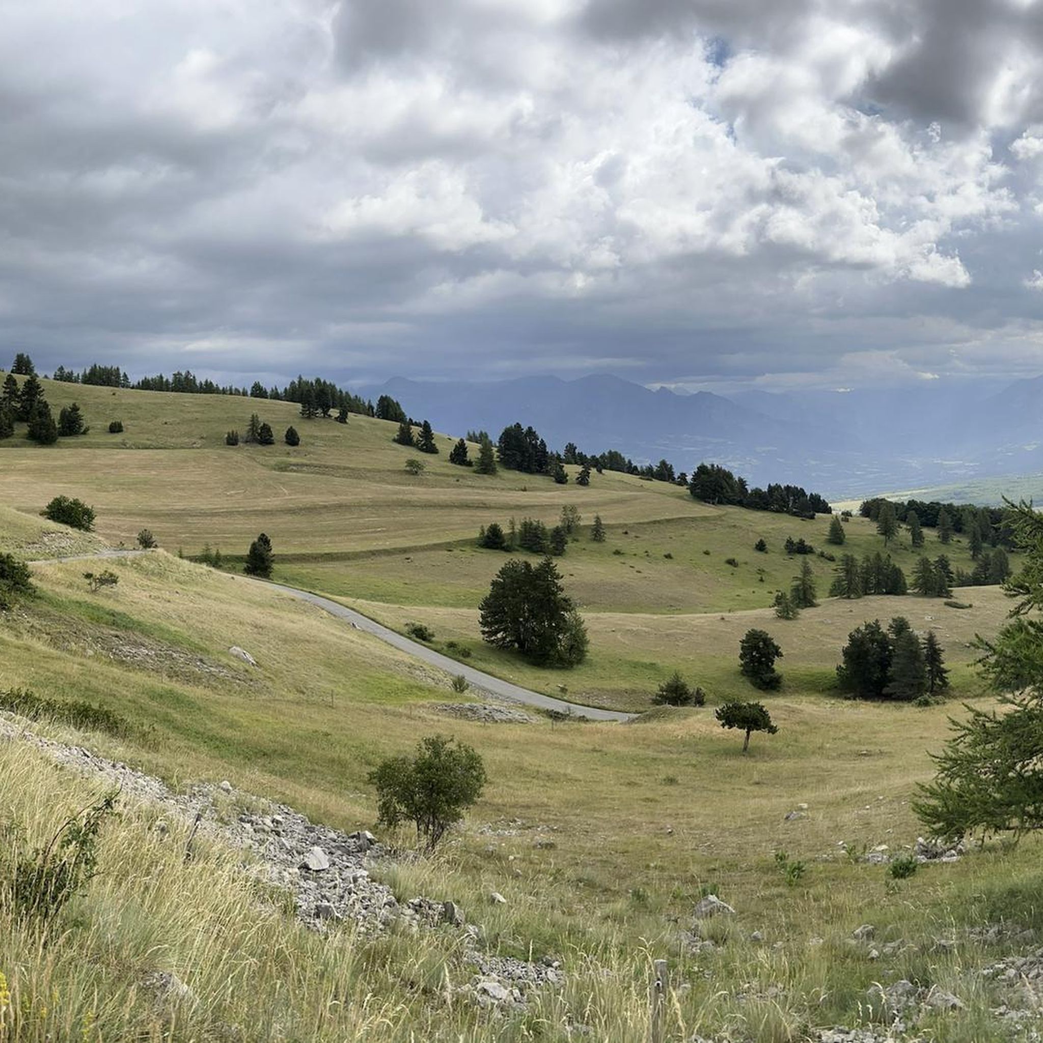
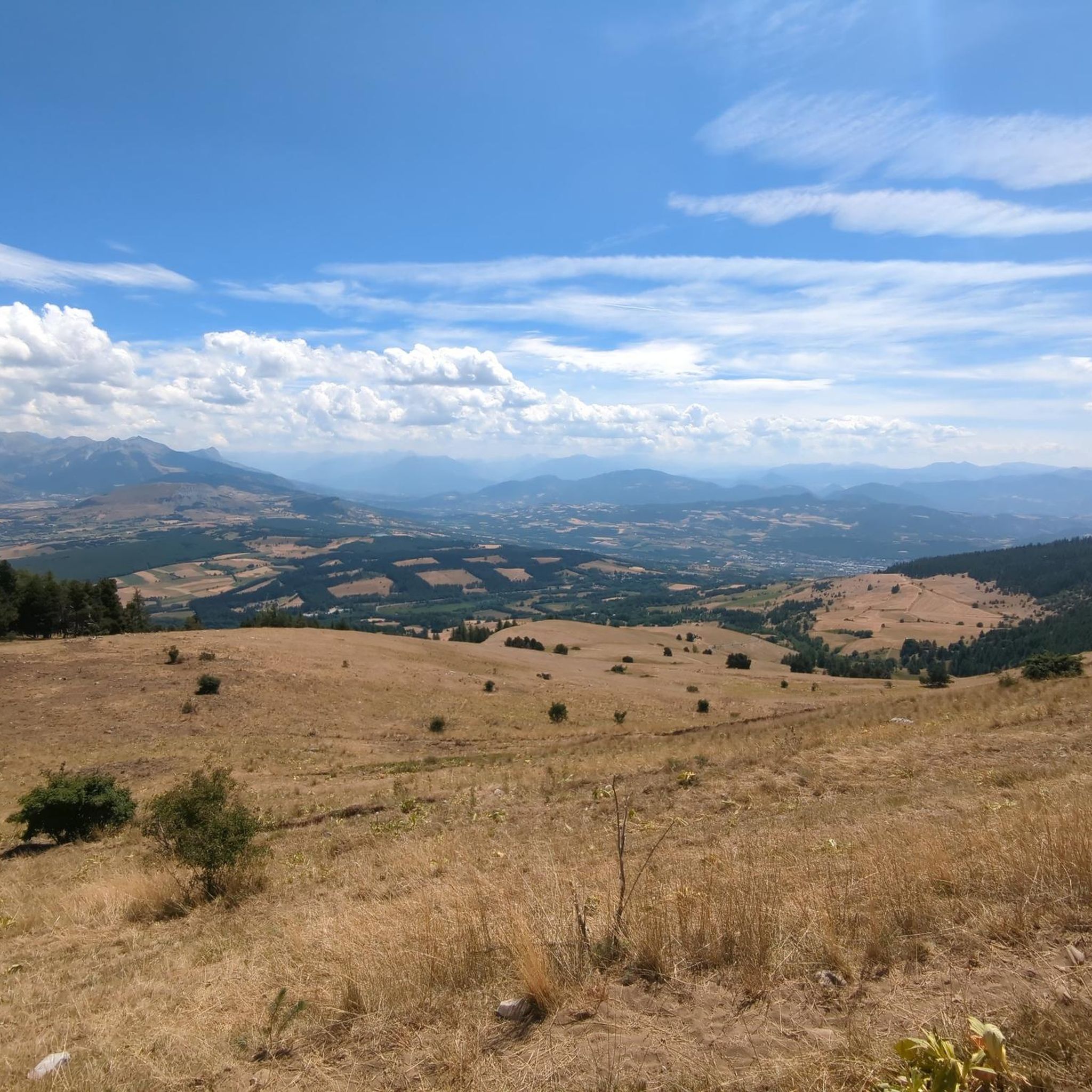
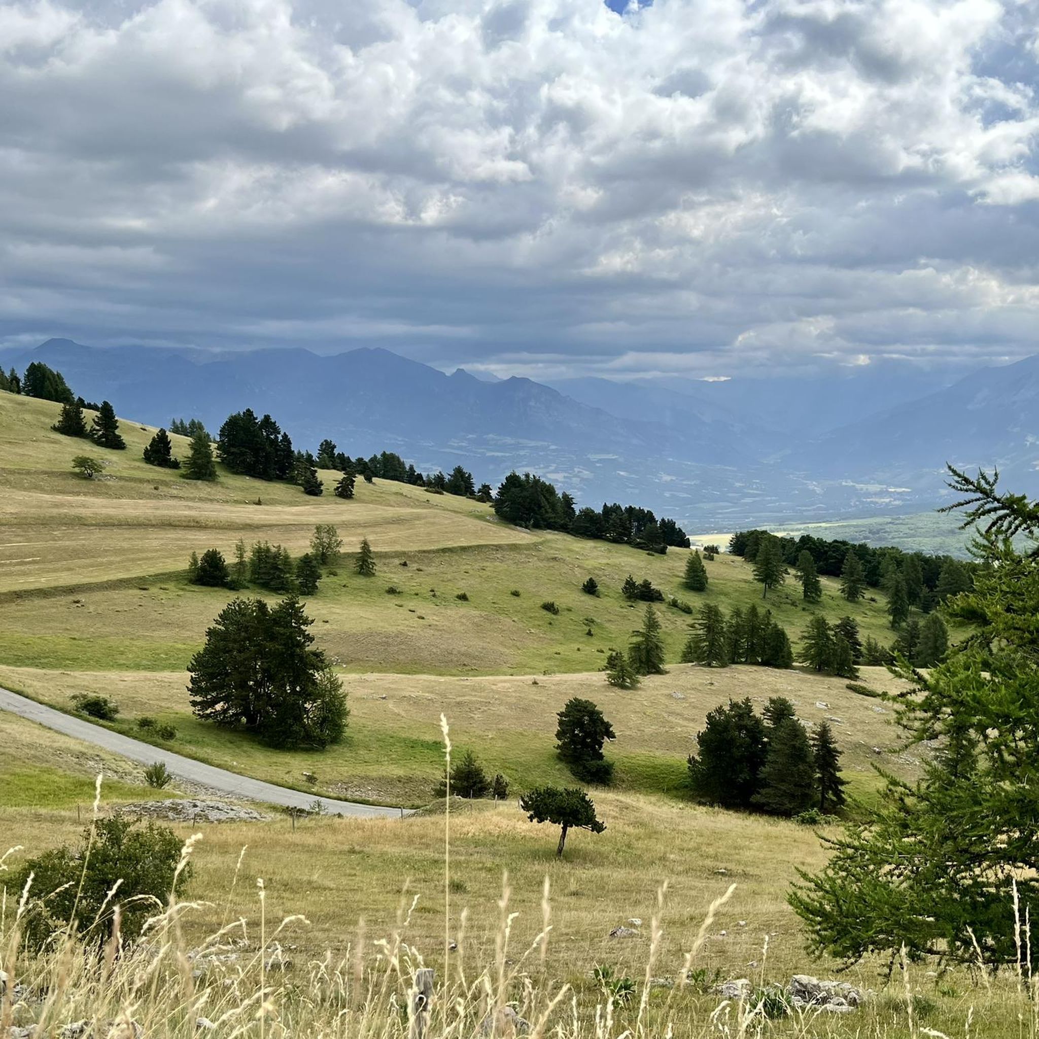
Hiking around Laye features mountainous terrain with notable peaks like Pic de Gleize and high mountain passes such as Col de Gleize. The landscape includes significant elevation changes, offering challenging ascents and panoramic views. Trails often traverse varied alpine environments, providing a diverse experience for hikers.
Best hiking trails around Laye
- The most popular hiking route is Ascent to the Pic de Gleize, a 3.5 miles (5.7 km) trail that takes 2 hours 11 minutes to complete. This moderate…
Last updated: July 1, 2026
4.8
(58)
449
hikers
5.67km
02:11
420m
420m
Moderate hike. Good fitness required. Easily-accessible paths. Suitable for all skill levels.
4.3
(3)
12
hikers
9.20km
03:39
620m
620m
Hard hike. Good fitness required. Sure-footedness, sturdy shoes and alpine experience required.

Sign up for free
4.2
(14)
139
hikers
9.48km
03:31
590m
590m
Hard hike. Good fitness required. Sure-footedness, sturdy shoes and alpine experience required.
4.6
(8)
45
hikers
13.4km
04:19
570m
570m
Moderate hike. Good fitness required. Mostly accessible paths. Sure-footedness required.
4.5
(2)
32
hikers
9.70km
03:01
370m
370m
Moderate hike. Good fitness required. Easily-accessible paths. Suitable for all skill levels.
Get access to more routes and recommendations from other explorers.
Sign up for free
Already have an account?
Our route recommendations are based on thousands of hikes, rides, and runs completed by other people on komoot.
Start today with a free account
Your next adventure awaits.
Login or Signup

Tips from the Community

It is not possible to continue past the peak of the needle without climbing equipment. Don't take the risk.
0
0
Some slightly tricky passages but doable by everyone
0
0

A good level of fitness is required, and walking sticks are not a luxury. Wind force four did not help. Beautiful views!
0
0

It is one of the highest bocages in Europe. These landscapes are typical in France, but this one is one of the best preserved. It has a superb network of beech hedges, crops, meadows and woods which attracts beautiful biodiversity and many birds.
0
0
The Col de Gleize car park is located next to a designated picnic area. It is the starting point for many hiking trails that intersect here.
0
0
Very pretty chapel in the middle of the forest
0
0

For a great picnic with a 360° view of breathtaking landscapes: meet at Pic Chaudun 🌟
0
0
Splendid view but very dangerous passage. We turned around...
0
0
Frequently Asked Questions
How many hiking trails are available around Laye?
There are over 240 hiking routes in the Laye region, catering to various skill levels. The komoot community has explored more than 7,300 of these routes, providing an average rating of 4.5 stars.
What is the general difficulty of hiking trails in Laye?
Hiking around Laye features mountainous terrain with significant elevation changes. While there are 73 easy routes, the majority are moderate (131 routes) or difficult (39 routes), offering challenging ascents and panoramic views. Trails often traverse varied alpine environments.
Are there any easy hiking options in Laye?
Yes, Laye offers 73 easy hiking routes. These trails are generally shorter and have less elevation gain, making them suitable for a more relaxed experience while still enjoying the mountainous scenery.
What kind of views or natural features can I expect on hikes in Laye?
Hikes in Laye are characterized by mountainous peaks, high cols, and varied alpine landscapes. You can expect panoramic views from summits like Pic de Gleize and high mountain passes such as Col de Gleize (1691 m) and Col du Noyer (1664 m).
Are there any circular hiking routes in Laye?
Yes, Laye offers several circular routes. For example, the difficult Gleize Peak – Col de Gleize (1691 m) loop from Col de Gleize is a 5.4-mile (8.8 km) trail through high mountain terrain. Another moderate option is the Col de Gleize (1691 m) – Col de Gleize parking loop from Col de Gleize, which covers 8.3 miles (13.4 km).
What are some notable landmarks or attractions near the hiking trails?
Beyond the stunning mountain scenery, you can explore several mountain passes like Col de Gleize (1691 m) and Col du Noyer (1664 m). Other points of interest include the Chemin de rondes and its cliffs, and the nearby town of Gap.
What do other hikers say about the trails in Laye?
The hiking routes in Laye are highly rated by the komoot community, with an average score of 4.5 stars from over 680 reviews. Hikers often praise the challenging ascents, the rewarding panoramic views from the peaks, and the diverse alpine environments.
Are there any long-distance hiking options in Laye?
While many routes are day hikes, some, like the difficult Pic de Gleize – Col de Gleize (1691 m) loop from Laye, cover nearly 6.1 miles (9.9 km) with significant elevation, offering a longer and more strenuous experience. The region's network of trails allows for combining routes for extended adventures.
What is the elevation gain like on Laye's hiking trails?
The elevation gain on Laye's trails can be substantial, reflecting its mountainous character. For instance, the difficult Pic de Gleize and pic de l'Aiguille loop involves over 620 meters (2,000 feet) of ascent, providing a challenging workout and rewarding views.
Can I find trails that combine multiple peaks in Laye?
Yes, some routes are designed to combine multiple peaks. A notable example is the difficult Pic de Gleize and pic de l'Aiguille loop, which offers extensive views and significant elevation gain by traversing two prominent peaks.
Are there any specific trails that lead to high mountain passes?
Many trails in Laye lead to or pass through high mountain passes. The Gleize Peak – Col de Gleize (1691 m) loop from Col de Gleize is a prime example, taking you through high mountain terrain and offering access to the Col de Gleize (1691 m).
Most popular attractions around Laye

Get inspired with the komoot mobile app


Explore more
Browse the best Hikes in other regions.
