The best running trails around Laye
4.4
(79)
5,779
runners
270
runs
Jogging around Laye offers diverse terrain for outdoor activities, situated in the Hautes-Alpes region of France. The area features a mix of mountain passes, valleys, and forested sections, providing varied running routes. Elevation changes are common, ranging from gentle inclines to more challenging climbs. The landscape is characterized by its natural features, making it suitable for different fitness levels.
Best jogging routes around Laye
- The most popular jogging route is Pic de Gleize loop from Col de Gleize, a…
Last updated: July 1, 2026
10
runners
9.81km
01:14
210m
210m
Moderate run. Good fitness required. Mostly paved surfaces. Suitable for all skill levels.
28
runners
5.77km
00:42
90m
90m
Moderate run. Good fitness required. Mostly paved surfaces. Suitable for all skill levels.

Sign up for free
4.0
(1)
26
runners
10.2km
01:06
120m
120m
Moderate run. Good fitness required. Mostly paved surfaces. Suitable for all skill levels.
15
runners
12.3km
01:47
530m
530m
Hard run. Very good fitness required. Mostly paved surfaces. Suitable for all skill levels.
10
runners
9.66km
01:15
320m
330m
Hard run. Very good fitness required. Mostly paved surfaces. Suitable for all skill levels.
Get access to more routes and recommendations from other explorers.
Sign up for free
Already have an account?
Our route recommendations are based on thousands of hikes, rides, and runs completed by other people on komoot.
Start today with a free account
Your next adventure awaits.
Login or Signup

Tips from the Community

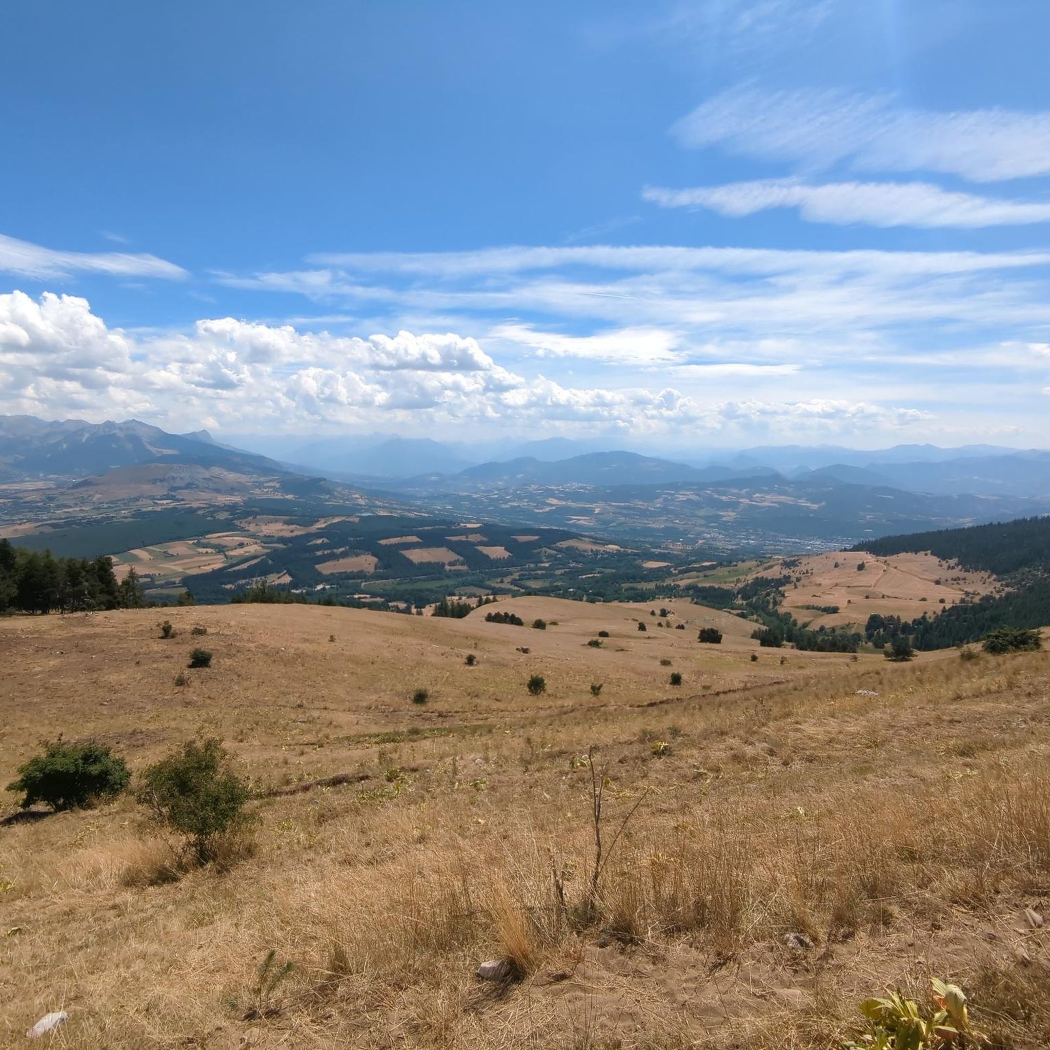
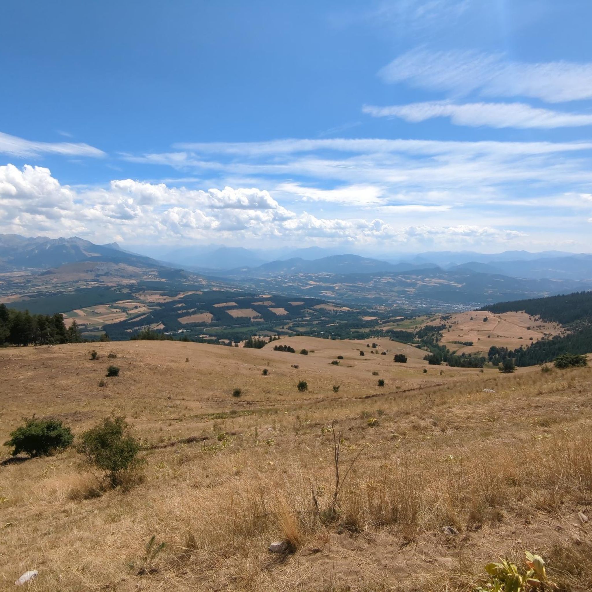
It is one of the highest bocages in Europe. These landscapes are typical in France, but this one is one of the best preserved. It has a superb network of beech hedges, crops, meadows and woods which attracts beautiful biodiversity and many birds.
0
0
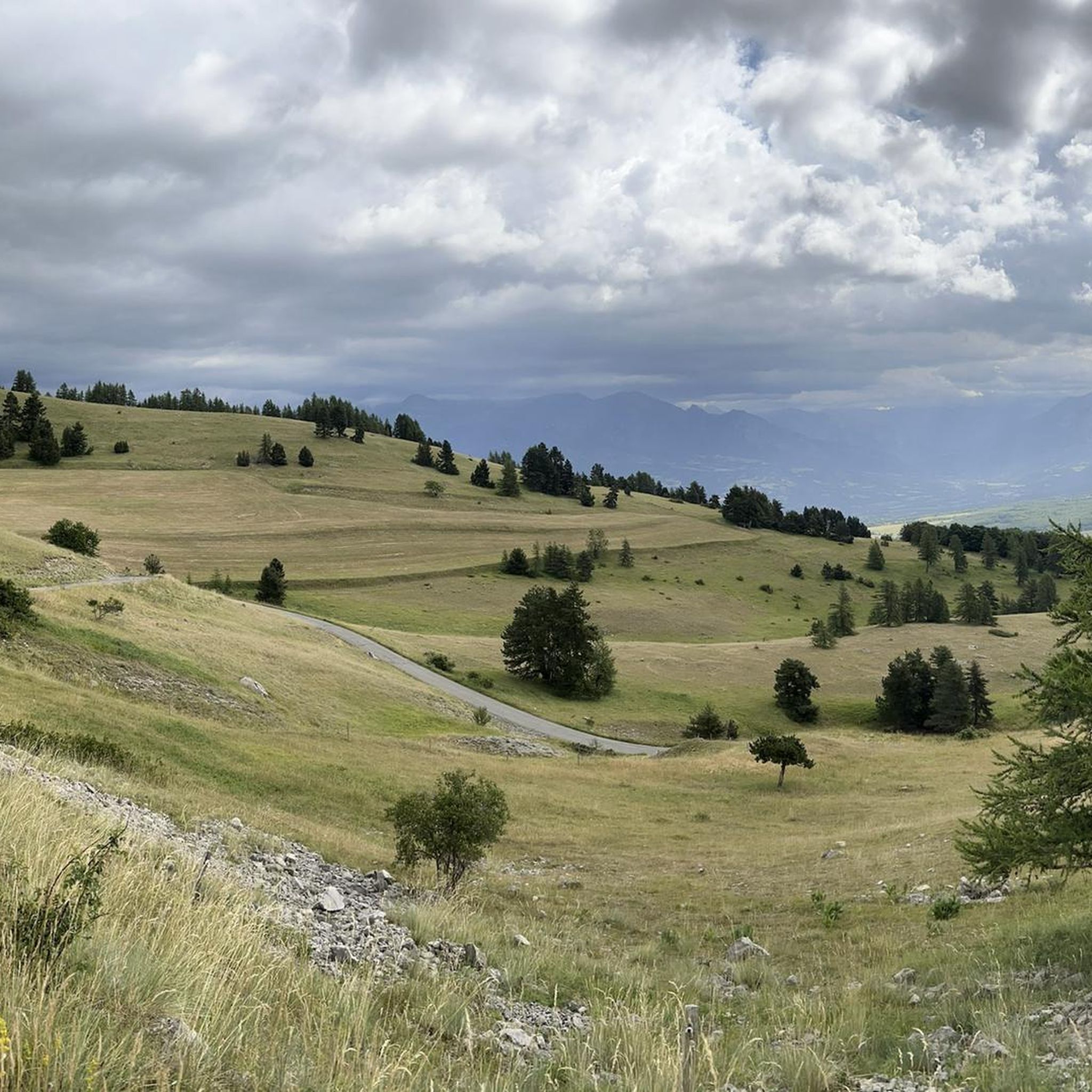
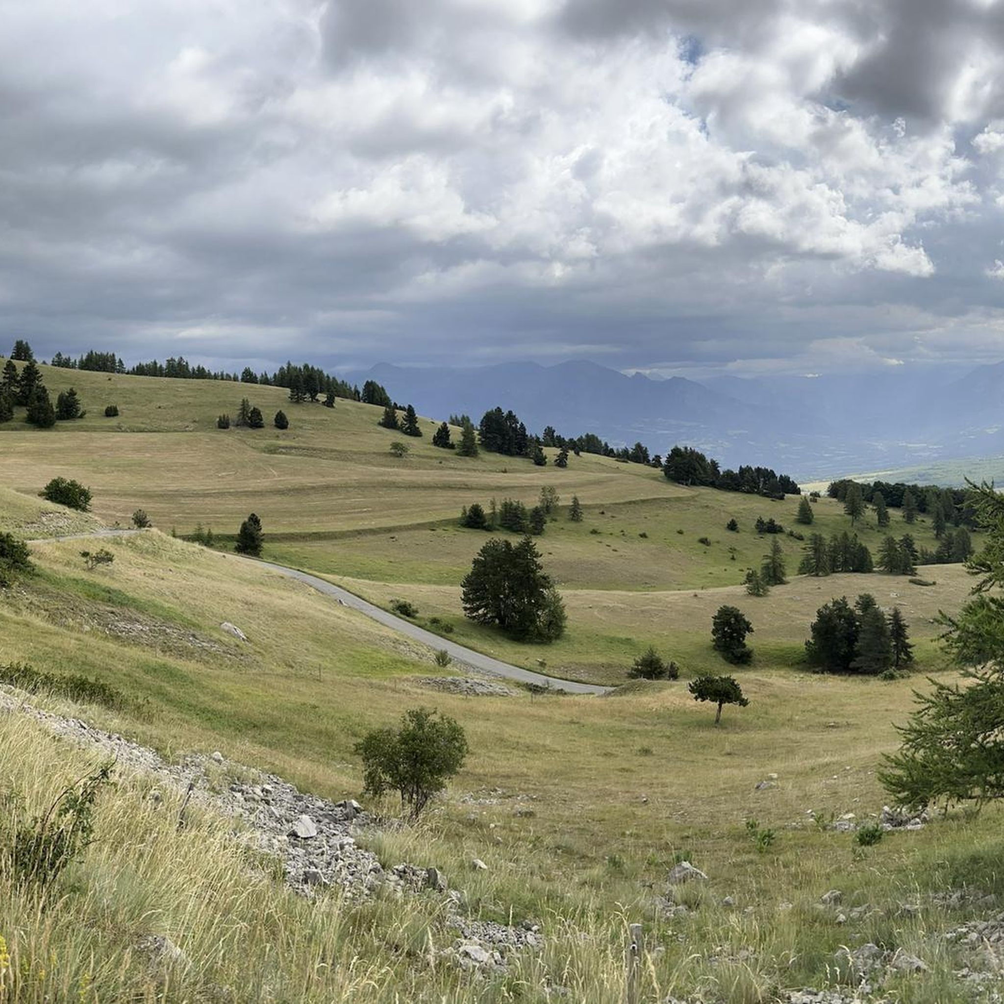
The Col de Gleize car park is located next to a designated picnic area. It is the starting point for many hiking trails that intersect here.
0
0

Saint-Bonnet-en-Champsaur, a charming village in the Hautes-Alpes, overlooks the Drac. It offers a peaceful setting with its varied accommodation, such as campsites and B&Bs, as well as several restaurants. Perfect for nature lovers, it is an ideal starting point for exploring the Écrins National Park.
0
0

It is accessible by car via a pretty narrow road and has parking as it is the starting point for many trails.
1
0

a haven of freshness along the canal
0
0

Nice little place above the Drac. Everything is available: campsite, guest houses, restaurants. Nice location. More information: https://de.wikipedia.org/wiki/Saint-Bonnet-en-Champsaur
1
0
Frequently Asked Questions
How many running routes are available in Laye?
Laye offers a wide variety of running routes, with nearly 300 options recorded on komoot. These routes cater to all fitness levels, ranging from easy jogs to challenging mountain runs.
What types of terrain can I expect on jogging routes around Laye?
The terrain around Laye is quite diverse, characterized by mountain passes, scenic valleys, and forested sections. You'll encounter routes with gentle inclines as well as more challenging climbs, reflecting its location in the Hautes-Alpes region.
Are there any easy jogging routes suitable for beginners in Laye?
Yes, Laye has several easy jogging routes. There are 18 routes specifically categorized as easy, perfect for beginners or those looking for a relaxed run. For a moderate option, consider the Running loop from Col Bayard, which offers varied terrain without extreme elevation.
Can I find circular running routes in Laye?
Absolutely. Many of the running routes in Laye are circular, allowing you to start and finish at the same point. Examples include the challenging Pic de Gleize loop from Col de Gleize or the moderate Réservoie des Manes – Départ du 9 loop from Laye.
What do other runners say about the trails in Laye?
The running routes in Laye are highly regarded by the komoot community, boasting an average rating of 4.5 stars from over 80 reviews. Runners frequently praise the varied terrain and the beautiful mountain scenery of the Hautes-Alpes.
Are there any long-distance or challenging running trails in Laye?
Yes, Laye is an excellent destination for challenging runs. There are 115 routes categorized as difficult. For instance, the Départ du 9 loop from Col Bayard is a demanding 20.9 km trail with significant elevation gain, ideal for experienced runners.
What natural features or landmarks can I see while jogging in Laye?
While jogging in Laye, you can encounter several notable natural features and landmarks. The region is known for its mountain passes like Col du Noyer (1664 m) and Col de Gleize (1691 m). You might also discover unique spots like Chemin de rondes and its cliffs, offering scenic views.
Are there running routes that offer significant elevation gain for mountain training?
Laye is situated in a mountainous region, making it ideal for elevation training. Many routes feature substantial climbs, such as the Col de Gleize parking – Col de Gleize (1691 m) loop from Laye, which includes over 500 meters of ascent over 11.1 km.
What is the typical length of running routes in Laye?
Running routes in Laye vary greatly in length. You can find shorter loops, like the 5.6 km Pic de Gleize loop from Col de Gleize, as well as much longer and more challenging trails extending over 20 km, catering to different preferences and training goals.
Are there any specific mountain passes that are popular for running in Laye?
Yes, mountain passes are a defining feature of running in Laye. Popular passes include Col du Noyer (1664 m), Col de Gleize (1691 m), and Col Bayard, which often serve as starting points or key features of many running loops.
How many moderate running trails are available in Laye?
For those seeking a balanced challenge, Laye offers a significant number of moderate running trails. There are 148 routes classified as moderate, providing a good mix of distance and elevation without being overly strenuous.
Most popular attractions around Laye

Get inspired with the komoot mobile app


Explore more
Browse the best Running Trails & Routes in other regions.
