The best running trails around Loubajac
4.4
(101)
5,971
runners
253
runs
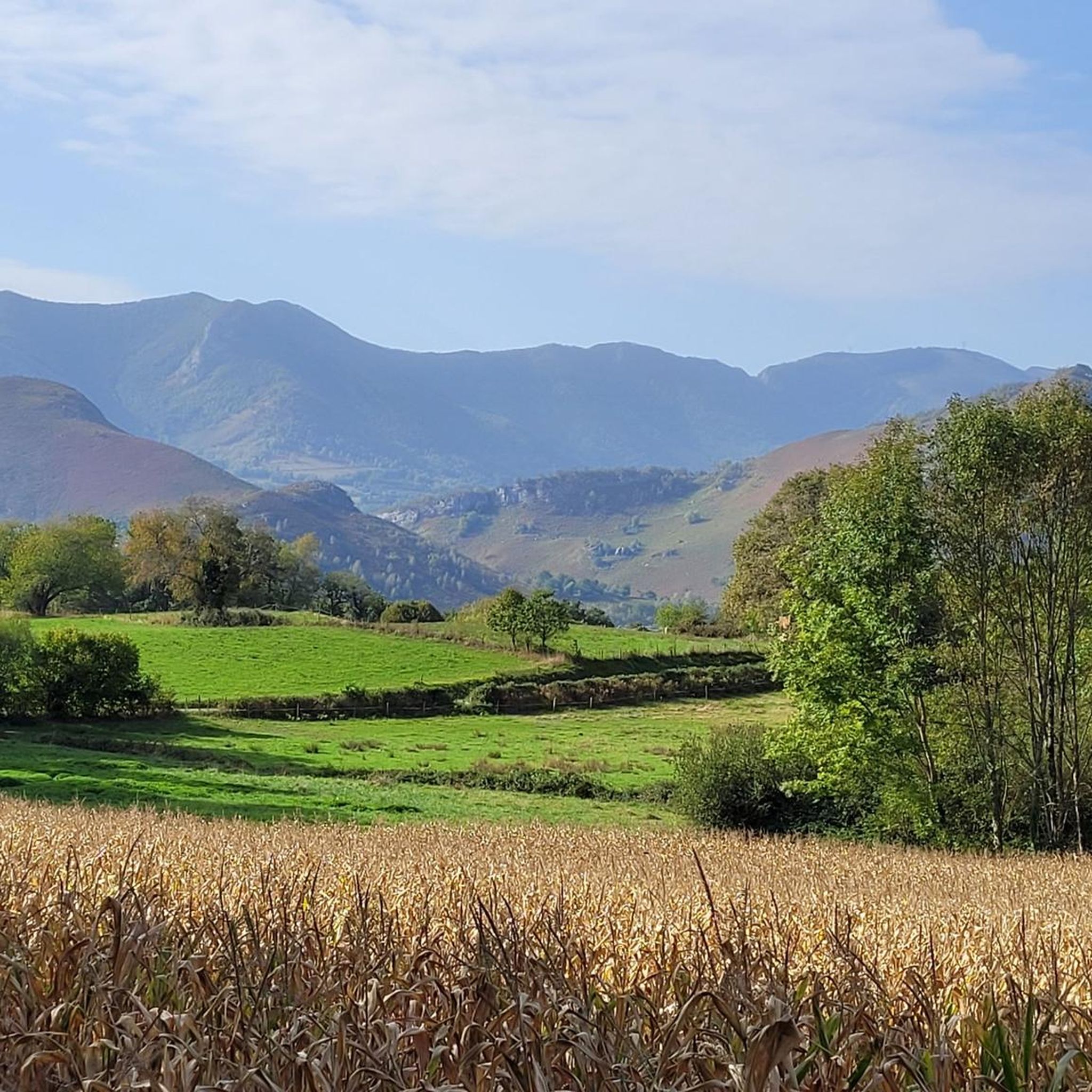
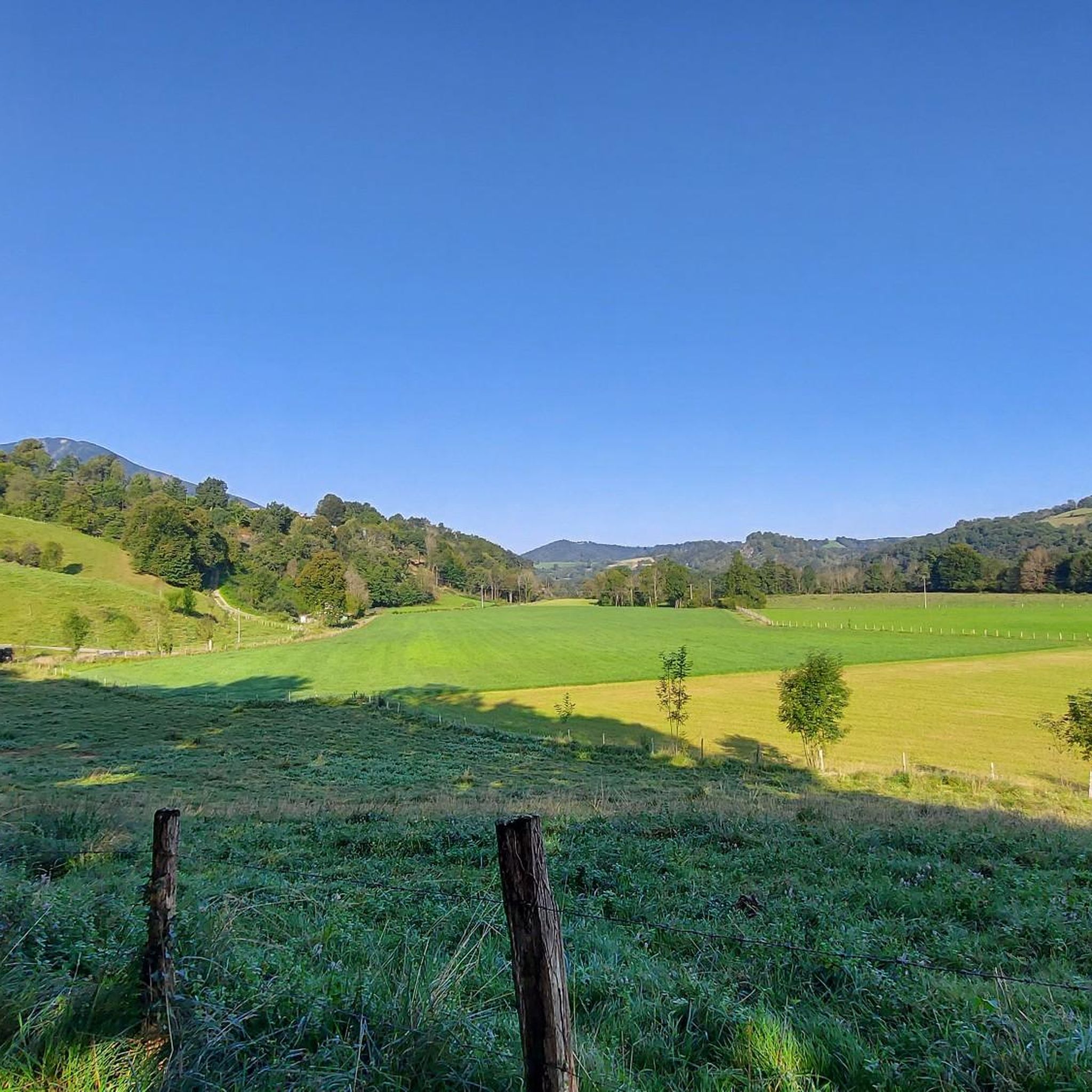
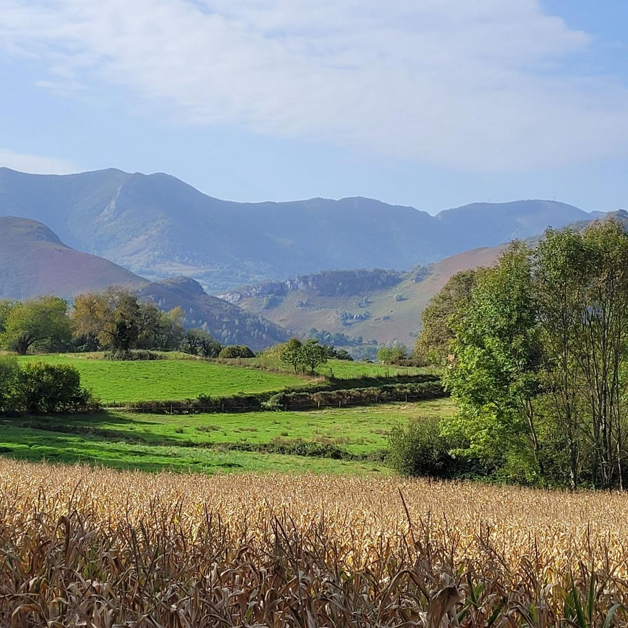
Jogging routes Loubajac offer diverse terrain, from gentle valley paths along the Ousse river to more challenging trails in the surrounding hills. The region is characterized by its proximity to the Pyrenees, providing varied landscapes including forests like Mourle and the communal forest. To the east, the foothills of the Plateau de Ger and the Lande de Bartrès present additional running opportunities. This natural setting provides an appealing environment for runners seeking both accessible and more strenuous routes.
Best jogging…
Last updated: October 21, 2026
30
runners
5.22km
00:33
40m
40m
Moderate run. Good fitness required. Mostly paved surfaces.
5.0
(1)
17
runners
21.1km
02:25
380m
380m
Hard run. Very good fitness required. Sure-footedness, sturdy shoes and alpine experience required.

10
runners
13.4km
01:27
200m
200m
Moderate run. Good fitness required. Mostly paved surfaces.
16
runners
7.41km
00:47
70m
70m
Moderate run. Good fitness required. Mostly paved surfaces.
6
runners
8.40km
00:54
150m
150m
Moderate run. Good fitness required. Mostly paved surfaces.
Get access to more routes and recommendations from other explorers.
Already have an account?
Our route recommendations are based on thousands of hikes, rides, and runs completed by other people on komoot.
Start today with a free account
Your next adventure awaits.

Tips from the Community

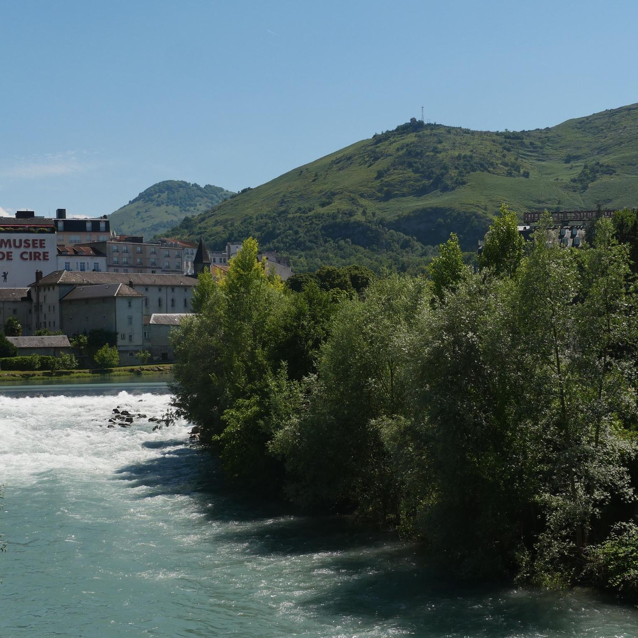
Here, you have both a beautiful panorama of Lake Lourdes as well as the mountains.
0
0
The Chemin Henri IV is located almost entirely on the route of an old Roman road, linking the city of Lourdes to that of Pau. The engineers of the time designed this route at a certain altitude, knowingly avoiding the marshy plain of Nay on the edge of the Gave de Pau. What geniuses these Romans!
1
0
Frequently Asked Questions
How many running routes are available around Loubajac?
Loubajac offers a wide selection of running opportunities, with over 250 routes recorded on komoot. These range from easy strolls to challenging long-distance runs, catering to various fitness levels.
What kind of terrain can I expect on jogging trails near Loubajac?
The jogging trails around Loubajac feature diverse terrain, from gentle valley paths along the Ousse river to more challenging ascents in the surrounding hills. You'll find routes traversing forests like Mourle, communal forests, and the foothills of the Plateau de Ger and Lande de Bartrès, all set against the backdrop of the Pyrenees.
Are there any easy jogging routes suitable for beginners in Loubajac?
Yes, Loubajac has several easy jogging routes perfect for beginners. There are 12 easy tours available, offering gentle paths and less demanding terrain to help you enjoy the scenery without excessive challenge.
Are there any circular running routes in the Loubajac area?
Many of the running routes around Loubajac are circular, allowing you to start and finish in the same location. A popular moderate option is the Tumulus de la Halliade loop from Bartrès, which is about 5.2 km long.
What are some notable landmarks or points of interest I can see while running near Loubajac?
While running near Loubajac, you can encounter several interesting landmarks. The Tumulus de la Halliade loop from Bartrès explores the area around a historic tumulus. For stunning views, consider routes that offer panoramas of Lake Lourdes or lead towards peaks like Pic du Jer or the Summit of Béout, which provide breathtaking vistas of Lourdes and the Pyrenees.
Are there any long-distance or challenging running routes in Loubajac?
Absolutely. For experienced runners seeking a challenge, the Chemin Henri IV loop from Loubajac is a difficult 21.1 km path with significant elevation gain. There are 97 difficult routes in total, offering strenuous options for those looking to push their limits.
What do other runners think about the trails in Loubajac?
The running trails in Loubajac are highly regarded by the komoot community, boasting an average rating of 4.5 stars from over 70 reviews. Runners often praise the varied terrain, from quiet woodlands to scenic viewpoints, and the well-maintained paths that make for an enjoyable experience.
Are there running routes that offer views of Lake Lourdes?
Yes, you can find routes that provide picturesque views of Lake Lourdes. The Panoramic view of Lake Lourdes loop from Poueyferré is a popular 8.4 km moderate trail that local runners love for its scenic viewpoints overlooking the glacial lake.
Can I find running paths along river valleys near Loubajac?
Yes, the region around Loubajac features serene river valleys. You can find gentle paths along the Ousse river, and the broader area near Lourdes offers accessible routes along the Gave de Pau Valley, which is a converted former railway line ideal for contemplative runs.
What are some of the natural features that make Loubajac a good place for jogging?
Loubajac's appeal for jogging stems from its location in the foothills of the Pyrenees. This provides access to diverse natural features including green mountains, forested slopes, serene glacial lakes, and picturesque river valleys. The varied landscapes offer a beautiful backdrop for any run.
Are there any other popular running routes besides the ones mentioned in the guide's introduction?
Beyond the most popular routes, another well-liked option is the Tumulus de la Halliade loop from Barlest, a moderate 13.3 km trail. For a slightly shorter moderate run, consider the Pouey Mayou loop from Bartrès, which is about 7.4 km.
Most popular attractions around Loubajac

Get inspired with the komoot mobile app


Explore more
Browse the best Running Trails & Routes in other regions.
