The best road cycling routes around Sault-Brénaz
4.6
(181)
3,531
riders
156
rides
Road cycling routes around Sault-Brénaz are characterized by varied terrain, including ascents to mountain passes and routes along the Rhône river. The region offers a mix of challenging climbs and more gentle paths through river valleys and rolling hills. Road cyclists can expect diverse landscapes, from open countryside to areas with significant elevation changes.
Best road cycling routes around Sault-Brénaz
- The most popular road cycling route is View of the Saut du Rhône – La Balme Caves loop from La Source, a 34.7 miles (55.8 km) trail that takes 2 hours 14 minutes to complete. This moderate route offers views of the Rhône river.
- Another top favourite among local road cyclists is Montée vers le col de Portes – Montagnieu loop from Porcieu - Pont de Sault-Brénaz, a moderate 41.5 miles (66.8 km) path. This route features ascents towards mountain passes.
- Local road cyclists also love the Portes Pass – Col de Fay loop from Porcieu - Pont de Sault-Brénaz, a 42.8 miles (68.9 km) trail leading through challenging climbs and passes, often completed in about 3 hours 59 minutes.
- Road cycling around Sault-Brénaz is defined by river valleys, ascents to mountain passes, and rolling hills. The network offers options for easy, moderate, and difficult ability levels.
- The routes in Sault-Brénaz are highly rated by the komoot community with an average score of 4.5 stars from over 130 reviews. Nearly 3,000 road cyclists have used komoot to explore Sault-Brénaz's varied terrain.
Last updated: July 17, 2026
5.0
(1)
42
riders
70.6km
03:40
1,270m
1,270m
Hard road ride. Very good fitness required. Mostly well-paved surfaces and easy to ride.
47
riders
Moderate road ride. Good fitness required. Mostly well-paved surfaces and easy to ride.

Sign up for free
21
riders
133km
07:53
3,340m
3,340m
Hard road ride. Very good fitness required. Mostly well-paved surfaces and easy to ride.
9
riders
Moderate road ride. Good fitness required. Some segments of this route may be unpaved and difficult to ride.
8
riders
90.0km
04:49
1,720m
1,720m
Hard road ride. Very good fitness required. Mostly well-paved surfaces and easy to ride.
Get access to more routes and recommendations from other explorers.
Sign up for free
Already have an account?
Our route recommendations are based on thousands of hikes, rides, and runs completed by other people on komoot.
Start today with a free account
Your next adventure awaits.
Login or Signup
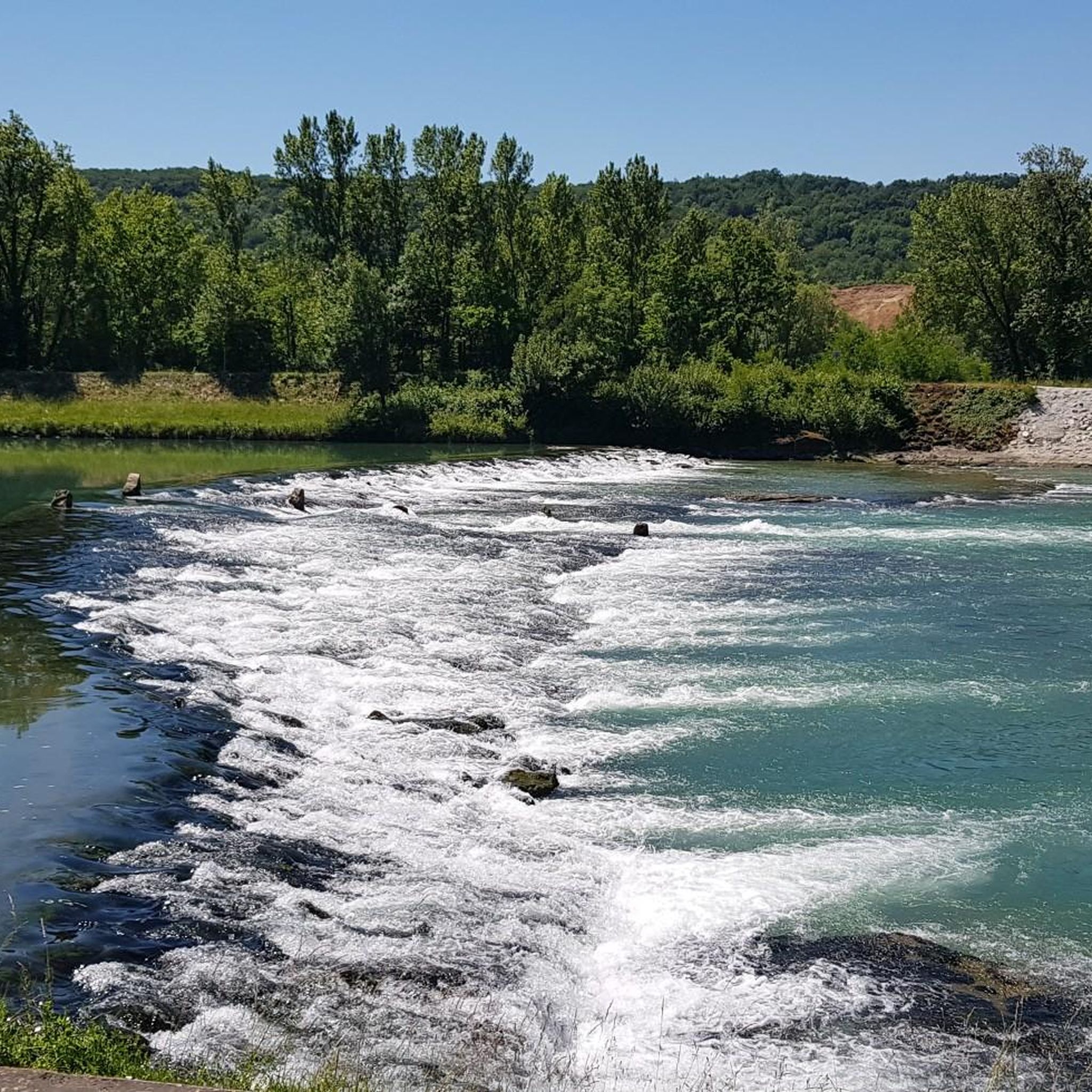
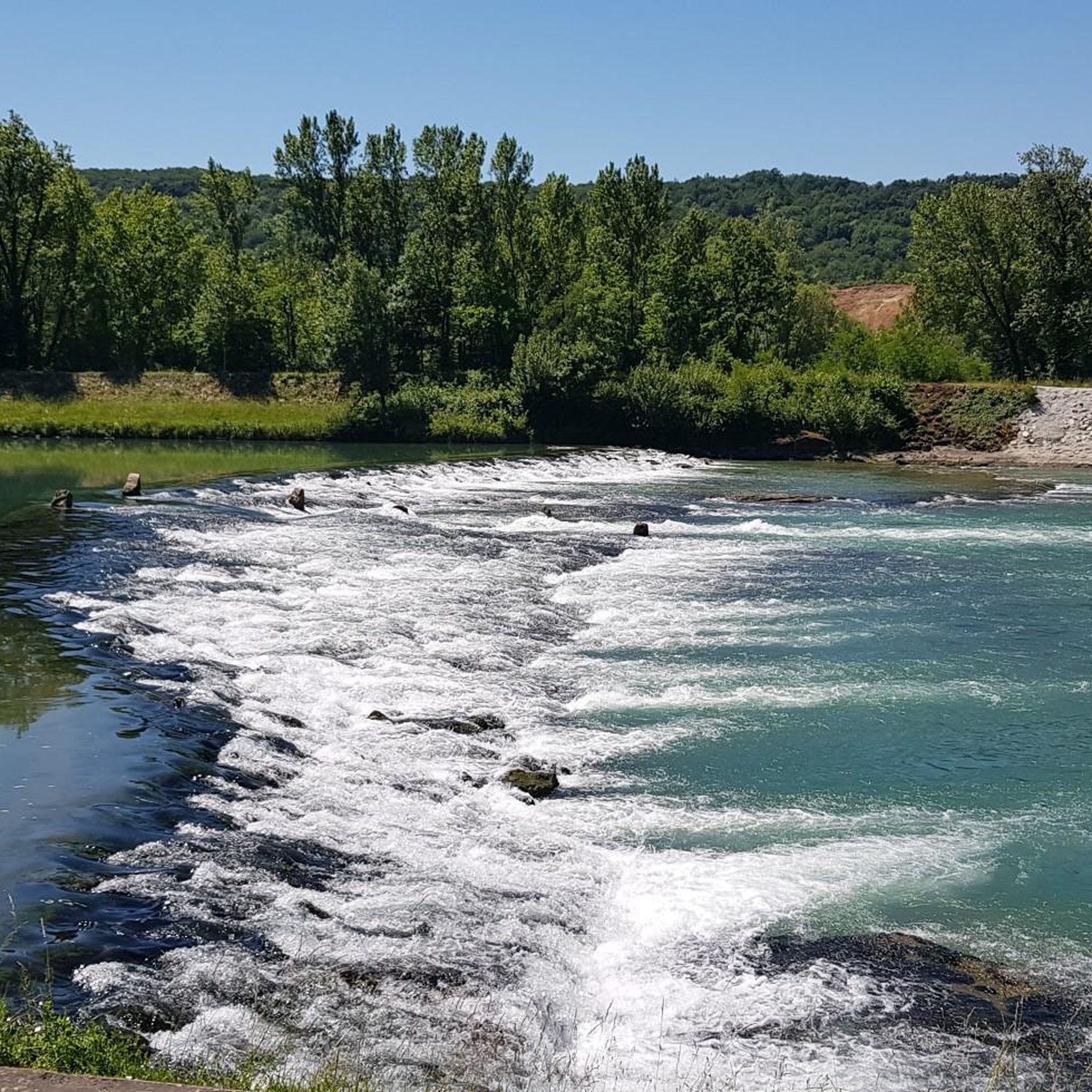
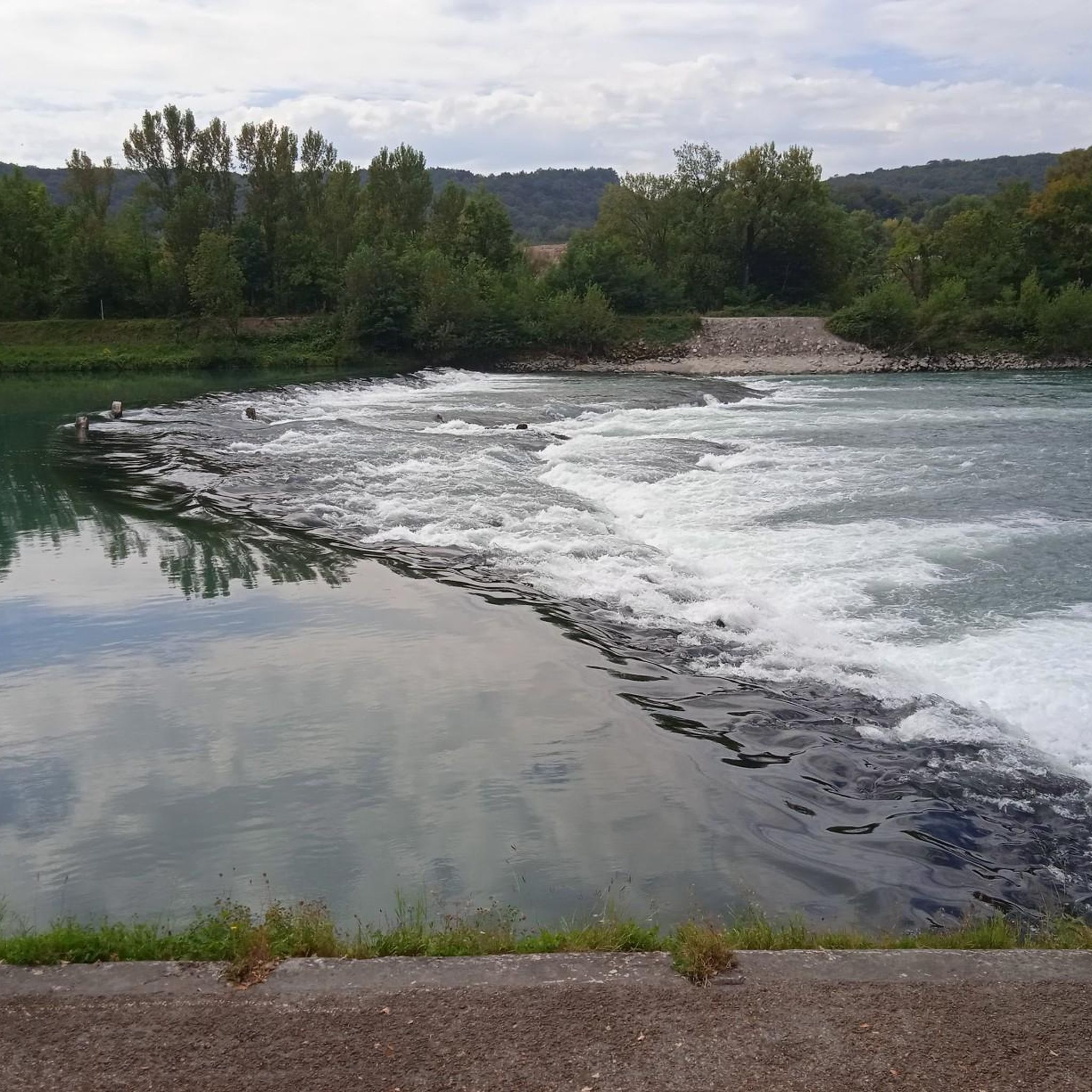
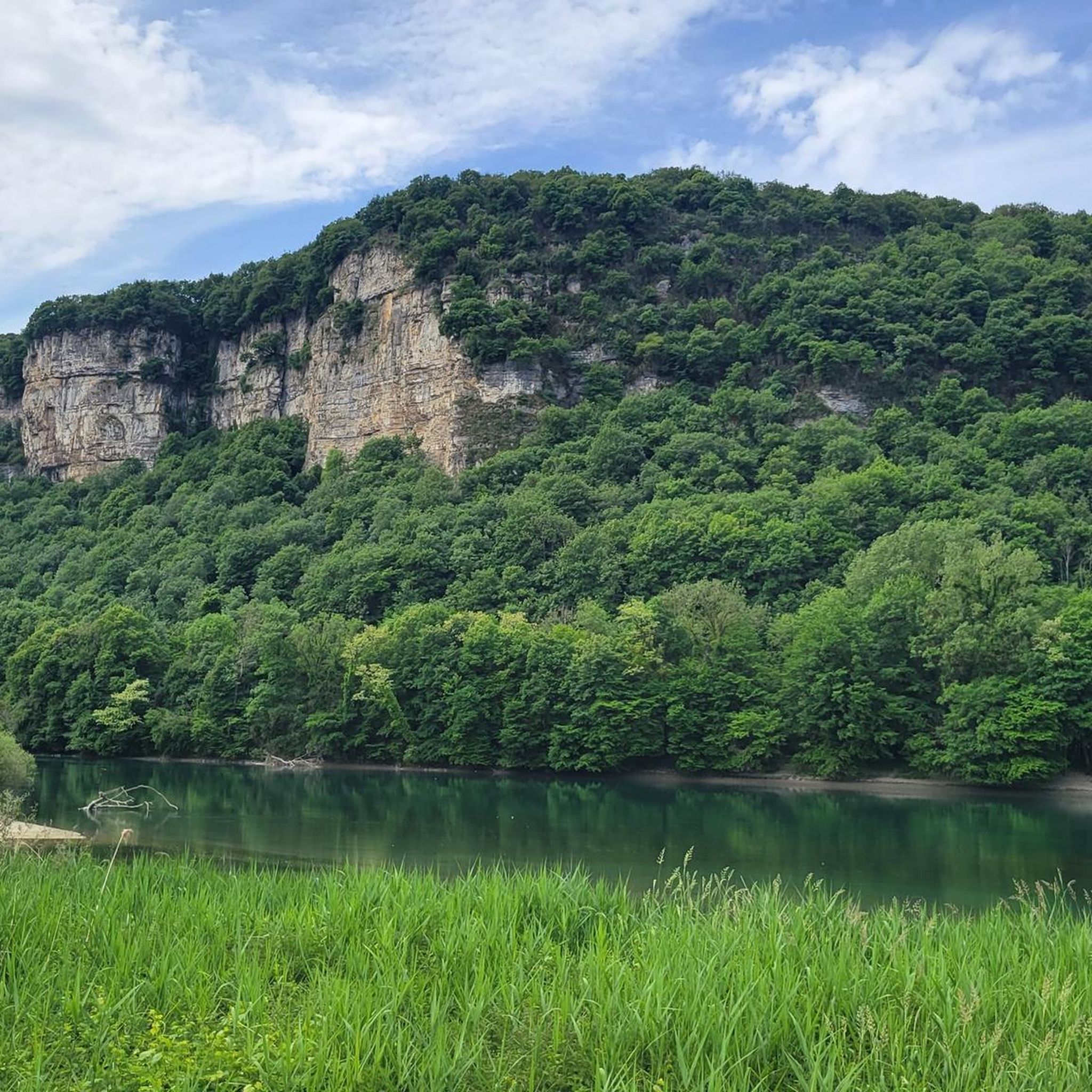
Tips from the Community

cycle path very busy in good weather
0
0

Wow, what a beautiful waterfall! 🤩🤩
1
0

Beautiful and very wild without cars
0
0


A short climb that allows you to switch between the two villages, on one side the Albarine Green Way, on the other the start of the climb towards the Col de Porte!
1
0
All the information you need about the upcoming climb: length, average gradient, etc. A great initiative from the Ain Department.
1
0
Belvedere with an impressive panorama that is worth the stop during the climb.
1
0
Frequently Asked Questions
How many road cycling routes are available around Sault-Brénaz?
There are over 130 road cycling routes around Sault-Brénaz, offering a wide range of options for different skill levels and preferences. This includes 24 easy routes, 88 moderate routes, and 21 difficult routes.
What kind of terrain can I expect on road cycling routes in Sault-Brénaz?
Road cycling routes in Sault-Brénaz feature varied terrain, from challenging ascents to mountain passes to more gentle paths along the Rhône river. You'll encounter diverse landscapes, including open countryside, river valleys, and rolling hills.
Are there any beginner-friendly road cycling routes in Sault-Brénaz?
Yes, Sault-Brénaz offers 24 easy road cycling routes suitable for beginners. These routes typically feature less elevation gain and shorter distances, allowing new cyclists to enjoy the scenic beauty of the region at a comfortable pace.
Where can I find challenging road cycling routes with significant climbs?
For experienced cyclists seeking a challenge, Sault-Brénaz has 21 difficult routes with significant elevation changes. An example is the Portes Pass – Col de Fay loop from Porcieu - Pont de Sault-Brénaz, which features over 1,600 meters of ascent.
What are some scenic viewpoints or landmarks to see along the road cycling routes?
Many routes offer scenic views and pass by interesting landmarks. You can explore routes that take you past natural wonders like La Balme Caves or picturesque lakes such as Lac Bleu on the Gardon. Some routes also offer views of historical sites like Vertrieu castle.
Are there any road cycling routes that follow the Rhône river?
Yes, several routes in Sault-Brénaz offer picturesque sections along the Rhône river. The View of the Saut du Rhône – La Balme Caves loop from La Source is a moderate route that provides excellent views of the river.
What do other road cyclists say about the routes in Sault-Brénaz?
The road cycling routes in Sault-Brénaz are highly rated by the komoot community, with an average score of 4.5 stars from over 130 reviews. Cyclists often praise the varied terrain, the beautiful river views, and the challenging climbs available in the region.
Can I find long-distance road cycling routes in the Sault-Brénaz area?
Yes, for those looking for longer rides, Sault-Brénaz offers several extended routes. The Bosse de Vaux-Bettand – Vaux-en-Bugey loop from La Source is a challenging option spanning nearly 130 kilometers with significant elevation gain.
Are there any road cycling routes that include mountain passes?
Absolutely. The region is known for its ascents to mountain passes. The Montée vers le col de Portes – Montagnieu loop from Porcieu - Pont de Sault-Brénaz is a moderate route that features ascents towards mountain passes, providing a rewarding cycling experience.
What is the best time of year for road cycling in Sault-Brénaz?
While specific conditions vary, the region's varied terrain, including river valleys and rolling hills, generally makes it enjoyable for road cycling from spring through autumn. Summer offers warm conditions, ideal for exploring the open countryside and river routes.
Are there any circular road cycling routes available?
Many of the routes around Sault-Brénaz are designed as loops, allowing you to start and end at the same point. Examples include the View of the Saut du Rhône – La Balme Caves loop from La Source and the Vaux-en-Bugey – Bosse de Vaux-Bettand loop from Porcieu - Pont de Sault-Brénaz.
Most popular routes around Sault-Brénaz
Most popular attractions around Sault-Brénaz

Get inspired with the komoot mobile app


Explore more
Browse the best Road cycling routes in other regions.
