The best cycling routes around Sault-Brénaz
4.2
(352)
2,961
riders
169
rides
Touring cycling routes around Sault-Brénaz are primarily defined by the Rhône River and its extensive ViaRhôna cycling itinerary. The region features dedicated greenways and riverside paths, offering a relaxed and scenic experience alongside the water. Beyond the flat riverbanks, the surrounding area includes varied terrain with hills and forests, providing diverse options for cyclists.
Best touring cycling routes around Sault-Brénaz
- The most popular touring cycling route is Sault-Brénaz Dam – Whitewater course loop from La Source, a 36.4 miles (58.6 km) trail that takes 4 hours 2 minutes to complete. This difficult route explores the dynamic landscape around the Sault-Brénaz dam.
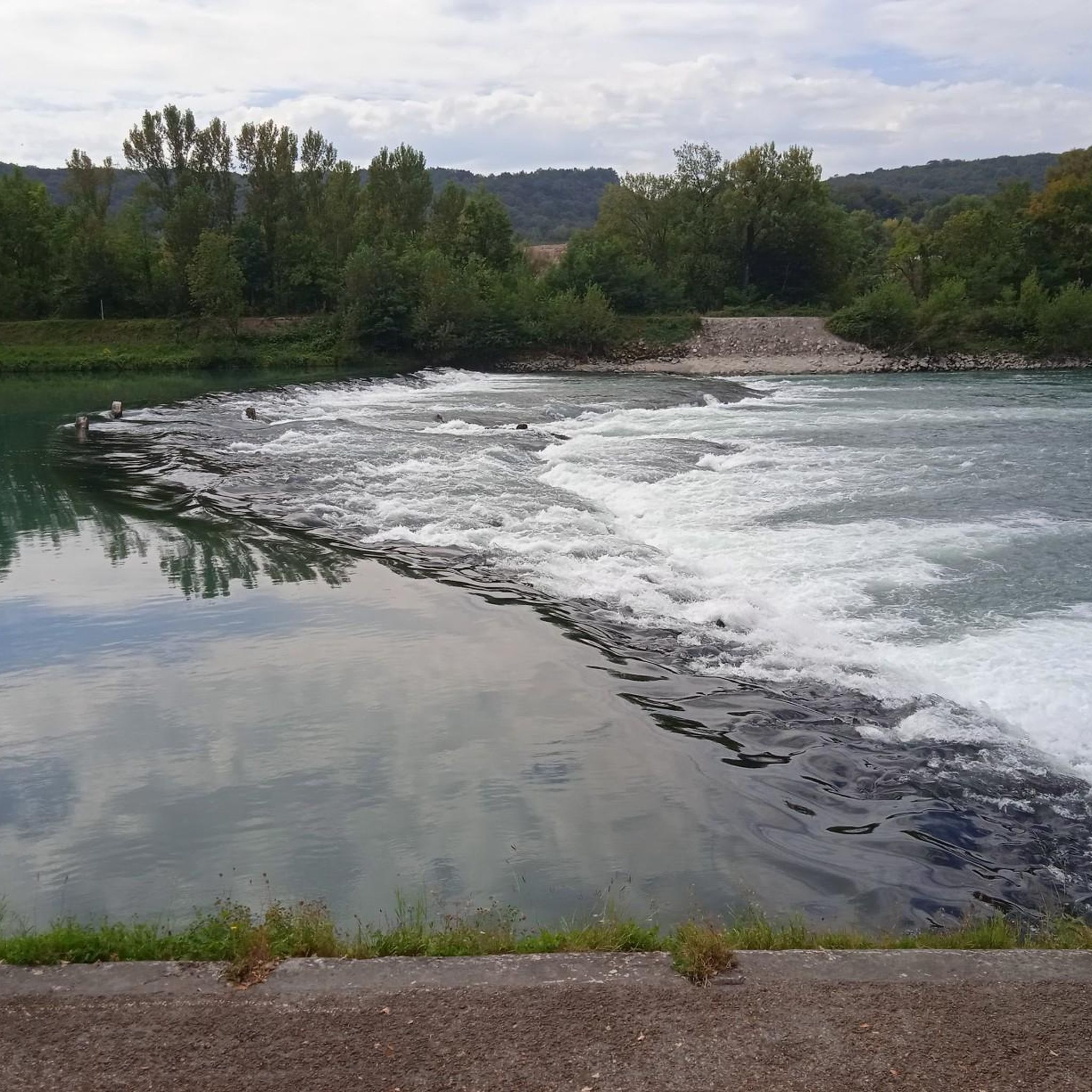
- Another top favourite among local touring cyclists is View of the Saut du Rhône loop from Sault-Brénaz, an easy 7.5 miles (12.0 km) path. This route offers views of the Rhône River's unique features.
- Local touring cyclists also love the View of the Saut du Rhône – View of Vertrieu castle loop from Vertrieu, a 28.6 miles (46.0 km) trail leading through riverside landscapes, often completed in about 2 hours 50 minutes.
- Touring cycling around Sault-Brénaz is defined by the Rhône River, dedicated greenways, and varied terrain including hills. The network offers options for different ability levels, from leisurely riverside rides to more challenging routes.
- The routes in Sault-Brénaz are highly rated by the komoot community with an average score of 4.3 stars from over 350 reviews. More than 2800 touring cyclists have used komoot to explore Sault-Brénaz's varied terrain.
Last updated: June 28, 2026
5.0
(2)
34
riders
58.6km
04:02
1,060m
1,060m
Hard bike ride. Very good fitness required. Mostly paved surfaces. Suitable for all skill levels.
4.5
(4)
27
riders
Hard bike ride. Very good fitness required. Mostly paved surfaces. Suitable for all skill levels.

Sign up for free
4.0
(3)
20
riders
Moderate bike ride. Good fitness required. Mostly paved surfaces. Suitable for all skill levels.
5.0
(1)
21
riders
38.1km
02:27
480m
480m
Hard bike ride. Very good fitness required. Mostly paved surfaces. Suitable for all skill levels.
4.5
(4)
43
riders
11.8km
00:42
40m
40m
Easy bike ride. Great for any fitness level. Mostly paved surfaces. Suitable for all skill levels.
Get access to more routes and recommendations from other explorers.
Sign up for free
Already have an account?
Our route recommendations are based on thousands of hikes, rides, and runs completed by other people on komoot.
Start today with a free account
Your next adventure awaits.
Login or Signup
Tips from the Community

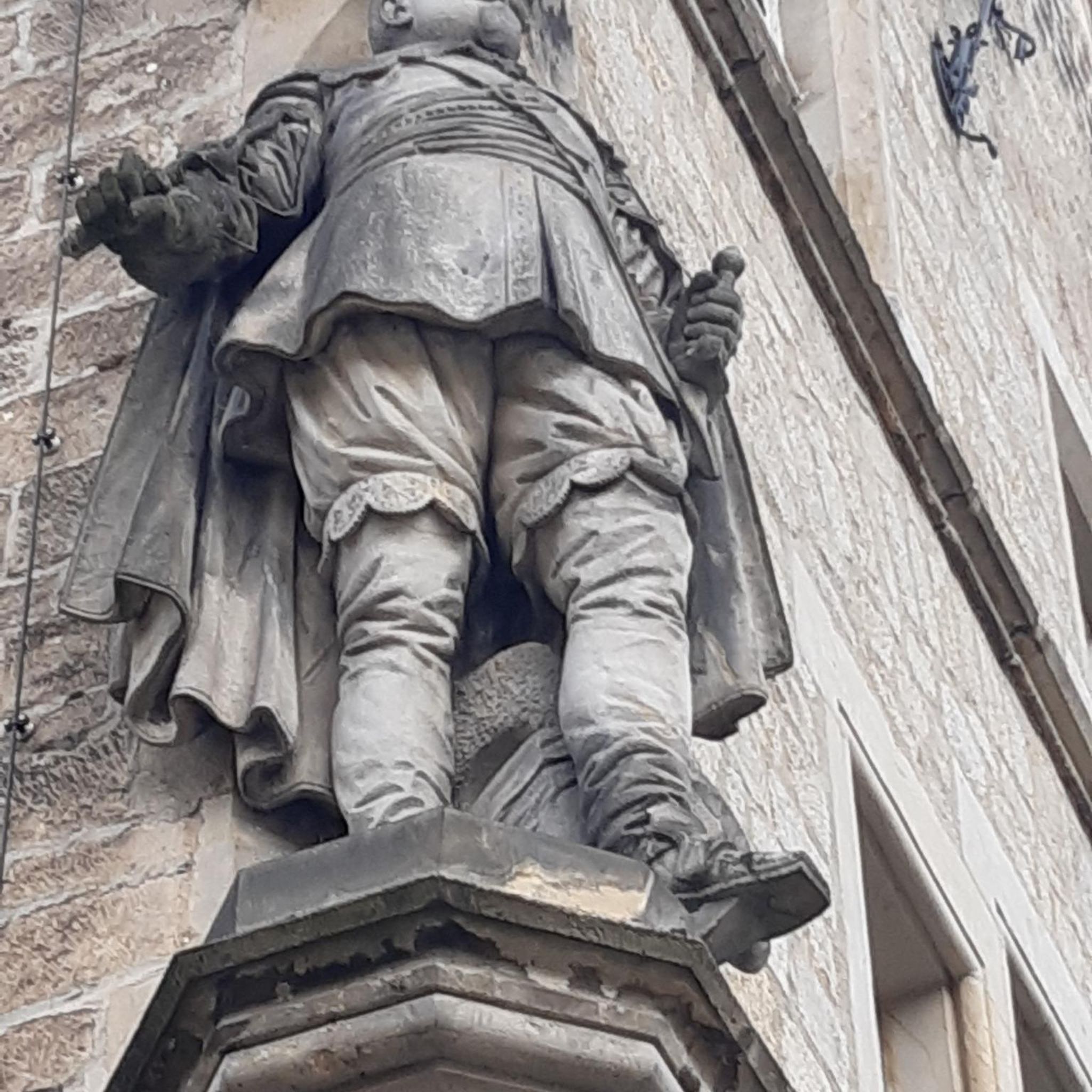
Located below the Château du Mollard, the Areymont spring was developed in 1838 with several basins and a large covered wash house, separated by the road. The nearby wayside cross dates from the 18th century. The Château du Molard, near the Place de la Halle, was built in the 16th century by the de la Forest and Paquelot families. The low arch of the entrance gate bears the date 1574 alongside the coats of arms of the two families. The Crozet family added a tower topped with a tall, pointed roof and two wings in 1878. https://patrimoines.ain.fr/n/saint-sorlin-en-bugey/n:393#:~:text=Le%20ch%C3%A2teau%20du%20Molard%2C%20pr%C3%A8s,et%20deux%20ailes%20en%201878.
0
0

cycle path very busy in good weather
0
0

Very pretty medieval village, reward after a small hill coming from the Green Way of Albaria
0
0

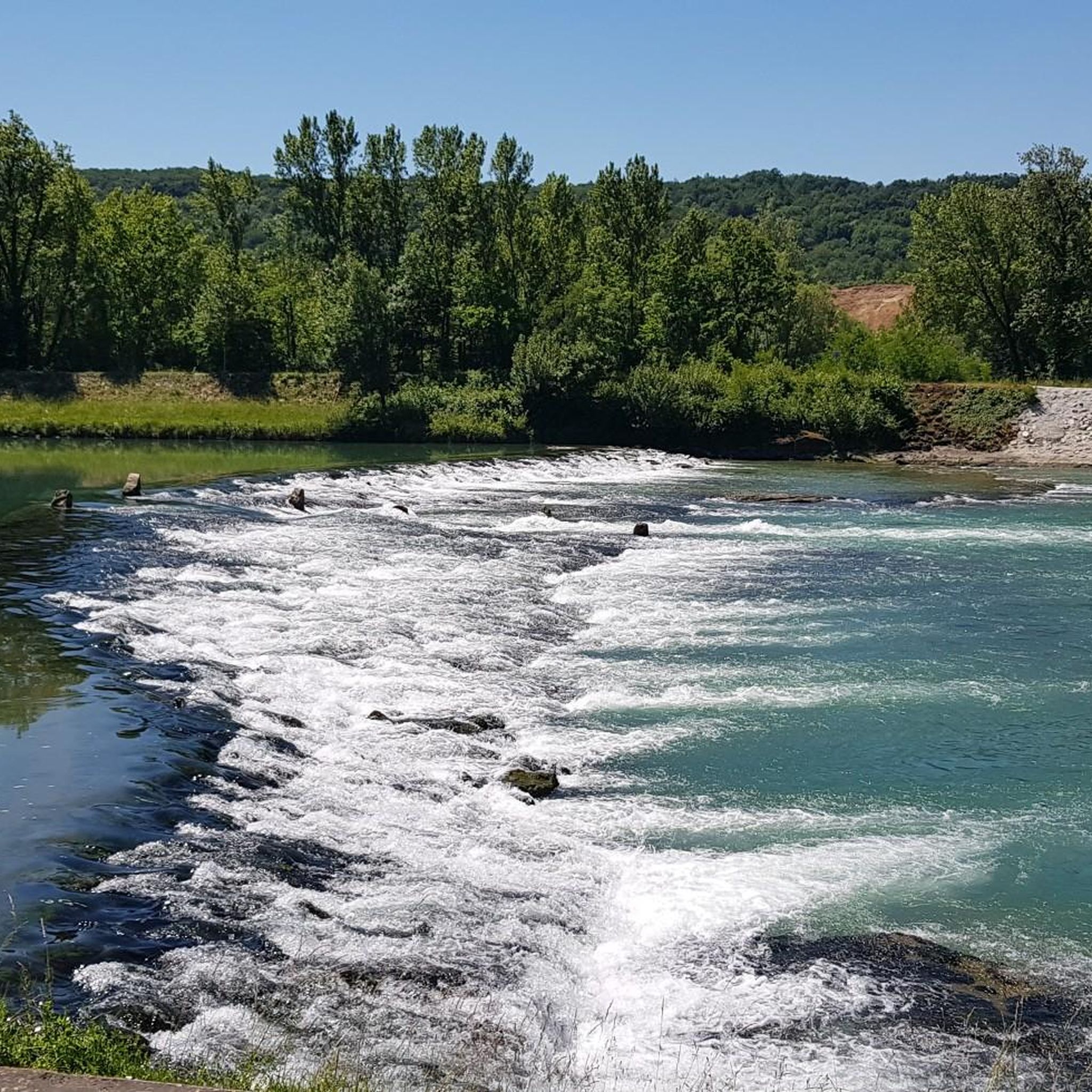
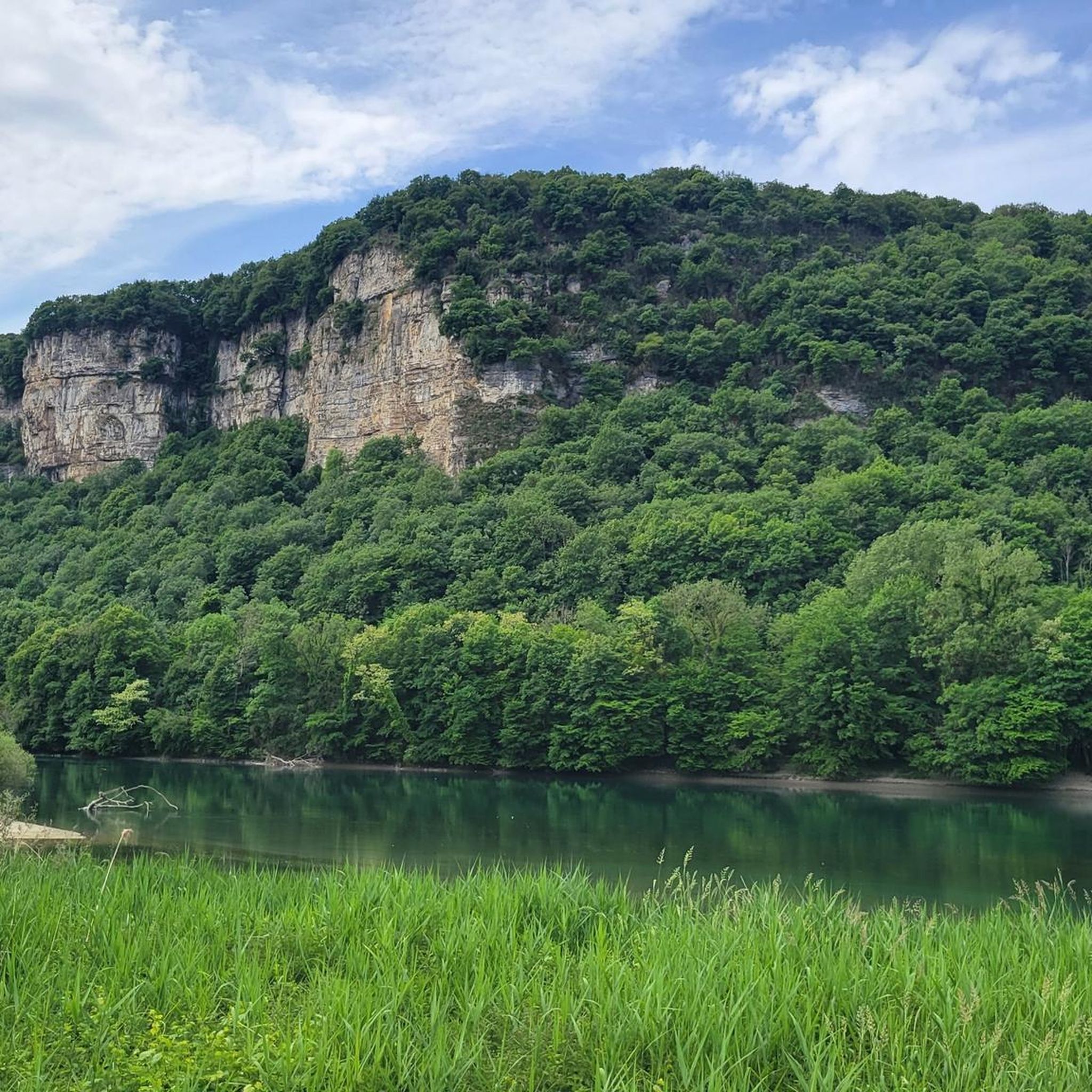
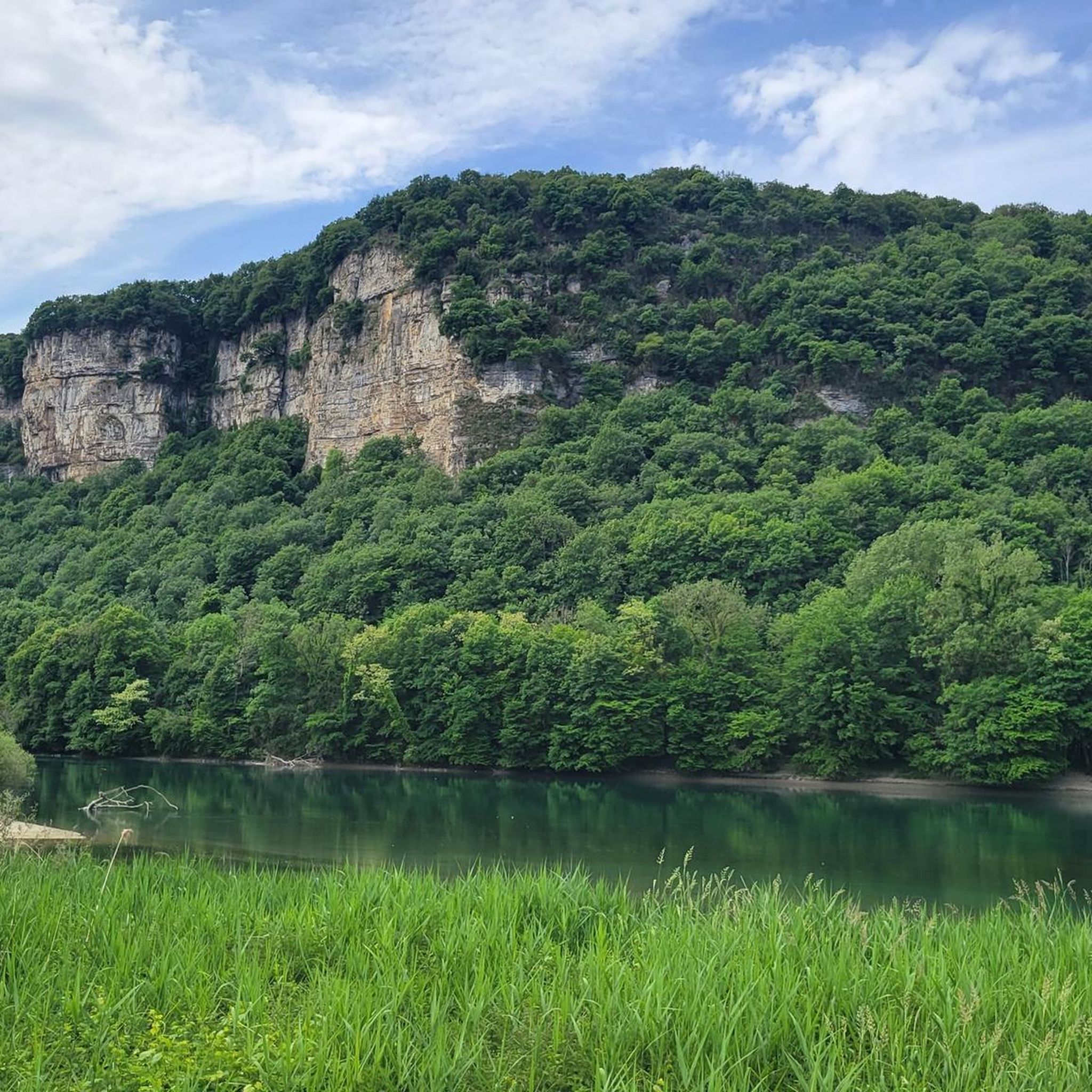
Beautiful view of the Rhône and the Jura mountains
0
0
Nice little café by the water 👍perfect for a coffee or snack break
0
0

The Groslée bridge is a suspension bridge crossing the Rhône between the municipalities of Groslée-Saint-Benoit (Ain) and Brangues (Isère). Designed by Ferdinand Arnodin and completed in 1912, it has a main span of 177.21 m in length. Source: Wikipedia
0
0


The large-format fresco on the outer façade with the image of the gigantic Saint CHRISTOPHER as the main motif had an important reason when the picture was installed: In the popular belief of those ancient times, if you saw Saint Christopher, you were considered to have seen the day before you unprepared death as protected.
0
0
Frequently Asked Questions
How many touring cycling routes are available in Sault-Brénaz?
Sault-Brénaz offers a wide variety of touring cycling routes, with nearly 150 different tours available. These range from easy riverside paths to more challenging routes with significant elevation changes, catering to all skill levels.
What kind of terrain can I expect on touring cycling routes in Sault-Brénaz?
The terrain around Sault-Brénaz is quite diverse. You'll find many routes along the serene Rhône River, often on dedicated greenways ("voie verte") that are flat and scenic. However, the broader region, including areas like the Bugey massif, also features hills, forests, and more rugged paths for those seeking a greater challenge.
Are there easy touring cycling routes suitable for beginners or families?
Yes, Sault-Brénaz has 28 easy touring cycling routes perfect for beginners or families. These routes often follow the ViaRhôna along the river, providing a relaxed and safe experience. An example is the View of the Saut du Rhône loop from Sault-Brénaz, an easy 7.5 miles (12.0 km) path offering pleasant views of the Rhône River.
Are there more challenging touring cycling routes for experienced riders?
Absolutely. For experienced cyclists seeking a challenge, there are 51 difficult routes in the Sault-Brénaz area. These routes often venture into the hillier terrain surrounding the Rhône. A notable difficult route is the Sault-Brénaz Dam – Whitewater course loop from La Source, which spans 36.4 miles (58.6 km) and includes over 1000 meters of elevation gain.
What are some notable landmarks or attractions I can see along the routes?
The region around Sault-Brénaz is rich in natural beauty and historical sites. Along your rides, you might encounter attractions such as the La Balme Caves, the tranquil Lac Bleu on the Gardon, or the historic Château Saint-Germain. The Vallée Bleue Lake and its marina are also popular stops for leisure and refreshments.
Are there any circular touring cycling routes in the area?
Yes, many touring cycling routes in Sault-Brénaz are designed as loops, allowing you to start and end at the same point. For example, the View of the Saut du Rhône – View of Vertrieu castle loop from Vertrieu is a moderate 28.6 miles (46.0 km) circular trail that takes you through picturesque riverside landscapes and past historic sites.
What is the best time of year to go touring cycling in Sault-Brénaz?
The spring and autumn months generally offer the most pleasant conditions for touring cycling in Sault-Brénaz, with milder temperatures and beautiful scenery. Summer can also be enjoyable, especially along the shaded riverside paths, but be prepared for warmer weather. Winter cycling is possible, though some services might be limited.
Can I find places to eat or stay near the cycling routes?
Yes, Sault-Brénaz and its surrounding towns offer various options for refreshments and accommodation. Along the ViaRhôna and near popular recreational areas like La Vallée Bleue, you can find cafes, restaurants, and gîtes. Some unique accommodations, such as tipis and Moroccan tents, are even available on an island, enhancing the outdoor experience.
What do other cyclists say about touring cycling in Sault-Brénaz?
The touring cycling routes in Sault-Brénaz are highly regarded by the komoot community, boasting an average rating of 4.3 stars from over 350 reviews. Cyclists frequently praise the scenic beauty of the Rhône River, the well-maintained greenways, and the diverse options available for all fitness levels.
What is the ViaRhôna and how does it relate to cycling in Sault-Brénaz?
The ViaRhôna is a major 815 km cycling itinerary that follows the Rhône River from its source to the Mediterranean Sea. Sault-Brénaz is strategically located along this route, making it a prime spot for touring cyclists. Many local routes, including greenways, are integrated into or run parallel to the ViaRhôna, offering a relaxed and picturesque cycling experience along the river.
Are there any routes that explore recreational areas like Vallée Bleue?
Yes, several routes allow you to explore the popular recreational areas. For instance, a loop from Sault-Brénaz passing through Quirieu and the Vallée Bleue is highlighted for its use of the ViaRhôna and opportunities to visit recreational sites. The Vallée Bleue Marina and Recreation Area itself is a significant attraction along the Rhône, providing a pleasant stop for cyclists.
Where can I park my car when starting a touring cycling route?
Parking is generally available in Sault-Brénaz and the nearby towns that serve as starting points for cycling routes. Look for designated parking areas near the riverbanks or in town centers, especially close to access points for the ViaRhôna or other popular trails. Specific parking information can often be found on local tourism websites or detailed route descriptions.
Most popular routes around Sault-Brénaz
Most popular attractions around Sault-Brénaz

Get inspired with the komoot mobile app


Explore more
Browse the best Cycling routes in other regions.
