The best walks and hikes around Freix-Anglards
4.2
(55)
424
hikers
23
hikes
Hiking around Freix-Anglards offers diverse landscapes within the Cantal department of the Auvergne-Rhône-Alpes region. The area features volcanic terrain to the north and east, contrasting with schist and heather-covered areas to the west. Situated between 591 and 842 meters in altitude, the commune is watered by the Soulane river and presents a mix of hills and valleys. This geological variety provides a range of scenic routes for outdoor enthusiasts.
Best hiking trails around Freix-Anglards
- The most popular hiking route is…
Last updated: June 29, 2026
5
hikers
14.4km
04:20
450m
450m
Moderate hike. Good fitness required. Easily-accessible paths. Suitable for all skill levels.
5.0
(1)
4
hikers
9.83km
02:44
180m
180m
Moderate hike. Good fitness required. Easily-accessible paths. Suitable for all skill levels.

Sign up for free
7
hikers
26.5km
07:37
640m
640m
Hard hike. Very good fitness required. Easily-accessible paths. Suitable for all skill levels.
12.3km
03:22
190m
190m
Moderate hike. Good fitness required. Easily-accessible paths. Suitable for all skill levels.
5.0
(2)
5
hikers
9.92km
02:59
310m
310m
Moderate hike. Good fitness required. Easily-accessible paths. Suitable for all skill levels.
Get access to more routes and recommendations from other explorers.
Sign up for free
Already have an account?
Our route recommendations are based on thousands of hikes, rides, and runs completed by other people on komoot.
Start today with a free account
Your next adventure awaits.
Login or Signup
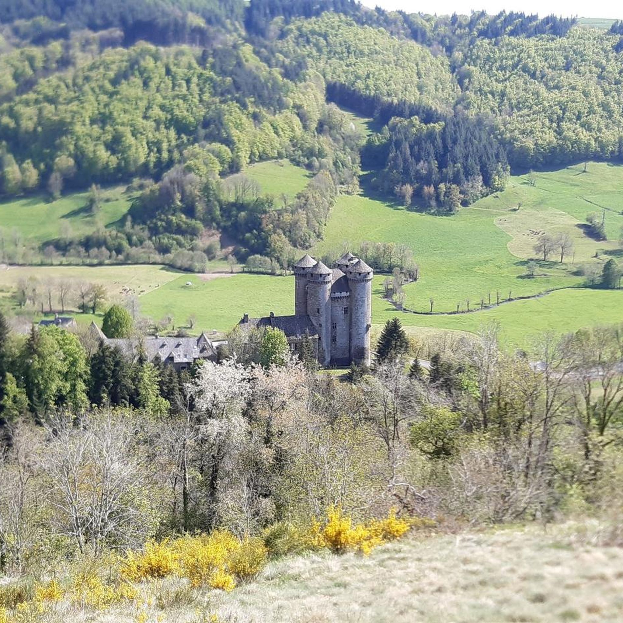
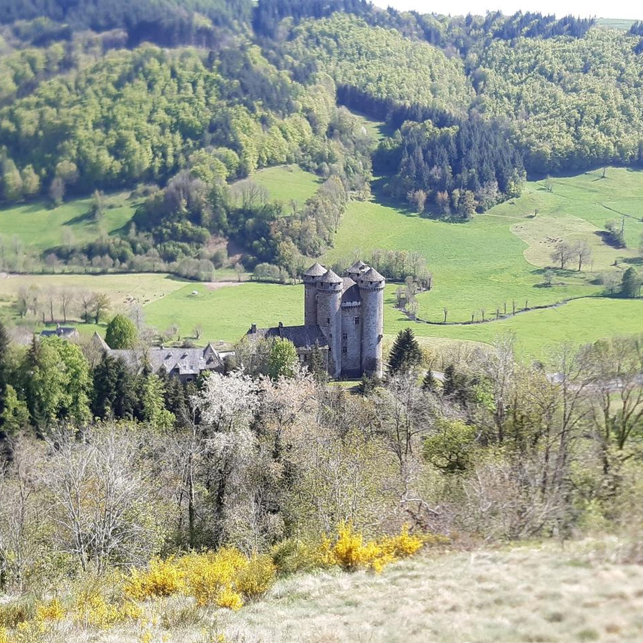
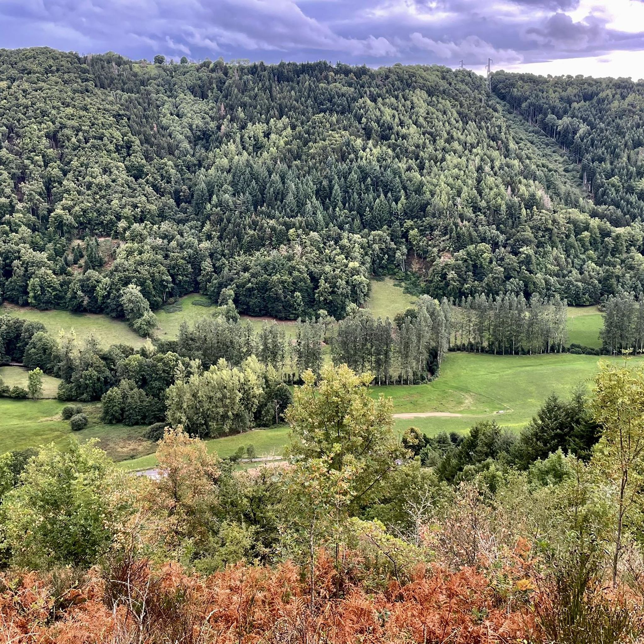

Tips from the Community

Frequently Asked Questions
How many hiking trails are available in Freix-Anglards?
There are over 20 hiking routes available directly in Freix-Anglards and its immediate surroundings. These trails offer a variety of experiences, from easy strolls to more challenging long-distance paths.
Are there easy hiking options suitable for beginners or casual walkers?
Yes, Freix-Anglards offers several easy hiking options. Approximately 6 of the routes are classified as easy, providing gentle paths through the region's diverse landscapes. These are perfect for those looking for a relaxed outdoor experience.
Can I find circular hiking routes in the Freix-Anglards area?
Many of the trails around Freix-Anglards are designed as circular routes, allowing you to start and end your hike in the same location. For example, the Saint-Cernin loop from Saint-Cernin is a popular moderate option, and the Lac des Genevrières loop from Le Bourret offers scenic views around the lake.
What kind of landscapes can I expect to see while hiking around Freix-Anglards?
The region boasts diverse landscapes, featuring volcanic terrain to the north and east, characteristic of the Auvergne's 'round volcanoes.' To the west, you'll find areas covered in schist and heather. The trails often pass through verdant valleys, along rivers like the Soulane, and offer views of the Cantalien Massif and the Sancy massif in the distance.
Are there any family-friendly hiking trails in Freix-Anglards?
Yes, the area provides several trails suitable for families. The varied topography ensures there are routes with minimal elevation gain and shorter distances, ideal for children. Look for the 'easy' classified routes for the most family-friendly options.
Are dogs allowed on the hiking trails around Freix-Anglards?
Generally, dogs are welcome on most hiking trails in the Freix-Anglards area, especially if kept on a leash. It's always a good idea to be mindful of local regulations, especially near agricultural areas or protected natural sites. Ensure you carry water for your dog and clean up after them.
What are some notable natural attractions or landmarks to look out for on hikes?
Hikers can discover several natural attractions. The region is close to the Fabrègues Castle and the Château d'Anjony. Further afield, you can find natural sites like the Cascade de Liadouze and the scenic Jordanne valley, known for its lush green landscapes.
Are there historical or cultural sites I can visit near the hiking trails?
Absolutely. Beyond the natural beauty, you can explore cultural gems. The village of Freix-Anglards itself features beautifully restored old houses and a church with remarkable stained glass windows. Nearby, Salers is recognized as one of France's 'most beautiful villages,' and Laroquebrou offers a river and a ruined castle. You can also visit Chapelle Notre-Dame du Château.
What is the best time of year to go hiking in Freix-Anglards?
The best time for hiking in Freix-Anglards is typically from spring to autumn (April to October). During these months, the weather is generally pleasant, and the landscapes are vibrant. Summer offers warmer temperatures, while spring and autumn provide cooler conditions and beautiful seasonal colors. Winter hiking is possible but requires appropriate gear due to potential snow and colder temperatures.
Is parking available at the trailheads in Freix-Anglards?
Yes, parking is generally available at or near the starting points of many trails in Freix-Anglards and surrounding villages. Local town halls often provide information on designated parking areas for hikers. It's advisable to check specific route details for precise parking information.
What do other hikers say about the trails in Freix-Anglards?
The trails in Freix-Anglards are highly rated by the komoot community, with an average score of 4.2 stars from around 50 reviews. Hikers often praise the diverse scenery, the tranquility of the routes, and the opportunity to explore both volcanic landscapes and charming rural hamlets.
Are there any longer, more challenging hikes for experienced trekkers?
Yes, for experienced trekkers, there are more challenging routes available. For instance, the Lac des Genevrières loop from Ayrens is a difficult 26.5 km (16.5 miles) trail that takes approximately 7 hours 36 minutes to complete, offering a longer exploration of the region's varied terrain and elevation changes.
Where can I find more information about local hiking paths like 'PR La Croix Haute'?
For specific local hiking paths such as 'PR La Croix Haute,' which starts from Freix-Anglards, you can find more detailed information and resources on the local tourism website. For example, Salers Tourisme provides details on this particular route.
Most popular attractions around Freix-Anglards

Get inspired with the komoot mobile app


Explore more
Browse the best Hikes in other regions.
