The best cycling routes around Freix-Anglards
4.5
(44)
972
riders
67
rides
Touring cycling routes around Freix-Anglards traverse the Cantal department, characterized by its volcanic origins and diverse landscapes. The region features a majestic stratovolcano, offering challenging climbs and panoramic views across dormant volcanic terrains. Cyclists encounter high mountain passes, such as the Pas de Peyrol, alongside serene glacial valleys and extensive forests. This varied topography provides a range of routes through the Auvergne-Rhône-Alpes region.
Best touring cycling routes around Freix-Anglards
- The most popular touring cycling route is Saint-Cernin – Légal Pass loop from Saint-Cernin, a 26.7 miles (42.9 km) trail that takes 3 hours 9 minutes to complete. This difficult route features significant elevation gain through the Cantal mountains.
- Another top favourite among local touring cyclists is Church in Aleix – Between Aleix and Laborie loop from Ayrens, a difficult 27.7 miles (44.6 km) path. This route offers a challenging ride through the local countryside with notable ascents.
- Local touring cyclists also love the Up and down on the D16 – Lake Enchanet loop from Saint-Cernin, a 42.7 miles (68.8 km) trail leading through varied terrain including views of Lake Enchanet, often completed in about 4 hours 46 minutes.
- Touring cycling around Freix-Anglards is defined by volcanic terrains, high mountain passes, and verdant forests. The network offers options for different ability levels, from moderate rides to challenging ascents.
- The routes in Freix-Anglards are highly rated by the komoot community with an average score of 4.3 stars from more than 40 reviews. More than 1000 touring cyclists have used komoot to explore Freix-Anglards's varied terrain.
Last updated: July 13, 2026
4.5
(2)
23
riders
43.9km
03:14
1,000m
1,000m
Hard bike ride. Very good fitness required. Mostly paved surfaces. Suitable for all skill levels.
19
riders
44.4km
03:33
880m
880m
Hard bike ride. Very good fitness required. Mostly paved surfaces. Suitable for all skill levels.

Sign up for free
8
riders
68.8km
04:46
1,280m
1,280m
Hard bike ride. Very good fitness required. Mostly paved surfaces. Suitable for all skill levels.
7
riders
48.4km
04:11
1,080m
1,080m
Hard bike ride. Very good fitness required. Mostly paved surfaces. Suitable for all skill levels.
5
riders
29.8km
02:01
480m
480m
Hard bike ride. Very good fitness required. Mostly paved surfaces. Suitable for all skill levels.
Get access to more routes and recommendations from other explorers.
Sign up for free
Already have an account?
Our route recommendations are based on thousands of hikes, rides, and runs completed by other people on komoot.
Start today with a free account
Your next adventure awaits.
Login or Signup


Tips from the Community

small road, beautiful scenery, little traffic, but extreme gradient
2
0
nice little church in the village
2
0
nice little road, but also here decent climbs or descents
1
0

Rain, visibility 1m, but otherwise great
0
0

Col de Légal, at an altitude of 1,231 meters, on the beautiful Route des Crêtes. It allows you to go from the Doire valley to the Bertrande valley, in the heart of the Pays de Salers. There you will find a small inn open all year round.
0
0

At 954 meters, the Col Saint-Georges is a 2.8 kilometer long climb from Saint Projet de Salers with an elevation gain of 153 meters and an average gradient of 5.5%.
0
0


The Col de Légal (1231 meters) allows you to pass from the Doire valley to the Bertrande valley. Summit Inn open all year round
0
0
Frequently Asked Questions
How many touring cycling routes are available around Freix-Anglards?
There are over 75 touring cycling routes around Freix-Anglards. These routes cater to various skill levels, with a significant number offering challenging ascents through the volcanic landscapes of the Cantal department.
What is the best time of year to go touring cycling in Freix-Anglards?
The Cantal region, where Freix-Anglards is located, offers pleasant cycling conditions from late spring through early autumn. During these months, the weather is generally mild, and the landscapes are vibrant, making it ideal for exploring the volcanic terrains, mountain passes, and verdant forests.
Are there options for less experienced touring cyclists?
While many routes in the Freix-Anglards area are challenging, there are a few easier options available. The region's diverse topography means that alongside difficult climbs, you can find more moderate rides through valleys and plateaus. In total, there are 3 easy and 28 moderate routes to choose from.
What makes the touring cycling routes around Freix-Anglards unique?
The routes around Freix-Anglards are defined by the region's unique volcanic origins, featuring Europe's largest stratovolcano. Cyclists can experience dramatic landscapes with challenging climbs, high mountain passes like the Pas de Peyrol, serene glacial valleys, and extensive forests, all within the Auvergne-Rhône-Alpes region.
How challenging are the touring cycling routes in Freix-Anglards?
The touring cycling routes around Freix-Anglards are generally quite challenging, with 45 out of 76 routes classified as difficult. For example, the Saint-Cernin – Légal Pass loop from Saint-Cernin involves significant elevation gain over its 42.9 km distance. These routes often feature substantial ascents and descents through the mountainous terrain.
What natural features can I expect to see while cycling?
You'll encounter a rich variety of natural features, including the dramatic volcanic terrains of the Cantalien massif, high mountain passes offering panoramic views, and picturesque glacial valleys. Routes also lead through verdant forests and past scenic bodies of water like Lake Saint-Étienne-Cantalès, as seen on the Up and down on the D16 – Lake Enchanet loop from Saint-Cernin.
Are there any historical or cultural sites to visit along the touring cycling routes?
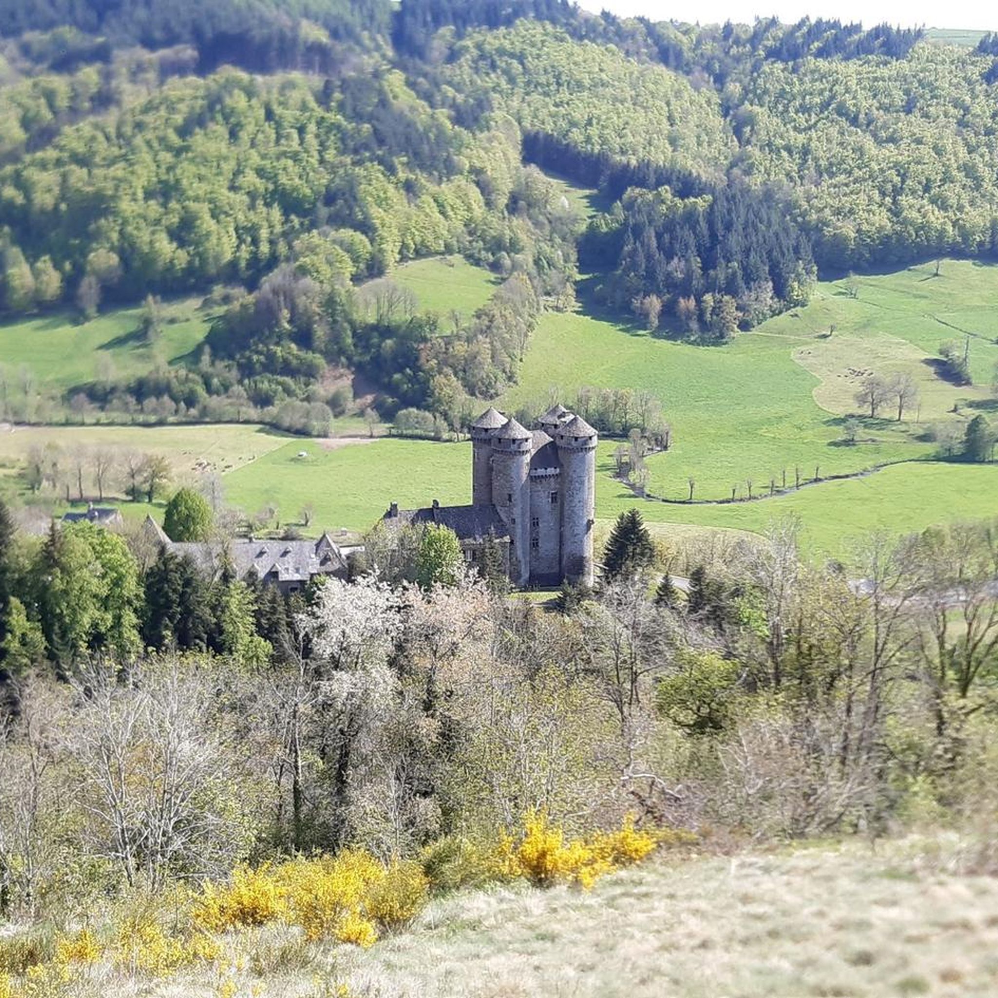
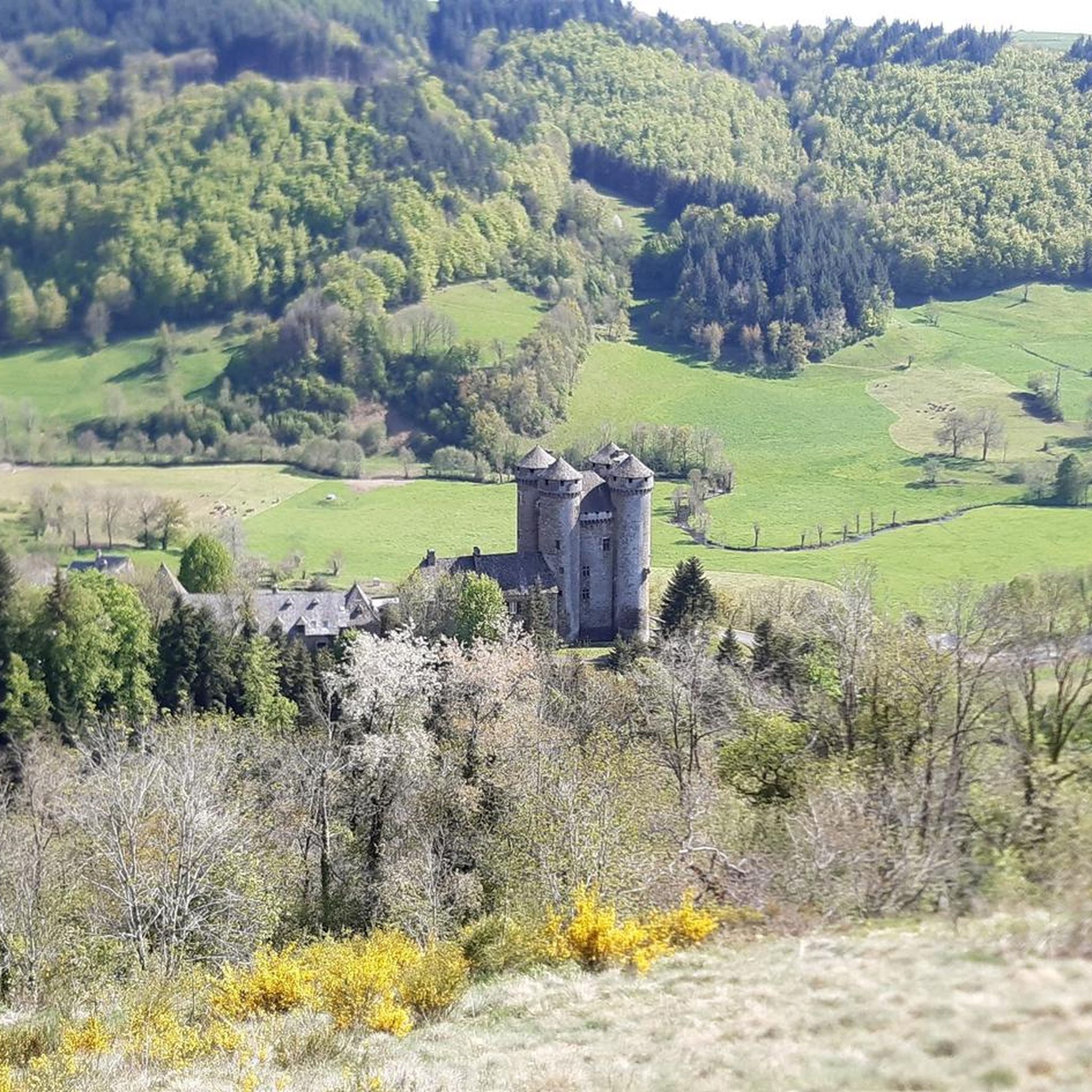
Yes, as you cycle through the region, you can discover charming towns and villages. Nearby attractions include the city of Aurillac, the historic Fabrègues Castle, and the impressive Château d'Anjony. These offer opportunities to explore local heritage and architecture.
Is Freix-Anglards suitable for family touring cycling trips?
While many routes are challenging, the broader Pays d'Aurillac area, which includes Freix-Anglards, offers diverse cycling options. Families might find more leisurely routes through villages and plateaus, though specific family-friendly touring routes directly from Freix-Anglards may require careful selection due to the prevalence of difficult terrain.
Where can I find services for cyclists, such as bike hire or repairs?
The broader Cantal region, particularly the Pays d'Aurillac, is actively promoted for cycling and often features "Accueil Vélo" certified establishments. These services are adapted for cyclists and can include bike hire, repair facilities, and accommodation. For more information on cycling in the Cantal, you can visit Hautes Terres Tourisme.
What do other touring cyclists say about the routes around Freix-Anglards?
The touring cycling routes around Freix-Anglards are highly rated by the komoot community, with an average score of 4.3 stars from over 40 reviews. Cyclists often praise the stunning panoramic views, the challenging yet rewarding climbs, and the diverse natural beauty of the volcanic landscapes.
Are there any circular touring cycling routes?
Yes, many of the touring cycling routes around Freix-Anglards are designed as loops, allowing you to start and finish in the same location. Examples include the Church in Aleix – Between Aleix and Laborie loop from Ayrens and the Between Aleix and Laborie – Church in Aleix loop from Jussac, which offer varied terrain and scenic views.
What are the typical distances and durations for touring cycling routes here?
The touring cycling routes around Freix-Anglards vary in length and duration. For instance, the Church in Aleix – Saint-Illide loop from Jussac is about 48.4 km (30 miles) and typically takes around 4 hours 10 minutes to complete, while other routes can be shorter or significantly longer depending on the elevation gain and terrain.
Most popular attractions around Freix-Anglards

Get inspired with the komoot mobile app


Explore more
Browse the best Cycling routes in other regions.
