The best running trails around Freix-Anglards
4.4
(68)
2,283
runners
105
runs
Jogging around Freix-Anglards offers diverse terrain within the Cantal department of Auvergne-Rhône-Alpes. The region features a mix of volcanic landscapes to the north and east, alongside schistous, heather-covered land to the west. Altitudes range from 591m to 842m, providing both challenging inclines and more gentle paths suitable for various running abilities. The Soulane river also flows through the area, adding to the natural environment.
Best jogging routes around Freix-Anglards
- The most popular jogging route is Montagne d'Entre-Deux Rieux – Puech…
Last updated: June 29, 2026
11
runners
21.2km
02:39
550m
550m
Hard run. Very good fitness required. Mostly paved surfaces. Suitable for all skill levels.
5
runners
10.6km
01:14
290m
290m
Moderate run. Good fitness required. Mostly paved surfaces. Suitable for all skill levels.

Sign up for free
5
runners
7.84km
00:52
150m
150m
Moderate run. Good fitness required. Mostly paved surfaces. Suitable for all skill levels.
4.5
(2)
5
runners
9.59km
01:00
90m
90m
Moderate run. Good fitness required. Mostly paved surfaces. Suitable for all skill levels.
6
runners
14.0km
01:47
470m
470m
Hard run. Very good fitness required. Mostly paved surfaces. Suitable for all skill levels.
Get access to more routes and recommendations from other explorers.
Sign up for free
Already have an account?
Our route recommendations are based on thousands of hikes, rides, and runs completed by other people on komoot.
Start today with a free account
Your next adventure awaits.
Login or Signup

Frequently Asked Questions
What kind of terrain can I expect when running around Freix-Anglards?
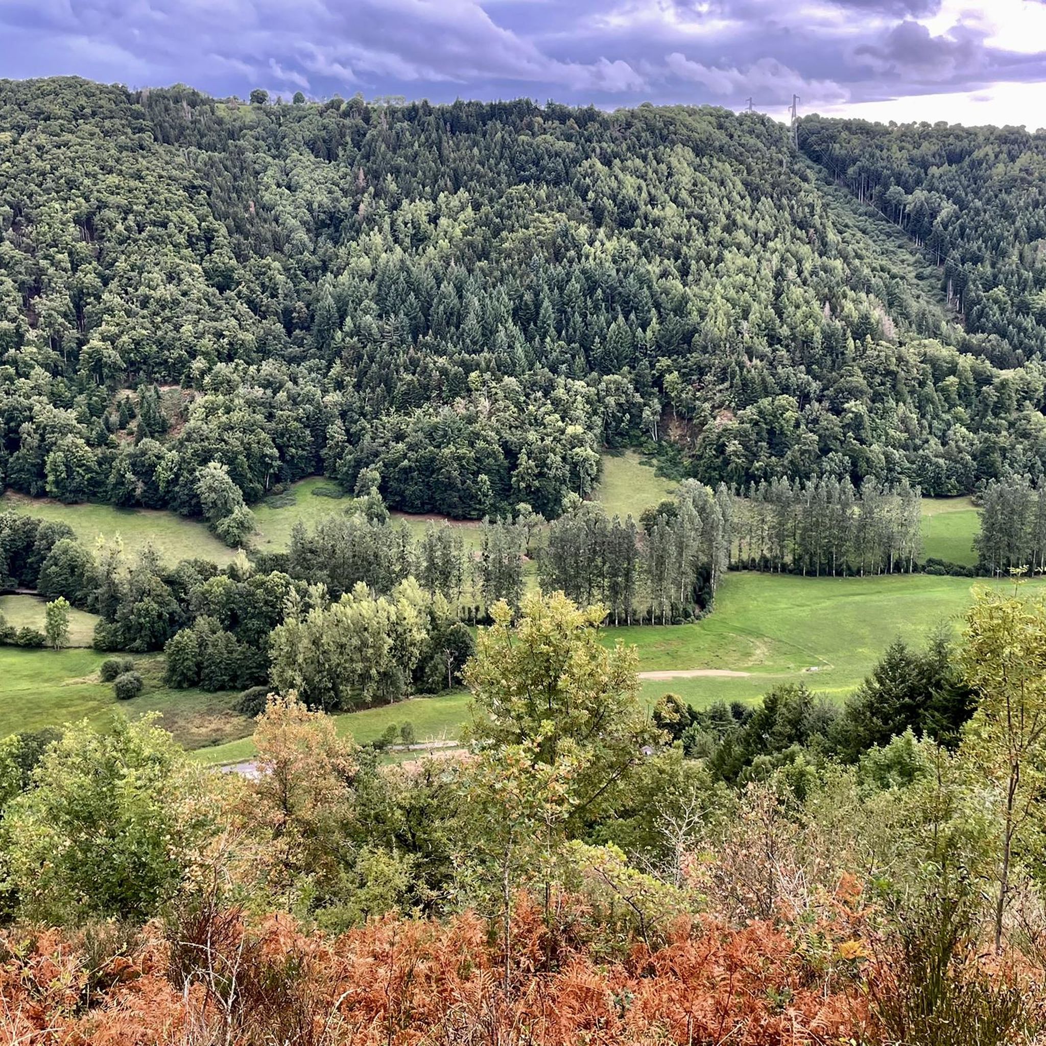
The region around Freix-Anglards offers a diverse landscape for runners. You'll find a mix of volcanic terrain to the north and east, providing varied surfaces, alongside schistous, heather-covered land to the west. The Soulane river also flows through the area, adding picturesque elements to many routes. Altitudes range from 591m to 842m, ensuring both challenging inclines and more gentle paths.
How many running routes are available in the Freix-Anglards area?
There are over 100 running routes available around Freix-Anglards, catering to various preferences and fitness levels. The komoot community has explored these trails extensively, with over 2200 runners using the platform to discover the area's diverse running opportunities.
What are the difficulty levels of the running trails near Freix-Anglards?
The running trails in this area offer a good mix of difficulties. You'll find approximately 5 easy routes, around 75 moderate routes, and about 24 more difficult trails. This variety ensures there's something for everyone, from casual joggers to experienced trail runners looking for a challenge.
Are there any family-friendly running paths in Freix-Anglards?
While specific 'family-friendly' routes aren't explicitly categorized, many of the 5 easy and 75 moderate routes around Freix-Anglards would be suitable for families. Look for routes with less elevation gain and shorter distances for a more relaxed experience. The varied terrain and scenic views make for an enjoyable outing for all ages.
What do other runners say about the trails in Freix-Anglards?
The running routes around Freix-Anglards are highly regarded by the komoot community, boasting an average rating of 4.5 stars from over 40 reviews. Runners often praise the varied terrain, scenic views, and the balance of challenging and gentle paths that the region offers.
Can I find circular running routes in the Freix-Anglards region?
Yes, many of the running routes in the Freix-Anglards area are circular, allowing you to start and finish at the same point. For example, the moderate Running loop from Cels is a popular choice, offering scenic views over 10.8 km. Another option is the Running loop from Guarigoux, a shorter 6.2 km trail.
Are there any notable landmarks or attractions I can see while running near Freix-Anglards?
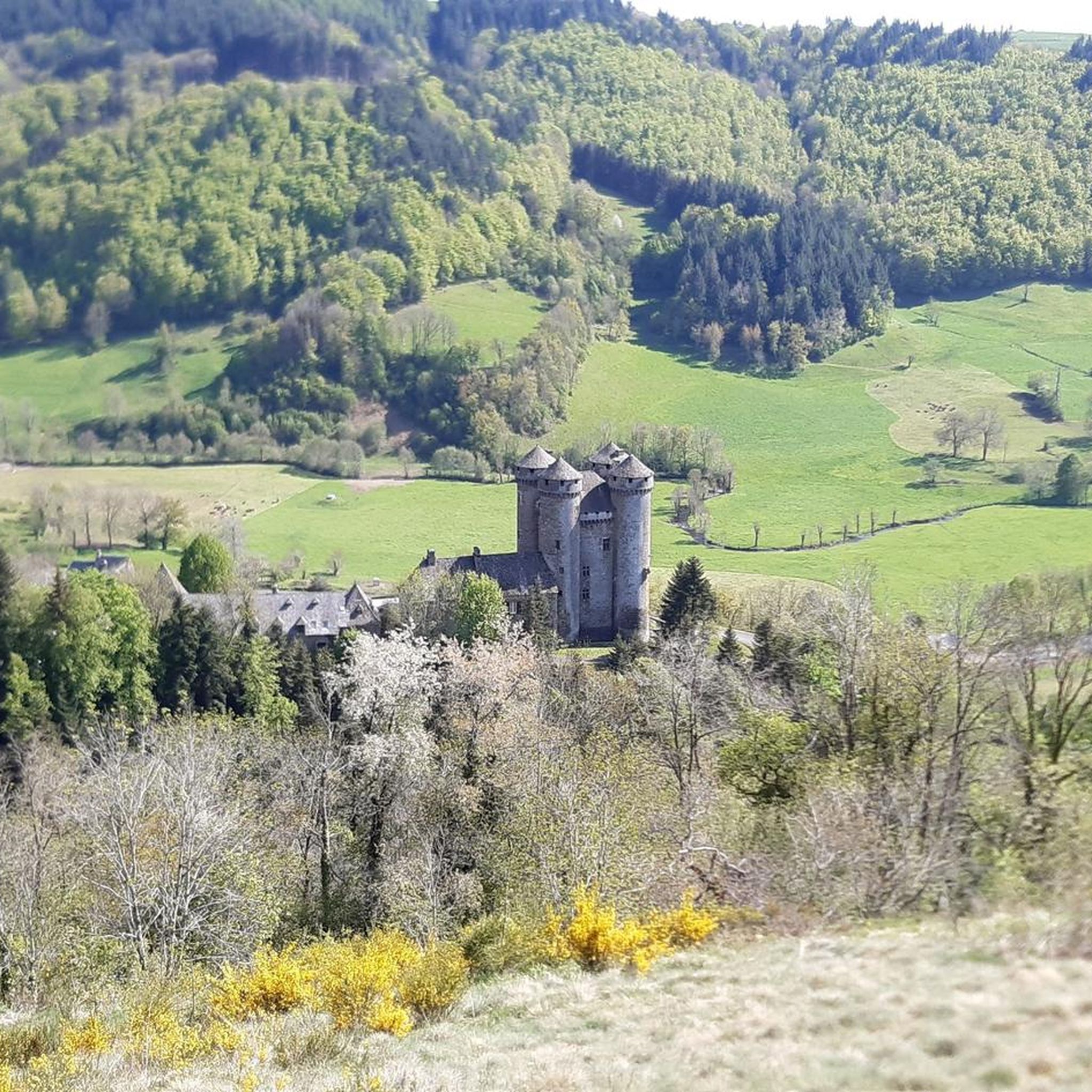
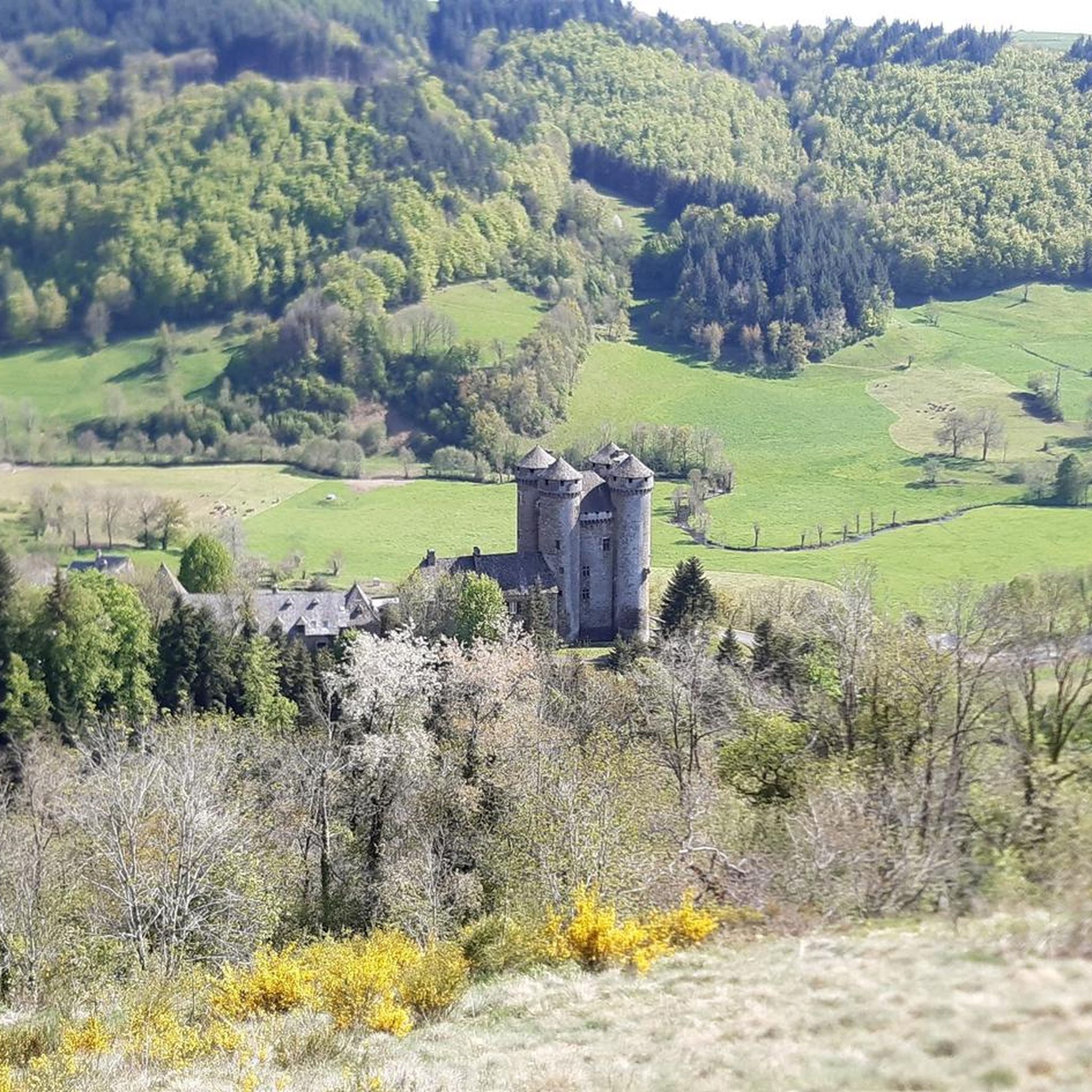
Absolutely! The region is rich in natural beauty and historical sites. While running, you might pass by charming villages or catch glimpses of the volcanic landscapes. Nearby attractions include the impressive Fabrègues Castle and the historic Chapelle Notre-Dame du Château. For a longer run, you could explore routes that offer views towards the larger town of Aurillac or the picturesque village of Tournemire, known for the Chateau de Anjony.
Are there any challenging trail running options for experienced runners?
Yes, for experienced trail runners seeking a challenge, Freix-Anglards offers several difficult routes. A prime example is the Montagne d'Entre-Deux Rieux – Puech Roudié loop from Jussac. This 21.1 km trail features significant elevation gain and varied terrain, typically taking over 2.5 hours to complete.
What are some natural features to look out for on running routes?
The natural environment around Freix-Anglards is defined by its volcanic terrain, schistous hills, and river valleys. You'll encounter diverse flora and fauna, especially in the heather-covered lands to the west. The Soulane river adds a calming presence to many routes, and the varying altitudes provide panoramic views of the Cantal department.
Is public transport available to access trailheads around Freix-Anglards?
Freix-Anglards is a smaller commune, and while specific public transport links directly to every trailhead might be limited, the larger town of Aurillac (11 km away) serves as a regional hub. From there, local transport options or a short drive would likely be necessary to reach many of the starting points for running routes.
Are there places to park near the running trails?
Parking availability can vary depending on the specific trailhead. Many routes, especially those starting from villages like Jussac or Cels, will likely have designated parking areas or roadside spots. It's always advisable to check the route details on komoot for specific parking information before you head out.
What is a good moderate-difficulty running route in the area?
A popular moderate-difficulty option is the Running loop from Jussac. This route covers approximately 10.5 km with a balanced challenge, making it a great choice for runners looking for a scenic and engaging experience without extreme difficulty.
Most popular attractions around Freix-Anglards

Get inspired with the komoot mobile app


Explore more
Browse the best Running Trails & Routes in other regions.
