The best walks and hikes around Saint-Savournin
4.5
(702)
4,690
hikers
19
hikes
Hiking around Saint-Savournin offers a diverse landscape characterized by rolling hills, Mediterranean vegetation, and historical ruins. The region features varied terrain, from gentle paths through wooded areas to more challenging ascents providing panoramic views. Hikers can explore a network of trails that traverse both natural and cultural points of interest.
Best hiking trails around Saint-Savournin
- The most popular hiking route is Puits Béthune loop from Les Valas, a 3.3 miles (5.3 km) trail that takes 1 hour 25 minutes…
Last updated: July 5, 2026
4.6
(7)
53
hikers
6.36km
01:58
230m
230m
Easy hike. Great for any fitness level. Easily-accessible paths. Suitable for all skill levels.
4.0
(2)
8
hikers
5.31km
01:26
60m
60m
Easy hike. Great for any fitness level. Easily-accessible paths. Suitable for all skill levels.

Sign up for free
5.0
(1)
3
hikers
7.06km
02:37
380m
380m
Hard hike. Good fitness required. Sure-footedness, sturdy shoes and alpine experience required.
4.0
(1)
9
hikers
3.99km
01:21
190m
190m
Easy hike. Great for any fitness level. Easily-accessible paths. Suitable for all skill levels.
10
hikers
8.77km
02:22
110m
110m
Moderate hike. Good fitness required. Easily-accessible paths. Suitable for all skill levels.
Get access to more routes and recommendations from other explorers.
Sign up for free
Already have an account?
Our route recommendations are based on thousands of hikes, rides, and runs completed by other people on komoot.
Start today with a free account
Your next adventure awaits.
Login or Signup
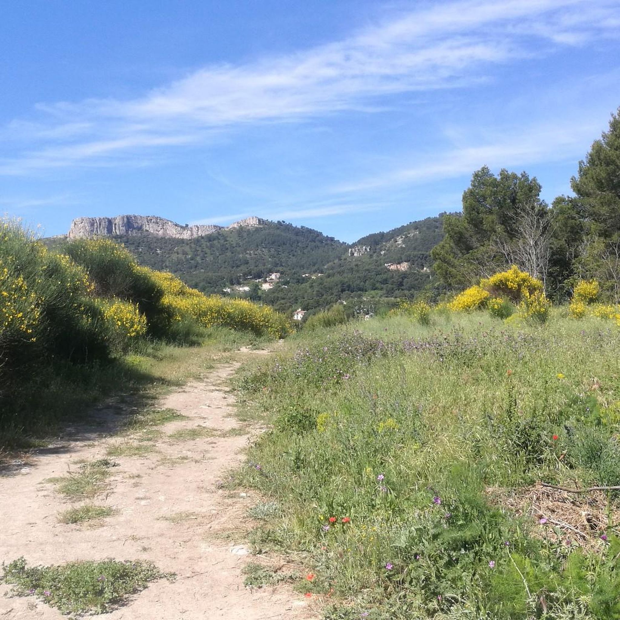
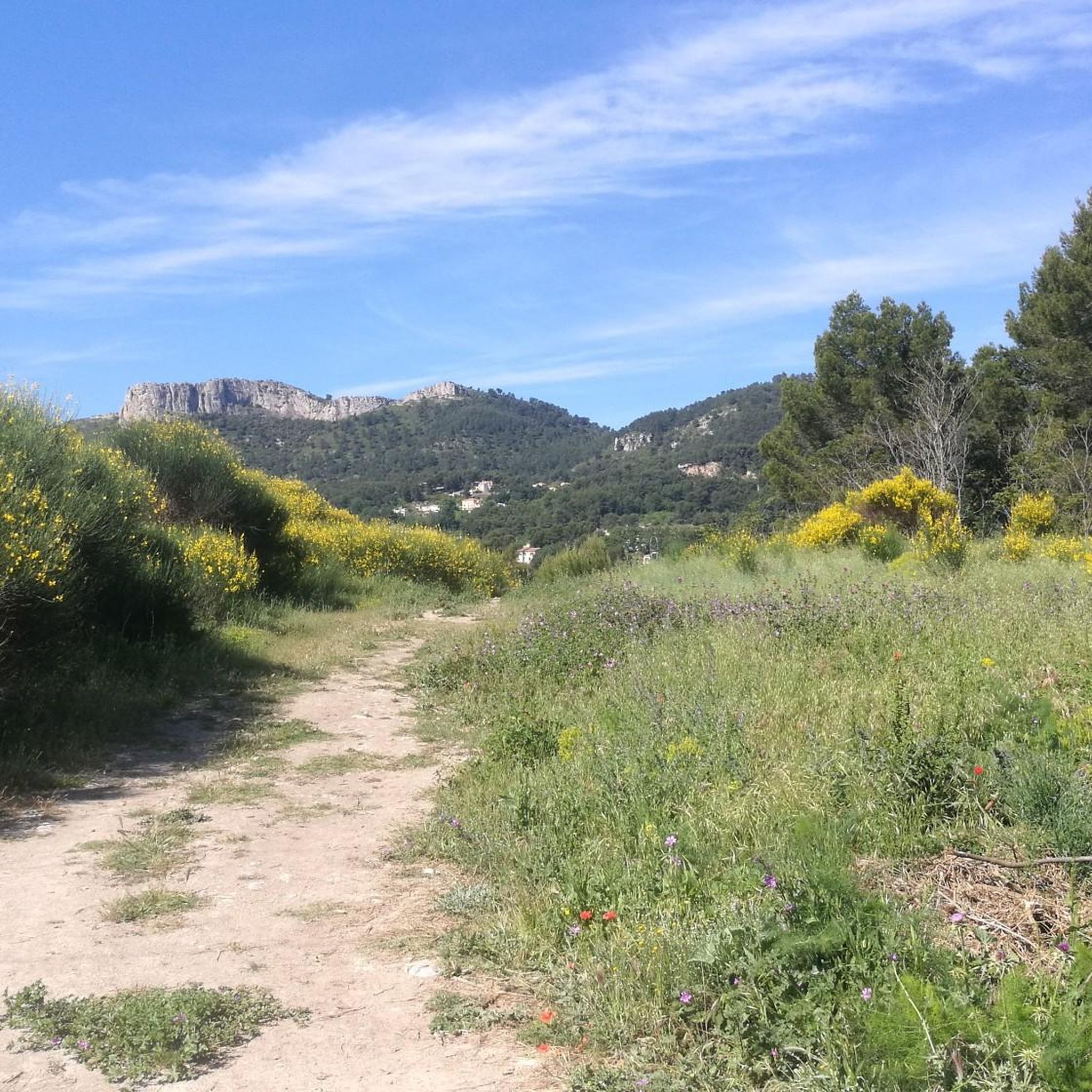

Tips from the Community

from the summit of Mount Julien
0
0
From above the giant (rock formation visible from Mimet in the shape of a napping giant)
0
0

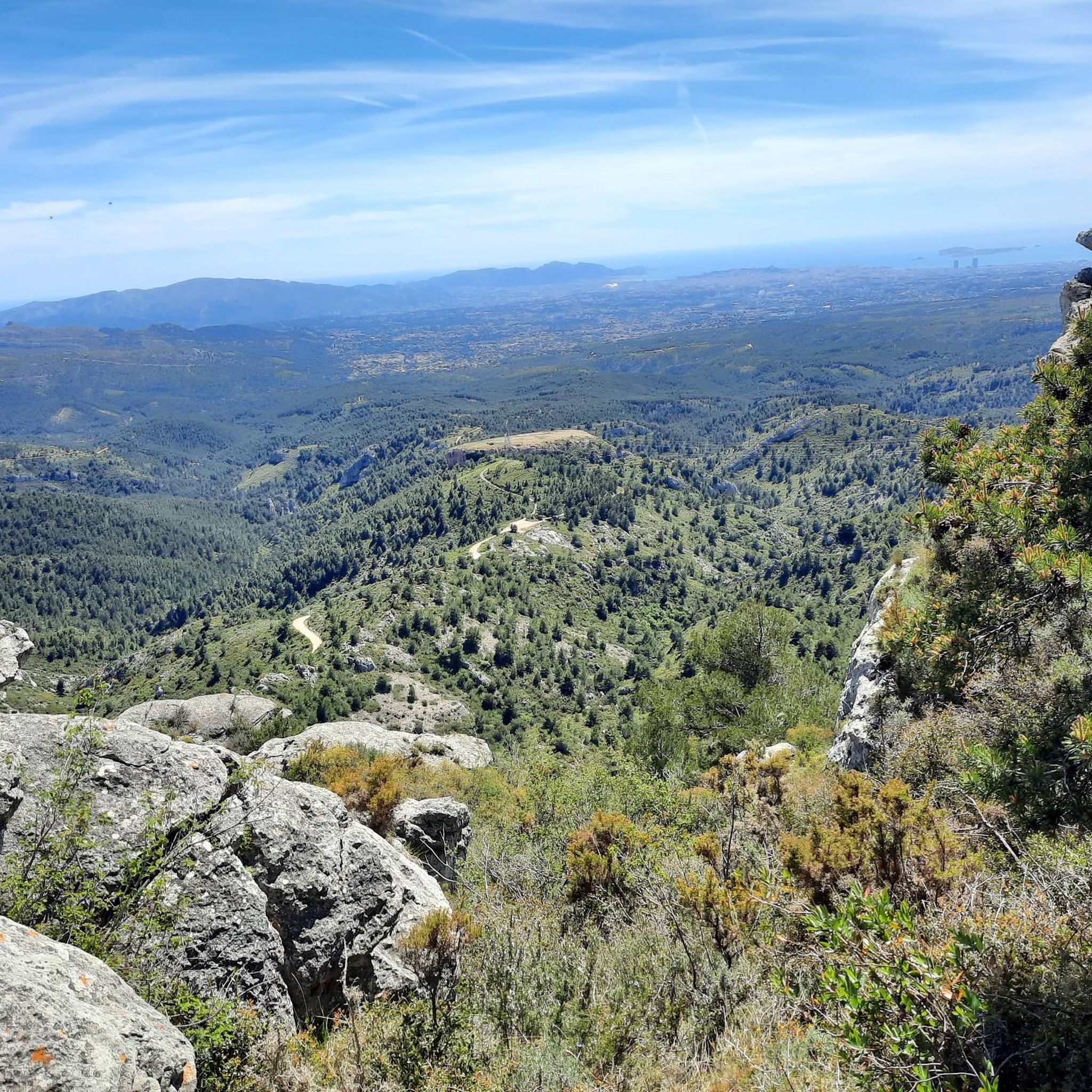
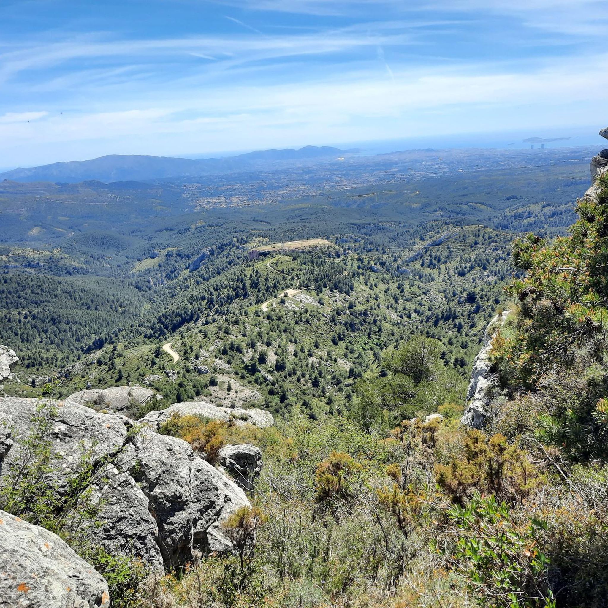
Panoramic view of the entire valley: Marseille, Aix en Provence, Sainte-Victoire, Sainte Baume,...
0
0

Stunning ! Thank you for this section
0
0

Segment of the DFCI from the Aire de la Moure to the Grand Puech, well maintained and with panoramic views.
0
0
Natural cavity or ancient Celtic cave?
0
0

The highest point in the region, the head of Grand Puech stands proudly in the middle of the mountains, revealing a breathtaking panoramic view of the surroundings. It is also a witness to history, with traces of human occupation dating back to prehistoric times.
0
0

When the view is clear, you can see really far!
0
0
Frequently Asked Questions
How many hiking trails are there in Saint-Savournin?
Saint-Savournin offers a diverse network of over 15 hiking trails. These routes vary in difficulty, providing options from easy strolls to more challenging ascents with significant elevation gain.
Are there easy or family-friendly hiking trails in Saint-Savournin?
Yes, Saint-Savournin features several easy trails suitable for families. The Puits Béthune loop from Les Valas is an easy 3.3-mile (5.3 km) walk through the local countryside. Another great option is the Old House Ruin loop from Cadolive, a 2.7-mile (4.3 km) path featuring historical ruins and gentle elevation changes.
What kind of challenging hikes can I find in Saint-Savournin?
For those seeking more challenging routes, Saint-Savournin offers trails with significant elevation gain and expansive views. The View of Marseille – Tête du Grand Puech loop from Saint-Savournin is a difficult 7.8-mile (12.5 km) trail that provides panoramic vistas, including views of Marseille.
Are there any circular walks available in Saint-Savournin?
Many of the trails in Saint-Savournin are designed as circular routes, allowing you to start and end at the same point. Examples include the Tête du Grand Puech – View of the village of Mimet loop from Saint-Savournin, which is 4.2 miles (6.7 km) long, and the Old Castle Ruin – Fairy Cave loop from Saint-Savournin.
What natural landmarks or attractions can I see along the trails?
The region around Saint-Savournin is rich in natural beauty. Hikers can explore areas with notable peaks like Le Garlaban and Tête du Grand Puech. You might also encounter unique natural monuments such as the Engravings of Garlaban or the serene Domaine de la Font de Mai.
What do other hikers enjoy most about hiking in Saint-Savournin?
The trails in Saint-Savournin are highly rated by the komoot community, with an average score of 4.5 stars from over 650 reviews. Hikers often praise the varied hills, historical ruins, and the scenic viewpoints that offer expansive vistas of the surrounding landscape.
Is Saint-Savournin a good destination for winter hiking?
While Saint-Savournin generally experiences mild winters, conditions can vary. The Mediterranean climate means less snow than mountainous regions, but trails can still be wet or muddy after rain. Always check local weather forecasts and trail conditions before heading out in winter.
What is the best time of year to hike in Saint-Savournin?
The best time to hike in Saint-Savournin is typically during spring (April-June) and autumn (September-November). During these seasons, the weather is pleasantly mild, and the Mediterranean vegetation is at its most vibrant. Summers can be very hot, making early morning or late afternoon hikes preferable.
Are there any trails with historical ruins or points of interest?
Yes, the region is dotted with historical sites. The Old House Ruin loop from Cadolive specifically highlights historical ruins. Many trails also pass by remnants of past settlements, offering a glimpse into the area's heritage.
What should I wear for hiking in Saint-Savournin?
Given the varied terrain and Mediterranean climate, it's advisable to wear comfortable, layered clothing suitable for changing weather conditions. Sturdy hiking shoes with good grip are essential, especially on trails with rocky sections or elevation changes. Don't forget sun protection, even on cloudy days.
Are there options for less crowded trails in Saint-Savournin?
While some popular routes can see more foot traffic, Saint-Savournin's extensive network of trails means you can often find quieter paths. Exploring some of the moderate or difficult routes, or hiking during off-peak hours (early mornings or weekdays), can lead to a more secluded experience.
Is public transport available to reach trailheads in Saint-Savournin?
Public transport options to specific trailheads in Saint-Savournin can be limited. It is generally recommended to use a car for convenient access to most starting points. Some local bus services might connect to the village center, but further travel to trailheads may require walking or a taxi.
Most popular routes around Saint-Savournin
Most popular attractions around Saint-Savournin

Get inspired with the komoot mobile app


Explore more
Browse the best Hikes in other regions.
