The best running trails around Saint-Savournin
4.5
(2)
264
runners
22
runs
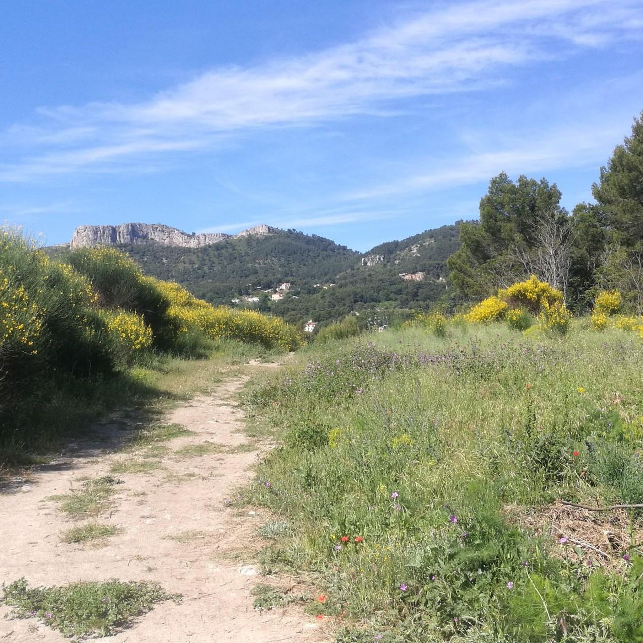
Jogging around Saint-Savournin offers diverse landscapes in the Bouches-du-Rhône department of southern France. The region is situated at the foot of the Massif de l'Étoile and Garlaban massifs, characterized by valleys, rocky ridges, and hilltops covered with garrigue. Trails traverse varied terrain, including farmland and forests, providing options for different fitness levels.
Best jogging routes around Saint-Savournin
- The most popular jogging route is The Bumps of Mont Julien Trail, a 5.5 miles (8.8 km) trail that takes 1 hour…
Last updated: July 7, 2026
5.0
(1)
27
runners
8.80km
01:17
470m
470m
The Bumps of Mont Julien Trail is a difficult 5.5-mile jogging route with 1526 feet of elevation gain, offering panoramic views.
16
runners
12.0km
01:40
560m
560m
Jog the difficult Mont Julien Loop Trail, a 7.4-mile route with 1836 feet of elevation gain and panoramic views from Mount Julien.

Sign up for free
15
runners
5.97km
00:49
280m
280m
Jog the difficult 3.7-mile Mont Julien and Grotte des Fées Loop, gaining 929 feet with panoramic views and a visit to Fairy Cave.
11
runners
14.0km
01:47
450m
460m
This difficult 8.7-mile jogging loop near Cadolive offers panoramic views from Mont Julien and passes the Grotte des Fées.
36
runners
9.79km
01:17
330m
330m
Hard run. Very good fitness required. Sure-footedness, sturdy shoes and alpine experience required.
Get access to more routes and recommendations from other explorers.
Sign up for free
Already have an account?
Our route recommendations are based on thousands of hikes, rides, and runs completed by other people on komoot.
Start today with a free account
Your next adventure awaits.
Login or Signup

Tips from the Community

Stunning ! Thank you for this section
0
0

Segment of the DFCI from the Aire de la Moure to the Grand Puech, well maintained and with panoramic views.
0
0
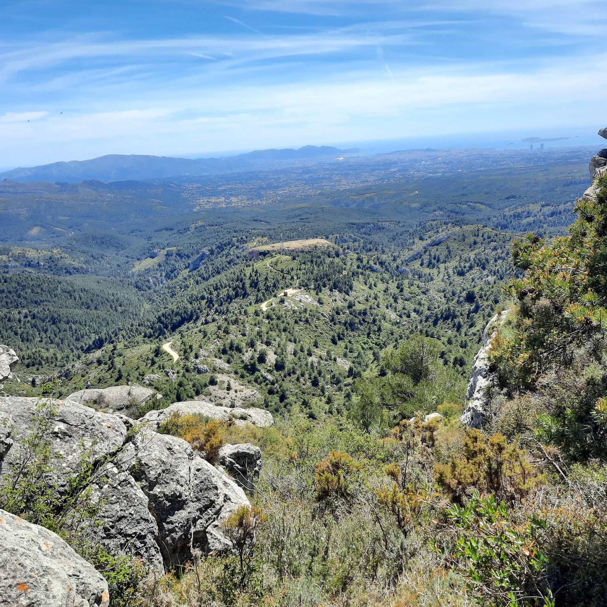
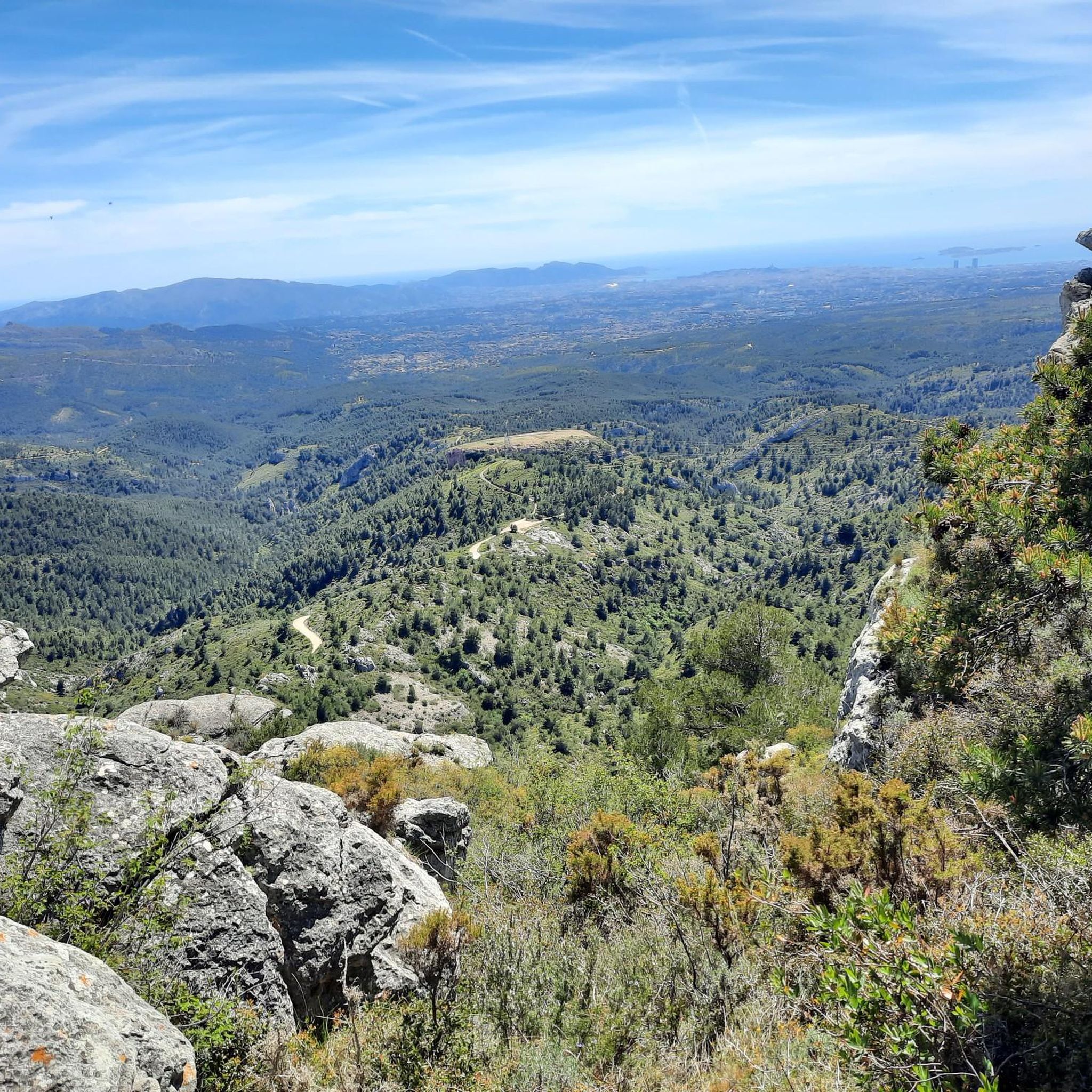
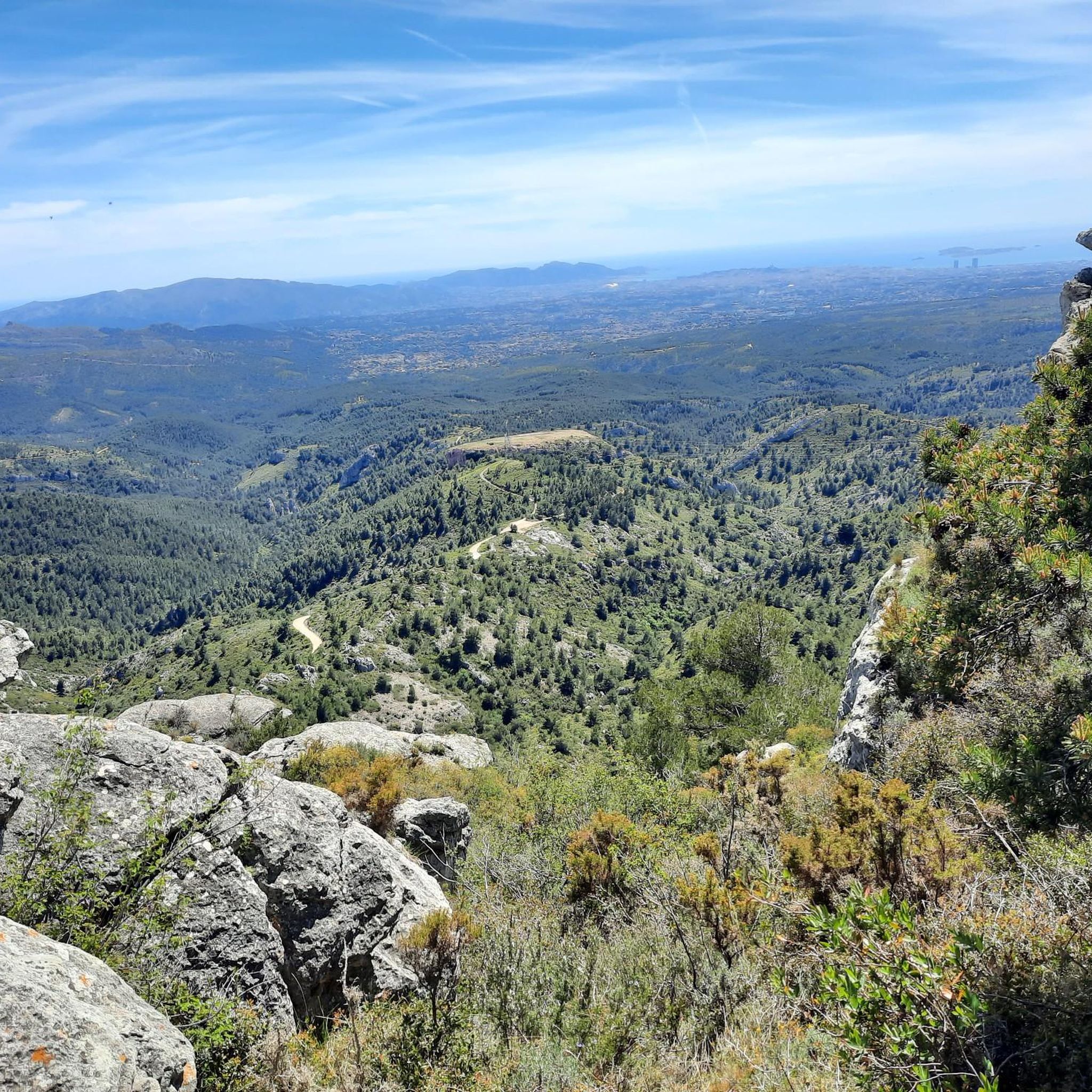
Beautiful panoramas of the surrounding reliefs.
0
0
Natural cavity or ancient Celtic cave?
0
0
At the top of Mont Julien, the panoramas of Sainte-Victoire, the Alps and the Bay of Marseille are worth the climb.
0
0
Frequently Asked Questions
How many running routes are available around Saint-Savournin?
There are over 20 running routes in the Saint-Savournin area, catering to various fitness levels. The komoot community has explored more than 200 of these trails, offering a wide selection for your next run.
What kind of terrain can I expect on the jogging trails in Saint-Savournin?
The terrain around Saint-Savournin is quite varied, featuring rocky ridges, valleys, and hilltops covered with garrigue (Mediterranean scrubland). You'll also find routes traversing farmland and forests, especially within the Massif de l'Étoile and Garlaban massifs. Expect significant elevation changes on many trails, making for a challenging and rewarding run.
Are there any easy or beginner-friendly jogging routes in the region?
While many routes in Saint-Savournin are categorized as moderate to difficult due to elevation gains, the region does offer paths suitable for different fitness levels. For those seeking a less strenuous experience, it's best to check the route details on komoot for specific elevation profiles and distances to find an easier option.
Can I find circular running routes in Saint-Savournin?
Yes, many of the running paths around Saint-Savournin are circular, allowing you to start and finish at the same point. For example, the challenging Mont Julien Loop Trail is a great circular option, offering a substantial climb and a rewarding experience.
What are some scenic viewpoints or natural features I can see while jogging?
The region is rich in scenic beauty. From elevated points, you can enjoy magnificent panoramic views, sometimes extending as far as the Sainte Victoire mountain. Routes like The Bumps of Mont Julien Trail offer stunning vistas. You might also encounter landmarks such as the ancient Castellas feudal castle or enjoy views of Marseille from the Tête du Grand Puech.
Are there any family-friendly running trails in Saint-Savournin?
While many trails feature significant elevation, some paths are suitable for families looking for a less intense run or walk. It's recommended to review the difficulty and length of specific routes on komoot to ensure they align with your family's fitness level. Look for routes with lower elevation gain and shorter distances.
Are the jogging routes around Saint-Savournin dog-friendly?
Generally, the natural trails in the Massif de l'Étoile and Garlaban are accessible for dogs, but it's always advisable to keep them on a leash, especially in areas with wildlife or near agricultural land. Always check local regulations and be mindful of other trail users. Ensure your dog is fit for the varied terrain and potential elevation changes.
What do other runners say about jogging in Saint-Savournin?
The running routes in Saint-Savournin are highly rated by the komoot community, with an average score of 5.0 stars. Runners often praise the diverse landscapes, challenging climbs, and the opportunity to immerse themselves in nature with panoramic views of the Massif de l'Étoile and Garlaban.
Are there any historical sites or attractions near the running paths?
Yes, the area combines natural beauty with historical interest. Some footpaths lead to historical sites within the village, such as fountains or the former château comtal. You can also explore highlights like the Engravings of Garlaban or enjoy the View from the Vigie, which are accessible from various trails.
What is the best time of year to go jogging in Saint-Savournin?
The Provence region generally offers pleasant weather for outdoor activities for much of the year. Spring and autumn are often ideal, with milder temperatures and beautiful scenery. Summers can be hot, so early morning or late evening runs are recommended. Winters are generally mild, but some higher elevation trails might be cooler.
Is parking available near the trailheads in Saint-Savournin?
While specific parking information for each trailhead varies, Saint-Savournin, being a village, typically offers public parking options. It's advisable to check the starting points of individual routes on komoot for details on nearby parking facilities to plan your run effectively.
Can I combine jogging with other outdoor activities in the area?
Absolutely! The Massif de l'Étoile and Garlaban are popular for a variety of outdoor pursuits beyond jogging, including mountain biking and climbing. The extensive network of paths means you can easily combine your run with exploration of the natural beauty and cultural sites of the wider Provence region.
Most popular routes around Saint-Savournin
Most popular attractions around Saint-Savournin

Get inspired with the komoot mobile app


Explore more
Browse the best Running Trails & Routes in other regions.
