The best walks and hikes around Cruseilles
4.6
(88)
932
hikers
23
hikes
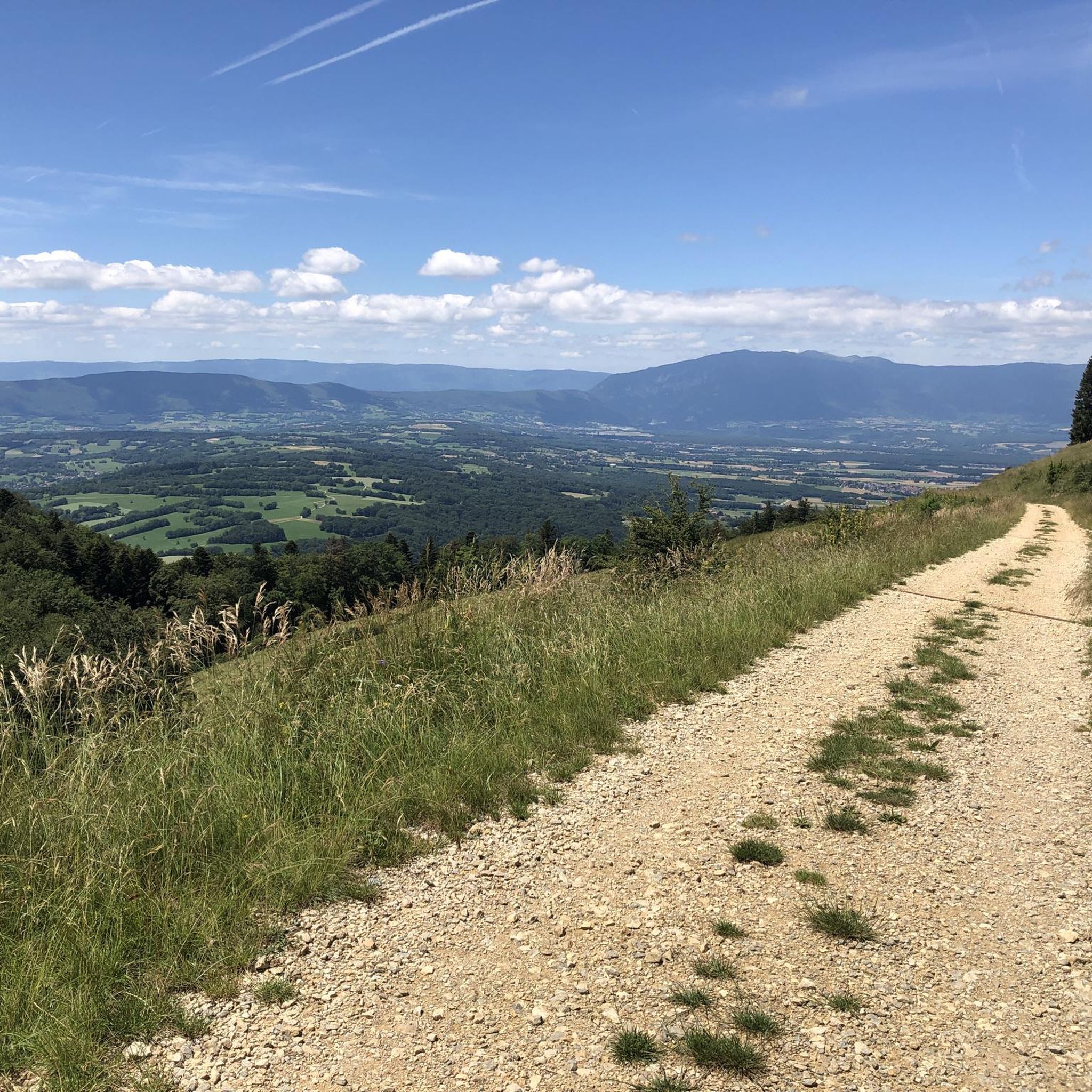
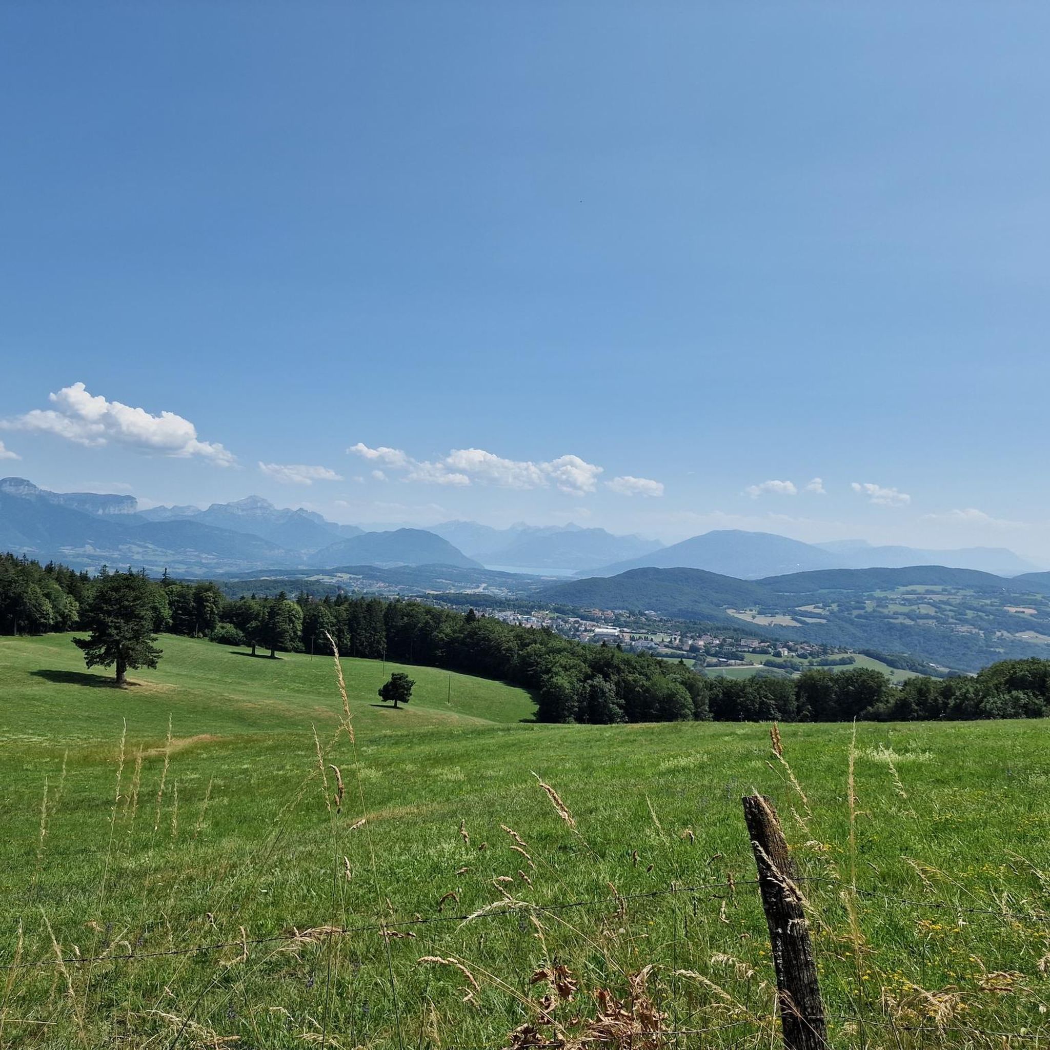
Hiking around Cruseilles offers diverse landscapes, from the prominent Mont Salève to the tranquil Usses Valley. The region features a blend of mountainous terrain, river valleys, and picturesque lakes. Hikers can explore conifer forests, alpine pastures, and areas with panoramic views of the Mont-Blanc massif and Jura mountains. This varied topography provides a range of hiking experiences for different fitness levels.
Best hiking trails around Cruseilles
- The most popular hiking route is Lac des Dronières – Les Dronières loop from Cruseilles, a 3.6 miles (5.7 km) trail that takes 1 hour 32 minutes to complete. This easy route circles the accessible Lac des Dronières.
- Another top favourite among local hikers is Château des Avenières – Les Dronières loop from Cruseilles, a moderate 6.7 miles (10.7 km) path. This route connects the historic Château des Avenières with the natural park area, offering varied scenery.
- Local hikers also love the Plan du Salève – Distant View of the Alps loop from La Grande Montagne (parking), a 3.3 miles (5.4 km) trail leading through the Mont Salève area, often completed in about 1 hour 34 minutes.
- Hiking around Cruseilles is defined by the prominent Mont Salève, the Usses Valley, and the Lac des Dronières. The network offers options for different ability levels, from easy lakeside walks to moderate ascents.
- The routes in Cruseilles are highly rated by the komoot community with an average score of 4.4 stars from over 70 reviews. More than 800 hikers have used komoot to explore Cruseilles's varied terrain.
Last updated: July 9, 2026
4.7
(7)
85
hikers
5.73km
01:32
60m
60m
Easy hike. Great for any fitness level. Easily-accessible paths. Suitable for all skill levels.
5.0
(6)
57
hikers
10.4km
03:09
350m
350m
Moderate hike. Good fitness required. Easily-accessible paths. Suitable for all skill levels.

Sign up for free
5.0
(1)
35
hikers
13.1km
03:58
440m
440m
Moderate hike. Good fitness required. Easily-accessible paths. Suitable for all skill levels.
5.0
(2)
24
hikers
7.36km
02:16
260m
260m
Moderate hike. Good fitness required. Easily-accessible paths. Suitable for all skill levels.
17
hikers
16.0km
04:57
580m
580m
Moderate hike. Good fitness required. Easily-accessible paths. Suitable for all skill levels.
Get access to more routes and recommendations from other explorers.
Sign up for free
Already have an account?
Our route recommendations are based on thousands of hikes, rides, and runs completed by other people on komoot.
Start today with a free account
Your next adventure awaits.
Login or Signup

Tips from the Community


The Bastian Tower alone is worth a detour; the sweeping view of Lake Geneva makes it a magical experience.
0
0

Point of intersection the Grand Piton Altitude 1379m
0
0
Intersection point Les Dronières Altitude 790m
0
0

magnificent walk to the plan with a 360 degree view
0
0

Once you pass the Pitons pass, you think you're almost there! 🥵
0
0

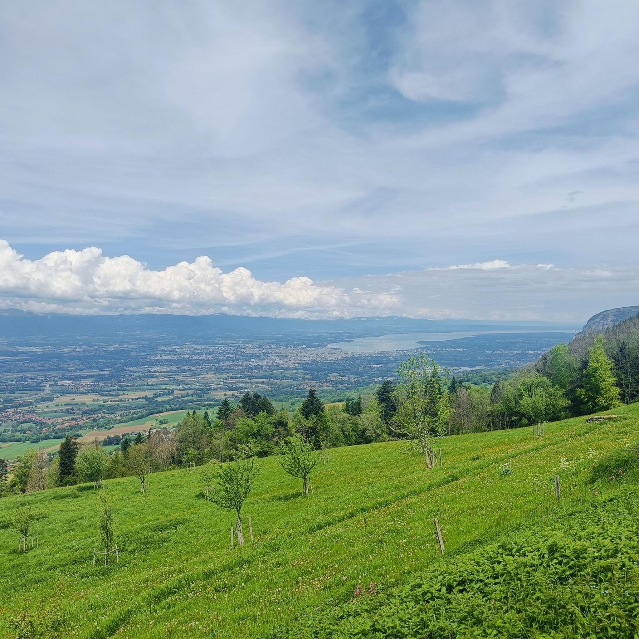
From the Bastian Tower, a few meters from the highest point of the Salève massif, the view of Geneva and Lake Geneva is magnificent.
0
0
Frequently Asked Questions
How many hiking trails are available around Cruseilles?
There are over 20 hiking trails around Cruseilles, offering a diverse range of experiences. You'll find options from easy strolls to more challenging ascents, catering to various fitness levels.
Are there any easy, family-friendly hikes in Cruseilles?
Yes, Cruseilles offers several easy and family-friendly options. The area around Lake Dronières and the Les Dronières Nature Park is particularly suitable, with accessible paths and amenities. A great example is the Lac des Dronières – Les Dronières loop from Cruseilles, which is an easy 5.7 km trail.
What kind of views can I expect on hikes around Cruseilles?
Cruseilles is renowned for its breathtaking panoramic views. From trails on Mont Salève, you can often enjoy vistas of the Mont-Blanc massif, the Jura mountains, and the Geneva basin. Specific viewpoints like the View of Mont Blanc and Lake Annecy from Mont Salève offer truly spectacular scenery.
Are there any circular hiking routes in the Cruseilles area?
Yes, many of the trails around Cruseilles are designed as circular routes, allowing you to start and end at the same point. For instance, the Plan du Salève – Distant View of the Alps loop from La Grande Montagne (parking) is a popular circular option on Mont Salève.
What are the more challenging hiking options near Cruseilles?
For experienced hikers seeking a challenge, Mont Salève offers more demanding routes with significant elevation changes. Trails like the historic Pas de l'Échelle or the Orjobet trail (known for exposed passages) provide a sporty experience. A moderate option is the Distant View of the Alps – Château des Avenières loop from Cruseilles, which covers 16 km with notable ascents.
Are there any historical landmarks or points of interest along the hiking trails?
Absolutely. The region is rich in history and natural beauty. You can explore areas near the historic Château des Avenières, or visit the impressive Pont de la Caille, a 19th-century bridge spanning the Usses torrent. The Usses Valley itself offers picturesque walks through orchards and past traditional farms.
What do other hikers say about the trails in Cruseilles?
The hiking trails in Cruseilles are highly regarded by the komoot community, with an average rating of 4.4 stars from over 70 reviews. Hikers often praise the diverse landscapes, from tranquil lakeside paths to panoramic mountain viewpoints, and the well-maintained routes suitable for various abilities.
Can I find trails that offer views of lakes or rivers?
Yes, the region offers beautiful water features. The Lake Dronières area provides easy loops right by the water. Additionally, the Usses Valley features picturesque walks along the Usses river, and many viewpoints on Mont Salève offer distant views of Lake Geneva and Lake Annecy, such as the View of Lake Geneva.
Are there any hikes that combine natural beauty with cultural sites?
Certainly. The Château des Avenières – Les Dronières loop from Cruseilles is a moderate route that connects the historic Château des Avenières with the natural park area, offering a blend of cultural interest and scenic landscapes.
What kind of natural environments will I encounter on hikes around Cruseilles?
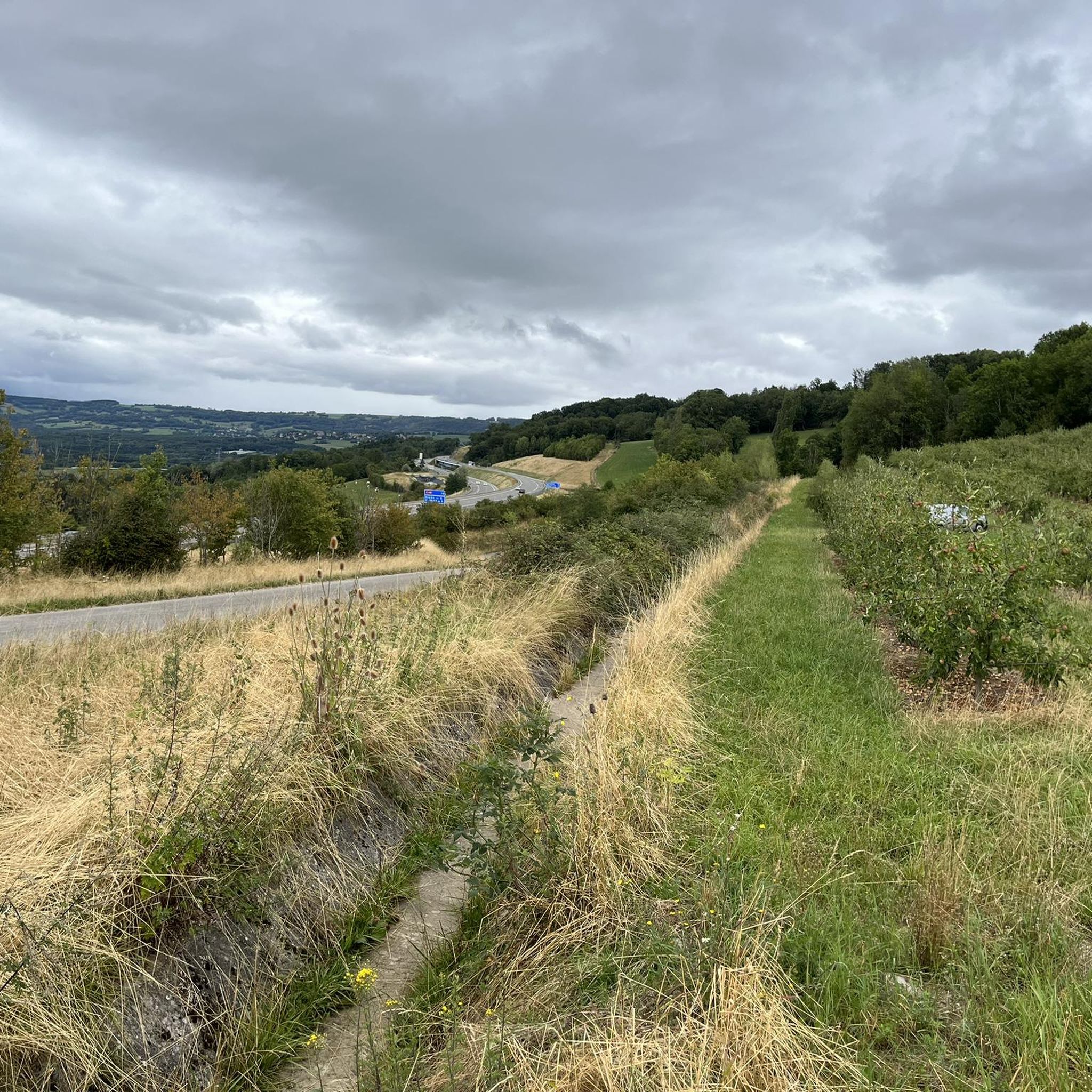
You'll experience a rich variety of natural environments. Expect to walk through peaceful conifer forests, vibrant alpine pastures adorned with wildflowers, and more rugged mineral environments on higher elevations. The Usses Valley also offers charming rural landscapes with orchards and farms.
Are there good parking options for accessing hiking trails in Cruseilles?
Yes, many popular trailheads around Cruseilles offer convenient parking. For example, the Plan du Salève – Distant View of the Alps loop starts from a parking area at La Grande Montagne, making access straightforward for hikers.
Most popular routes around Cruseilles
Most popular attractions around Cruseilles

Get inspired with the komoot mobile app


Explore more
Browse the best Hikes in other regions.
