The best mountain hikes around Cruseilles
4.8
(12)
68
hikers
9
hikes
Mountaineering routes around Cruseilles are set within the Haute-Savoie department, characterized by its proximity to the majestic mountains of the Bornes massif and the prominent Mont Salève. The region features diverse natural elements, including rocky faces, steep summits, and scenic valleys. Mountaineers can expect varied terrain, from challenging ascents to paths offering panoramic views of Lake Geneva and the Northern Alps.
Best mountaineering routes around Cruseilles
- The most popular mountaineering route is Tête du Parmelan – Le Grand Montoir loop…
Last updated: July 13, 2026
4.3
(6)
25
hikers
15.7km
07:18
1,180m
1,180m
Hard mountaineering route. Very good fitness required. Sure-footedness, sturdy shoes and alpine experience required.
5.0
(4)
16
hikers
9.40km
04:29
740m
740m
Hard mountaineering route. Good fitness required. Sure-footedness, sturdy shoes and alpine experience required.

Sign up for free
6
hikers
7.02km
03:16
590m
590m
Moderate mountaineering route. Good fitness required. Mostly accessible paths. Sure-footedness required.
9
hikers
2.00km
00:59
190m
190m
Hard mountaineering route. Great for any fitness level. Sure-footedness, sturdy shoes and alpine experience required.
5.0
(1)
7
hikers
Moderate mountaineering route. Good fitness required. Mostly accessible paths. Sure-footedness required.
Get access to more routes and recommendations from other explorers.
Sign up for free
Already have an account?
Our route recommendations are based on thousands of hikes, rides, and runs completed by other people on komoot.
Start today with a free account
Your next adventure awaits.
Login or Signup
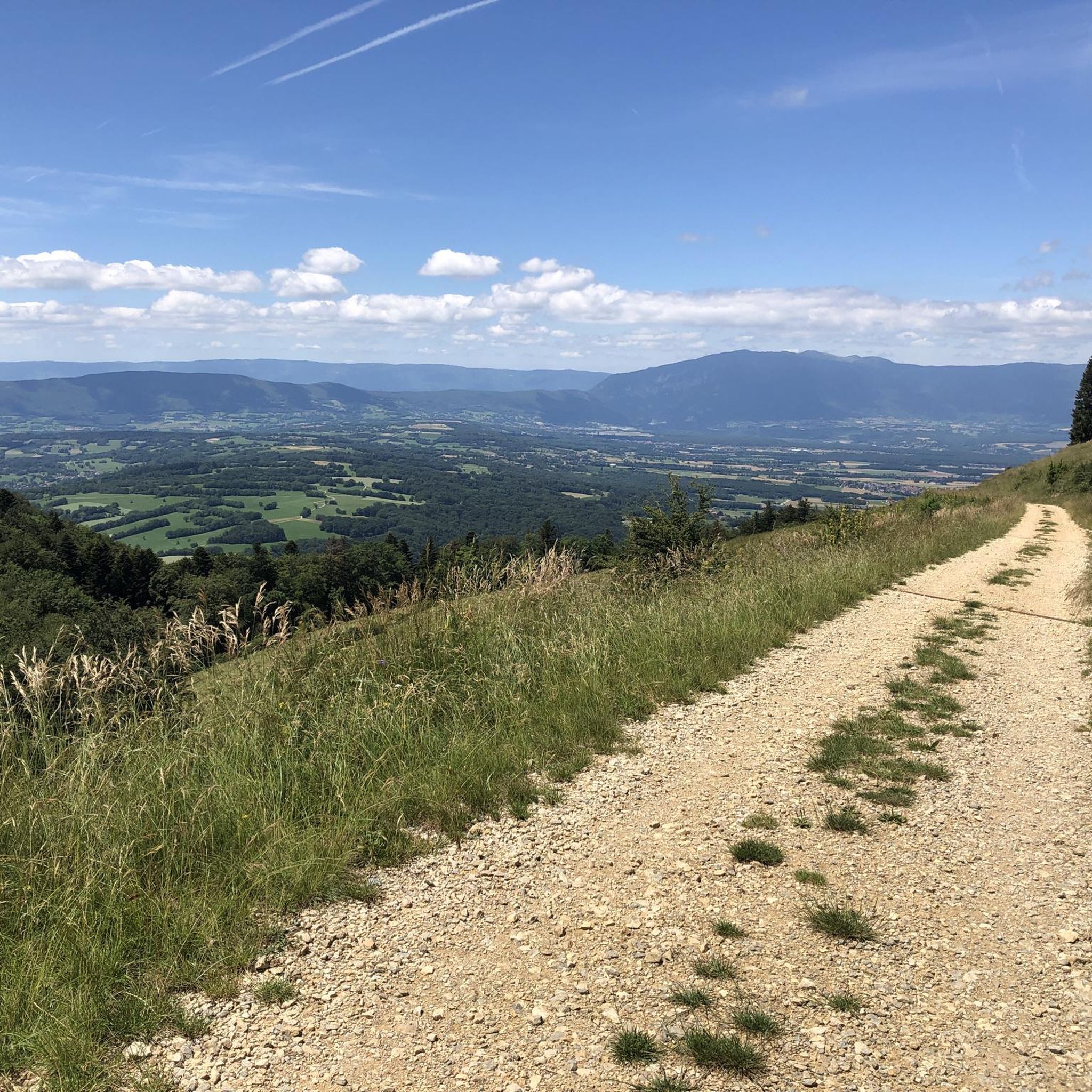
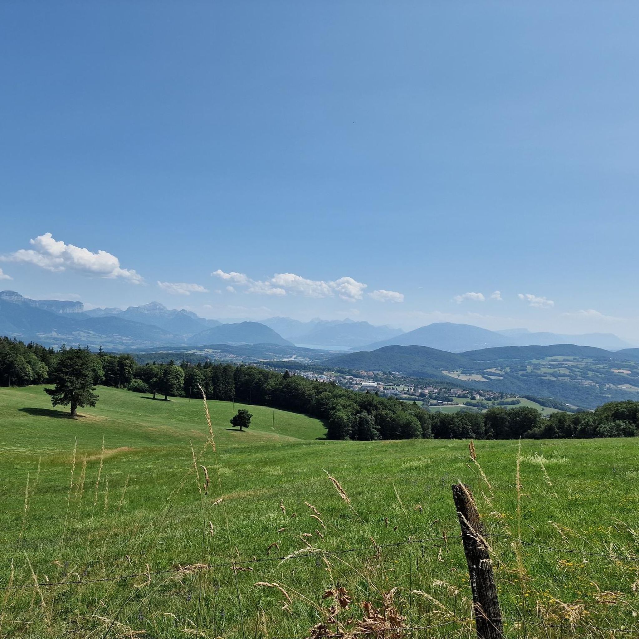
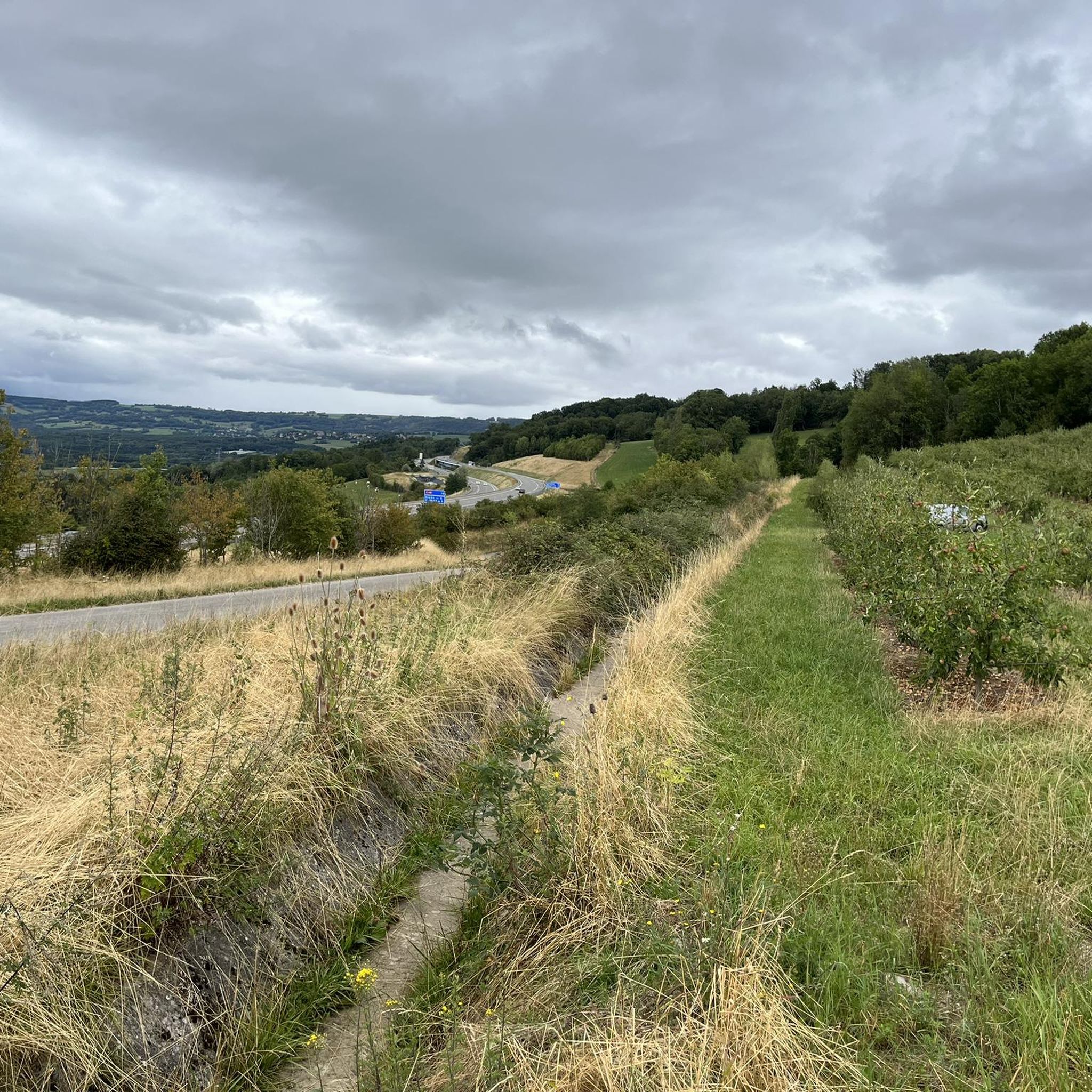
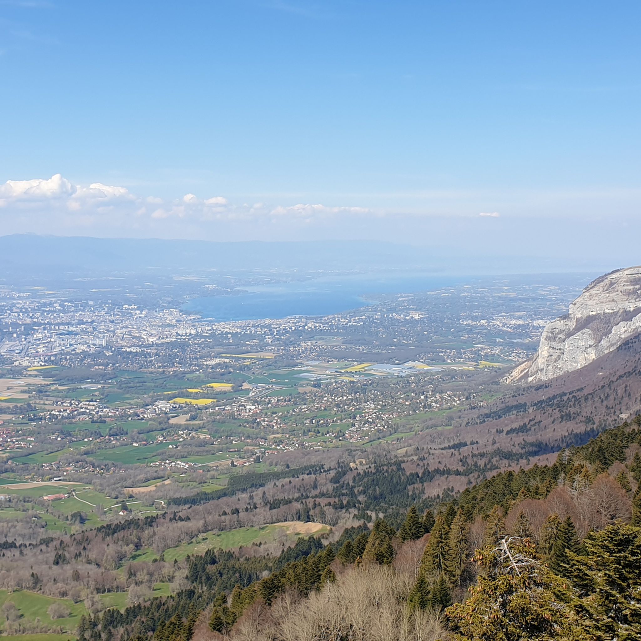
Tips from the Community

And here is the story behind the flag on the spectacular La Corraterie mountain path: It is not! the Swiss flag but the coat of arms of Savoy (meaning no white cross, but the bars go to the edge). It all began in the late 1960s. American students from the nearby Adventist campus in Collonges-sous-Salève climbed the steep rock face after a boozy night. Since you have a direct view of Geneva from the mountain, they were firmly convinced they were in Switzerland. They painted a huge Swiss flag on the rocks. However, Mont Salève is geographically located in France (Haute-Savoie region). The local French found the Swiss flag on their mountain to be an affront. Local activists climbed up and painted over the Swiss cross, turning it into the Savoyard coat of arms (Cross of Savoy) to emphasize the French-Savoyard affiliation. To this day, unknown people (mostly from Geneva) regularly climb the wall at night to shorten the bars and turn the Savoyard coat of arms back into a Swiss flag.
0
0

The section from La Muraz to Cruseille, passing through Le Sappey, and then the climb from Cruseille to La Croisette are really nice. Beautiful road, few cars and gentle slope!
0
0

Le Trou de la Tine (Trou of the Tine Cave) was formed by erosion on the flank of Mont Salève. It is a deep, sunken hole shaped like an open-topped barrel ("Tine" is an old dialect term for barrel, "trou" means hole). The cave's ceiling has collapsed due to erosion, revealing a natural "barrel" with a side opening. One can walk into the "barrel" through this side opening.
0
0

A great chalet run by a very kind family and where we were able to buy fresh tomme cheese.
0
0
A bit dizzying but when the weather conditions are good and you watch where you put your feet, everything is fine!
0
0


Col de Croissette. What a beautiful tour. A long climb with percentages up to 18% brings you to the plateau of the mountain. There with rolling roads and paths towards the west to enter the descent and via the North back to Geneva.
0
0
Frequently Asked Questions
What kind of terrain can I expect on mountaineering routes near Cruseilles?
Mountaineering around Cruseilles offers a diverse range of terrain. You'll encounter the rocky faces of Mont Salève, known for its climbing opportunities, and the rugged, unspoiled character of Pointe de la Beccaz. Routes can feature challenging ascents, steep summits, and scenic valleys, often providing panoramic views of Lake Geneva, the Jura Mountains, and even Mont Blanc on clear days.
Are there mountaineering routes suitable for beginners around Cruseilles?
While many routes are challenging, there are options for those with moderate experience. For example, the Orjobet Cave – Croisette Pass loop from Collonges-sous-Salève is a moderate route that offers a good introduction to the region's terrain. It's always recommended to choose routes that match your skill level and fitness.
Are there challenging mountaineering routes for experienced climbers near Cruseilles?
Absolutely. The region is known for its demanding terrain. Routes like the Tête du Parmelan – Le Grand Montoir loop from Villaz offer significant elevation gain and are rated as difficult. The Pointe de la Beccaz, in particular, is known for its challenging rock climbing and high mountain experiences, appealing to those seeking a true wilderness adventure.
Are there circular mountaineering routes available around Cruseilles?
Yes, several routes are designed as loops, allowing you to start and finish at the same point. Examples include the Crossing the trou de la roche – La Coraterie Cliff loop from Collonges-sous-Salève and the Ferrata Pomiers loop from Chartreuse de Pomier, which offers a varied terrain experience.
What scenic viewpoints can I find on mountaineering routes near Cruseilles?
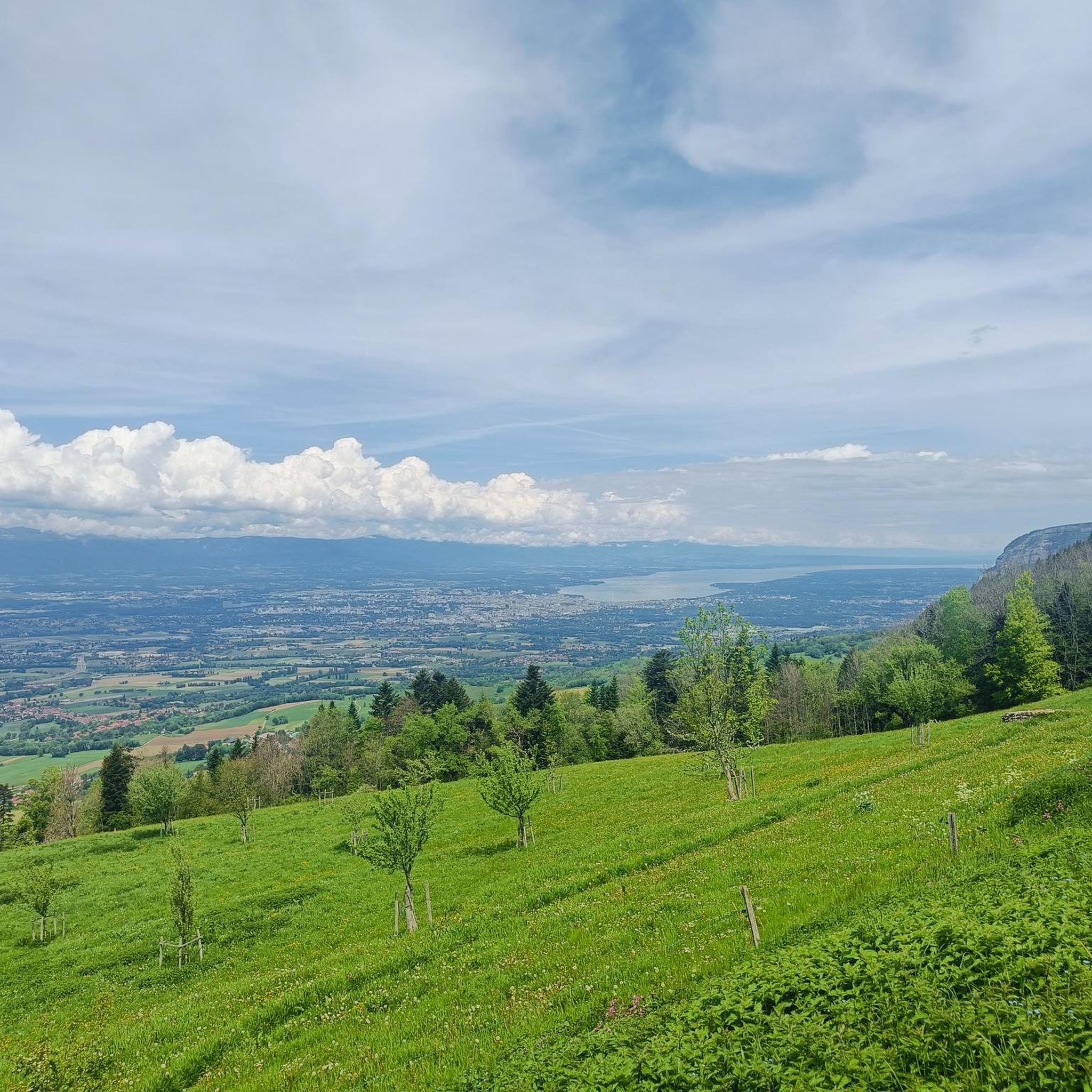
The region is rich with breathtaking vistas. From Mont Salève, often called 'Geneva's balcony,' you can enjoy panoramic views of Lake Geneva, the Geneva basin, and the Jura Mountains. The Pointe de la Beccaz also offers magnificent 360° views of Lake Annecy, the Northern Alps, and Mont Blanc. You can also find specific viewpoints like Breathtaking view of the lake and mountains or View of Mont Blanc and Lake Annecy from Mont Salève.
Are there any interesting natural features or landmarks to explore along the routes?
Yes, the area boasts several notable natural features. You might encounter the Orjobet Cave or the The Trou de la Tine. The historic Pont de la Caille, spanning the Usses torrent, also offers striking views of the gorges. The Dronières Nature Park within Cruseilles provides a different kind of natural experience with its wildlife park and lake.
What is the best time of year for mountaineering around Cruseilles?
The ideal time for mountaineering around Cruseilles is generally from spring through autumn when the weather is more stable and trails are clear of snow. During winter, Mont Salève transforms into a spot for snowshoeing and cross-country skiing, offering different outdoor activities.
Can I bring my dog on mountaineering routes in Cruseilles?
While many outdoor areas in France are dog-friendly, specific rules can vary by trail, protected area, or private land. It's always best to check local signage at trailheads for any restrictions, especially regarding leashes or access to nature reserves. Always ensure your dog is well-behaved and under control.
Where can I park when accessing mountaineering trails near Cruseilles?
Parking availability varies depending on the specific trailhead. Many popular starting points, especially around Mont Salève or near villages like Collonges-sous-Salève and Villaz, will have designated parking areas. It's advisable to research the specific route you plan to take for detailed parking information.
Is public transport available to reach mountaineering trailheads from Cruseilles?
Cruseilles is situated between Annecy and Geneva, both of which have good public transport links. While direct public transport to every trailhead might be limited, you can often reach nearby towns or villages by bus, and then either walk or arrange for local transport to the starting points of the routes. Checking local bus schedules for the Haute-Savoie region is recommended.
What do other mountaineers enjoy the most about mountaineering in Cruseilles?
The mountaineering routes around Cruseilles are highly rated by the komoot community, with an average score of 4.9 stars from more than 10 reviews. Mountaineers frequently praise the expansive mountain views, the challenging yet rewarding terrain, and the opportunity to explore diverse natural landscapes, from rocky faces to scenic valleys.
Are there less crowded mountaineering alternatives to popular spots like Mont Salève?
If you're looking for a more secluded experience, the Pointe de la Beccaz in the Bornes massif offers a rugged and less crowded mountaineering experience. It's known for its natural, unspoiled character with fewer marked paths, appealing to adventurers seeking a true wilderness feel away from the more frequented areas of Mont Salève.
Most popular routes around Cruseilles
Most popular attractions around Cruseilles

Get inspired with the komoot mobile app


Explore more
Browse the best Mountain Hikes & Routes in other regions.
