The 14 Most Amazing Peaks around Villa De Mazo
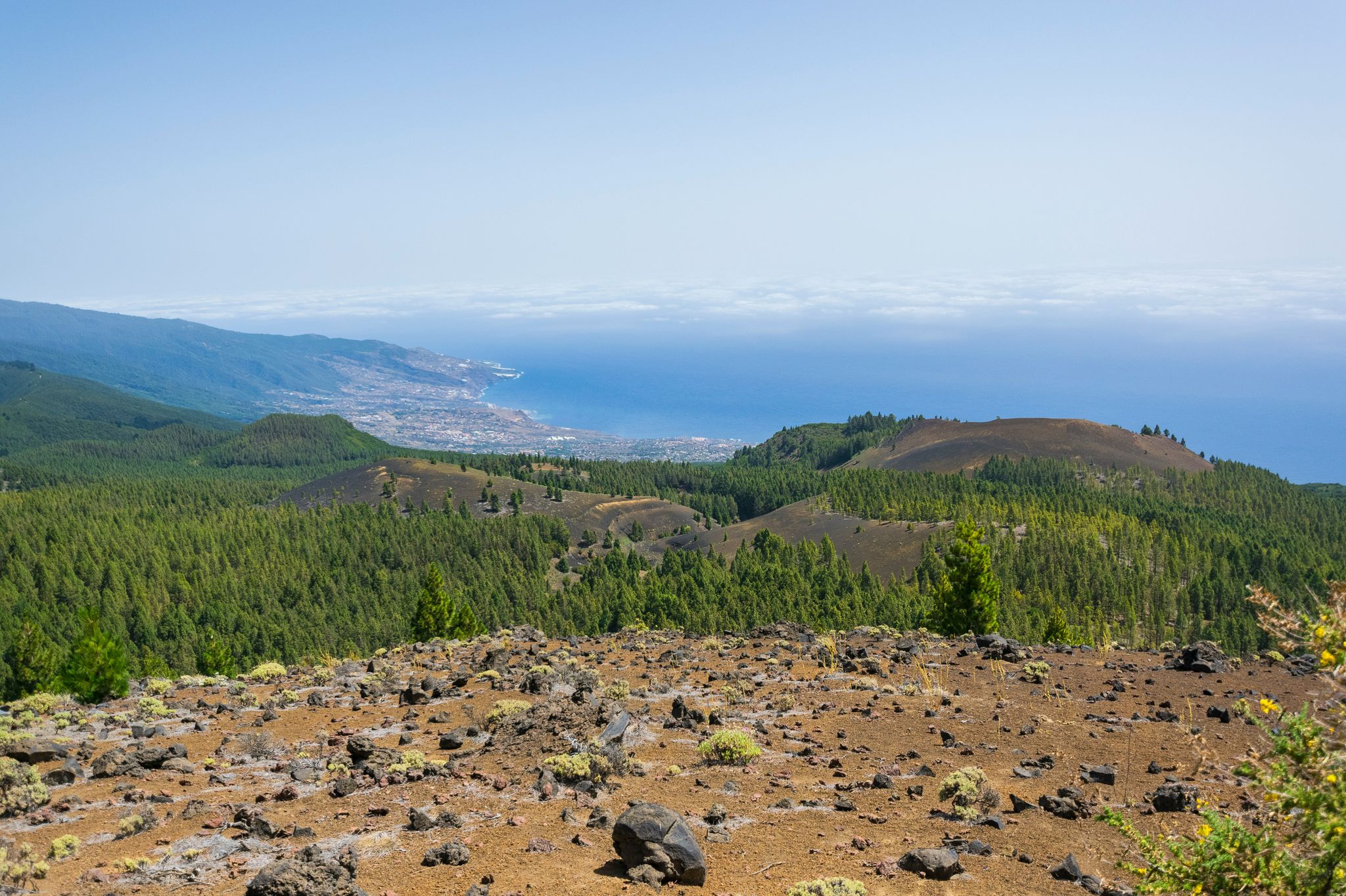
Best mountain peaks around Villa De Mazo are found on the island of La Palma, offering diverse landscapes for exploration. This region is characterized by its volcanic terrain and significant elevation changes. The area provides numerous opportunities to experience the natural environment, from ancient volcanic structures to high viewpoints.
Best mountain peaks around Villa De Mazo
- The most popular mountain peaks is Teneguía Volcano, a volcano that erupted in 1971. From its summit, visitors can observe the powerful forces…
Last updated: July 6, 2026
Teneguía Volcano
Highlight • Volcano
Translated by Google •
Tip by

Martín Volcano
Highlight • Volcano
Translated by Google •
Tip by

Sign up now to discover places like this
Get recommendations on the best single tracks, peaks, & plenty of other exciting outdoor places.
Sign up for free
Birigoyo Peak
Highlight • Summit
Translated by Google •
Tip by

Roque Teneguía
Highlight • Natural Monument
Translated by Google •
Tip by

Roque Niquiomo
Highlight • Summit
Translated by Google •
Tip by

Sign up for free to discover even more peaks around Villa De Mazo.
Sign up for free
Already have an account?
Start today with a free account
Your next adventure awaits.
Login or Signup
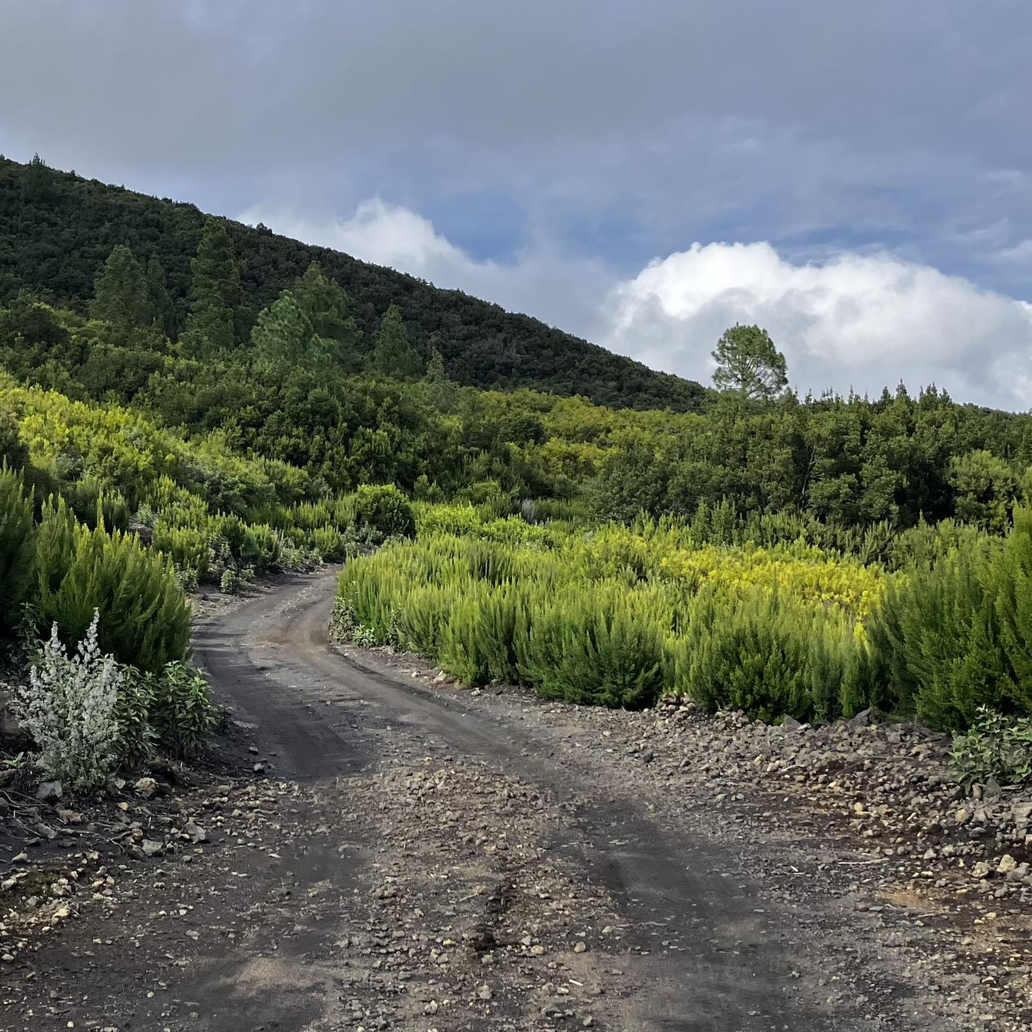
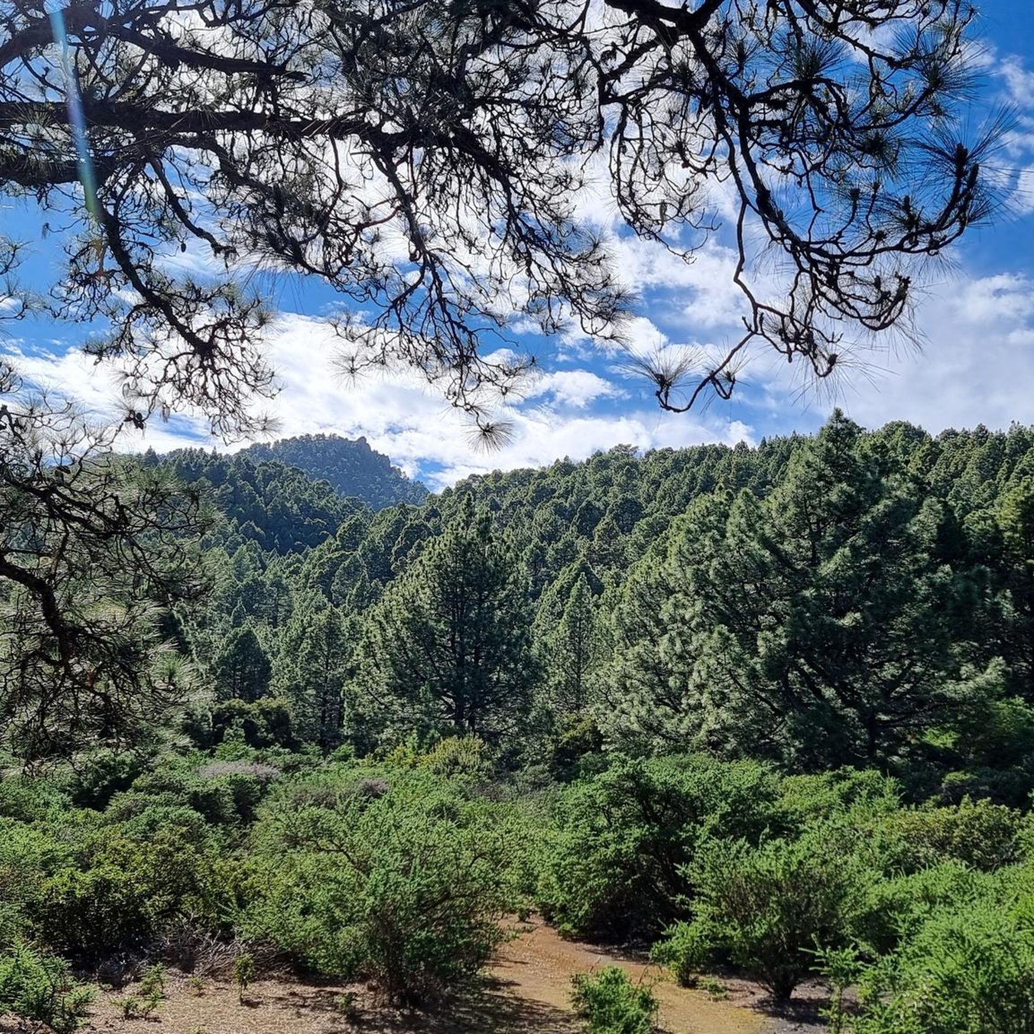
Other adventures around Villa De Mazo

Tips from the Community

Standing in front of a volcano is quite an experience. A look into the crater is a must!
0
0

A small botanical highlight: The plant "Cheirolophus junonianus (Svent.) Holub" is found only on this small rock and nowhere else.
1
0

Magnificent volcanic landscape with Mediterranean flair
0
0

Wonderful view from Roque Niquiomo! No fear of heights and sure-footedness are required to go here.
0
0

Pico Birigoyo is very exposed to the trade winds that sweep over the ridge. The practically 360° all-round view is simply phenomenal. It is worth watching the sunrise or sunset here. It's not too far to the parking lot at El Pilar.
4
0

A real highlight: great views. Unfortunately, there were clouds here that kept blocking the view. The climb is very difficult and at the end you have to climb a bit
0
0

The way there is special and then there is the "light" rock in the otherwise black surroundings.
0
1

The look into the crater is absolutely worthwhile - not only because of the play of colors of the different rocks. Finally, a word on the topic of hiking equipment: Mandatory due to the many lava/ash fields and differences in altitude!
1
1
Frequently Asked Questions
What are the most popular mountain peaks to visit around Villa De Mazo?
The most popular mountain peaks in the area include Teneguía Volcano, known for its historical eruption in 1971 and fantastic views. Another favorite is Martín Volcano, offering panoramic views of the southern tip of La Palma and neighboring islands. Birigoyo Peak on the Cumbre Vieja ridge also provides extensive views across the island's volcanic landscape.
Are there any challenging mountain routes or climbs near Villa De Mazo?
Yes, several peaks offer challenging routes. Martín Volcano is categorized as challenging, especially when navigating in and out of its crater. Birigoyo Peak also falls into the challenging category, as does Roque Niquiomo, which can be climbed via a very steep path to its impressive summit.
What kind of natural features can I expect to see on the mountain peaks around Villa De Mazo?
The mountain peaks around Villa De Mazo are primarily characterized by their volcanic origin. You will encounter diverse volcanic landscapes, including craters, lava fields, and ash formations. Many peaks, such as Teneguía Volcano and Martín Volcano, are active or recently active volcanoes, showcasing the powerful geological forces of La Palma.
Are there any historical or cultural sites on the mountain peaks?
Yes, Roque Teneguía is a protected natural monument that also serves as a historical site. It features petroglyphs created by the indigenous people of La Palma, offering a glimpse into the island's ancient past.
What are the best mountain peaks for panoramic views in the Villa De Mazo area?
For breathtaking panoramic views, consider Martín Volcano, which offers vistas of the southern tip of La Palma and neighboring islands like Tenerife and La Gomera. Birigoyo Peak provides extensive coast-to-coast views across the island's volcanic ridge. Roque Niquiomo also offers a wonderful view of the island's east side.
What outdoor activities can I do near the mountain peaks around Villa De Mazo?
The region offers a variety of outdoor activities. You can explore numerous hiking trails, including routes like the 'Pine Forest Trail – Route of the Volcanoes loop' or the 'Volcán de Martín Loop'. For cyclists, there are road cycling routes such as the 'Refugio El Pilar – Refugio del Pilar loop' and MTB trails like the 'Vuelta al Cumbre Vieja por la pista Oeste'. You can find more details on these activities in the hiking, road cycling, and MTB guides for Villa De Mazo.
Are there any easy mountain hikes or walks suitable for families near Villa De Mazo?
While many peaks offer intermediate to challenging routes, the general area around Villa De Mazo provides diverse terrain. For easier walks, it's best to look for specific sections of trails or viewpoints that don't involve steep climbs. For example, the 'LP-301 Scenic Road – Refugio del Pilar loop' is an easy MTB route, which might indicate accessible paths in that area. Always check specific trail descriptions for suitability for families.
What is the best time of year to hike the mountain peaks in Villa De Mazo?
La Palma generally enjoys a mild climate year-round. However, for hiking the mountain peaks, the spring (April-May) and autumn (September-November) months are often ideal, offering pleasant temperatures and less chance of extreme weather. During winter, higher elevations can be windy and cloudy, as noted by visitors to Birigoyo Peak and Roque Niquiomo. Summer can be hot, especially at lower altitudes.
What should I be aware of when hiking volcanic peaks like Teneguía Volcano?
When hiking volcanic peaks like Teneguía Volcano, be prepared for potentially strong winds, especially at the summit, so an absolutely windproof jacket is recommended. The terrain can be uneven with lava scree, requiring sturdy footwear. Always check local conditions and weather forecasts before heading out.
What do visitors enjoy most about the mountain peaks around Villa De Mazo?
Visitors frequently highlight the sensational and gigantic views from the summits, often extending to neighboring islands. The unique volcanic landscapes, including craters and lava formations, are also a major draw. Many appreciate the feeling of experiencing the powerful forces of the earth, especially at sites like Teneguía Volcano.
Are there any circular hiking routes that include these mountain peaks?
Yes, the nearby hiking guide for Villa De Mazo features several circular routes. For instance, the 'Pine Forest Trail – Route of the Volcanoes loop from Cumbre Vieja Nature Park' and the 'Volcán de Martín Loop' are popular options that allow you to experience the volcanic landscape and peaks in a circular fashion. You can find more details in the hiking guide.
What is the typical trail distance for mountain hikes in the Villa De Mazo area?
Trail distances vary significantly depending on the route and difficulty. For example, the 'Pine Forest Trail – Route of the Volcanoes loop' is about 13 km, while the 'Volcán de Martín Loop' is nearly 19 km. Longer and more challenging routes, such as 'Montaña de Los Tomillos — circular by the trails PR-LP 16 and PR-LP 17 from Mazo', can extend to almost 25 km. Always check the specific route details for exact distances.
Most popular attractions around Villa De Mazo

Get inspired with the komoot mobile app


Explore more
See even more amazing summits around Villa De Mazo with these guides:
