The best cycling routes around Carnota
4.7
(78)
2,515
riders
20
rides
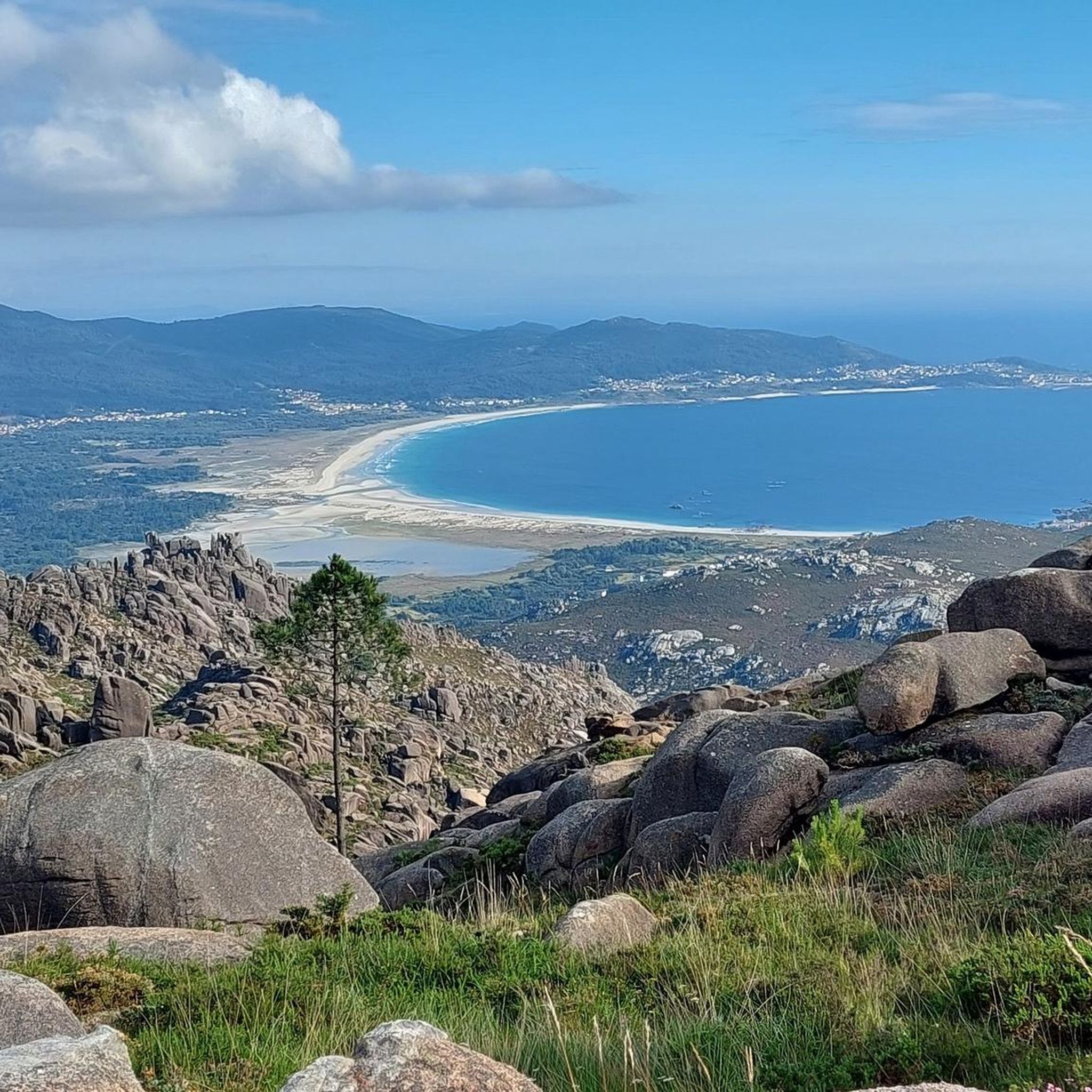
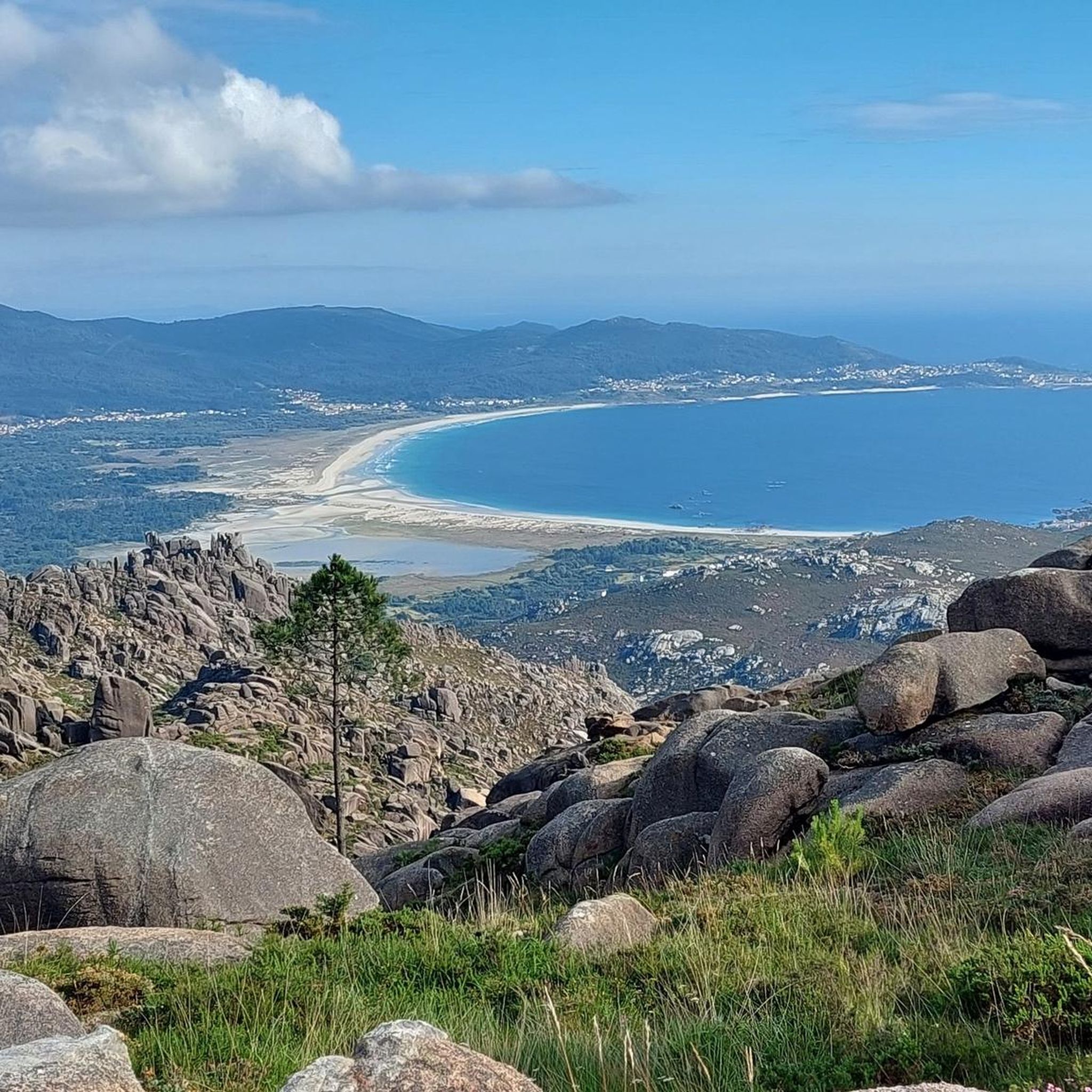
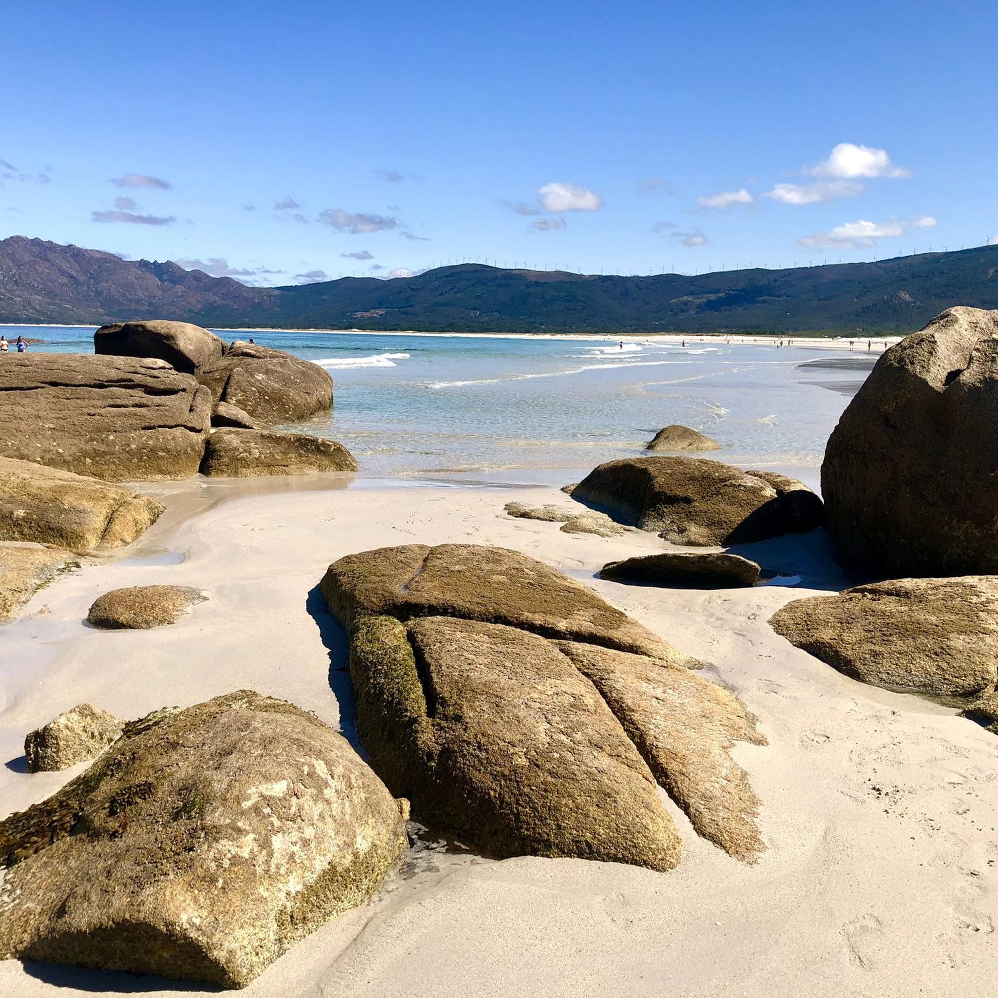
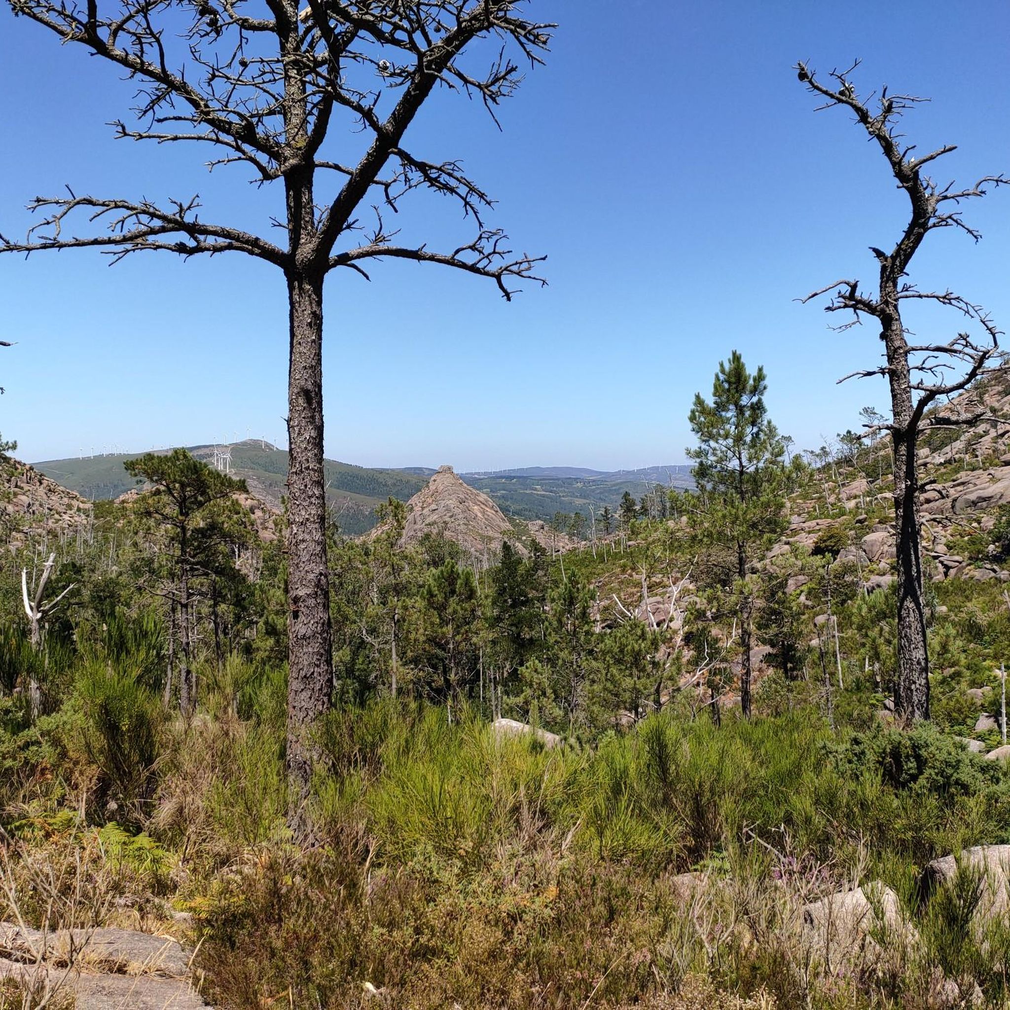
Touring cycling around Carnota offers diverse landscapes along Galicia's Costa da Morte. The region features an extensive coastline with long beaches and unique natural phenomena like the Ézaro Waterfall, Europe's only waterfall plunging directly into the sea. Inland, the terrain rises to include rugged mountains such as Mount Pindo, providing varied elevation and scenic viewpoints. Cyclists can navigate a mix of quiet paved roads and gravel paths, connecting coastal areas with more mountainous routes.
Best touring cycling routes around Carnota
- The most popular touring cycling route is San Pedro Beach, O Pindo – Port of Pindo loop from Carnota, a 29.8 miles (48.0 km) trail that takes 2 hours 53 minutes to complete, offering coastal views between the beach and the port.
- Another top favourite among local touring cyclists is View of Faro Punta Insua – Vouga Beach loop from Carnota, a moderate 16.7 miles (26.8 km) path. This route provides views of the lighthouse and passes by Vouga Beach.
- Local touring cyclists also love the Port of Pindo – San Pedro Beach, O Pindo loop from O Porto de Quilmas, a 32.0 miles (51.5 km) trail leading through coastal areas and near Mount Pindo, often completed in about 3 hours 33 minutes.
- Touring cycling around Carnota is defined by expansive beaches, rugged mountains, and unique coastal features. The network offers options for different ability levels, from moderate coastal rides to more difficult mountain ascents.
- The routes in Carnota are highly rated by the komoot community with an average score of 4.7 stars from over 50 reviews. More than 5000 touring cyclists have used komoot to explore Carnota's varied terrain.
Last updated: July 1, 2026
5.0
(2)
95
riders
51.8km
03:13
500m
500m
Hard bike ride. Very good fitness required. Mostly paved surfaces. Suitable for all skill levels.
4.3
(4)
266
riders
27.1km
01:42
270m
270m
Moderate bike ride. Good fitness required. Mostly paved surfaces. Suitable for all skill levels.

Sign up for free
4.8
(5)
52
riders
89.3km
06:09
1,230m
1,230m
Hard bike ride. Very good fitness required. Mostly paved surfaces. Suitable for all skill levels.
5.0
(2)
35
riders
63.0km
04:30
1,010m
1,010m
Hard bike ride. Very good fitness required. Mostly paved surfaces. Suitable for all skill levels.
5.0
(1)
23
riders
70.7km
04:26
730m
730m
Hard bike ride. Very good fitness required. Mostly paved surfaces. Suitable for all skill levels.
Get access to more routes and recommendations from other explorers.
Sign up for free
Already have an account?
Our route recommendations are based on thousands of hikes, rides, and runs completed by other people on komoot.
Start today with a free account
Your next adventure awaits.
Login or Signup
Tips from the Community

Located outside the center of Fisterra is a beach with turquoise waters.
0
0

A few specimens that will probably not last much longer, but the roofs are freshly covered, there is hope that these landscape-typical stores have a future.
2
0

The Sociedad Estatal de Salvamento y Seguridad Marítima, also known by the abbreviations SASEMAR and Salvamento Marítimo is a public institution responsible for maritime security in Spanish waters. It is placed under the direct control of the Ministry of Equipment via the General Directorate of merchant marine. (see the red ship) https://fr.wikipedia.org/wiki/Sociedad_de_Salvamento_y_Seguridad_Mar%C3%ADtima
3
0
Cée has a sheltered harbor on a deep sea inlet, which used to be a place for whaling. Until recently, the town was grayed by the present blast furnace industry, so that the nearby fishing town of Corcubion was more likely to invite you to take a break.
3
0
A little higher, on the AC 445, you have two official panorama points.
6
0
You can't see anything at the height of the highlinght because of the vegetation or a wall...
2
0
Corcubión is located on a small peninsula which, with a rectangular shape and surrounded by the municipality of Cee, invades the Atlantic Ocean between the Bay of Estorde and its estuary. In this small area, the highest reliefs are about 150 and 200 meters high, located in the center of the peninsula, from where they descend to the sea. On the hill opposite noon, sheltered from the wind and storms, stretches the town of Corcubión. The coast is basically rocky, with the exception of the part corresponding to the estuary which begins on this side at the Cape of Cee and where, after a sector of high coast where the castle of the Cardinal is located, is the beach of Quenxe and then the port of the city. https://es.wikipedia.org/wiki/Corcubi%C3%B3n
5
0
Mirador do Ezaro: The summit of the ascent is 274 meters (299.7 yd) above sea level. The gradient of this ascent is 264 m (288.7 yd), with a length of 1.8 kilometers (1.1 mi), with an average gradient of 14.75% and a maximum gradient of 28%. The first kilometer has an average gradient of 15% and the second kilometer 14.5%. The area with the highest slope, at 28%, it is 1 km (0.6 mi) from the summit. The final slopes of the ascent range from 16% to 18%. https://es.wikipedia.org/wiki/Mirador_de_%C3%89zaro https://www.altimetrias.net/aspbk/verPuerto.asp?id=685
3
0
Frequently Asked Questions
How many touring cycling routes are available in Carnota?
Carnota offers nearly 20 touring cycling routes, providing a variety of options for exploring the region's diverse landscapes. These routes are highly rated by the komoot community, with an average score of 4.7 stars.
What is the typical difficulty level of touring cycling routes in Carnota?
The routes in Carnota cater to various skill levels. While there are 4 moderate routes, the majority (15) are classified as difficult, often involving significant elevation changes as they traverse coastal areas and rugged mountains like Mount Pindo. For example, the Port of Pindo – San Pedro Beach, O Pindo loop from A Algaceira da Pedra Mariña is a challenging 69 km ride with over 700 meters of elevation gain.
Are there any family-friendly touring cycling routes in Carnota?
While many routes in Carnota are rated moderate to difficult due to the mountainous terrain and coastal climbs, families might find shorter, flatter sections along the extensive Carnota Beach or quieter paved roads suitable for a more relaxed ride. Always check the route details for elevation and distance to ensure it matches your family's ability.
What are some notable natural attractions I can see along the cycling routes?
Carnota's touring cycling routes often pass by stunning natural features. You can experience the unique Ézaro Viewpoint loop from Área Recreativa da Fervenza do Ézaro, which takes you near the Ézaro Waterfall, Europe's only waterfall plunging directly into the sea. The region also features the extensive Carnota Beach, a protected natural area vital for migratory birds, and the dramatic Mount Pindo, known as the 'Celtic Olympus'.
Are there any routes that offer panoramic viewpoints?
Yes, Carnota is rich in viewpoints. The View of Faro Punta Insua – Vouga Beach loop from Carnota offers views of the lighthouse and the coast. Additionally, the Lira and Louredo viewpoints provide stunning panoramic views of the Atlantic Ocean, perfect for a rest stop. You can also find impressive vistas from peaks like View from Pico da Madalena and View from Monte Aro.
What is the best time of year for touring cycling in Carnota?
The Costa da Morte region generally offers pleasant cycling conditions from spring through autumn. Summers are warm but often tempered by coastal breezes, while spring and autumn provide milder temperatures and fewer crowds. It's always advisable to check local weather forecasts before heading out, especially for mountain routes.
Can I bring my dog on the touring cycling routes?
While many outdoor areas in Galicia are dog-friendly, specific rules may apply to protected natural areas like Carnota Beach. When cycling, ensure your dog is well-behaved and on a leash where required, especially near wildlife or other visitors. Always carry water for your pet and clean up after them.
Are there any circular touring cycling routes in Carnota?
Yes, many of the touring cycling routes in Carnota are designed as loops, allowing you to start and end at the same point. Examples include the popular San Pedro Beach, O Pindo – Port of Pindo loop from Carnota and the Port of Pindo – San Pedro Beach, O Pindo loop from O Porto de Quilmas, offering convenient exploration of the region.
What cultural or historical sites can I explore while cycling in Carnota?
Carnota offers a blend of natural beauty and cultural heritage. You can visit one of Galicia's largest and most emblematic 'hórreos' (traditional grain stores) in Carnota itself. The mountains surrounding Carnota also contain numerous archaeological sites, and the nearby Fisterra Lighthouse and Kilometre Zero Marker, Cape Finisterre are significant landmarks on the Camino de Santiago.
Are there places to eat or drink along the cycling routes?
Carnota and its surrounding villages offer various cafes, restaurants, and bars, particularly in coastal areas and towns. While specific routes may not have facilities directly on the trail, planning your ride to pass through or near these settlements will provide opportunities for refreshments and meals. It's always a good idea to carry sufficient water and snacks.
What should I pack for a touring cycling trip in Carnota?
Given the varied terrain and coastal weather, it's advisable to pack layers of clothing, including waterproofs, even in warmer months. Essential items include a helmet, repair kit, sufficient water, snacks, sun protection, and a fully charged phone. For mountain routes, consider a GPS device or offline maps.
Is public transport available to access the cycling routes in Carnota?
Public transport options in rural Galicia, including Carnota, are generally limited compared to larger cities. While there might be local bus services connecting towns, direct access to specific trailheads via public transport can be challenging. Many visitors opt for personal vehicles or taxis to reach starting points. For more detailed information on local transport, you may consult the regional tourism website: visitacostadamorte.com.
Most popular attractions around Carnota

Get inspired with the komoot mobile app


Explore more
Browse the best Cycling routes in other regions.
