The best cycling routes around Hohenstein
4.5
(5303)
21,494
riders
447
rides
Touring cycling routes around Hohenstein traverse a landscape characterized by river valleys, forested areas, and varied terrain. The region offers routes along waterways like the Zorge river, through open fields, and into gently rolling hills. Cyclists can expect a mix of well-maintained paths and roads, with some routes featuring notable climbs.
Best touring cycling routes around Hohenstein
- The most popular touring cycling route is SB Self-Service Gift Cabinet – Church in Hattendorf loop from Rannenberg, a 6.1 miles (9.9…
Last updated: October 7, 2026
6
riders
9.87km
00:38
120m
120m
Easy bike ride. Great for any fitness level. Mostly paved surfaces. Suitable for all skill levels.
1
riders
19.0km
01:39
330m
330m
Hard bike ride. Good fitness required. You may need to push your bike for some segments of this route.

5.0
(3)
3
riders
9.77km
00:47
110m
110m
Easy bike ride. Great for any fitness level. Mostly paved surfaces. Suitable for all skill levels.
4.8
(4)
3
riders
Moderate bike ride. Good fitness required. Mostly paved surfaces. Suitable for all skill levels.
4.9
(10)
37
riders
31.3km
02:26
480m
480m
Hard bike ride. Very good fitness required. You may need to push your bike for some segments of this route.
Get access to more routes and recommendations from other explorers.
Already have an account?
Our route recommendations are based on thousands of hikes, rides, and runs completed by other people on komoot.
Start today with a free account
Your next adventure awaits.
Popular around Hohenstein

The National Natural Landscapes in Niedersachsen
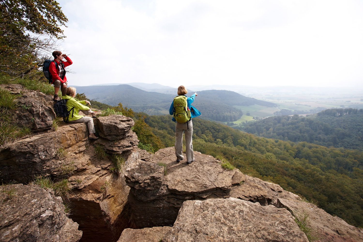
Weser Uplands Extreme – hiking for true adventurers
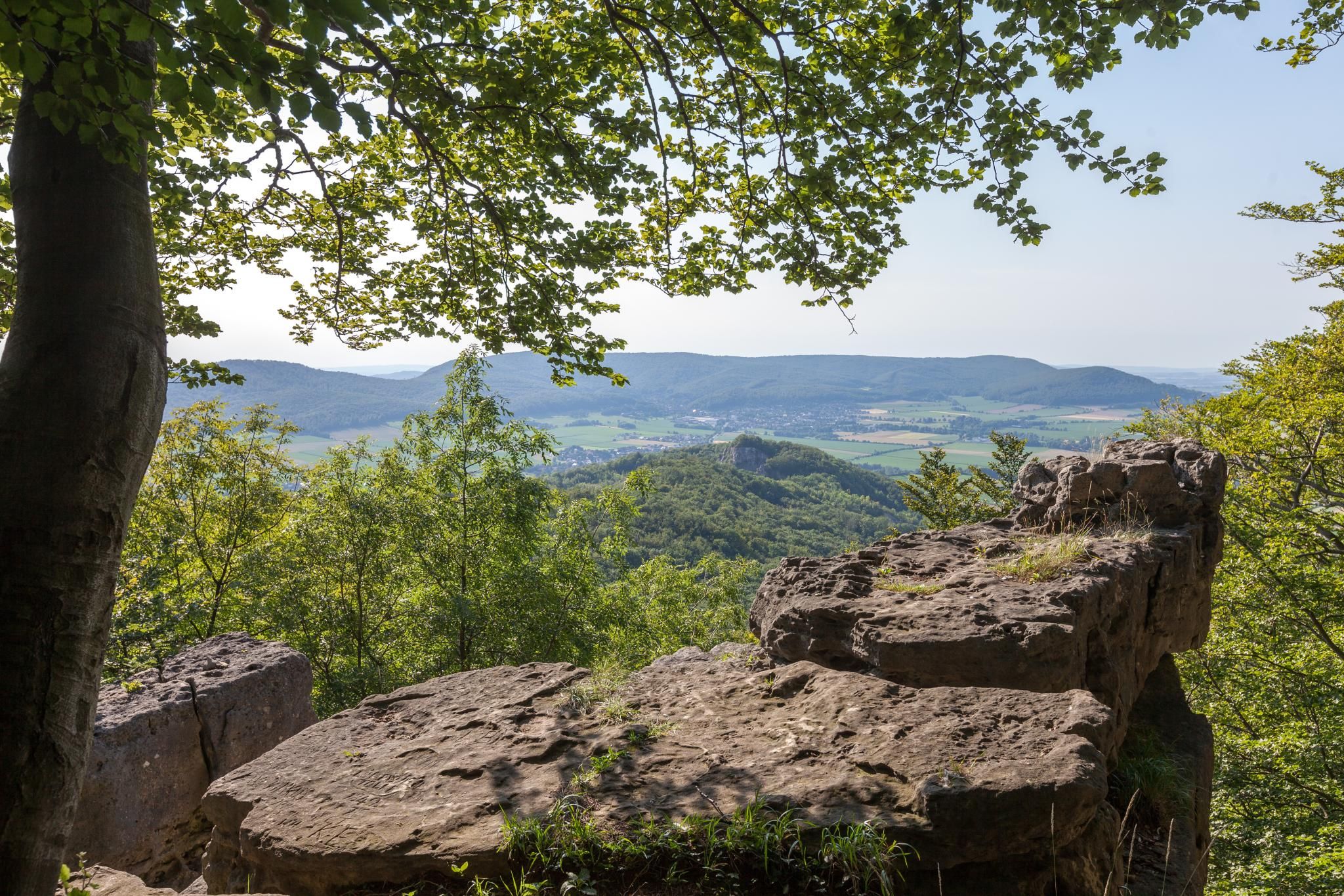
High up on cliffs and viewpoints in the Weserbergland region
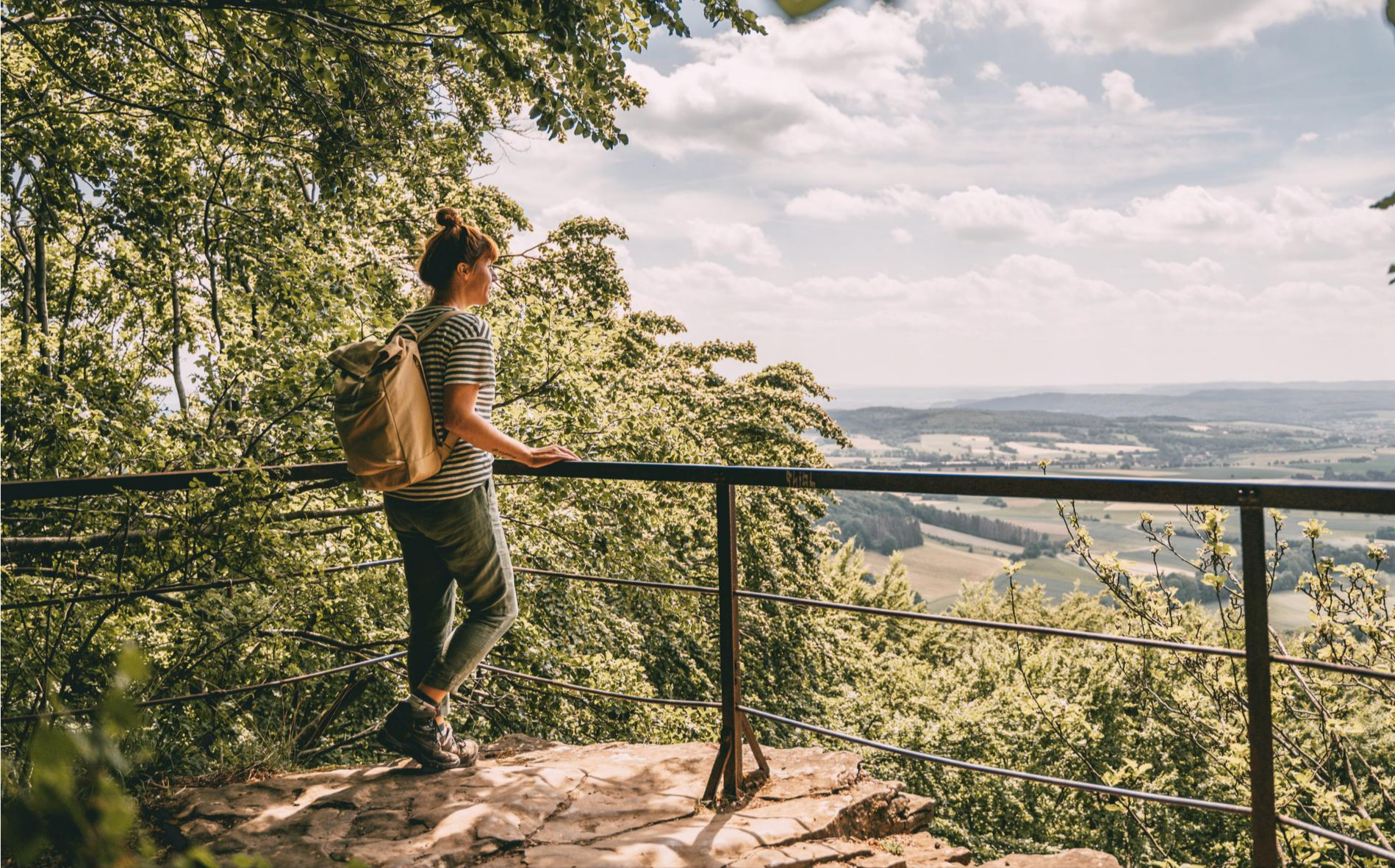
Fabulously scenic – hiking Germany’s Weserbergland Trail
Hiking around Hohenstein
Road Cycling Routes around Hohenstein
Running Trails around Hohenstein
MTB Trails around Hohenstein
Gravel biking around Hohenstein
Other adventures around Hohenstein


Tips from the Community

Accessible from both sides via an incline of over 10%.
0
0

The Süntel Tower is temporarily closed. It may reopen on April 1st, 2026.
2
0

Very friendly service, a fantastic selection of food, all excellently prepared! A great place to stop for a bite to eat, even if you're not cycling. It's said to get really busy here on weekends, so reservations are recommended.
0
0

Things are looking up, even if it doesn't look like it...
1
0

On October 16, 1962, two Republic F-84F Thunderstreak fighter jets crashed into the Hohe Egge mountain range in dense fog, killing both Belgian pilots. Thirty-nine years after the accident, a memorial was erected in Süntel to commemorate the two pilots. The memorial stands halfway up the Steinweg path between Falltal and the Süntel Tower – directly next to the crash site! It was erected by D. Hartmann of Hülsede.
1
0

From here you have a fantastic view!
0
0

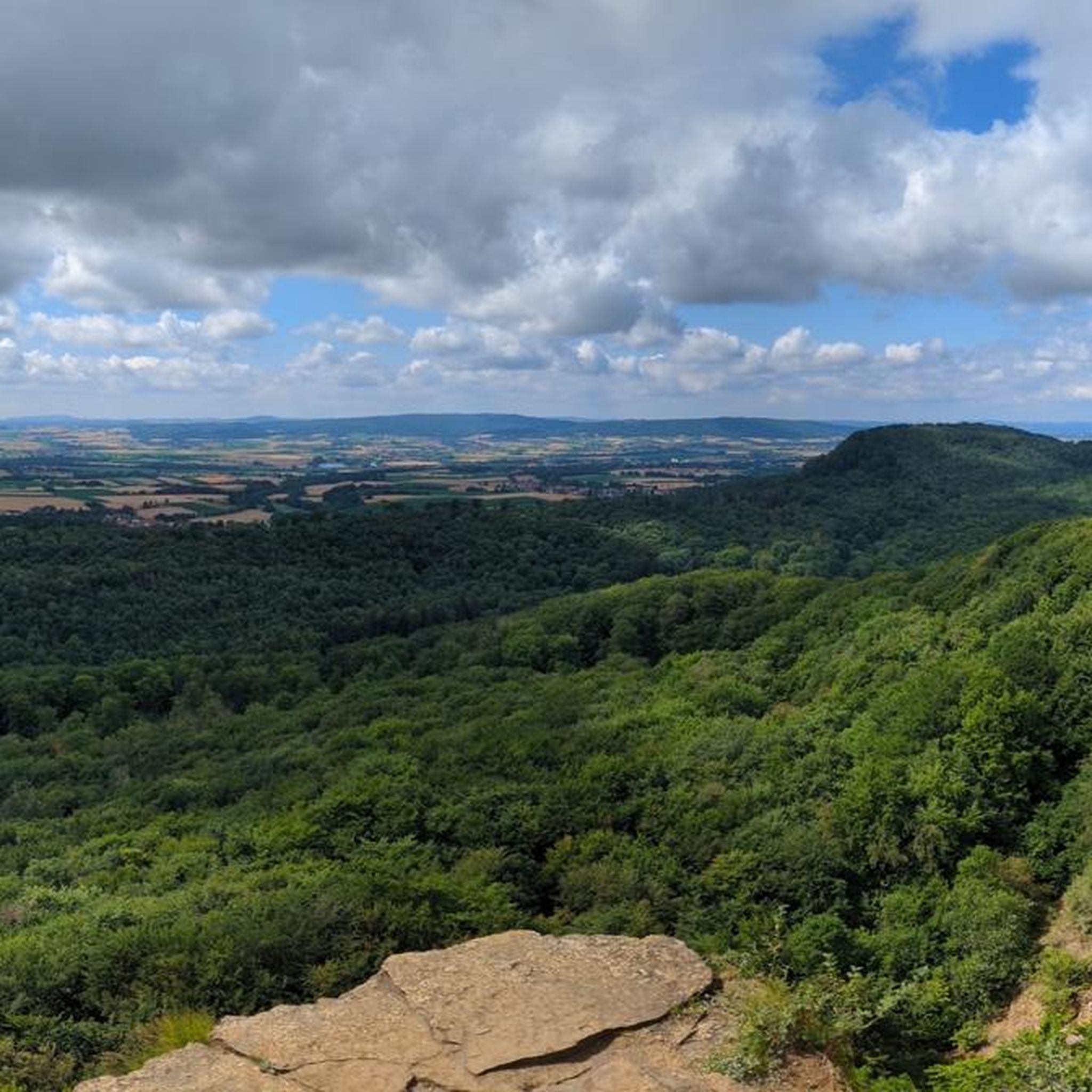
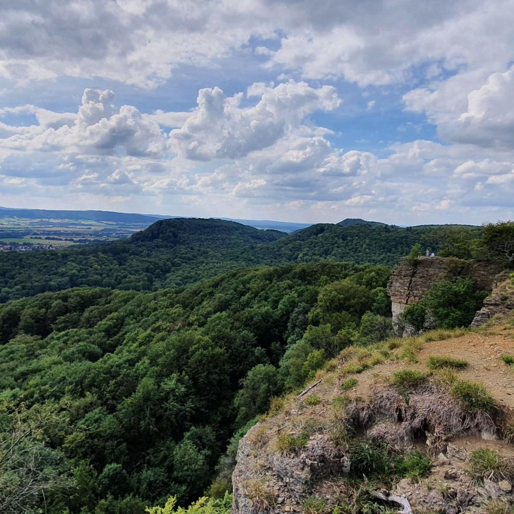
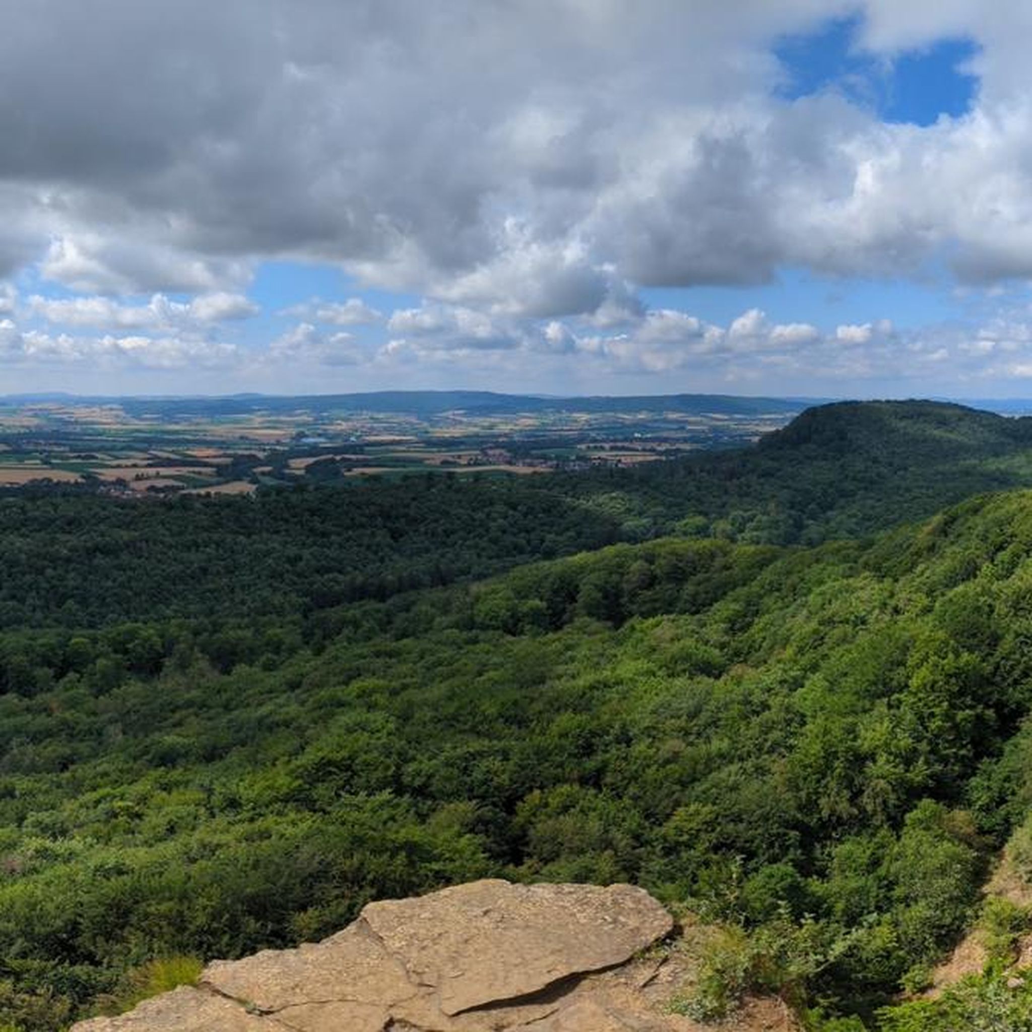
The Teufelskanzel (Devil's Pulpit) is a striking vantage point in the Weser Mountains near Hessisch Oldendorf, about 16 kilometers northwest of Rinteln. It is located on the Hohenstein, a wooded plateau at an altitude of approximately 340 meters, and offers impressive views over the Weser Valley and the surrounding Weser Uplands. The Teufelskanzel rock formation is part of the Hohenstein cliffs, which are up to 40 meters high and also include the "Green Altar" and the "Hirschsprung" (Deer Leap). These cliffs drop steeply to the Weser River and are accessible via well-marked hiking trails. The ascent involves some steep steps and requires surefootedness. Once at the top, the view rewards the effort with a magnificent panorama. The region around the Teufelskanzel is rich in myths and legends. It is said that the devil once preached here, which gave the rock formation its name. Other points of interest are nearby, such as the "Green Altar," which is considered a historically significant site and may have once served as a sacrificial site. For hikers, there's a circular route that leads from Zersen through the Blutbach Valley up to Hohenstein. The route is approximately eight kilometers long and leads through diverse landscapes with deciduous forests and open rocks. There are several rest stops along the way, including the Baxmannbaude hut, which is a great place to stop for a break.
0
0
The Blutbach Valley at the foot of the Hohenstein in the Süntel Mountains near Hessisch Oldendorf is a fascinating destination for hikers and cyclists who want to combine nature with history and legend. The Blutbach stream, which gives the valley its name, winds through a picturesque landscape of beech forests, rock formations, and natural trails. The name "Blutbach" goes back to a legend that tells of a bloody battle between the Franks and the Saxons in 782. According to this legend, the water of the stream was said to have turned red – an image that stands in stark contrast to the peaceful atmosphere of the valley today. A popular starting point for explorations is the Baxmannbaude, a hikers' hut that serves food and drinks on weekends. From here, various routes lead through the valley and up to the Hohenstein. The HO7 Hohenstein Route is particularly recommended, a 12.4km circular hike that leads through the Hohenstein Nature Reserve with its impressive cliffs, such as the Teufelskanzel (Devil's Pulpit) and the Grüner Altar (Green Altar).   Along the way, you'll come across the Riddekreuz (Ridde Cross), a stone cross commemorating a hunting accident in 1584. An information panel explains the history of this place. 
0
0
Frequently Asked Questions
How many touring cycling routes are available around Hohenstein?
Hohenstein offers a wide variety of touring cycling routes, with over 470 options available. These routes cater to different skill levels, including 230 easy, 178 moderate, and 66 difficult tours.
What kind of terrain can I expect on touring cycling routes around Hohenstein?
The terrain around Hohenstein is quite varied. You can expect routes along river valleys, such as the Zorge river, through forested areas, and across open fields. Some regions, like Hohenstein Castle in the Taunus, feature gently rolling hills and varied terrain with notable climbs, while others, such as Franconian Switzerland, are known for bizarre rock formations and challenging trails. Liechtenstein, often associated with the broader region, offers everything from flat paths in the Rhine Valley to steep trails in the Rätikon mountains.
What is the best time of year for touring cycling in Hohenstein?
The best seasons for touring cycling in Hohenstein are generally spring and summer. During these months, the weather is mild, nature is in full bloom, and many tourist attractions are open. The region's picturesque landscapes are particularly enjoyable when the weather is favorable.
Are there touring cycling routes suitable for beginners or families in Hohenstein?
Yes, Hohenstein offers numerous routes suitable for beginners and families. There are over 230 easy touring cycling routes, many of which feature gentle gradients through fields and along well-maintained paths. An example is the SB Self-Service Gift Cabinet – Church in Hattendorf loop from Rannenberg, which is an easy 9.9 km ride.
Are there challenging touring cycling routes for experienced riders?
Absolutely. For experienced riders seeking a challenge, Hohenstein provides 66 difficult touring cycling routes. These often feature more significant elevation changes and longer distances. An example is the Kneipp facility at Blutbach – Süntel Tower loop from Wickbolsen, a demanding 31.4 km route with substantial climbs.
What natural features or scenic viewpoints can I discover on a touring cycling route?
Hohenstein is rich in natural beauty and scenic viewpoints. You can cycle past the impressive Hohenstein Cliffs and Scenic Viewpoint, enjoy the vistas from the Green Altar Viewpoint, or explore the tranquil Blutbach Stream. The region also features the Iborn Spring and the scenic Höllenbachtal Forest Path. Some routes, like the Hupes Weserblick Viewpoint – Schaumburg loop from Rohden, are specifically known for their varied terrain and excellent viewpoints.
Are there any historical landmarks or cultural sites to visit while cycling?
Yes, the Hohenstein region is dotted with historical and cultural sites. Depending on the specific Hohenstein location, you might find attractions like the Walkenried Monastery in the Nordhausen district, Hohenstein Castle in the Taunus (one of the largest castle ruins), or the well-preserved Hohenstein Castle in Franconian Switzerland. The broader Franconian Switzerland area alone boasts over 170 castles, ruins, and fortresses, making it part of the romantic Castle Road. Liechtenstein also offers historical sites such as Vaduz Castle and Gutenberg Castle.
Are there any routes that pass by waterfalls?
Yes, you can find touring cycling routes that include waterfalls. For example, the Antendorfer Mill – Langenfeld Waterfall loop from Rohden is a challenging 18.2 km route that will take you past the Langenfeld Waterfall, offering a refreshing natural highlight during your ride.
Are there any circular touring cycling routes around Hohenstein?
Many of the touring cycling routes around Hohenstein are designed as loops, allowing you to start and end at the same point. Examples include the popular Friedenseiche Welsede – Café Röden-Eck loop from Rohden, an easy 9.8 km path, and the more extensive Hupes Weserblick Viewpoint – Schaumburg loop from Rohden, which covers 26.1 km.
What do other touring cyclists say about the routes in Hohenstein?
The touring cycling routes around Hohenstein are highly regarded by the komoot community, with an average rating of 4.6 stars from over 5100 reviews. More than 22,500 touring cyclists have explored the varied terrain, often praising the well-maintained paths, scenic river valleys, and the diverse options available for all skill levels.
Is it possible to access touring cycling routes around Hohenstein using public transport?
While specific public transport connections vary by the exact Hohenstein location, many regions in Germany, including those around Hohenstein, are generally well-served by public transport networks that can facilitate access to cycling routes. It's advisable to check local bus or train schedules for the specific starting points of your chosen routes.
Are touring cycling routes around Hohenstein dog-friendly?
Many outdoor areas in Hohenstein are generally dog-friendly, especially paths through forests and fields. However, it's always recommended to keep dogs on a leash, especially in nature reserves or near livestock, and to check specific route regulations or local signage. Some routes might pass through areas where dogs are restricted, so planning ahead is key.
Most popular routes around Hohenstein
Most popular attractions around Hohenstein

Get inspired with the komoot mobile app


Explore more
Browse the best Cycling routes in other regions.
