The best gravel rides around Hohenstein
4.6
(27)
85
riders
20
rides
Gravel biking around Hohenstein offers a diverse landscape characterized by rolling hills, deep river valleys, and areas of dense woodland. The region features varied terrain, including paths through limestone landscapes and along steep cliffs, providing a mix of challenging climbs and scenic routes. Many trails offer panoramic views over nature reserves and historic sites. The area's geology and elevation changes make it suitable for a range of gravel biking experiences.
Best gravel bike trails around Hohenstein
- The most popular gravel…
Last updated: October 6, 2026
4
riders
44.0km
03:08
930m
930m
Hard gravel ride. Very good fitness required. You may need to push your bike for some segments of this route.
4.4
(7)
25
riders
37.4km
02:08
170m
170m
Moderate gravel ride. Good fitness required. Mostly paved surfaces. Suitable for all skill levels.

4.0
(1)
5
riders
12.9km
00:53
280m
280m
Moderate gravel ride. Good fitness required. Mostly paved surfaces. Suitable for all skill levels.
5.0
(3)
10
riders
91.9km
04:54
330m
330m
Moderate gravel ride. Good fitness required. Mostly paved surfaces. Suitable for all skill levels.
5.0
(9)
7
riders
21.3km
01:26
340m
340m
Hard gravel ride. Good fitness required. You may need to push your bike for some segments of this route.
Get access to more routes and recommendations from other explorers.
Already have an account?
Our route recommendations are based on thousands of hikes, rides, and runs completed by other people on komoot.
Start today with a free account
Your next adventure awaits.
Popular around Hohenstein
The National Natural Landscapes in Niedersachsen
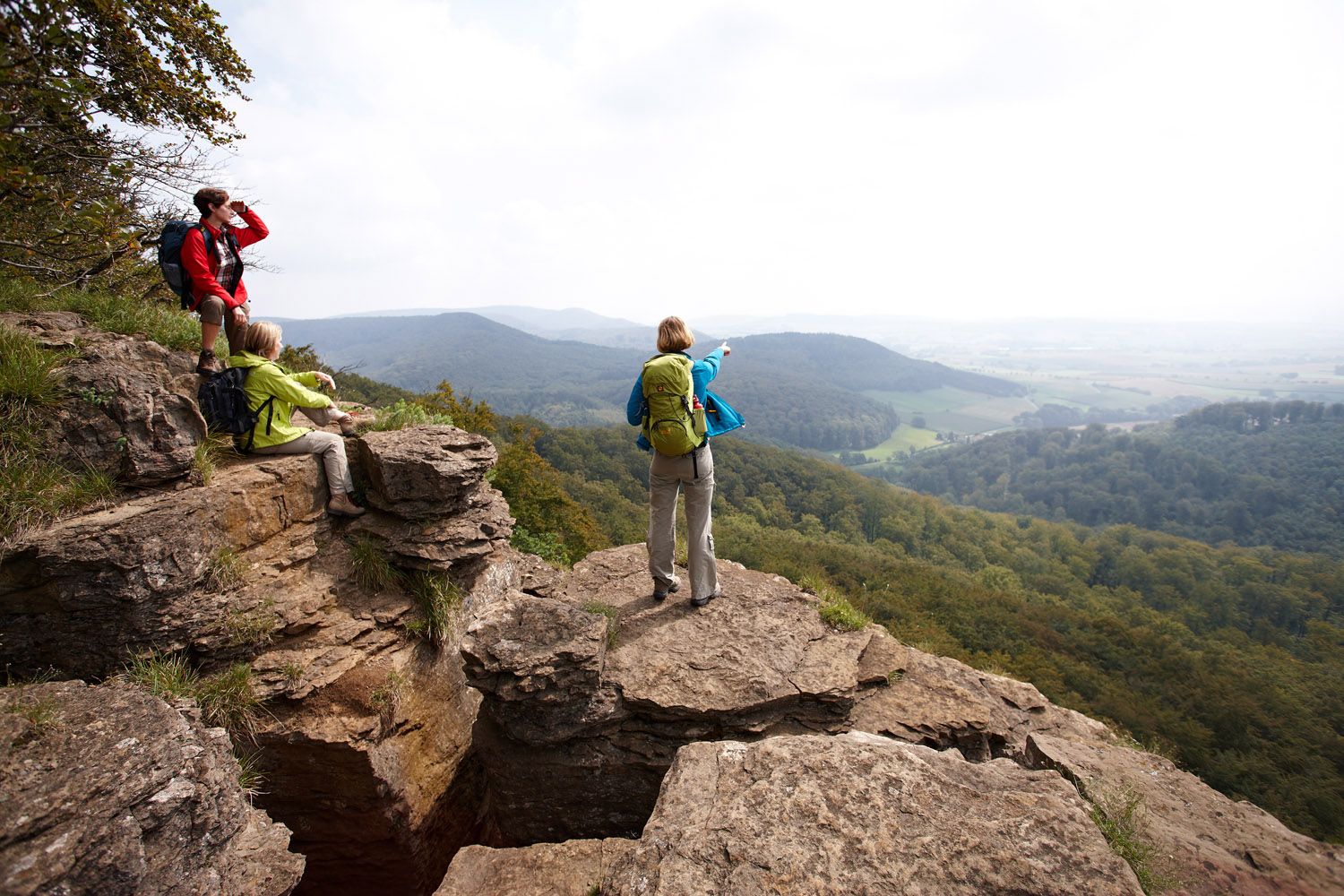
Weser Uplands Extreme – hiking for true adventurers
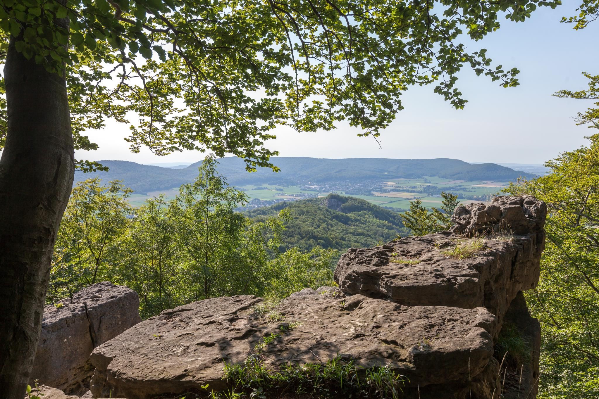
High up on cliffs and viewpoints in the Weserbergland region

Fabulously scenic – hiking Germany’s Weserbergland Trail
Hiking around Hohenstein
Road Cycling Routes around Hohenstein
Running Trails around Hohenstein
Cycling around Hohenstein
MTB Trails around Hohenstein
Other adventures around Hohenstein


Tips from the Community

The Weser begins in Hann. Münden through the confluence of the Werra and Fulda and ends at its mouth in the North Sea near Bremerhaven or in the outer Weser.
7
0
The Weser (Low German Werser or Wersern; Latin Bisurgis, Visurgis; Old High German Wisera, Wisura;[6] West Frisian Wißuhr[7]) is a river that flows northward through the Mittelgebirgsschwelle and the North German Plain. It takes its name from Hann. Münden, where its two major headwaters, the Werra and the Fulda, unite.
4
0

A monument of past days
2
0

Mittellandkanal in the Hanover region. Nice route along the canal, unfortunately the view is somewhat restricted by the grass.
1
0

As a landmark visible from afar near the Steinhuder Meer, it was created by residues from over 100 years of mining, which ceased at the end of 2018.
2
0

The Werser is one of the most famous rivers in Germany.
1
0
It was built in 1927, destroyed in World War II, and rebuilt as an arch bridge in 1946. Source: Rinteln Wiki
0
0

The Süntel Tower is temporarily closed. It may reopen on April 1st, 2026.
2
0
Frequently Asked Questions
How many gravel bike trails are available around Hohenstein?
There are over 35 gravel bike trails available around Hohenstein, offering a wide range of experiences. These include 3 easy routes, 15 moderate routes, and 17 difficult routes, catering to various skill levels.
What kind of terrain can I expect on gravel bike trails in Hohenstein?
Gravel biking around Hohenstein features a diverse landscape of rolling hills, deep river valleys, and dense woodlands. You'll encounter varied terrain, including paths through limestone landscapes and along steep cliffs, characteristic of the Franconian Jura. This provides a mix of challenging climbs and scenic routes.
Are there options for beginner gravel bikers in Hohenstein?
Yes, Hohenstein offers several routes suitable for beginners. There are 3 easy routes available, perfect for those new to gravel biking or looking for a more relaxed ride. These trails generally have less elevation gain and smoother surfaces.
What about more challenging routes for experienced gravel bikers?
For experienced gravel bikers seeking a challenge, Hohenstein has 17 difficult routes. These trails often feature significant elevation changes, technical sections, and longer distances. An example is the View from Hohenstein – Süntel Tower loop from Schillat-Höhle, which covers 27.2 miles (43.8 km) with substantial climbing.
Are there any circular gravel bike routes in Hohenstein?
Yes, many of the gravel bike routes in Hohenstein are designed as loops, allowing you to start and end at the same point. For instance, the View from Hohenstein – View of Hohenstein loop from Bensen is an 8.0-mile (13.0 km) circular trail that takes you through scenic viewpoints.
Can I find routes with scenic viewpoints in Hohenstein?
Absolutely. The Hohenstein region is known for its panoramic views. Many routes, such as the View from Hohenstein – Süntel Tower loop from Schillat-Höhle, offer extensive vistas. You can also visit specific viewpoints like the Hohenstein Cliffs and Scenic Viewpoint or the Green Altar Viewpoint, which are often incorporated into or accessible from gravel trails.
Are there any natural attractions or landmarks to see along the trails?
Yes, the Hohenstein area, part of the Franconian Jura, is rich in natural features. Along your rides, you might encounter highlights such as the Blutbach Stream, the Höllenbachtal Forest Path, or the Iborn Spring. The region is also known for its extensive limestone landscape, caves, and deep river valleys.
What is the best time of year to go gravel biking in Hohenstein?
The best time for gravel biking in Hohenstein is generally from spring through autumn. During these seasons, the weather is typically mild, and the trails are in good condition. The Franconian Jura's natural beauty, with its woodlands and valleys, is particularly vibrant in spring and autumn.
Are there any routes that pass through historic areas or towns?
Yes, some routes offer a blend of natural scenery and cultural exploration. For example, the Rinteln’s Historic Old Town – View of the Weser River loop from Segelhorst allows you to explore Rinteln's historic old town while enjoying views of the Weser River.
What do other komoot users say about gravel biking in Hohenstein?
The gravel biking routes in Hohenstein are highly rated by the komoot community, with an average score of 4.9 stars from more than 40 reviews. Over 200 gravel bikers have used komoot to explore the varied terrain, often praising the diverse landscapes, challenging climbs, and scenic views.
Are there any very long-distance gravel routes for endurance riders?
Yes, for endurance riders, there are longer routes available. The View of Schaumburg Castle – Trail Along the Aue Stream loop from Schaumburg is a challenging 44.7-mile (71.9 km) route, offering a substantial ride through the region's varied landscape.
Can I find routes that are relatively flat or have minimal elevation gain?
While Hohenstein is characterized by rolling hills, you can find routes with less significant elevation changes. The guide includes 3 easy routes, which typically have more manageable climbs and descents, making them suitable for those preferring a flatter experience.
Most popular routes around Hohenstein
Most popular attractions around Hohenstein

Get inspired with the komoot mobile app


Explore more
Browse the best Gravel rides in other regions.
