The best running trails around Hohenstein
4.3
(370)
2,758
runners
262
runs
Jogging routes around Hohenstein offer a diverse landscape, characterized by varied terrain, including paths around reservoirs, through natural areas, and connecting urban spaces with green environments. The region features extensive trail systems, forests, large meadows, and notable rock formations. These running paths cater to different fitness levels, providing both gentle trails and more challenging inclines, often leading to scenic viewpoints.
Best jogging routes around Hohenstein
- The most popular jogging route is Devil's Pulpit (Hohenstein) loop from Schillat-Höhle, a 9.1…
Last updated: September 25, 2026
26
runners
Moderate run. Good fitness required. Mostly paved surfaces. Suitable for all skill levels.
5.0
(1)
16
runners
6.82km
00:43
80m
80m
Moderate run. Good fitness required. Mostly paved surfaces. Suitable for all skill levels.

9
runners
22.3km
02:28
400m
400m
Hard run. Very good fitness required. Mostly paved surfaces. Suitable for all skill levels.
8
runners
Moderate run. Good fitness required. Mostly accessible paths. Some sure footedness required.
4.5
(2)
6
runners
5.29km
00:35
120m
130m
Moderate run. Good fitness required. Mostly paved surfaces. Suitable for all skill levels.
Get access to more routes and recommendations from other explorers.
Already have an account?
Our route recommendations are based on thousands of hikes, rides, and runs completed by other people on komoot.
Start today with a free account
Your next adventure awaits.
Popular around Hohenstein

The National Natural Landscapes in Niedersachsen
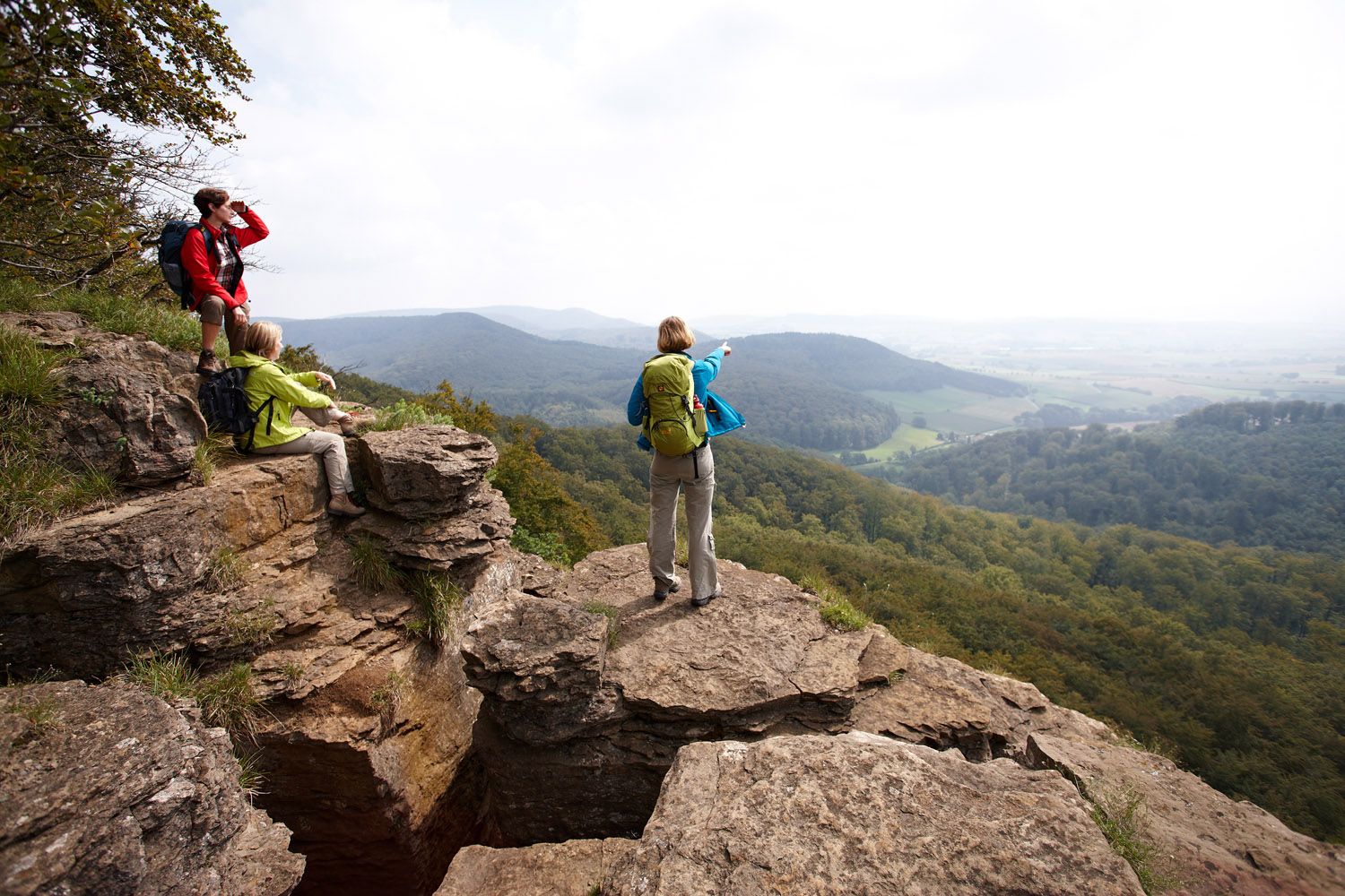
Weser Uplands Extreme – hiking for true adventurers
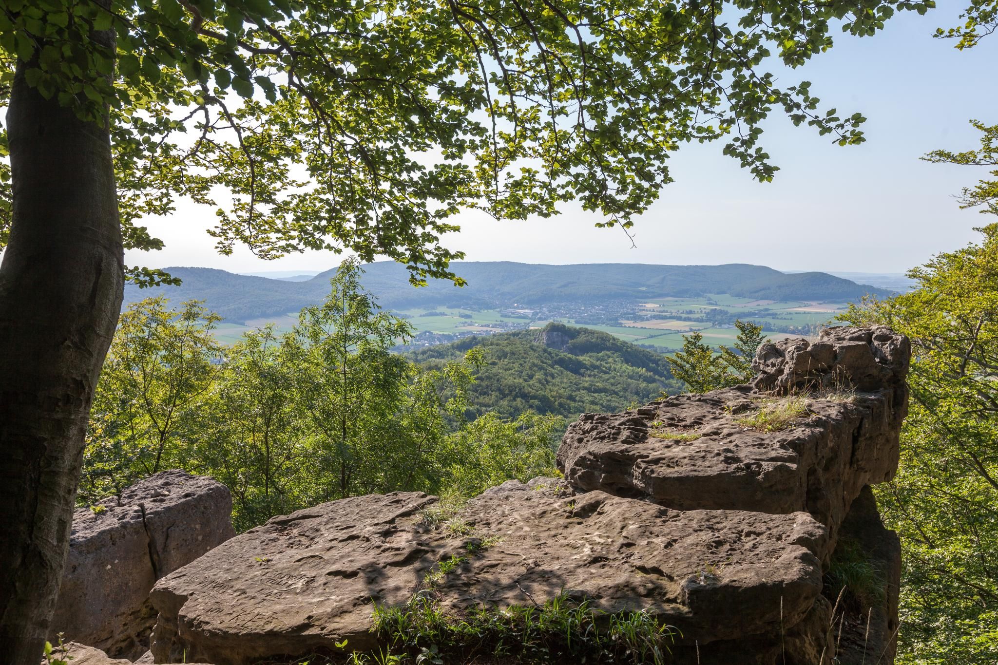
High up on cliffs and viewpoints in the Weserbergland region
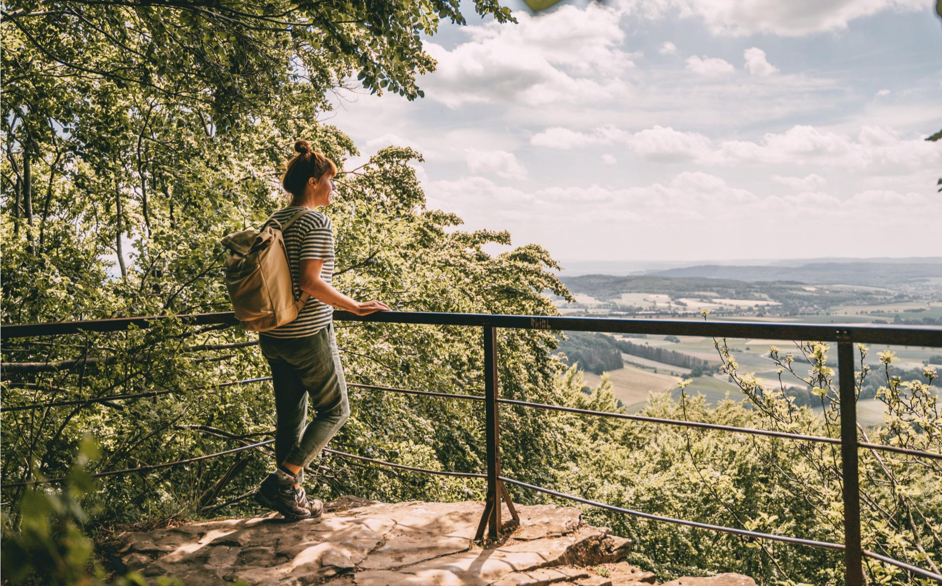
Fabulously scenic – hiking Germany’s Weserbergland Trail
Hiking around Hohenstein
Road Cycling Routes around Hohenstein
Cycling around Hohenstein
MTB Trails around Hohenstein
Gravel biking around Hohenstein
Other adventures around Hohenstein


Tips from the Community

The Blutbach spring is a quiet, little-known natural spot in the Süntel hills, distinguished by its unique atmosphere and unusual name. Hidden in the forest, the Blutbach stream rises here, its source appearing unassuming yet blending harmoniously into the surrounding landscape. Moss-covered stones, damp forest floor, and shady beech trees characterize the scene, lending the place a tranquil, almost secluded ambiance. The name of the Blutbach spring has always captured the imagination. It likely derives from the reddish hue of the water or the soil, which can result from iron-rich deposits in the rock. In combination with light, foliage, and shadows, the spring water can take on a dark, sometimes rust-colored tone, which may have given rise to mythical interpretations and folk tales in the past. What is certain, however, is not so much a specific story as the effect of the place itself. Hydrologically, the Blutbach spring is part of the complex spring and stream system of the Süntel hills. The water emerging here collects to form a small stream that meanders through the wooded terrain, contributing to the region's ecological diversity. Springs like this are delicate habitats where specialized plants, mosses, and small animals find refuge.
2
0

The Schneegrund near Hessisch Oldendorf is a tranquil, impressive nature reserve that opens like a hidden valley nestled among ancient deciduous forests. A narrow path accompanies the clear stream as it winds its way through damp ravines and along mossy rocks. Especially in spring, a delicate display of blossoms unfolds, including snowdrops and wood anemones, covering the forest floor like a pale blanket. The approximately 7.7-kilometer-long Schneegrund route leads past steep slopes, shady sections of forest, and even a small waterfall near Langenfeld, showcasing the many facets of this landscape. Hikers here experience a harmonious interplay of water, forest, and rock that is both calming and invigorating.
0
0
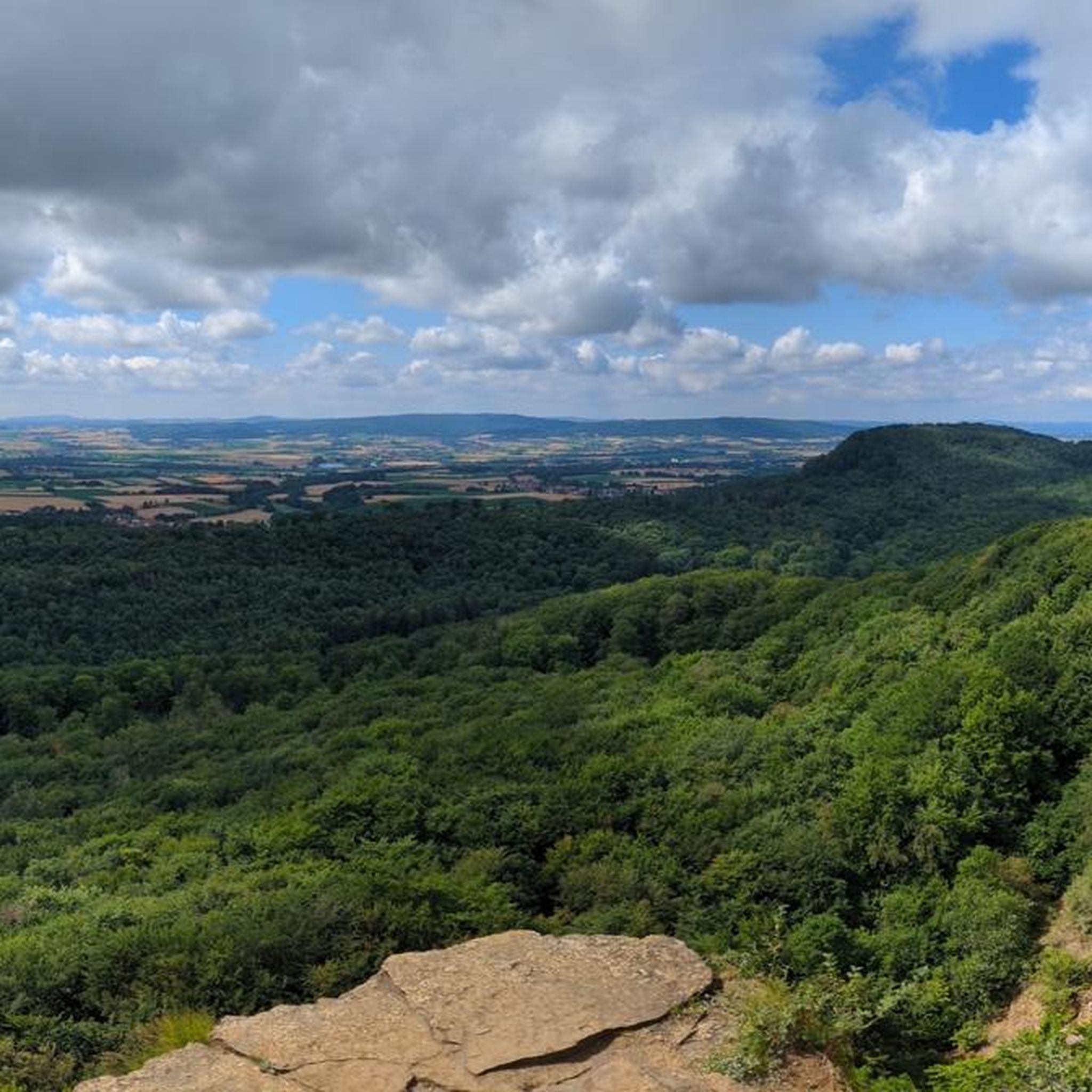
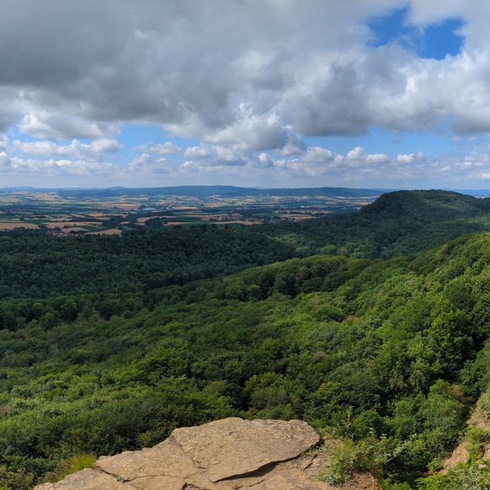
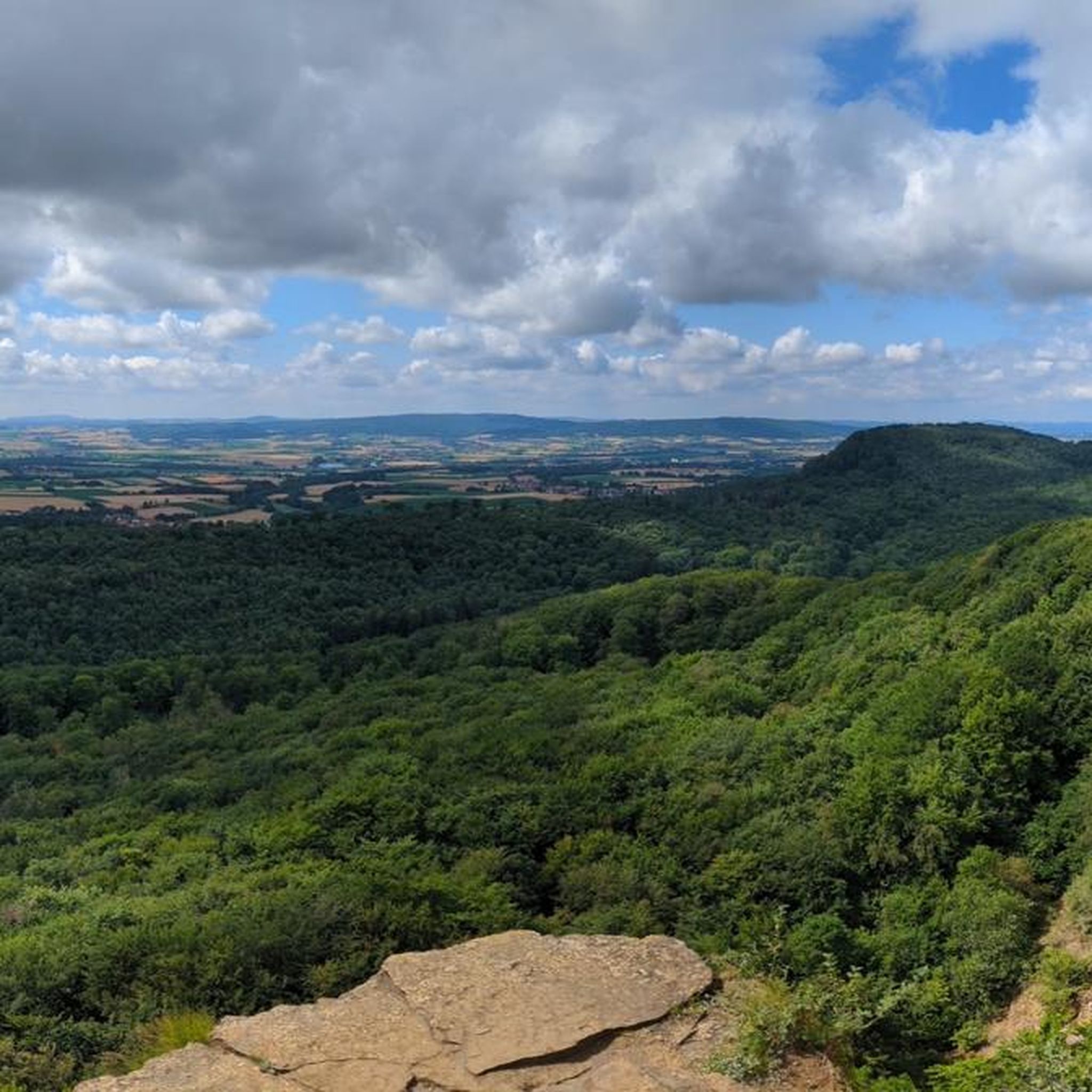
The Hohenstein in the Süntel hills is a striking rock formation and one of the most popular viewpoints in the Weser Uplands. From the approximately 340-meter-high cliff, there is a sweeping view across the Weser Valley and the surrounding hills. The Hohenstein's rocks are made of sandstone and drop steeply southward into the valley. From the natural viewpoints, especially the so-called "pulpit," the course of the Weser River, which meanders through the landscape in wide bends, is clearly visible. The area is part of the Süntel Nature Reserve and provides habitat for numerous animal and plant species.
1
0

Beautiful ravine at the beginning of the hike!
0
0

Beautiful meadow valley that can compete with any Black Forest valley
0
0

Here you can finally find the real Süntelbuchen and learn a lot about them on the information board.
0
0

The Schneegrund near Hessisch Oldendorf is a sensitive nature reserve with species-rich forests, clear streams and flowering meadows where March cups and wood anemones can be found.
0
0

A wonderful view of the Süntel villages and beyond. No matter what the weather and what time of year. Be careful, the edges are not really secured!
1
0
Frequently Asked Questions
How many running routes are available in Hohenstein?
Hohenstein offers a wide variety of running experiences, with over 260 routes available. This includes 54 easy routes, 180 moderate routes, and 31 more challenging trails, ensuring options for every fitness level.
What kind of terrain can I expect on Hohenstein's running trails?
The region boasts diverse landscapes, from paths around reservoirs like the Stausee Oberwald to picturesque routes through natural areas, forests, and large meadows. You'll find varied terrain, including gentle trails and more challenging inclines, often leading to scenic viewpoints.
Are there running routes suitable for beginners in Hohenstein?
Yes, Hohenstein has 54 easy running routes perfect for beginners or those looking for a more relaxed jog. These trails typically feature gentler terrain and shorter distances, allowing for an enjoyable introduction to the area's natural beauty.
Can I find challenging running trails in Hohenstein?
Absolutely. For experienced runners seeking a challenge, Hohenstein offers 31 difficult routes. These trails often include significant ascents and varied terrain, providing a rewarding workout with stunning views.
Are there any scenic viewpoints or natural features to see while running in Hohenstein?
Many routes in Hohenstein pass by impressive natural features and offer panoramic views. You can explore highlights such as the Hohenstein Cliffs and Scenic Viewpoint, the Green Altar Viewpoint, or the unique Iborn Spring. The Stairway Trail to Hohenstein – View from Hohenstein loop from Hohenstein is a great option for views from Hohenstein itself.
Can I run near water features or reservoirs in Hohenstein?
Yes, the Hohenstein-Ernstthal area, for example, features routes around the Stausee Oberwald (Oberwald Reservoir). Additionally, some trails in the broader Hohenstein region, like the Kneipp facility at Blutbach – Papp Mill Beer Garden loop from Hohenstein, will take you past the Blutbach Stream.
Are there routes that pass through nature reserves?
Yes, you can enjoy running through protected natural areas. For instance, the View of the Schneegrund Valley – Schneegrund Nature Reserve loop from Rohden and the Höllenbachtal Forest Path – Schneegrund Nature Reserve loop from Rohden both lead through the beautiful Schneegrund Nature Reserve.
Are most running routes in Hohenstein circular?
Many of the running routes in Hohenstein are designed as loops, offering a convenient way to explore the area without retracing your steps. Examples include the Devil's Pulpit (Hohenstein) loop from Schillat-Höhle and the Stairway Trail to Hohenstein – View from Hohenstein loop from Hohenstein.
What do other runners enjoy the most about jogging in Hohenstein?
The running routes in Hohenstein are highly rated by the komoot community, with an average score of 4.3 stars from over 300 reviews. Runners often praise the varied terrain, the natural reserves, and the scenic viewpoints that make each run unique and enjoyable.
Are dogs allowed on the jogging trails near Hohenstein?
Generally, dogs are welcome on many of the outdoor trails in Hohenstein, especially in natural areas. However, it's always recommended to keep them on a leash, especially in nature reserves or areas with wildlife, and to check for any specific local regulations or signage on individual routes.
Are there any places to stop for refreshments near the running routes?
Yes, some routes offer opportunities for refreshments. For example, the Kneipp facility at Blutbach – Papp Mill Beer Garden loop from Hohenstein passes by the Papp Mill Beer Garden, providing a convenient stop for a drink or a snack.
What is the best time of year for running in Hohenstein?
Hohenstein offers great running opportunities year-round. Spring and autumn provide pleasant temperatures and beautiful scenery with blooming flowers or vibrant foliage. Summer is ideal for early morning or late afternoon runs to avoid the midday heat, while winter can offer crisp, refreshing runs, especially on cleared paths.
Most popular routes around Hohenstein
Most popular attractions around Hohenstein

Get inspired with the komoot mobile app


Explore more
Browse the best Running Trails & Routes in other regions.
