The best MTB trails around Yésero
4.6
(184)
2,908
riders
71
rides
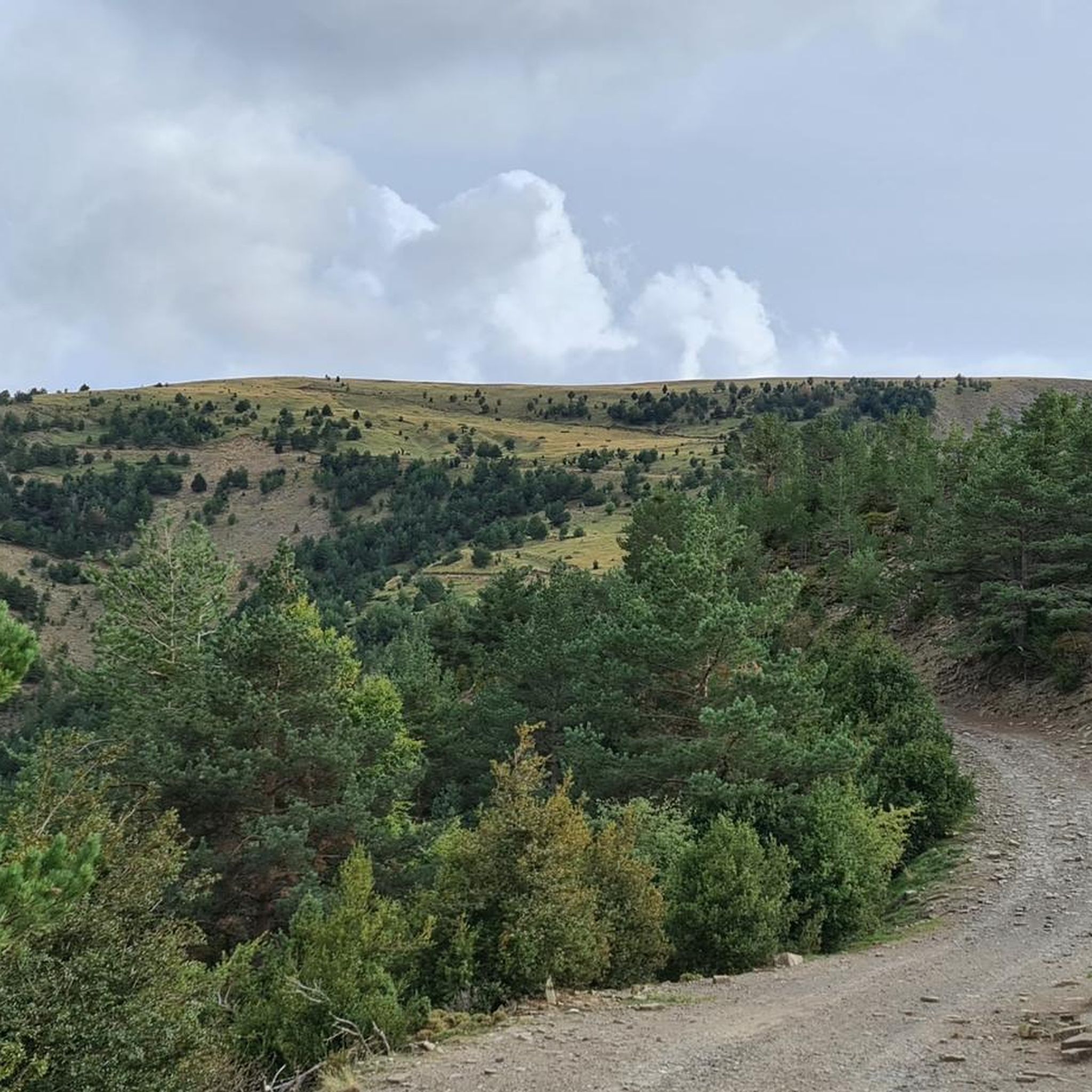
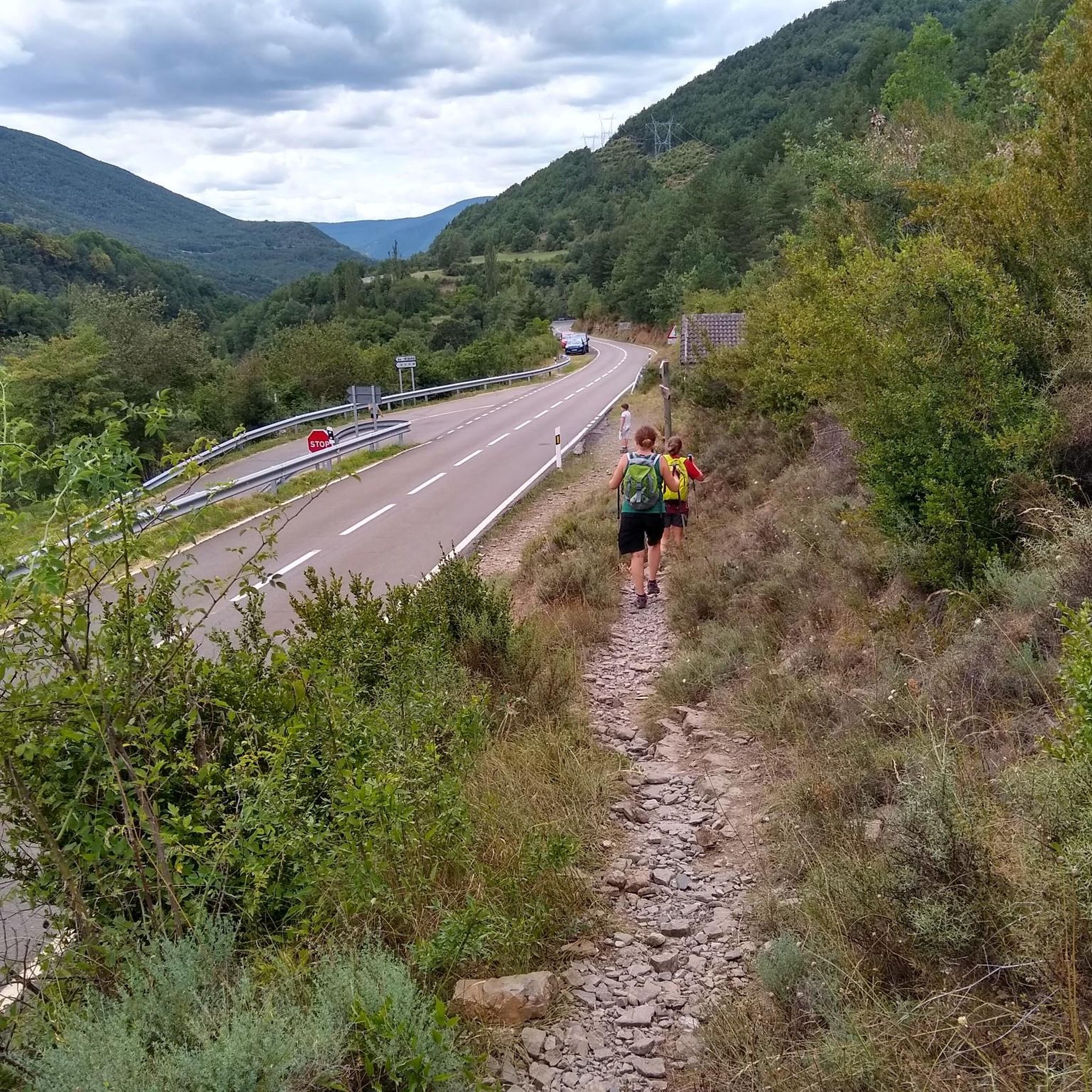
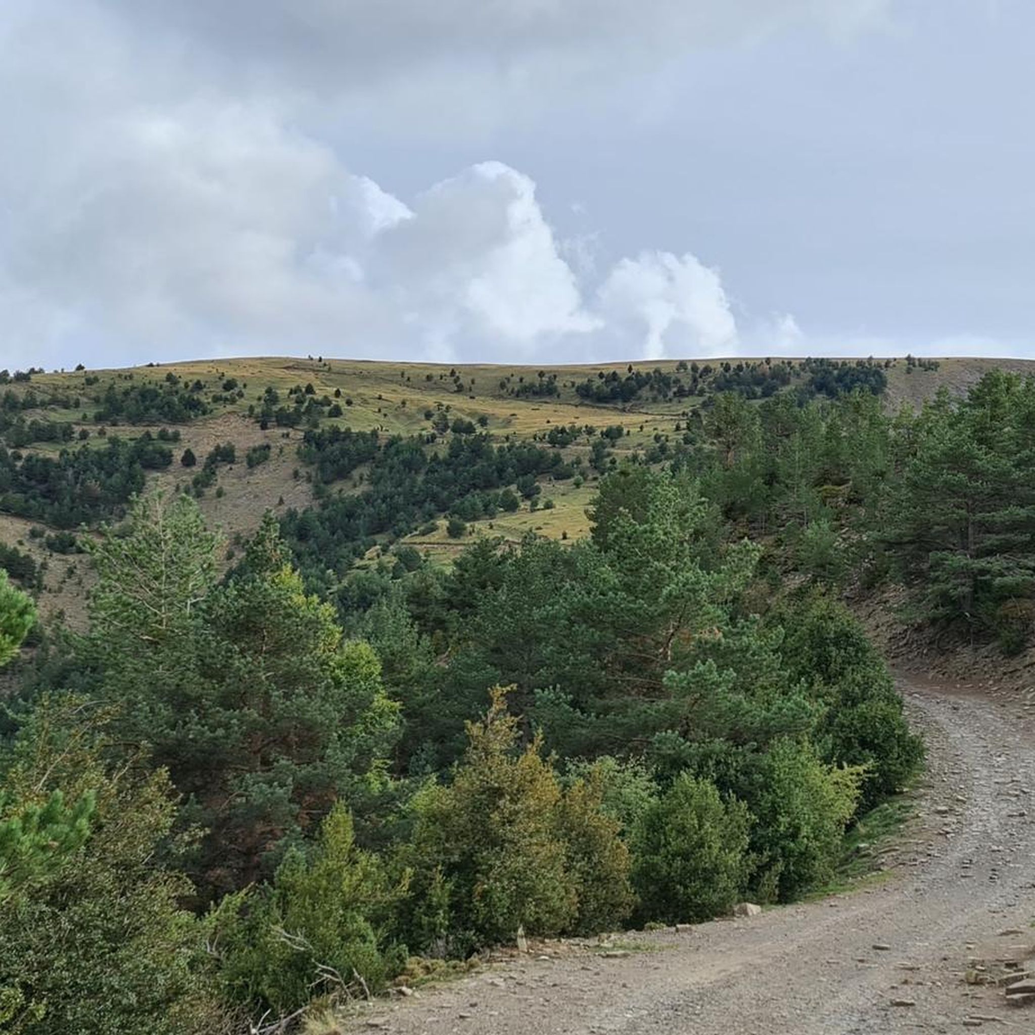
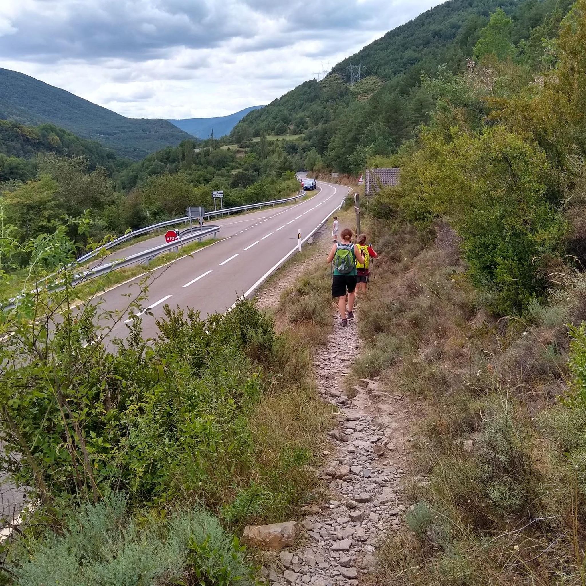
Mountain biking around Yésero features a landscape characterized by significant elevation changes, dense forests, and river valleys. The region's terrain includes challenging ascents and descents, with routes often traversing through varied natural environments. Mountain bike trails in Yésero frequently incorporate forest paths and offer views of the surrounding mountainous areas.
Best mountain bike trails around Yésero
- The most popular mountain bike trail is Biescas – Forest Trail to Yésero loop from Biescas, a 20.7 miles (33.3 km) trail that…
Last updated: July 4, 2026
5.0
(3)
84
riders
33.2km
03:35
1,080m
1,080m
Hard mountain bike ride. Very good fitness required. Suitable for all skill levels.
5.0
(2)
51
riders
50.5km
05:06
1,740m
1,740m
Hard mountain bike ride. Very good fitness required. Suitable for all skill levels.

Sign up for free
4.7
(6)
50
riders
20.3km
02:07
610m
610m
Hard mountain bike ride. Good fitness required. Advanced riding skills necessary. Some portions of the route may require you to push your bike.
3.0
(1)
55
riders
27.5km
03:10
1,040m
1,040m
Hard mountain bike ride. Very good fitness required. Advanced riding skills necessary. Some portions of the route may require you to push your bike.
4.5
(2)
31
riders
50.9km
05:02
1,230m
1,230m
Hard mountain bike ride. Very good fitness required. Advanced riding skills necessary.
Get access to more routes and recommendations from other explorers.
Sign up for free
Already have an account?
Our route recommendations are based on thousands of hikes, rides, and runs completed by other people on komoot.
Start today with a free account
Your next adventure awaits.
Login or Signup

Tips from the Community

Hiking trail, quiet walk and beautiful scenery
0
0

A 28 km long but not particularly difficult climb. The heavy traffic is annoying and there is no shoulder after the tunnel behind Escarrilla, but the panorama is still first-class!
0
0

A beautiful lake located at 1,905 m in a glacial cirque surrounded by Pico del Verde (2,295 m) and Peña Sabocos (2,757 m). It has a maximum depth of 25 m and is close to the Asnos Lake.
0
0


Bike Park open and maintained all year round. 3 beautiful blue, red and black slopes to progress
1
0
At the top there are 3 slopes to go down, blue, red and black, from least to greatest difficulty. It is advisable to be equipped if you are going down the trails.
0
0


The dimensions of the channel reflect the amount of water that can flow down there.
0
0
Frequently Asked Questions
How many mountain bike trails are there in Yésero?
There are over 70 mountain bike trails around Yésero, offering a wide range of options for different skill levels. The region is particularly known for its challenging routes.
Are there easy mountain bike trails for beginners in Yésero?
While Yésero is characterized by significant elevation changes and challenging terrain, there is at least one easy mountain bike trail available. Most routes, however, are rated as moderate to difficult.
What are some challenging mountain bike trails for experienced riders?
Yésero offers numerous challenging trails for experienced riders. The Ibón de Asnos – Río Caldarés loop from Biescas is a difficult 31.4 miles (50.5 km) path featuring a mountain lake and following the Río Caldarés. Another demanding option is the Cruz de Basarán – Puente de las Pilas loop from Punta Espinablar, which covers 67.8 miles (109.1 km) with substantial elevation changes.
Can I find circular mountain bike routes in Yésero?
Yes, many of the mountain bike routes in Yésero are designed as loops. For instance, the popular Biescas – Forest Trail to Yésero loop from Biescas is a 20.7 miles (33.3 km) circular trail. Another option is the Route through Biescas and Arás loop from Biescas.
What kind of elevation changes can I expect on Yésero's mountain bike trails?
Mountain biking around Yésero is defined by significant elevation changes. Trails frequently feature challenging ascents and descents. For example, the Ibón de Asnos – Río Caldarés loop involves over 1700 meters of elevation gain and loss.
What are the best times of year to go mountain biking in Yésero?
The best time for mountain biking in Yésero is generally from late spring to early autumn (May to October). During these months, the weather is typically more stable, and trails are clear of snow, especially at higher elevations. Always check local weather forecasts and trail conditions before heading out.
What are some scenic viewpoints or attractions I can visit along the trails?
The region around Yésero offers several scenic spots. You might encounter landmarks like the Church of San Pedro de Lárrede or enjoy views from Punta de el Barco Viewpoint. Trails also pass by natural features such as the Bernatuara Lake and the Río Caldarés.
Is it possible to bring my dog on the mountain bike trails in Yésero?
Many trails in the Yésero region are dog-friendly, especially those that traverse natural landscapes. However, it's always advisable to keep your dog on a leash, particularly in areas with livestock or wildlife, and to check specific trail regulations or signage for any restrictions.
How can I get to the mountain bike trails in Yésero using public transport?
Public transport options to Yésero and surrounding trailheads are limited. While there might be bus services connecting larger towns like Biescas to other areas, direct public transport to many remote trail starting points is uncommon. It's often recommended to use a car for access, especially if you're carrying bikes.
Are there parking facilities available near the mountain bike trails?
Parking is generally available in the towns and villages near the trailheads, such as Biescas. Look for designated parking areas, especially in popular starting points for routes. Some more remote trails might have limited or informal parking spots.
What do other mountain bikers say about the trails in Yésero?
The mountain bike trails in Yésero are highly rated by the komoot community, with an average score of 4.6 stars from over 180 reviews. More than 3000 mountain bikers have used komoot to explore the varied terrain, often praising the challenging ascents, rewarding descents, and the natural beauty of the forest paths and river valleys.
Are there any trails that feature a mountain lake or river sections?
Yes, several trails incorporate these natural features. The Ibón de Asnos – Río Caldarés loop from Biescas specifically features the mountain lake Ibón de Asnos and follows the Río Caldarés. Many routes also traverse through river valleys, offering scenic views and varied terrain.
Most popular routes around Yésero
Most popular attractions around Yésero

Get inspired with the komoot mobile app


Explore more
Browse the best MTB trails in other regions.
