The best mountain hikes around Yésero
5.0
(1)
51
hikers
3
hikes
Mountaineering routes around Yésero are set within a dramatic landscape characterized by the Sierra de Tendeñera to the north and Monte Erata to the south. Nestled at an elevation of 1,132 meters, the region features a diverse terrain of forests, meadows, and ravines, with numerous peaks offering ascent opportunities. Its proximity to Ordesa y Monte Perdido National Park further enhances its appeal, providing access to steep rocks, narrow ravines, and impressive waterfalls. The area is rich in natural features, making…
Last updated: July 5, 2026
35
hikers
2.22km
01:11
150m
150m
Hard mountaineering route. Great for any fitness level. Sure-footedness, sturdy shoes and alpine experience required.
9
hikers
20.2km
06:49
590m
590m
Hard mountaineering route. Very good fitness required. Mostly accessible paths. Sure-footedness required.

Sign up for free
5.0
(1)
7
hikers
24.7km
08:24
1,050m
1,050m
Hard mountaineering route. Very good fitness required. Mostly accessible paths. Sure-footedness required.
Our route recommendations are based on thousands of hikes, rides, and runs completed by other people on komoot.
Start today with a free account
Your next adventure awaits.
Login or Signup
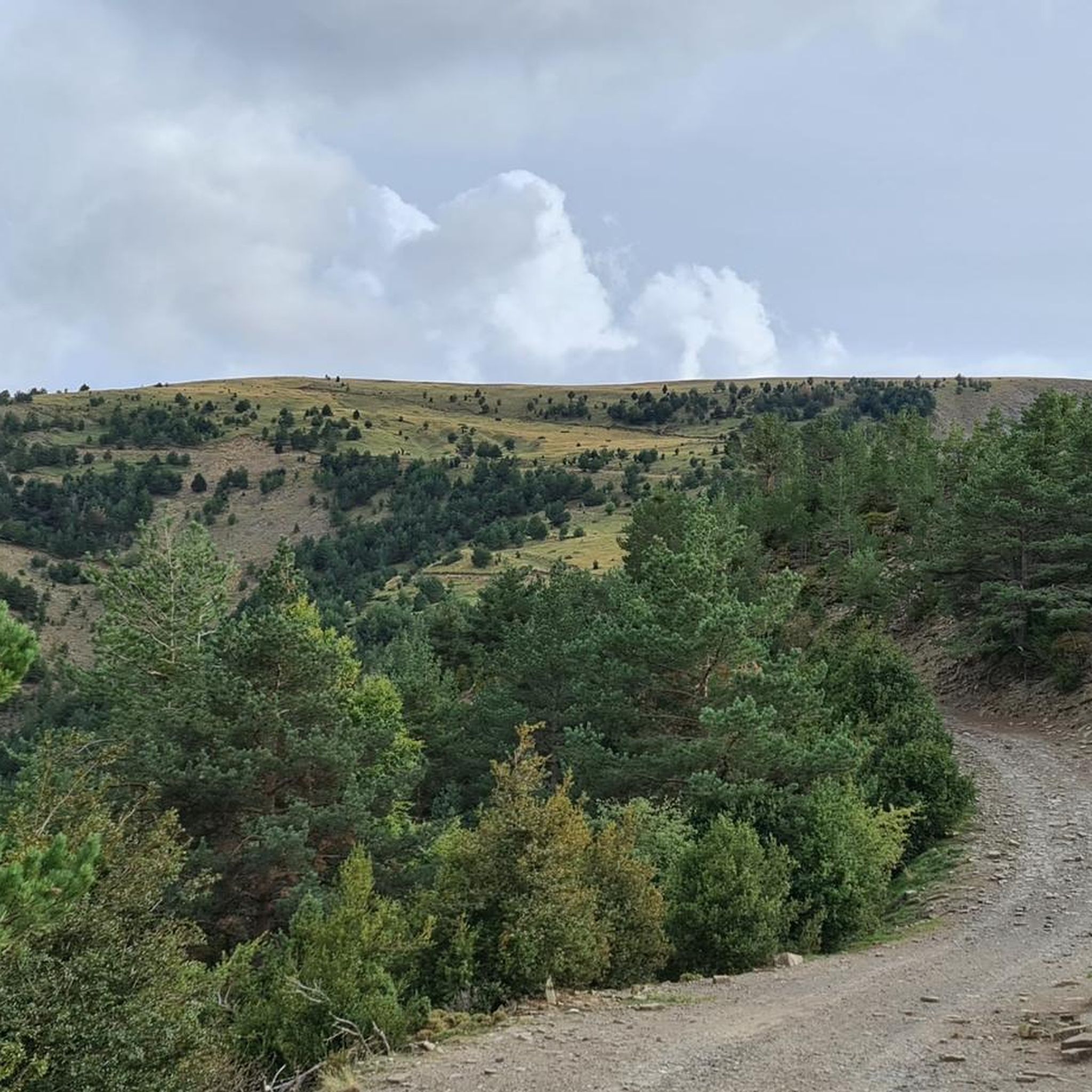
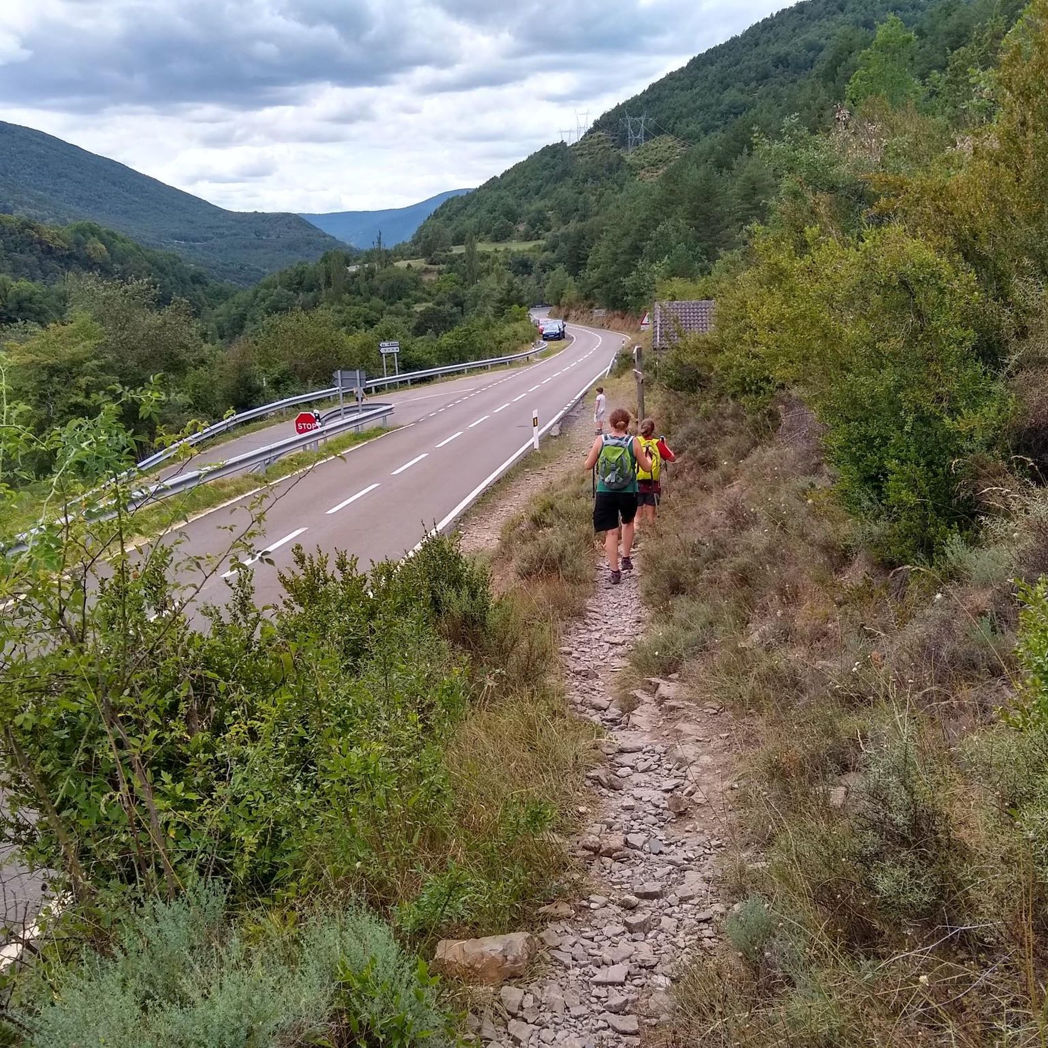
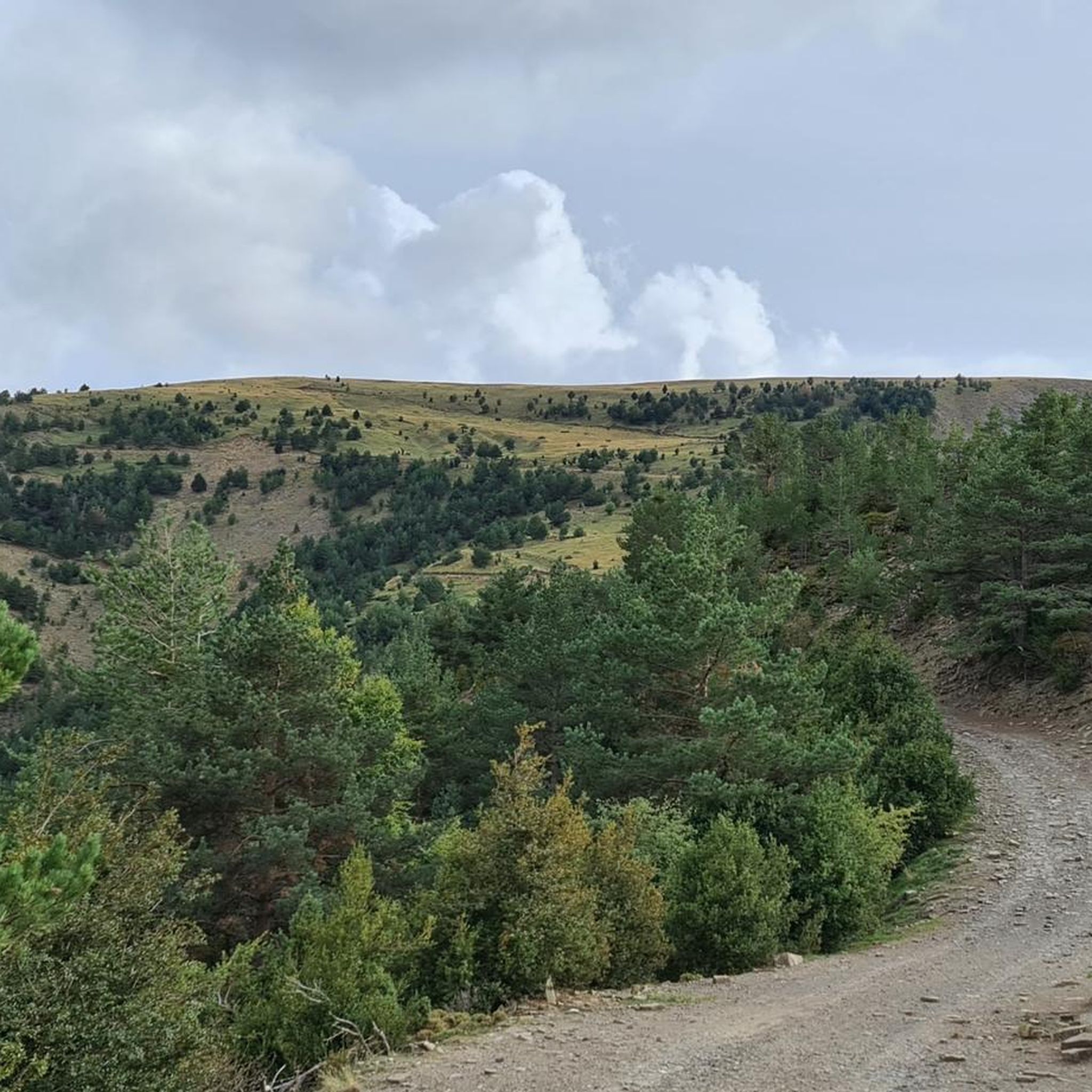
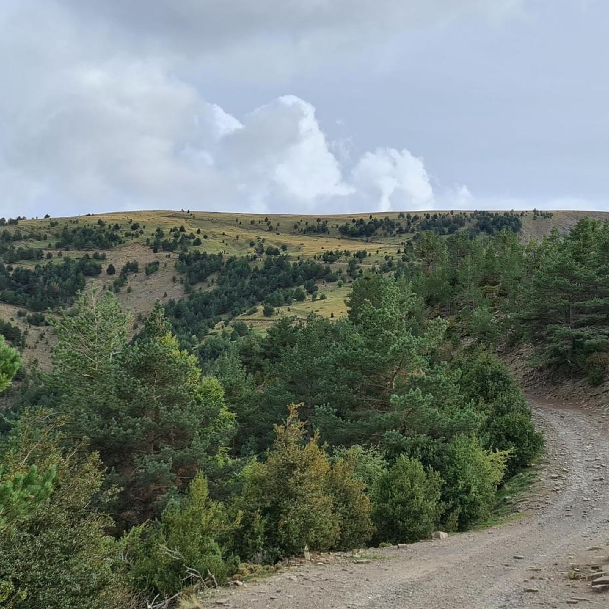
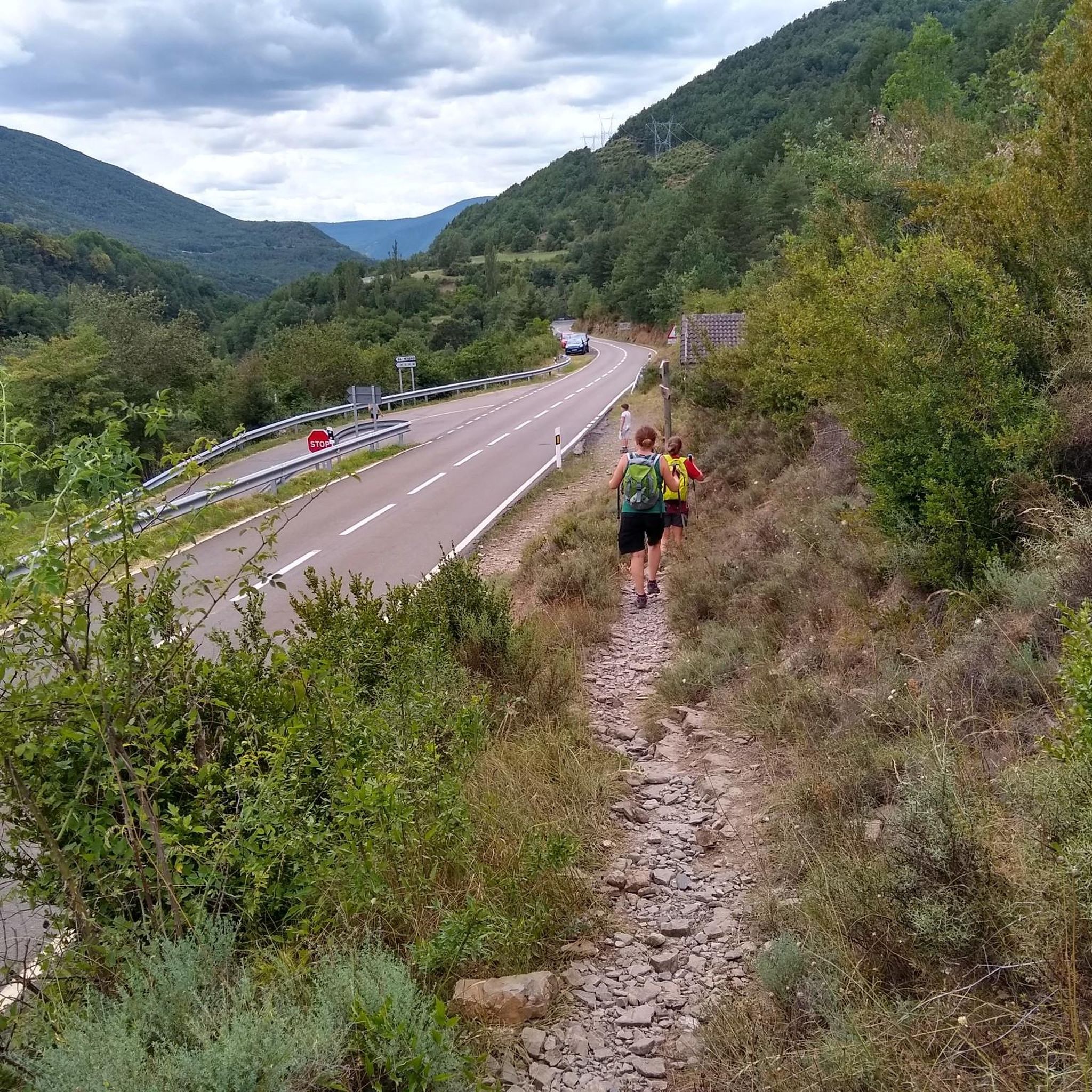
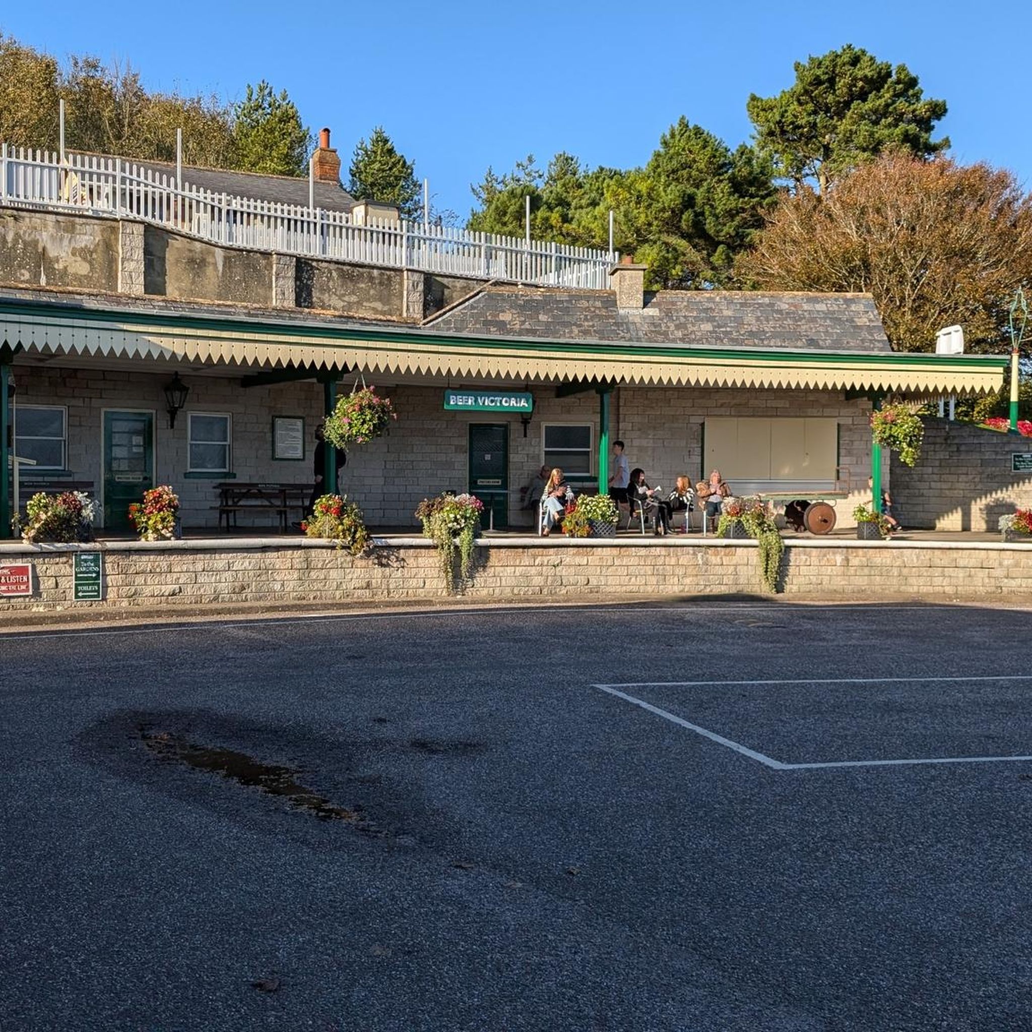
Tips from the Community

Going down the Rio Arazas is very pleasant.
0
0

A beautiful valley full of cows See the video: https://youtu.be/PSICbH0nNDk?si=7Xt5NnanHjRBwDWp
0
0

Restaurant (reservations required for dining) and camping. Up to this point, the road is poor and traffic-ridden; further up the valley, it improves and becomes more beautiful.
0
0
Hiking the Otal Cirque offers breathtaking views and the opportunity to encounter many local wildlife. We heard numerous marmots whistling and saw an eagle hunting!
0
0
The Rio Ara at this point offers beautiful views
0
0
Beautiful and scenic medieval bridge, the start of the paths that go up the Ara river valley
0
0

Beautiful path always on the other side of the road.
0
0
great for swimming, further up great lawns
0
0
Frequently Asked Questions
What kind of mountaineering challenges can I expect in Yésero?
Mountaineering routes around Yésero are generally challenging, characterized by high mountain peaks, deep ravines, and significant elevation gains. All the routes listed in this guide are rated as 'difficult', catering to experienced mountaineers seeking demanding ascents and long-distance treks. For example, the Cirque de Gavarnie – Brecha de Rolando loop involves over 1,700 meters of elevation gain.
Are there any circular mountaineering routes available in the Yésero area?
Yes, several mountaineering routes in the Yésero area are circular, offering varied scenery without retracing your steps. Notable examples include the Cirque de Gavarnie – Brecha de Rolando loop from San Nicolás de Bujaruelo, the Ordesa Meadow – Arazas River loop from Torla-Ordesa, and the Bujaruelo Bridge loop from Camping Valle de Bujaruelo.
What natural landmarks or viewpoints can I discover along these mountaineering routes?
The Yésero region is rich in natural beauty. You can encounter impressive features like the Sorrosal Waterfall near Broto, which is also a popular spot for canyoning. The routes often provide expansive views of the iconic Cirque de Gavarnie and lead to significant mountain passes such as Puerto de Cotefablo and Brazato Pass. You might also find stunning vistas like the Views of Punta Cochaldo.
What is the best time of year for mountaineering in Yésero?
The best time for mountaineering in Yésero generally depends on the specific route and your experience. While the region offers year-round opportunities, the warmer months from late spring to early autumn (June to September) typically provide more stable weather conditions and less snow at higher elevations, making routes more accessible. Winter mountaineering requires specialized equipment and alpine experience due to snow and ice.
Are there any family-friendly hiking options near Yésero, even if they aren't full mountaineering routes?
While the mountaineering routes highlighted in this guide are difficult, the broader Yésero region, with its proximity to Ordesa y Monte Perdido National Park, offers a variety of trails. You can find easier paths suitable for families, especially in the valleys and lower elevations, which provide access to picturesque beech forests and the Arazas River. These are generally less strenuous than the high-alpine mountaineering expeditions.
Can I bring my dog on the mountaineering trails around Yésero?
Many trails in the Pyrenees are dog-friendly, but regulations can vary, especially within protected areas like Ordesa y Monte Perdido National Park. It's always best to check specific park rules or local signage for each route. Generally, dogs should be kept on a leash to protect wildlife and ensure the safety of other hikers.
What are the parking options for accessing mountaineering routes in Yésero?
Parking availability varies by trailhead. For routes starting near villages or popular access points like San Nicolás de Bujaruelo or Torla-Ordesa, you'll typically find designated parking areas. It's advisable to arrive early, especially during peak season, as spaces can fill up quickly. Some routes, like the Bujaruelo Bridge loop, start from specific locations like Camping Valle de Bujaruelo which may have their own parking facilities.
Are there any permits or special regulations required for mountaineering in the Yésero area?
For general hiking and mountaineering in the Yésero area, specific permits are not usually required for most routes. However, if your route enters protected zones like Ordesa y Monte Perdido National Park, there might be regulations regarding access, group size, or activities like camping. Always check the official park website or local information centers for the most current requirements before your trip.
What do other mountaineers say about the routes in Yésero?
The mountaineering routes around Yésero are highly regarded by the komoot community, holding an average score of 5.0 stars from 4 reviews. Mountaineers often praise the dramatic landscapes, challenging ascents, and the sense of accomplishment gained from exploring this rugged Pyrenean terrain. Over 40 mountaineers have already used komoot to explore these varied routes.
Are there any historical or cultural points of interest near the mountaineering trails?
Yes, beyond the natural beauty, the region offers some historical and cultural sites. For instance, you might encounter the Dolmen of Santa Elena or the Santa Elena Hermitage and Fountain. The beautiful Pyrenean town of Broto, divided by the Ara River, also serves as an access point to the region's wonders and features the Romanesque San Nicolás de Bujaruelo Bridge, a starting point for many excursions.
What kind of accommodation and amenities are available in Yésero and its surroundings?
Yésero, being a hub for outdoor activities, offers various amenities. You'll find accommodation options ranging from rural guesthouses to hotels, particularly in Yésero village and nearby towns like Broto and Torla-Ordesa. There are also cafes and pubs where you can refuel after your adventures. For those looking for a more immersive experience, camping facilities are available, such as near the starting point of the Bujaruelo Bridge loop.
How can I reach the starting points of these mountaineering routes using public transport?
Public transport options to the specific trailheads for mountaineering routes in Yésero can be limited, as many start in more remote mountain areas. However, larger nearby towns like Torla-Ordesa or Broto often have bus connections, especially during peak tourist season. From these towns, you might need to arrange local taxis or private transport to reach the more secluded starting points. It's always recommended to check local bus schedules in advance.
Most popular attractions around Yésero

Get inspired with the komoot mobile app


Explore more
Browse the best Mountain Hikes & Routes in other regions.
