The best walks and hikes around Riserva Naturale Regionale Oasi WWF Guardiaregia - Campochiaro
4.3
(240)
1,072
hikers
98
hikes
Hiking around Riserva Naturale Regionale Oasi WWF Guardiaregia - Campochiaro offers diverse experiences within a vast protected area in Molise. The region is characterized by spectacular karst landscapes, including deep gorges like the Canyon del Torrente Quirino and impressive caves. Dense beech forests cover the slopes of Monte Mutria, the highest peak within the reserve, providing challenging hiking trails. This area encompasses varied terrains, from riverside treks to high-altitude forest walks, making it an excellent destination for outdoor activities.
Best…
Last updated: October 10, 2026
4.1
(9)
52
hikers
4.80km
01:41
260m
260m
Easy hike. Great for any fitness level. Easily-accessible paths. Suitable for all skill levels.
4.3
(6)
35
hikers
6.88km
01:56
140m
140m
Easy hike. Great for any fitness level. Easily-accessible paths. Suitable for all skill levels.

5.0
(7)
20
hikers
14.1km
05:38
670m
670m
Hard hike. Very good fitness required. Sure-footedness, sturdy shoes and alpine experience required.
3.0
(1)
1
hikers
24.9km
08:41
1,080m
1,090m
Hard hike. Very good fitness required. Sure-footedness, sturdy shoes and alpine experience required.
4.0
(1)
4
hikers
7.91km
03:08
410m
410m
Hard hike. Good fitness required. Sure-footedness, sturdy shoes and alpine experience required.
Get access to more routes and recommendations from other explorers.
Already have an account?
Our route recommendations are based on thousands of hikes, rides, and runs completed by other people on komoot.
Start today with a free account
Your next adventure awaits.
Popular around Riserva Naturale Regionale Oasi WWF Guardiaregia - Campochiaro

Running Trails around Riserva Naturale Regionale Oasi WWF Guardiaregia - Campochiaro
MTB Trails around Riserva Naturale Regionale Oasi WWF Guardiaregia - Campochiaro
Road Cycling Routes around Riserva Naturale Regionale Oasi WWF Guardiaregia - Campochiaro
Cycling around Riserva Naturale Regionale Oasi WWF Guardiaregia - Campochiaro
Tips from the Community

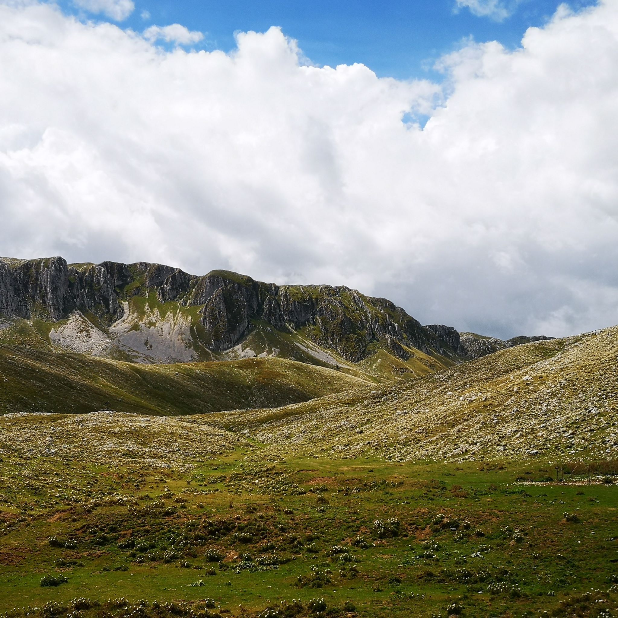
Gallinola (1,923 m above sea level) is the second highest peak in the Matese range and is located in Molise. It can be reached from Campitello Matese via a 5.5 km hike and an elevation gain of just under 500 meters. The view from the summit is spectacular, stretching from the Maiella to the Tyrrhenian Sea, clearly visible in good weather.
1
0

Challenging route with a difference in altitude of about 600m, starting from the Ecocamous refuge located in the Santa Maria valley. During the route you will encounter woods, valleys and a beautiful view of Lake Matese. The route leads to the highest peak in Campania, La Gallinola (1923m)
0
0

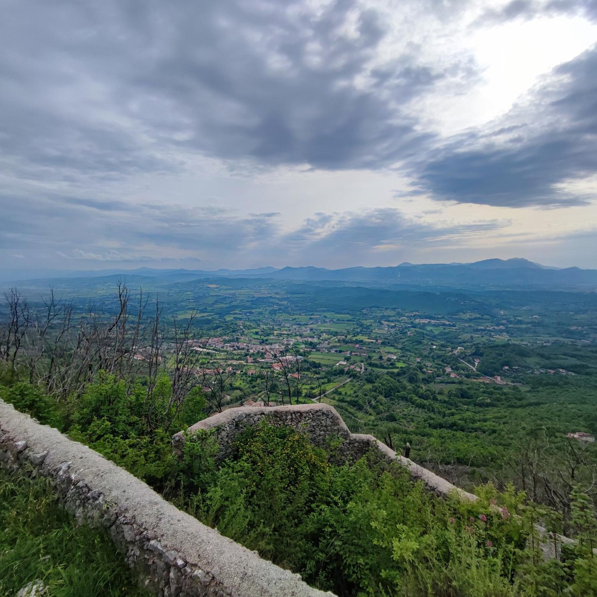
View overlooking the valley of Lake Matese
0
0
Getting there from the Santa Maria refuge was a slog but when you admire the view you understand that it's worth it
3
0

Beautiful view of Lake Matese. It is the highest lake of karst origin in Italy, being located at around 1000 meters above sea level.
0
0

The Tre Frati are three centuries-old beech trees found on the northern slopes of Monte Mutria, within the Guardiaregia-Campochiaro WWF Oasis. The estimated age is around 500 years and they are surrounded by a dense forest. To reach the Tre Frati there are several hiking trails that start from Fonte Colle Macchio or from Pietraroja.
2
0
Monte Mutria is the highest peak of the Guardiaregia-Campochiaro Regional Reserve, with its 1823 meters of altitude. Near the top is the chapel of Sant'Antonio, built in the 1990s and a destination for summer pilgrimages. The panorama extends over the great mountains of the Apennines, and on the clearest days you can even see the sea.
2
0

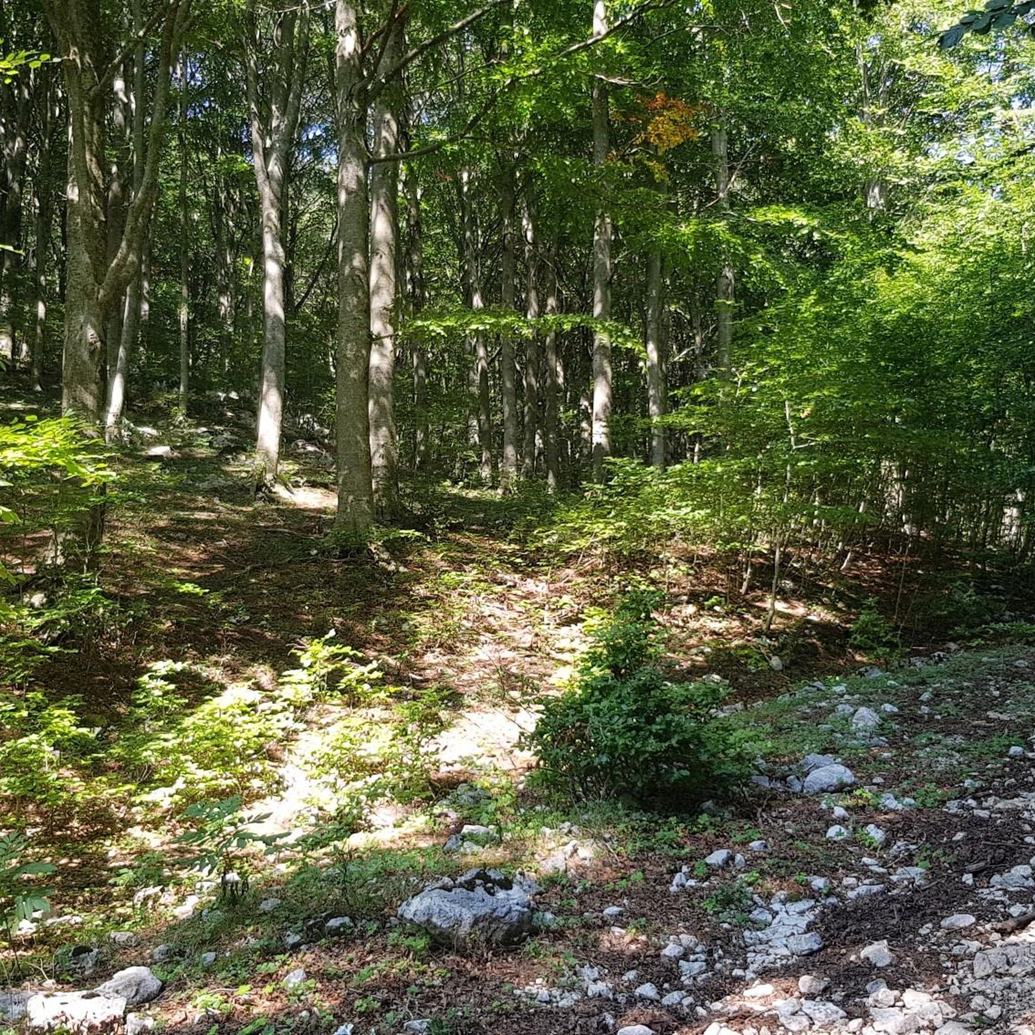
Here we are in an area with forest near the "5 of Coins" (they are along the path continuing south). This is five beech hedge.
1
0
Frequently Asked Questions
How many hiking trails are available in Riserva Naturale Regionale Oasi WWF Guardiaregia - Campochiaro?
There are over 90 hiking trails within the Riserva Naturale Regionale Oasi WWF Guardiaregia - Campochiaro, offering a wide range of experiences from easy walks to challenging mountain ascents. The komoot community has explored these routes over 880 times.
Are there easy hiking trails suitable for beginners or casual walkers?
Yes, the reserve offers several easy trails. For instance, the Pianellone and Belvedere Loop Trail is an easy 4.3-mile (6.9 km) route that takes about 2 hours, leading through forested areas with scenic viewpoints. There are 16 easy routes in total.
What kind of challenging hikes can I find in the reserve?
For experienced hikers, the reserve offers demanding routes, particularly around Monte Mutria, its highest peak at 1,823 meters. A notable challenging option is the Monte Mutria – loop tour in the Riserva Regionale Guardiaregia-Campochiaro, a difficult 15.5-mile (25.0 km) path exploring diverse terrain and dense beech forests. There are 40 difficult routes available.
Are there any waterfalls to see in the Riserva Naturale Regionale Oasi WWF Guardiaregia - Campochiaro?
Yes, the reserve is home to the stunning Cascata di San Nicola, a 100-meter high waterfall located within the Quirino gorges. It is a seasonal attraction, typically flowing outside of the dry summer months of July and August.
What natural features are prominent in the reserve's landscape?
The reserve is renowned for its spectacular karst landscapes, featuring deep gorges like the Canyon del Torrente Quirino (also known as the Arcichiaro gorges). It also boasts impressive caves such as Pozzo della Neve and Cul di Bove, which are among the deepest abysses in Europe. Monte Mutria, covered in dense beech forests, adds to the diverse natural environment.
What kind of wildlife can I expect to see while hiking?
The reserve is a sanctuary for diverse fauna. Hikers might spot wolves, wildcats, badgers, red squirrels, wild boars, and roe deer. The rare spectacled salamander, the reserve's symbol, also inhabits the area. Birdwatchers can look out for various birds of prey, including the golden eagle.
Are there any family-friendly activities or trails in the reserve?
Beyond hiking, families can enjoy shorter, less strenuous paths like the 'Deer Trail' and the 'San Nicola Nature Trail'. There's also a wildlife area near Campochiaro focused on deer protection, which can be a great attraction for children and families.
What do other hikers enjoy the most about hiking in Riserva Naturale Regionale Oasi WWF Guardiaregia - Campochiaro?
The area is highly rated by the komoot community, with an average score of 4.3 stars from over 190 reviews. Hikers often praise the diverse terrain, from dramatic karst gorges to serene beech forests, and the opportunity to experience one of Italy's wildest WWF oases.
Are there any circular hiking routes available?
Yes, many of the trails in the reserve are designed as circular routes, allowing you to start and end at the same point. An example is the Monte Mutria Summit Loop, an easy 3.0-mile (4.8 km) trail offering views around the summit area.
What are some interesting landmarks or points of interest near the hiking trails?
Beyond the natural beauty, you can explore several points of interest. Consider visiting The Three Brothers, or the Jubilee of Light Cross. For a glimpse into the forest, the Beech Forest Trail Near '5 di Denari', Parco Nazionale del Matese is also nearby.
When is the best time to visit Riserva Naturale Regionale Oasi WWF Guardiaregia - Campochiaro for hiking?
The reserve offers different experiences throughout the year. Spring and autumn are ideal for pleasant temperatures and vibrant foliage. If you wish to see the Cascata di San Nicola waterfall in full flow, it's best to visit outside the dry summer months of July and August. Guided excursions are often available during the summer.
Are there any ancient trees or unique flora to observe?
The reserve is rich in botanical interest. You can find ancient beech trees, some over 500 years old, and unique species like holly and yew. Rare flora such as Solomon's seal, orange lily, European columbine, blue anemone, and 38 types of orchids also thrive here, especially in the Tilio-Acerion valley forests of the Quirino Gorges and the beech woods of Monte Mutria.
Most popular routes around Riserva Naturale Regionale Oasi WWF Guardiaregia - Campochiaro
Most popular attractions around Riserva Naturale Regionale Oasi WWF Guardiaregia - Campochiaro

Get inspired with the komoot mobile app


Explore more
Browse the best Hikes in other regions.
