The best road cycling routes around Zufritt-Stausee - Lake di Gioveretto
4.8
(42)
1,325
riders
6
rides
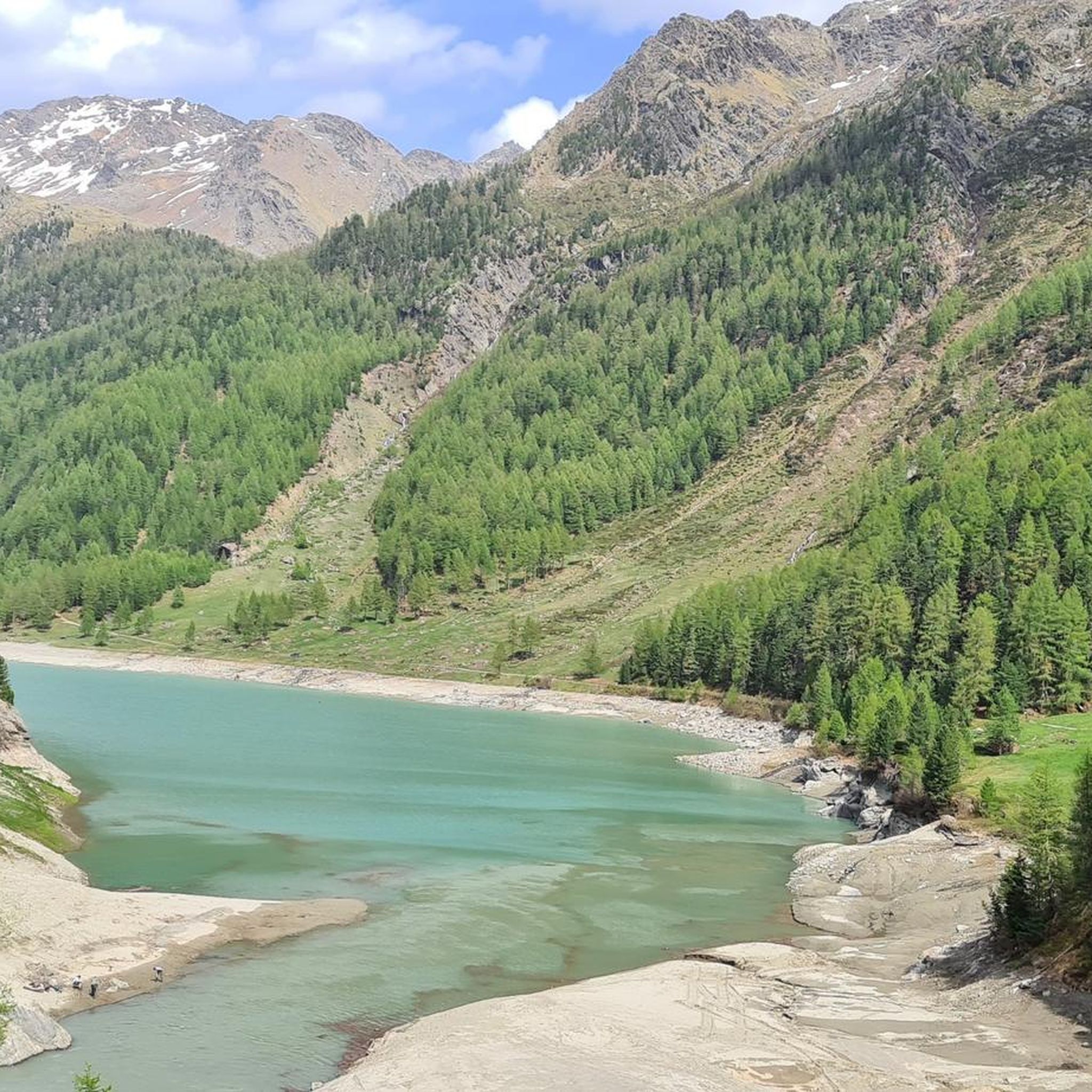
Road cycling around Zufritt-Stausee - Lake di Gioveretto is characterized by challenging ascents through the Val Martello, set within the expansive Stelvio National Park. The region features significant climbs with gradients up to 15% on meadow slopes and narrow roads leading to the dam. Cyclists encounter alpine landscapes, views of the Ortles Alps, and the green glacial waters of the lake itself. The area offers routes with low traffic, ideal for immersive cycling experiences amidst impressive mountains.
Best road cycling…
Last updated: October 8, 2026
10
riders
25.8km
01:53
990m
1,000m
Hard road ride. Very good fitness required. Mostly well-paved surfaces and easy to ride.
5.0
(4)
58
riders
29.1km
02:01
940m
940m
Hard road ride. Very good fitness required. Some segments of this route may be unpaved and difficult to ride.

6
riders
13.5km
01:03
580m
580m
Moderate road ride. Good fitness required. Mostly well-paved surfaces and easy to ride.
9
riders
7.90km
00:26
130m
130m
Easy road ride. Great for any fitness level. Mostly well-paved surfaces and easy to ride.
4.7
(19)
530
riders
60.2km
03:46
1,560m
1,560m
Hard road ride. Very good fitness required. Some segments of this route may be unpaved and difficult to ride.
Our route recommendations are based on thousands of hikes, rides, and runs completed by other people on komoot.
Start today with a free account
Your next adventure awaits.
Popular around Zufritt-Stausee - Lake di Gioveretto
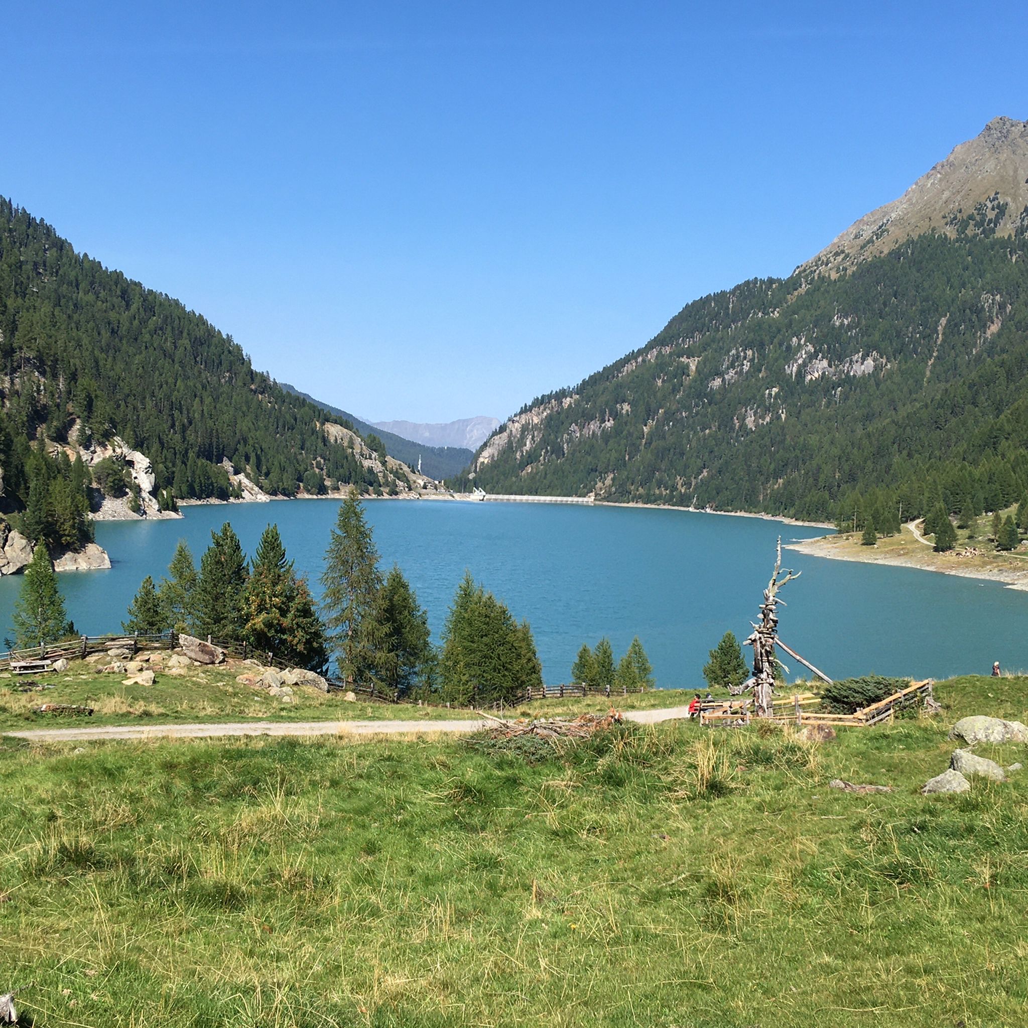
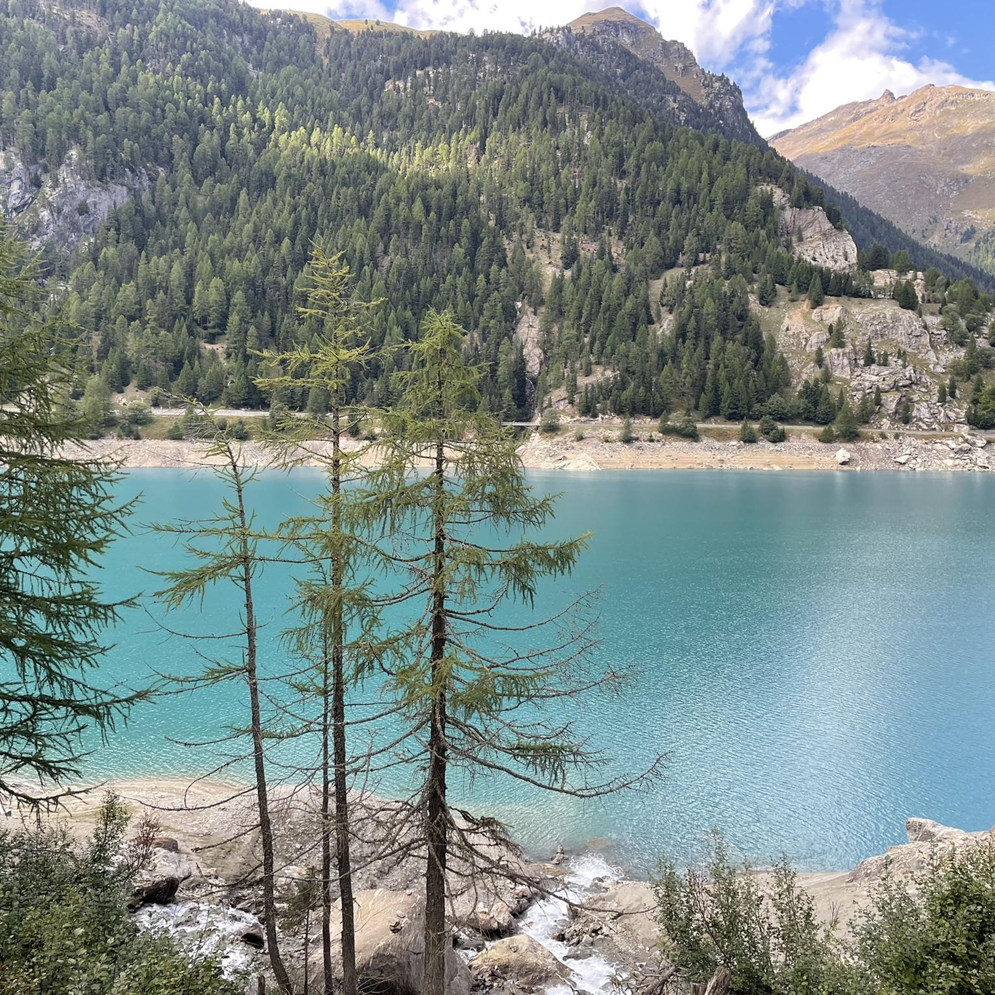
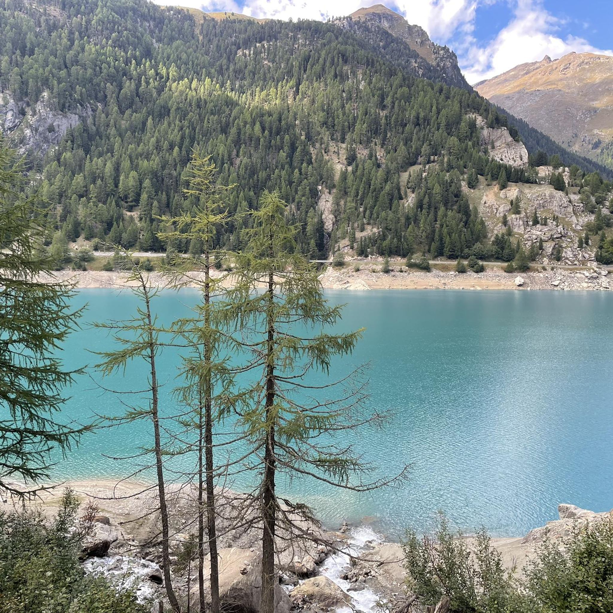
Tips from the Community

Very beautiful old bridge
0
0

https://www.messner-mountain-museum.it/de/ortles/angebote/ The MMM Ortles is open from 2 pm to 6 pm from June 1st to the second Sunday in October and from the second Sunday in December to May 1st; in July and August from 1 pm to 6 pm. Last admission at 5:30 pm | Closed on Tuesdays
0
0

This tour from Plaus to Hintermartell/Talschluss is simply sensational
0
0

Since last year, the steeper sections have been paved, but longer sections remain unpaved. However, the unpaved sections generally have a smooth surface and are therefore manageable even with a racing bike, although it's very dusty. So, I used the bike path on the climb, but I preferred to take the main road on the return journey. Now everyone has to decide for themselves whether they want to follow the desire to get the racers off the main road with these small improvements or not. For environmentalists, the new paved sections are already too much of a good thing; it's a compromise.
8
0

Actually a beautiful lake, but empty today
1
0
Here the battery has given up the ghost
0
0
Frequently Asked Questions
How many road cycling routes are available around Zufritt-Stausee - Lake di Gioveretto?
There are 5 road cycling routes around Zufritt-Stausee - Lake di Gioveretto, offering a mix of moderate and difficult challenges for cyclists.
What kind of terrain can I expect on road cycling routes in this region?
The routes feature challenging ascents through the Val Martello, with gradients up to 15% on meadow slopes and narrow roads leading to the dam. You'll encounter diverse terrain, including sections through apple orchards and alpine landscapes, all within the expansive Stelvio National Park.
Are there any family-friendly road cycling options around Zufritt-Stausee?
The road cycling routes in this area are generally characterized by significant elevation gains and challenging sections, making them more suitable for experienced cyclists. There are no routes specifically categorized as 'easy' in the guide, with options ranging from moderate to difficult.
What are some notable landmarks or natural features to see along the road cycling routes?
As you cycle, you'll experience the picturesque Martell Valley, the impressive Zufritt Dam, and the green glacial waters of Lago di Gioveretto itself. The routes also offer panoramic views of the surrounding Ortles Alps and glaciated peaks.
What do other road cyclists enjoy most about cycling in Zufritt-Stausee - Lake di Gioveretto?
The area is highly rated by the komoot community, with an average score of 3.5 stars. Cyclists often praise the challenging mountain ascents, scenic valley roads, and the low traffic in the Martell Valley, which allows for an immersive cycling experience amidst impressive mountains.
Are there any routes that offer views of apple orchards?
Yes, the route Apple orchards near Schlanders – Göflan Railway Viaduct loop from Thal offers diverse terrain, including sections that wind through beautiful apple orchards with views of the surrounding alpine scenery.
What is a good route for a challenging climb with varied gradients?
For a significant climb with varied gradients through the Martell Valley, consider the Café Hölderle – Stallwieshof Ascent loop from Martelltal. This difficult route covers 25.8 km and features nearly 1000 meters of elevation gain.
When is the best time of year for road cycling around Zufritt-Stausee?
Given the alpine nature of the region and the presence of snow at higher elevations, the best time for road cycling is typically from late spring to early autumn (roughly May to October), when roads are clear of snow and weather conditions are more favorable. Always check local conditions before planning your trip.
Are there options for moderate difficulty road cycling routes?
Yes, there are moderate options available. For instance, the Roadbike loop from Thal is a moderate 26.7 km trail leading through alpine landscapes and valleys, offering a rewarding experience without the extreme difficulty of some other routes.
Is public transport available to reach the cycling routes, especially with a bike?
The Martell Valley, where Zufritt-Stausee is located, is noted for its low traffic. While specific public transport details for bikes aren't provided, the broader Vinschgau valley often has services catering to cyclists. It's advisable to check local bus schedules and bike transport options with regional public transport providers in advance.
Are there any pure road bike routes with paved surfaces?
The routes in this guide are specifically for road cycling, implying paved surfaces. While some sections might be narrow or have varying road quality due to the alpine environment, the focus is on routes suitable for road bikes, such as the Stallwieshof Ascent loop from Thal.
Most popular routes around Zufritt-Stausee - Lake di Gioveretto
Most popular attractions around Zufritt-Stausee - Lake di Gioveretto

Get inspired with the komoot mobile app


Explore more
Browse the best Road cycling routes in other regions.
