The best mountain hikes around Zufritt-Stausee - Lake di Gioveretto
4.9
(183)
1,185
hikers
31
hikes
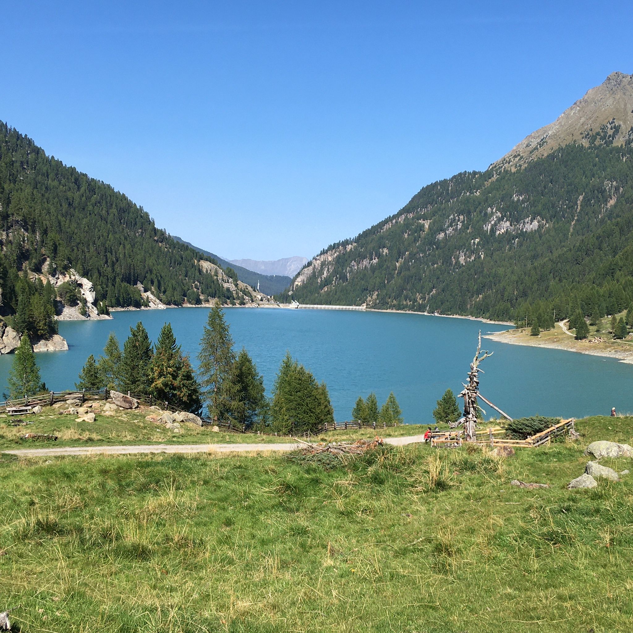
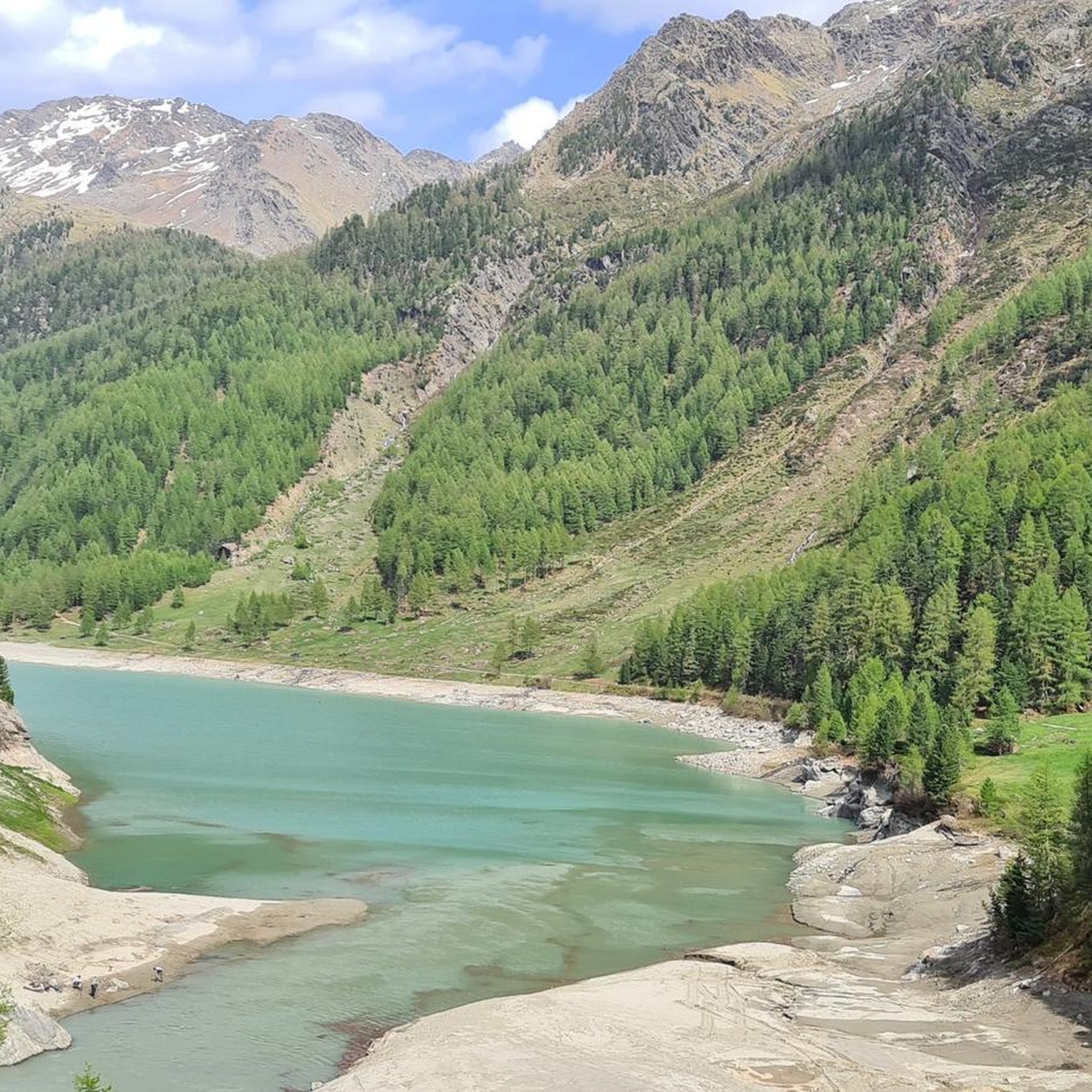
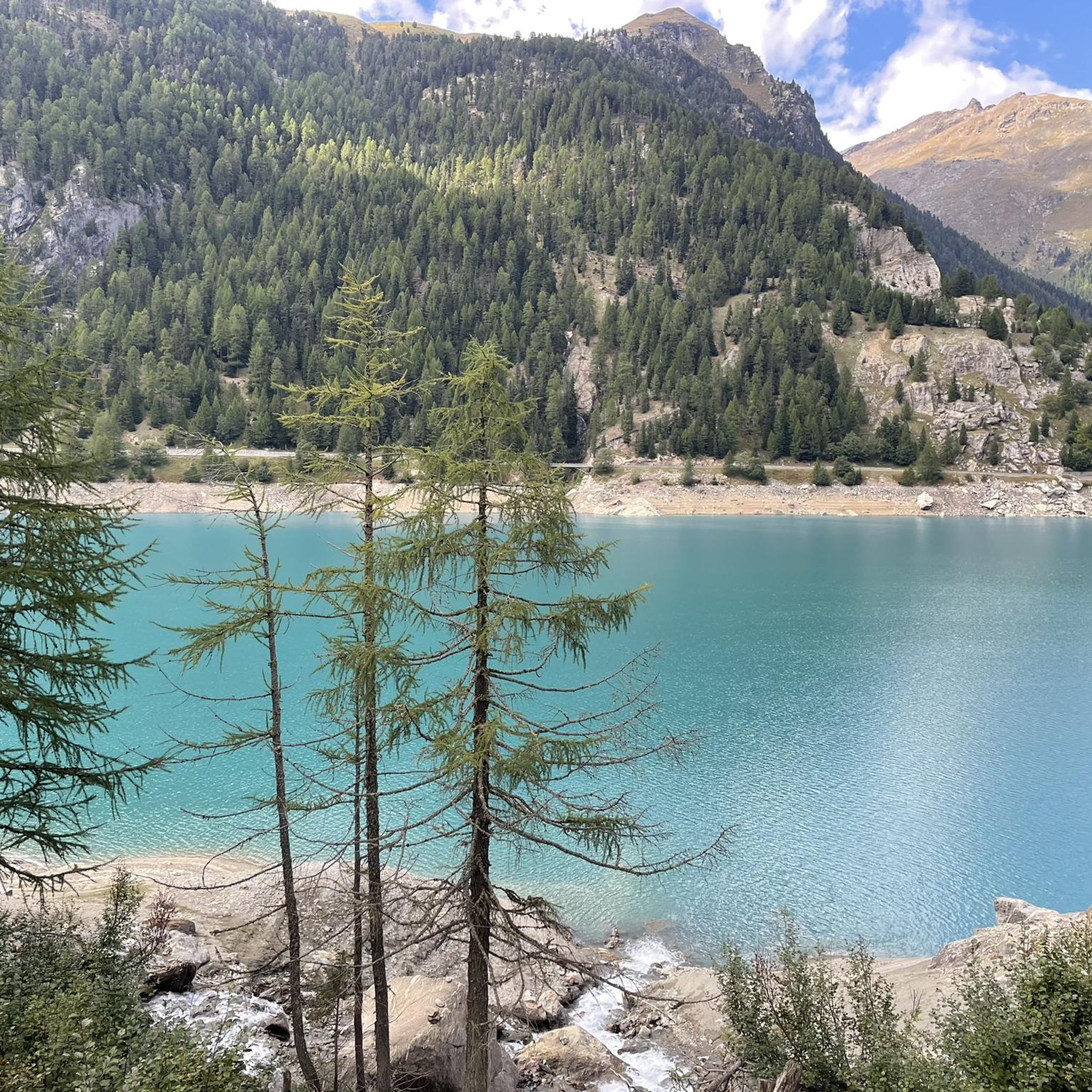
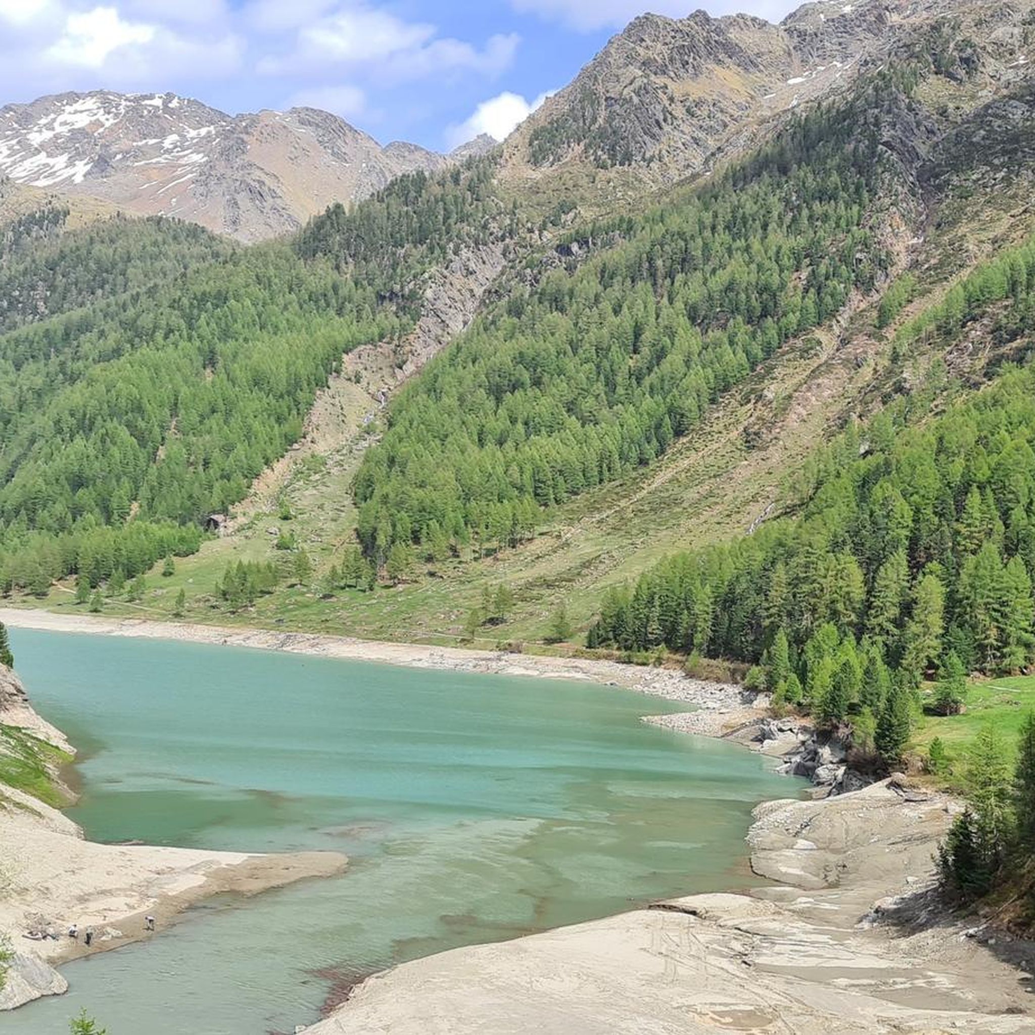
Mountaineering around Zufritt-Stausee - Lake di Gioveretto is set within the high-alpine environment of the Ortler Alps, characterized by towering peaks and glaciers. The region, part of the Stelvio National Park, features a dramatic landscape with elevations reaching over 3,400 meters. The lake itself is situated at 1,850 meters, fed by the Plima River, and surrounded by varied terrain including mountain forests and steppe-like slopes. This area offers challenging high-alpine routes that often involve glacier crossings and significant elevation gain.
…Last updated: October 8, 2026
5.0
(14)
70
hikers
14.0km
05:35
750m
750m
Hard mountaineering route. Very good fitness required. Mostly accessible paths. Sure-footedness required.
4.0
(2)
13
hikers
Hard mountaineering route. Very good fitness required. Sure-footedness, sturdy shoes and alpine experience required.

4.7
(3)
13
hikers
Hard mountaineering route. Good fitness required. Sure-footedness, sturdy shoes and alpine experience required.
5.0
(2)
13
hikers
12.2km
04:42
680m
680m
Hard mountaineering route. Good fitness required. Sure-footedness, sturdy shoes and alpine experience required.
5.0
(1)
11
hikers
Hard mountaineering route. Good fitness required. Sure-footedness, sturdy shoes and alpine experience required.
Get access to more routes and recommendations from other explorers.
Already have an account?
Our route recommendations are based on thousands of hikes, rides, and runs completed by other people on komoot.
Start today with a free account
Your next adventure awaits.
Popular around Zufritt-Stausee - Lake di Gioveretto
Tips from the Community

Unfortunately, I didn't take a photo of the Marteller Hütte. But the view from here of Cevedale is a big highlight!
0
0
The little church stands as a symbol of defense against the Italian Alpini on the Ortler front in World War I. The riflemen, in particular, keep the troops of that time in honor. I particularly regret that people had to face each other and fight each other - in an inhospitable, unwelcoming environment. And often even people who knew each other and had previously settled the mountains together from two sides.
0
0

“And since in the Sacred Heart there is a symbol and a tangible image of the infinite love of Jesus Christ, which moves us to love one another, it is therefore fitting that we consecrate ourselves to His Most Sacred Heart—an act that is nothing other than a sacrifice and a commitment to Jesus Christ, for all the honor, veneration, and love accorded to this divine Heart are truly and genuinely given to Christ Himself.” (Pope Leo XIII, “Annum Sacrum,” 1899)
1
0

Nice viewpoint, and beautiful waterfall, beautiful and well built bridge
0
0

The Plima-Schlut suspension bridge in the Martel Valley. A beautiful adventure trail. Suitable for families.
0
0

Beautiful old walk-in chapel
3
0
Be sure to go over it and be amazed
0
0

The spray is so refreshing after the climb
0
0
Frequently Asked Questions
What kind of mountaineering routes can I expect around Zufritt-Stausee?
The region, nestled within the Ortler Alps and part of the Stelvio National Park, offers a variety of high-alpine routes. These often involve significant elevation gain and can include glacier crossings. You'll find routes ranging from challenging ascents to prominent peaks to tours with stunning valley views. In total, there are 39 mountaineering routes available, with 22 rated as difficult and 17 as moderate.
Are there any unique climbing opportunities near Lake di Gioveretto?
Yes, the dam wall of Lake di Gioveretto itself offers a unique climbing experience. The "Alperia Staumauer Martell" climbing wall features over 40 routes suitable for various skill levels, providing a distinct mountaineering activity in the area.
Can I find circular mountaineering routes in the area?
Absolutely. Many routes are designed as loops, allowing you to start and end at the same point. For example, the Zufall Hut – Old Dam Wall in Martell Valley loop from Martell - Martello is an 8.8-mile circular trail offering views of the Martell Valley. Another option is the Zufrittspitze (3,439 m) loop from Zufritt-Stausee - Lago di Gioveretto, a challenging 9.9-mile loop leading to a prominent peak.
What are some notable natural features or landmarks to see along the routes?
The area is rich in natural beauty. You can explore the stunning Martell Valley, witness the turquoise waters of Lago di Gioveretto, and see the impressive Zufritt Dam. The Plima Gorge Path, mentioned in the region research, also features a series of small waterfalls, adding to the picturesque landscape.
What is the best time of year for mountaineering around Zufritt-Stausee?
The best time for mountaineering is typically during the warmer months, from late spring to early autumn, when the high-alpine trails are more accessible and free of heavy snow. However, the region's diverse terrain means conditions can vary, and some routes may involve glacier crossings, requiring appropriate gear and experience even in summer.
Are there options for families or less experienced mountaineers?
While many routes are challenging, the broader Stelvio National Park offers a range of trails. For mountaineering specifically around Zufritt-Stausee, the routes are generally rated as moderate to difficult. Less experienced individuals should consider guided tours or stick to the moderate trails, ensuring they are well-prepared for alpine conditions. The dam wall climbing routes also offer options for beginners.
Can I bring my dog on the mountaineering trails?
As the area is part of the Stelvio National Park, specific regulations regarding dogs apply. Generally, dogs are permitted on trails but must be kept on a leash to protect wildlife and ensure the safety of other hikers. It's always advisable to check the latest park regulations before your visit.
Are there mountain huts or places to stay overnight along the routes?
Yes, trails from Lake di Gioveretto lead to various mountain huts that can serve as bases for longer excursions or offer overnight stays. Examples include the Corsi al Cevedale Mountain Hut and the Martello Mountain Hut, providing essential services for mountaineers in the high-alpine environment.
How do other mountaineers rate the routes in this area?
The mountaineering routes around Zufritt-Stausee are highly regarded by the komoot community, with an impressive average rating of 4.9 stars from nearly 200 reviews. Mountaineers often praise the dramatic high-alpine landscape, the challenging terrain, and the expansive alpine vistas.
Is it possible to reach Zufritt-Stausee by public transport?
The Val Martello, where Zufritt-Stausee is located, is accessible by public transport, typically via bus services connecting from larger towns in South Tyrol. It's recommended to check local bus schedules for connections to Val Martello and the lake area, especially during peak season.
What kind of challenges should I expect on the difficult routes?
Difficult routes in this region, such as the Lyfialm – Lyfispitz (3,352 m) loop from Martell - Martello, involve significant elevation gains, often exceeding 1,300 meters. They traverse high-alpine terrain, which can include rocky sections, steep ascents, and potentially glacier crossings, requiring good physical condition, appropriate gear, and alpine experience.
Most popular routes around Zufritt-Stausee - Lake di Gioveretto
Most popular attractions around Zufritt-Stausee - Lake di Gioveretto

Get inspired with the komoot mobile app


Explore more
Browse the best Mountain Hikes & Routes in other regions.
