The best mountain hikes around Lac De Cap De Long
4.7
(19)
75
hikers
6
hikes
Mountaineering routes around Lac de Cap de Long are set within the high-altitude environment of the Hautes-Pyrénées, characterized by rugged, rock-strewn landscapes and numerous glacial lakes. The region is part of the Néouvielle nature reserve, featuring dramatic peaks, cascading waterfalls, and a significant reservoir held by an impressive dam. This area offers challenging terrain with substantial elevation gains, making it a prime destination for experienced mountaineers.
Best mountaineering routes around Lac De Cap De Long
- The most popular mountaineering route…
Last updated: August 27, 2026
4.0
(1)
7
hikers
13.4km
05:03
660m
670m
Hard mountaineering route. Very good fitness required. Mostly accessible paths. Sure-footedness required.
5.0
(1)
7
hikers
Hard mountaineering route. Very good fitness required. Sure-footedness, sturdy shoes and alpine experience required.

Sign up for free
4.8
(9)
22
hikers
12.6km
04:57
630m
630m
Moderate mountaineering route. Good fitness required. Mostly accessible paths. Sure-footedness required.
14
hikers
16.6km
05:44
850m
850m
Hard mountaineering route. Very good fitness required. Mostly accessible paths. Sure-footedness required.
4.8
(4)
8
hikers
8.69km
03:51
580m
580m
Moderate mountaineering route. Good fitness required. Mostly accessible paths. Sure-footedness required.
Our route recommendations are based on thousands of hikes, rides, and runs completed by other people on komoot.
Start today with a free account
Your next adventure awaits.
Login or Signup
Popular around Lac De Cap De Long

Panoramic Pyrenees – 15 hikers' peaks of over 3,000 metres
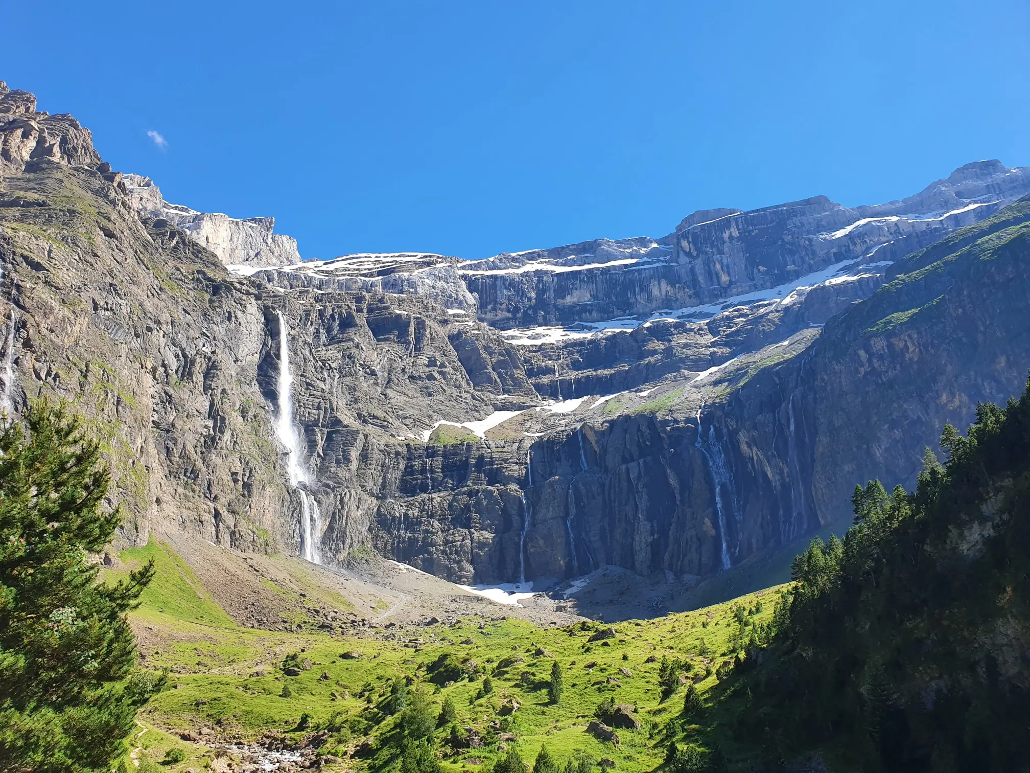
In the heart of the massif – the best hikes in the Central Pyrenees
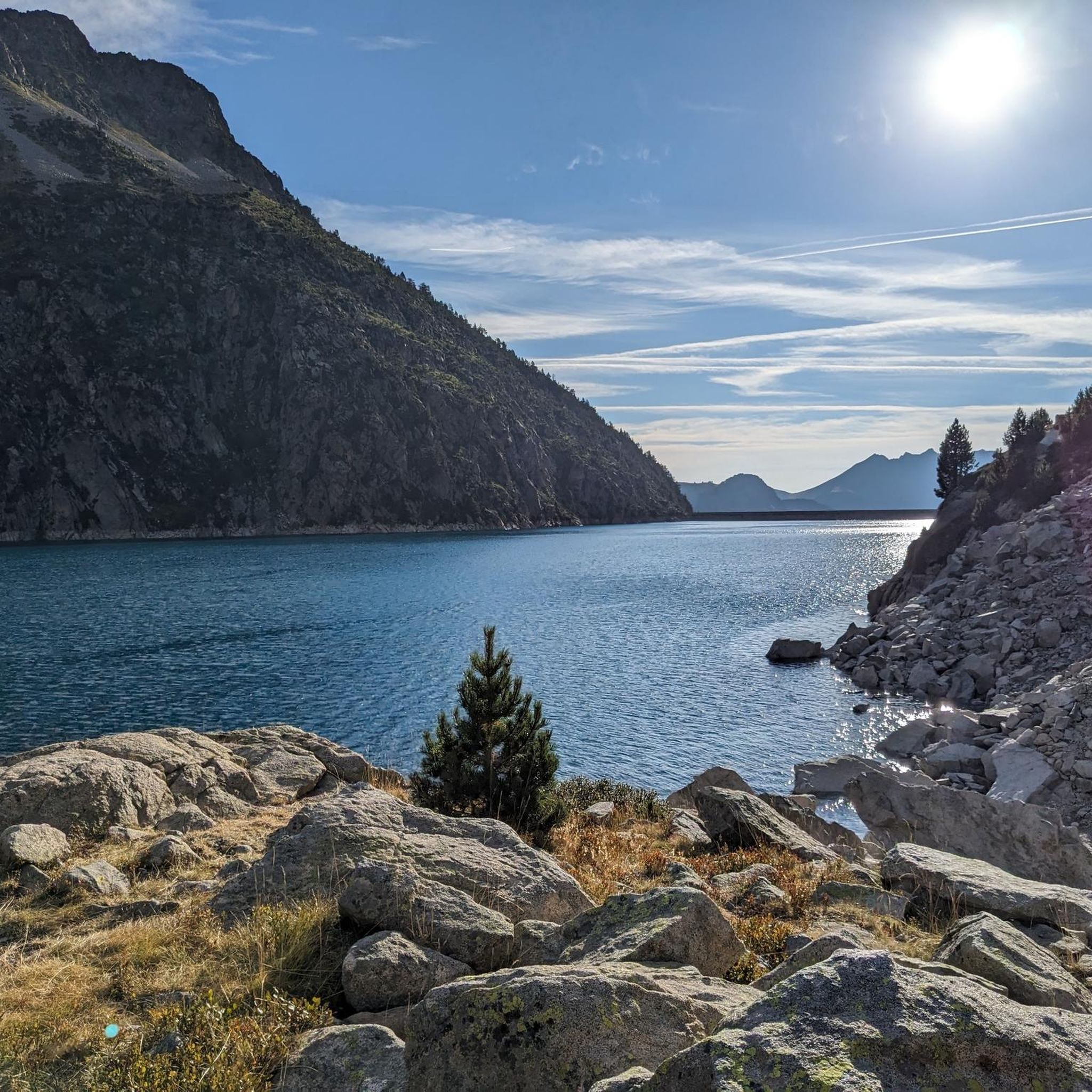
Road Cycling Routes around Lac De Cap De Long
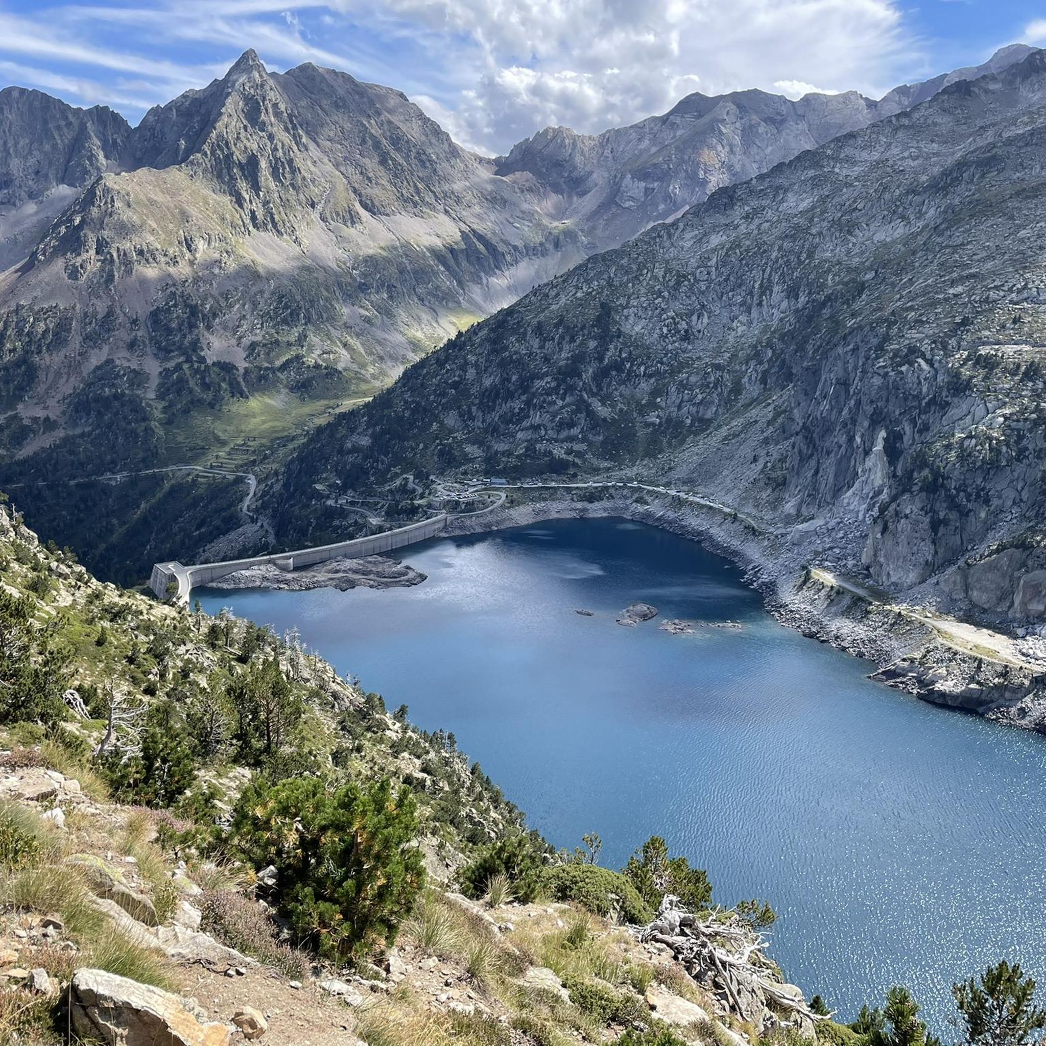
Running Trails around Lac De Cap De Long
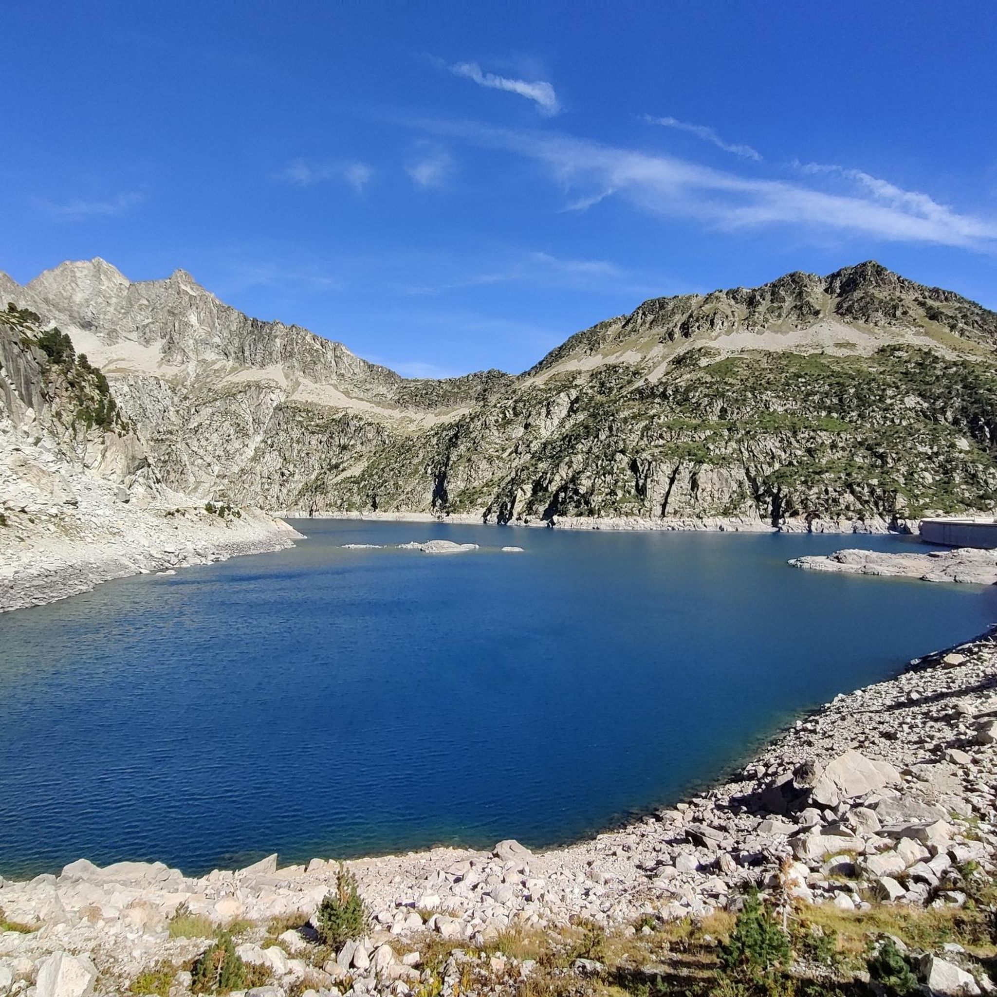
MTB Trails around Lac De Cap De Long
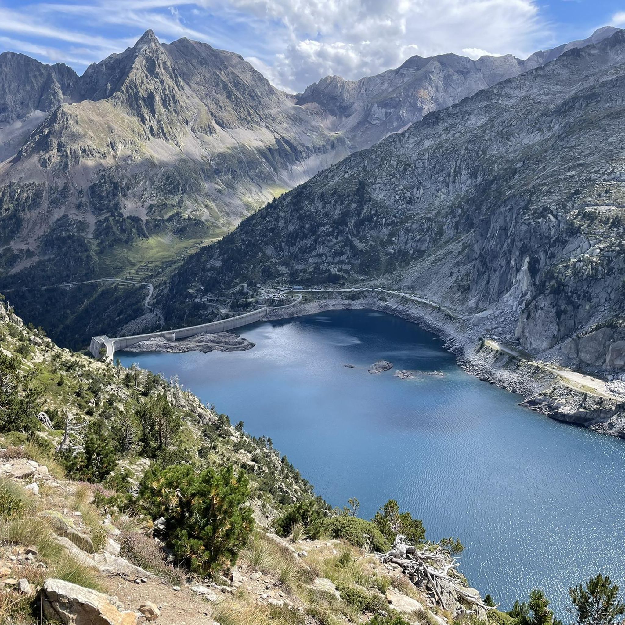
Hiking around Lac De Cap De Long
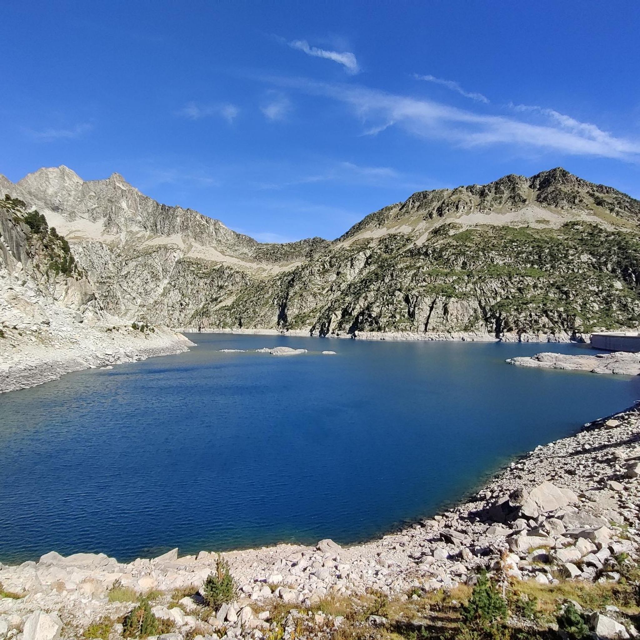
Cycling around Lac De Cap De Long

Tips from the Community

360-degree view over the Ayguecluze valley and the Deth Coubous valley
0
0

On the climb to Cap d'Long, a detour to this lake is highly recommended. The climb and the scenery above are even more beautiful than the first.
0
0

Magnificent lake with a path allowing you to admire it from all angles.
0
0
Large, welcoming refuge. An invigorating, cool shower during our stay. Very good meal and a great atmosphere in the evening. The caretaker was attentive. Maps, guidebooks, books, and board games are available in the common room.
1
0

Large car park at the foot of the Tourmalet, there is a bike park here and there are opportunities to walk to the Néouveille lakes.
0
0


The succession of lakes in the opposite direction to what the majority of hikers do is a real eye-opener 🤩 Be careful, departure at 9am from the paid parking lot 🅿️ and we were far from being the first!
0
0

There isn't much water. Only one lake is visible, the others are dry!
0
0
Frequently Asked Questions
What kind of mountaineering routes can I expect around Lac de Cap de Long?
The region offers a mix of moderate and difficult mountaineering routes. For instance, the Lac d'Oredon – Pas du Gat loop is a moderate path offering scenic views, while the Gourg de Cap de Long – Pic de Campbieil loop is a demanding route requiring good fitness and alpine experience.
How long do mountaineering routes typically take in this area?
Route durations vary depending on difficulty and distance. For example, the difficult Gourg de Cap de Long – Pic de Campbieil loop, covering 13.8 km, typically takes around 6 hours and 54 minutes. A shorter, difficult route like the Néouvielle Peak loop (8.0 km) can be completed in about 5 hours.
Are there any circular mountaineering routes available?
Yes, many routes around Lac de Cap de Long are designed as loops. Popular options include the difficult Lac Blanc – Col de Madamète loop and the moderate Lacs des Aires loop.
When is the best time of year for mountaineering around Lac de Cap de Long?
The high-altitude environment means that late spring through early autumn (typically June to September) offers the most favorable conditions for mountaineering, with less snow and more stable weather. Always check local weather forecasts and conditions before heading out.
What natural features or viewpoints can I expect to see on these routes?
Mountaineering routes here offer stunning views of the rugged Néouvielle massif, numerous glacial lakes (around 70 in the reserve), and cascading waterfalls. You'll also encounter the impressive 100-meter-high dam of Lac de Cap de Long itself, and potentially other nearby lakes like Lac d'Oredon, Aubert, and Aumar.
Are there family-friendly hiking options near Lac de Cap de Long?
While the guide focuses on mountaineering, the broader Néouvielle nature reserve offers scenic hiking trails around other nearby lakes like Lac d'Oredon, Aubert, and Aumar. These can provide a less strenuous experience for families looking to enjoy the high mountain environment.
Can I bring my dog on the trails in the Néouvielle Nature Reserve?
The Néouvielle Nature Reserve has specific regulations regarding dogs to protect its pristine natural beauty and wildlife. It's essential to check the current rules and designated areas for dogs before your visit, as restrictions may apply.
Where can I park when visiting Lac de Cap de Long for mountaineering?
Lac de Cap de Long is accessible via the D929, also known as the Route des Lacs. There are parking facilities available at the lake, which serves as a starting point for many mountaineering routes. Due to its popularity, especially during peak season, it's advisable to arrive early.
Is public transport available to reach Lac de Cap de Long?
Access to Lac de Cap de Long, particularly the high-altitude D929 road, is primarily by private vehicle. Public transport options directly to the lake are limited or non-existent, especially outside of peak tourist seasons. It's best to plan for car access.
Do I need any permits for mountaineering in the Néouvielle Nature Reserve?
Generally, day hiking and mountaineering within the Néouvielle Nature Reserve do not require specific permits for access. However, it's always wise to check with local tourism offices or the reserve's official website for any updated regulations or specific requirements, especially for activities like bivouacking or large group expeditions.
What do other mountaineers enjoy the most about mountaineering in Lac de Cap de Long?
The area is highly rated by the komoot community, with an average score of 4.8 stars. Reviewers often praise the dramatic high-altitude landscapes, the challenge of the routes, and the sense of unspoiled wilderness within the Néouvielle nature reserve.
Are there places to eat or stay near Lac de Cap de Long?
While Lac de Cap de Long itself is a high-altitude, relatively remote location, there are typically refuges or small establishments open during the main season. For more extensive options for accommodation and restaurants, you would need to descend to nearby villages or towns in the Hautes-Pyrénées.
Most popular routes around Lac De Cap De Long

Get inspired with the komoot mobile app


Explore more
Browse the best Mountain Hikes & Routes in other regions.
