The best MTB trails around Richmond
4.5
(8)
176
riders
18
rides
Mountain biking around Richmond features a diverse landscape, primarily characterized by its flat, riverine terrain along the Fraser River, with extensive dyke systems offering scenic, accessible routes. The region provides views of the surrounding mountains and waterways, making it suitable for various skill levels. Trails often traverse urban parks, waterfront areas, and natural reserves, providing a mix of paved and unpaved surfaces.
Best mountain bike trails around Richmond
- The most popular mountain bike trail is Brockton Point Lighthouse – Lions…
Last updated: July 5, 2026
5.0
(4)
16
riders
Easy mountain bike ride. Great for any fitness level. Suitable for all skill levels.
4.0
(2)
17
riders
37.3km
03:14
960m
960m
Hard mountain bike ride. Very good fitness required. Advanced riding skills necessary. Some portions of the route may require you to push your bike.

Sign up for free
4.0
(1)
20
riders
39.9km
03:19
940m
940m
Hard mountain bike ride. Very good fitness required. Advanced riding skills necessary. Some portions of the route may require you to push your bike.
15
riders
Moderate mountain bike ride. Good fitness required. Advanced riding skills necessary.
8
riders
31.5km
02:06
40m
40m
Moderate mountain bike ride. Good fitness required. Suitable for all skill levels.
Get access to more routes and recommendations from other explorers.
Sign up for free
Already have an account?
Our route recommendations are based on thousands of hikes, rides, and runs completed by other people on komoot.
Start today with a free account
Your next adventure awaits.
Login or Signup

Tips from the Community

Here, the Avison Trail crosses over Stanley Park Causeway via a sidewalk on Stanley Park Drive and gives one of the best viewpoints over Lions Gate Bridge. There is an informational sign on the sidewalk about the bridge, and the viewpoints look straight down the bridge from between the forests.
1
0
This historic site sits right on Richmond's Steveston waterfront, and entrance is free. It's a glimpse back in time to the 1880s community of canneries, boatyards, and homes. These buildings tell the stories of the Chinese, European, First Nations, and Japanese labourers. Visitors can explore the Seine Net Loft, Murakami House, Richmond Boat Builders, the Britannia Shipyard building, stilt houses, and the Chinese Bunkhouse.
0
0

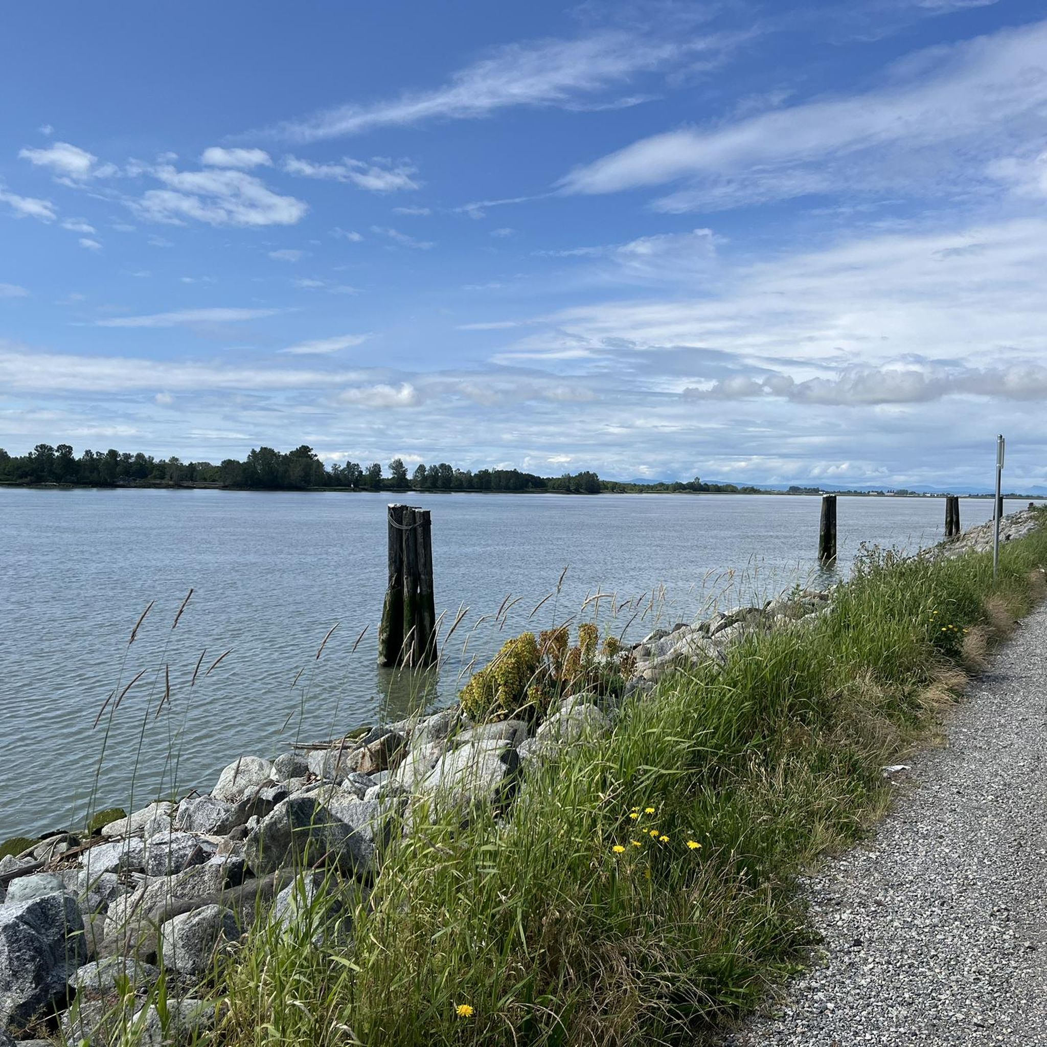
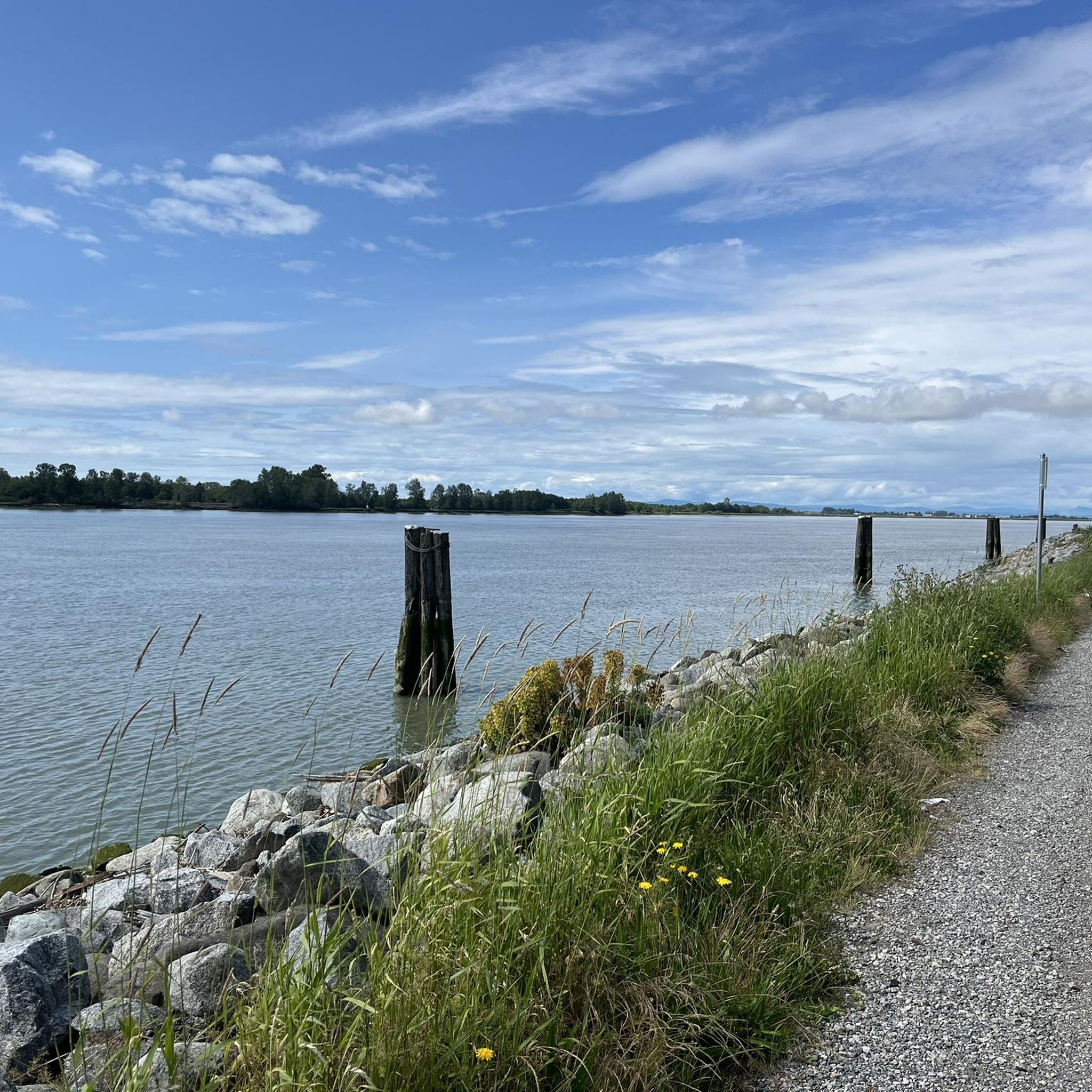
This 5.5-kilometer multi-use trail follows along the middle arm of the Fraser River and passes through or by a number of parks, sculpture gardens, and viewpoints. It also connects with the West Dyke Trail at its western end if you're looking to do a longer excursion.
0
0

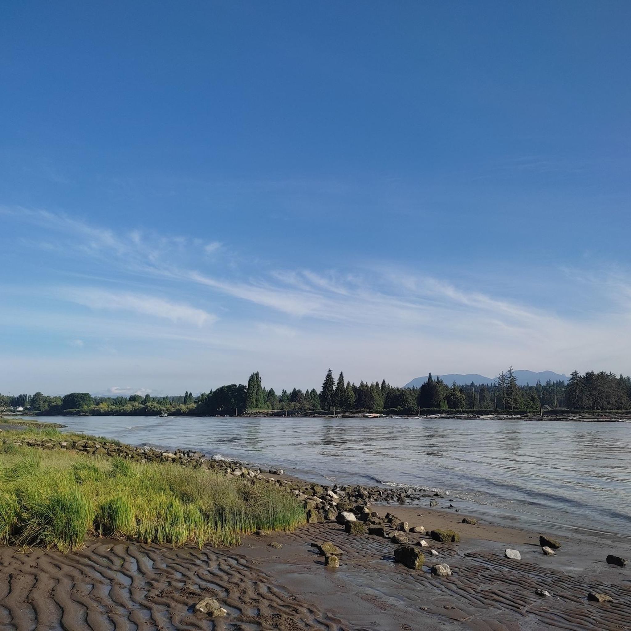
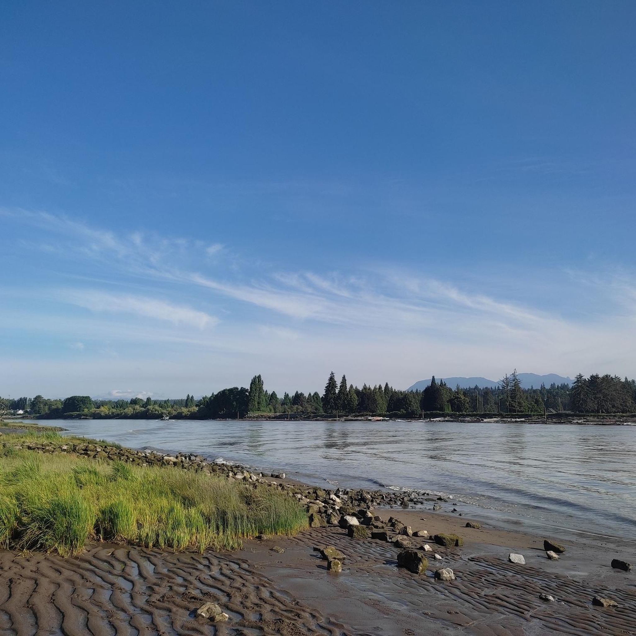
You can find a mix of flat gravel trails connecting a boardwalk and wildlife viewing area, community garden, playground and restrooms. The small spiral trail up a low hill on the west side of the park is a great spot from which to watch the sunset.
1
0
This park has well-maintained easy walking trails, clean restrooms, and panoramic views of the Fraser River and open ocean to the east. In the spring you can come here to see the orchard of cherry blossom trees lining the path.
0
0
Watershed Park is a beautiful forested park with an extensive trail system that beckons hikers, trail runners, and mountain bikers to explore its inner realms. There's also nice viewpoints over Mud Bay and an open meadow with a picnic area.
0
0

Very cool watch, whistles like a steam engine
0
0

Frequently Asked Questions
How many mountain bike trails are available around Richmond?
There are nearly 20 mountain bike trails around Richmond, offering a variety of experiences for different skill levels. These routes are highly rated by the komoot community, with an average score of 4.6 stars.
Are there easy mountain bike trails suitable for beginners in Richmond?
Yes, Richmond offers several easy mountain bike trails perfect for beginners. For example, the Brockton Point Lighthouse – Lions Gate Bridge loop from Broadway–City Hall is an easy 15.3-mile route with waterfront views. Another great option is the Goats Trail loop from Cougar Canyon Environmental Reserve, an easy 4.3-mile path through a natural reserve.
Where can I find more challenging mountain bike trails in Richmond?
For those seeking a more challenging ride, the Severed D – Top of GSM Trail loop from Rupert is a difficult 23.5-mile trail featuring varied terrain and significant elevation changes, typically taking over 3 hours to complete.
Are there any family-friendly mountain bike trails in Richmond?
Many of the easy trails along the dyke systems and through urban parks are suitable for families. These routes often feature flat, paved or well-maintained unpaved surfaces, making them accessible for riders of all ages. The Granville Island – Acadia Beach loop from Broadway–City Hall is an easy 15.4-mile route that offers scenic views and passes through interesting areas, which can be enjoyable for families.
What kind of terrain can I expect on mountain bike trails around Richmond?
Mountain biking around Richmond is characterized by diverse terrain, including riverfront dykes, urban park paths, and natural reserve trails. You'll find a mix of paved and unpaved surfaces, with routes ranging from flat, scenic rides along the Fraser River to more varied terrain with some elevation gain in areas like the Severed D – Top of GSM Trail loop from Rupert.
Are there mountain bike trails with good viewpoints in Richmond?
Yes, many trails offer scenic viewpoints, particularly those along the waterfront. The Brockton Point Lighthouse – Lions Gate Bridge loop from Broadway–City Hall provides stunning views of the waterfront and iconic landmarks. Trails along the Fraser River dykes also offer expansive views of the river and surrounding mountains.
What is the best time of year for mountain biking in Richmond?
The spring, summer, and fall months generally offer the best conditions for mountain biking in Richmond, with milder temperatures and less precipitation. However, due to the region's temperate climate, many trails, especially the dyke systems, can be ridden year-round, though winter rides may require appropriate gear for wet conditions.
Are there loop mountain bike trails in Richmond?
Yes, many of the mountain bike trails in Richmond are designed as loops, offering convenient starting and ending points. Examples include the Brockton Point Lighthouse – Lions Gate Bridge loop from Broadway–City Hall, the Goats Trail loop from Cougar Canyon Environmental Reserve, and the Finn Slough – Dyke Gravel Path loop from Capstan.
What are some interesting landmarks or attractions near the mountain bike trails?
While riding, you can explore several interesting landmarks and natural features. The Brockton Point Lighthouse – Lions Gate Bridge loop passes by iconic structures. Other nearby attractions include Siwash Rock (Slhx̱í7lsh), English Bay Beach, and the historic Gastown Steam Clock. You can also find serene spots like Lost Lagoon and Beaver Lake Water Lilies.
What do other mountain bikers enjoy most about the trails in Richmond?
The mountain bike trails in Richmond are highly rated by the komoot community, with an average score of 4.6 stars from over 14 reviews. Riders often praise the diverse landscape, the scenic waterfront views, and the accessibility of routes for various skill levels, from easy dyke rides to more challenging forest trails.
How long are the mountain bike trails near Richmond?
The length of mountain bike trails near Richmond varies significantly. You can find shorter routes like the Goats Trail loop from Cougar Canyon Environmental Reserve at 4.3 miles (7.0 km), or longer excursions such as the Severed D – Top of GSM Trail loop from Rupert, which is 23.5 miles (37.8 km) long.
Most popular routes around Richmond
Most popular attractions around Richmond

Get inspired with the komoot mobile app


Explore more
Browse the best MTB trails in other regions.
