The best road cycling routes around Richmond
4.4
(249)
12,574
riders
15
rides
Road cycling around Richmond, Virginia, is characterized by its diverse landscapes, which include rolling hills, extensive river park systems, and dedicated paved trails. The region offers a mix of urban routes, scenic paths along waterways like the James River, and routes through natural parks. This varied topography provides options for different cycling preferences, from flatter sections suitable for longer distances to routes with moderate elevation changes.
Best road cycling routes around Richmond
- The most popular road cycling route is Spanish…
Last updated: October 13, 2026
4.3
(3)
400
riders
35.0km
01:41
280m
280m
Moderate road ride. Great for any fitness level. Some segments of this route may be unpaved and difficult to ride.
4.0
(3)
110
riders
46.0km
03:04
50m
50m
Moderate road ride. Good fitness required. Some segments of this route may be unpaved and difficult to ride.

4.8
(5)
93
riders
33.2km
01:24
40m
40m
Moderate road ride. Great for any fitness level. Some segments of this route may be unpaved and difficult to ride.
5.0
(1)
91
riders
Easy road ride. Great for any fitness level. Mostly well-paved surfaces and easy to ride.
5.0
(3)
51
riders
Easy road ride. Great for any fitness level. Mostly well-paved surfaces and easy to ride.
Get access to more routes and recommendations from other explorers.
Already have an account?
Our route recommendations are based on thousands of hikes, rides, and runs completed by other people on komoot.
Start today with a free account
Your next adventure awaits.

Tips from the Community

You should know that Acadia Beach is part of a larger area that includes clothing-optional sections further along the coast. Because it is a natural park, there are no lifeguards on duty, so you should be careful if you decide to dip your toes in the cold water. It is a perfect spot for you to enjoy a peaceful picnic.
0
0
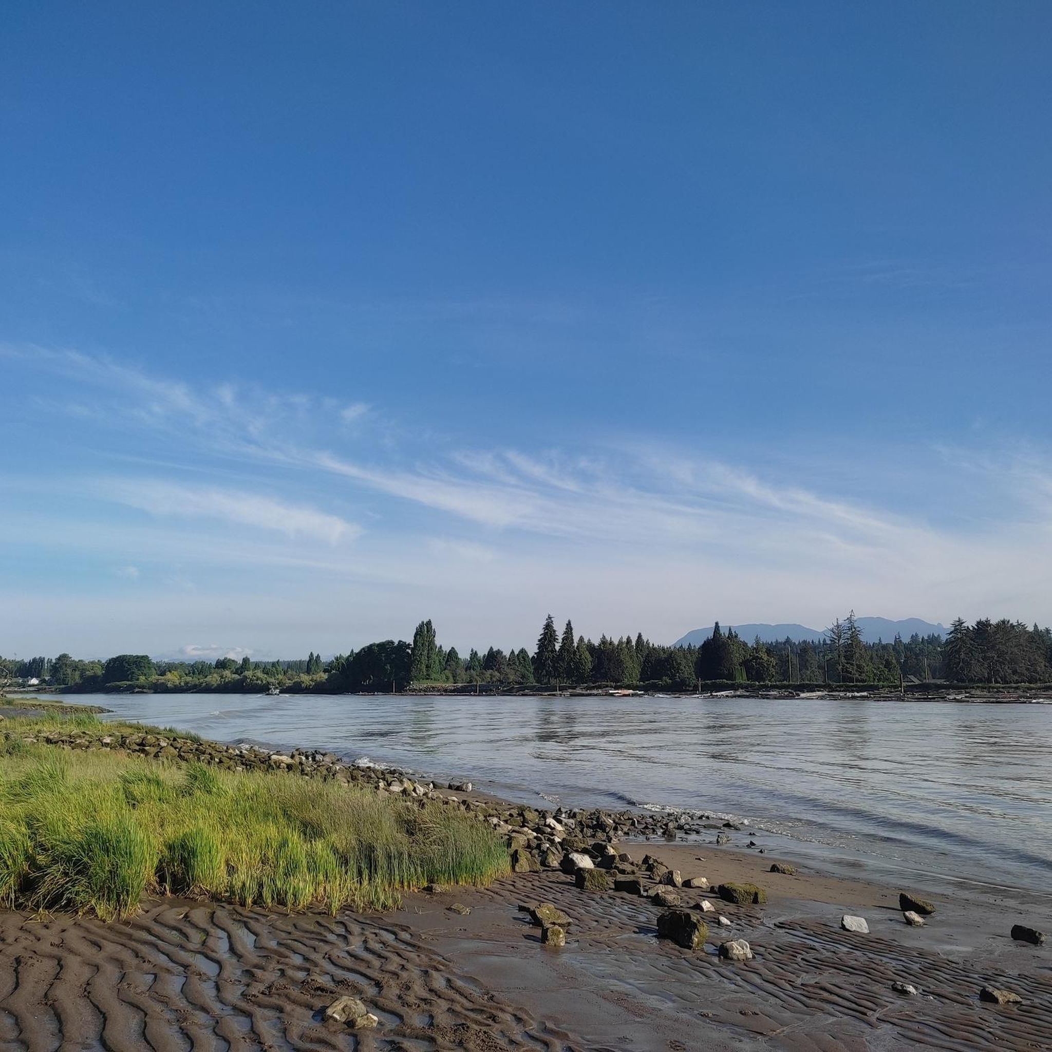
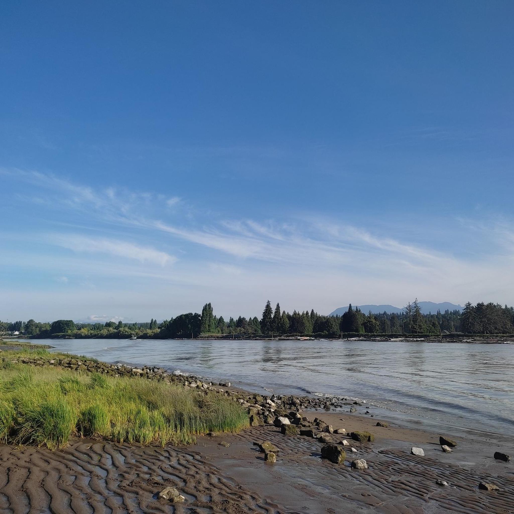
The landmark sits near SW Marine Drive, along the western edge of the park, and it honors the historic 1808 journey of explorer Simon Fraser and John Stuart, who traveled the great Fraser River all the way to the Pacific Ocean. From the monument area, you can look out toward the North Arm of the Fraser River and take in views of the natural landscape.
0
0

The Railway Greenway is built on the former Lulu Island route of the BC Electric Railroad, which ran from 1905 to 1958. Today, this greenway stretches 5 kilometres from the Britannia Shipyards to where it meets the Middle Arm Dyke Recreational Trail. Along the route, there is a bike pump track, public bathrooms, drinking fountains, community gardens, and bike racks.
0
0
This historic site sits right on Richmond's Steveston waterfront, and entrance is free. It's a glimpse back in time to the 1880s community of canneries, boatyards, and homes. These buildings tell the stories of the Chinese, European, First Nations, and Japanese labourers. Visitors can explore the Seine Net Loft, Murakami House, Richmond Boat Builders, the Britannia Shipyard building, stilt houses, and the Chinese Bunkhouse.
0
0
The Railway Granville Bike Park is centred around a pump track, which is great for kids and beginner bikers. The track is paved with coloured lines that are easy to follow and keep bike traffic flowing safely. This park has benches, a water fountain, street parking but minimal shade, and no restroom. Restrooms can be found across the street at the Thompson Community Centre.
0
0

You can find a mix of flat gravel trails connecting a boardwalk and wildlife viewing area, community garden, playground and restrooms. The small spiral trail up a low hill on the west side of the park is a great spot from which to watch the sunset.
1
0
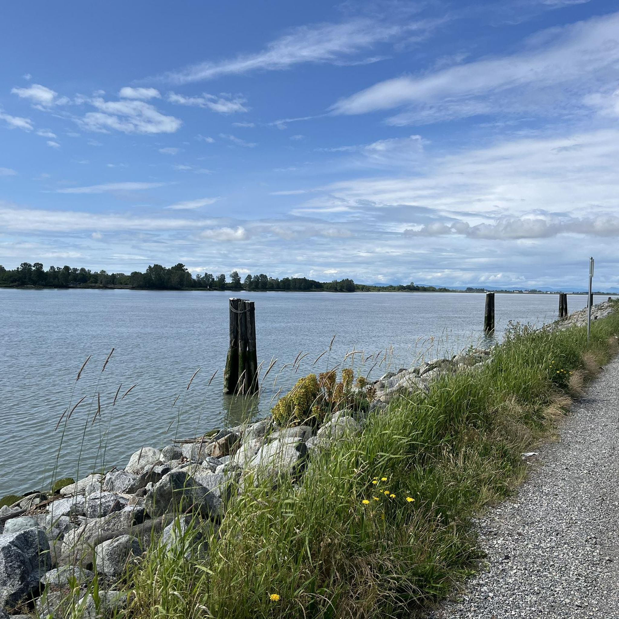
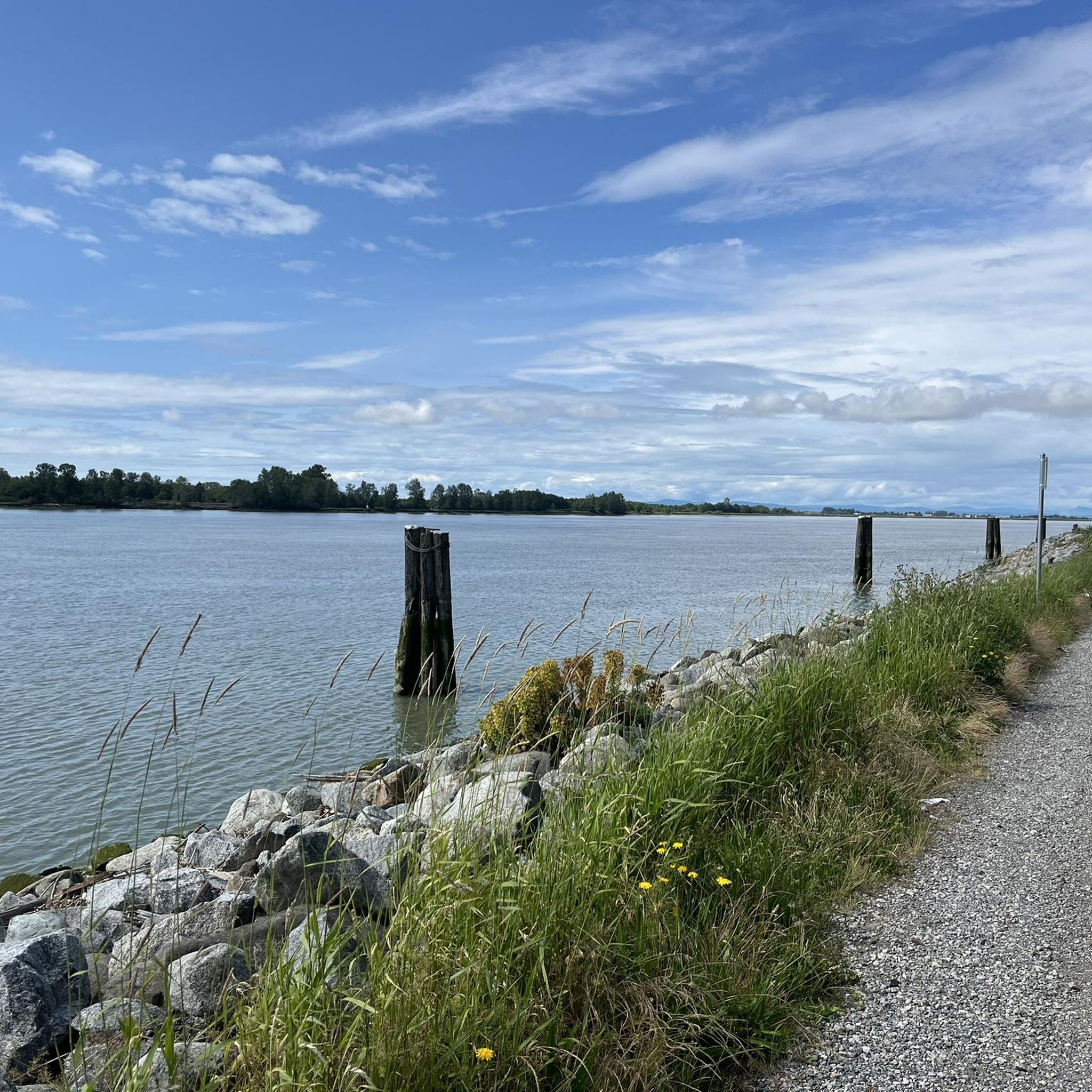
This park has well-maintained easy walking trails, clean restrooms, and panoramic views of the Fraser River and open ocean to the east. In the spring you can come here to see the orchard of cherry blossom trees lining the path.
0
0

Iona Beach Regional Park is located just northwest of Vancouver International Airport, at the point where the Fraser River meets the Pacific Ocean. Visitors can explore the shoreline or wander along the trails that wind through the grassy inland areas.
0
0
Frequently Asked Questions
How many road cycling routes are available around Richmond?
Richmond offers a diverse selection of 17 road cycling routes, catering to various preferences and skill levels. These routes are highly rated by the komoot community, with an average score of 4.6 stars.
What are the difficulty levels of road cycling routes in Richmond?
The road cycling routes in Richmond range from easy to moderate. You'll find 10 easy routes, perfect for a relaxed ride, and 7 moderate routes for those seeking a bit more challenge. There are no difficult routes listed in this guide, making the area accessible for a wide range of cyclists.
What is the best season for road cycling in Richmond?
Richmond's diverse landscapes make it enjoyable for road cycling across multiple seasons. Spring and fall generally offer the most pleasant temperatures and vibrant scenery. However, with its varied topography, including dedicated paved trails and urban routes, cycling can be a year-round activity, weather permitting.
Are there scenic road cycling routes in Richmond?
Absolutely. Richmond is known for its scenic routes. For example, the Spanish Banks Climb – View of English Bay loop from Bridgeport offers captivating views of English Bay. Many routes also traverse areas with river views, historic landmarks, and diverse natural landscapes, including sections of the Virginia Capital Trail.
What landmarks or attractions can I see along Richmond's road cycling routes?
Richmond's routes often pass by significant natural and historical attractions. You might encounter natural monuments like Siwash Rock (Slhx̱í7lsh), or enjoy views from English Bay Beach. The region's extensive park systems, such as the James River Park System, also offer numerous points of interest.
Are there any routes that offer views of the James River or city skyline?
Yes, several areas in Richmond provide stunning views of the James River and the city skyline. The Virginia Capital Trail, for instance, runs largely parallel to the scenic Route 5 corridor, offering captivating river views. Parks like Libby Hill Park and Oregon Hill Overlook also provide panoramic vistas that can be incorporated into or enjoyed near cycling routes.
Are there family-friendly road cycling paths in Richmond?
Richmond offers several options suitable for families. The Virginia Capital Trail is a dedicated, paved trail that is largely flat and safe for cyclists of all ages. Routes with minimal elevation gain, such as the Steveston Channel – Finn Slough loop from Lansdowne, are also excellent choices for a family outing.
Are there any circular road cycling routes in Richmond?
Many of Richmond's road cycling routes are designed as loops, allowing you to start and end at the same point. Examples include the Spanish Banks Climb – View of English Bay loop from Bridgeport and the Woodward's Landing Park – Finn Slough loop from YVR–Airport, providing convenient options for exploring the area.
Where can I find parking for road cycling trails in Richmond?
Parking availability varies by trail. For the Virginia Capital Trail, numerous access points along its 52-mile stretch offer parking. State parks like Pocahontas State Park also provide designated parking areas for trail access. For urban routes, public parking garages or street parking may be available near trailheads.
Is public transport accessible to Richmond's bike trails?
Public transport access to Richmond's bike trails is available, particularly for routes within the city. The Richmond Bike Loop, for example, navigates through downtown and the Depot Districts, which are well-served by public transit. For trails further out, like sections of the Virginia Capital Trail, access might require a combination of public transport and a short ride.
What do other road cyclists enjoy most about cycling in Richmond?
The area is highly rated by the komoot community, with an average score of 4.6 stars from over 20 reviews. Cyclists often praise the diverse landscapes, from rolling hills to extensive river park systems, and the dedicated paved trails. The variety of routes, catering to different ability levels, is also a frequently highlighted positive aspect.
Are there routes with minimal elevation gain for endurance rides?
Yes, Richmond offers routes with minimal elevation gain, ideal for longer endurance rides. The Woodward's Landing Park – Finn Slough loop from YVR–Airport is a moderate 28.8-mile path with minimal elevation, perfect for extending your time in the saddle. Similarly, the Steveston Channel – Finn Slough loop from Lansdowne is a 21.0-mile trail leading through flat terrain.
Can I find routes that explore historic areas in Richmond?
Richmond is rich in history, and several cycling routes allow you to explore historic areas. The Virginia Capital Trail, for instance, connects Richmond to Jamestown, passing by historical landmarks along the way. Additionally, areas like the battlefield roads off Route 5 offer less-traveled routes through historically significant landscapes.
Most popular routes around Richmond
Most popular attractions around Richmond

Get inspired with the komoot mobile app


Explore more
Browse the best Road cycling routes in other regions.
