The best MTB trails around Area C (Arrowsmith-Benson)
4.7
(10)
292
riders
12
rides
Mountain biking around Area C (Arrowsmith-Benson) offers diverse landscapes, from dense coastal forests to areas with significant elevation changes. The region features extensive singletrack networks, incorporating natural rock sections and cedar bridges over seasonal streams. Mount Benson Regional Park provides panoramic views of Nanaimo and the Strait of Georgia, while Benson Creek Falls Regional Park is known for its steep ravines and waterfalls. This varied topography creates a compelling destination for mountain bikers.
Best mountain bike trails around Area C…
Last updated: October 8, 2026
5.0
(1)
142
riders
30.7km
03:06
770m
770m
Hard mountain bike ride. Good fitness required. Advanced riding skills necessary. Some portions of the route may require you to push your bike.
46
riders
14.0km
01:46
560m
560m
Hard mountain bike ride. Good fitness required. Advanced riding skills necessary. Some portions of the route may require you to push your bike.

4.7
(3)
25
riders
10.7km
01:01
190m
190m
Moderate mountain bike ride. Great for any fitness level. Advanced riding skills necessary.
5.0
(1)
25
riders
8.65km
01:03
320m
320m
Hard mountain bike ride. Good fitness required. Advanced riding skills necessary. Some portions of the route may require you to push your bike.
5.0
(1)
13
riders
10.3km
01:10
320m
320m
Moderate mountain bike ride. Good fitness required. Advanced riding skills necessary.
Get access to more routes and recommendations from other explorers.
Already have an account?
Our route recommendations are based on thousands of hikes, rides, and runs completed by other people on komoot.
Start today with a free account
Your next adventure awaits.
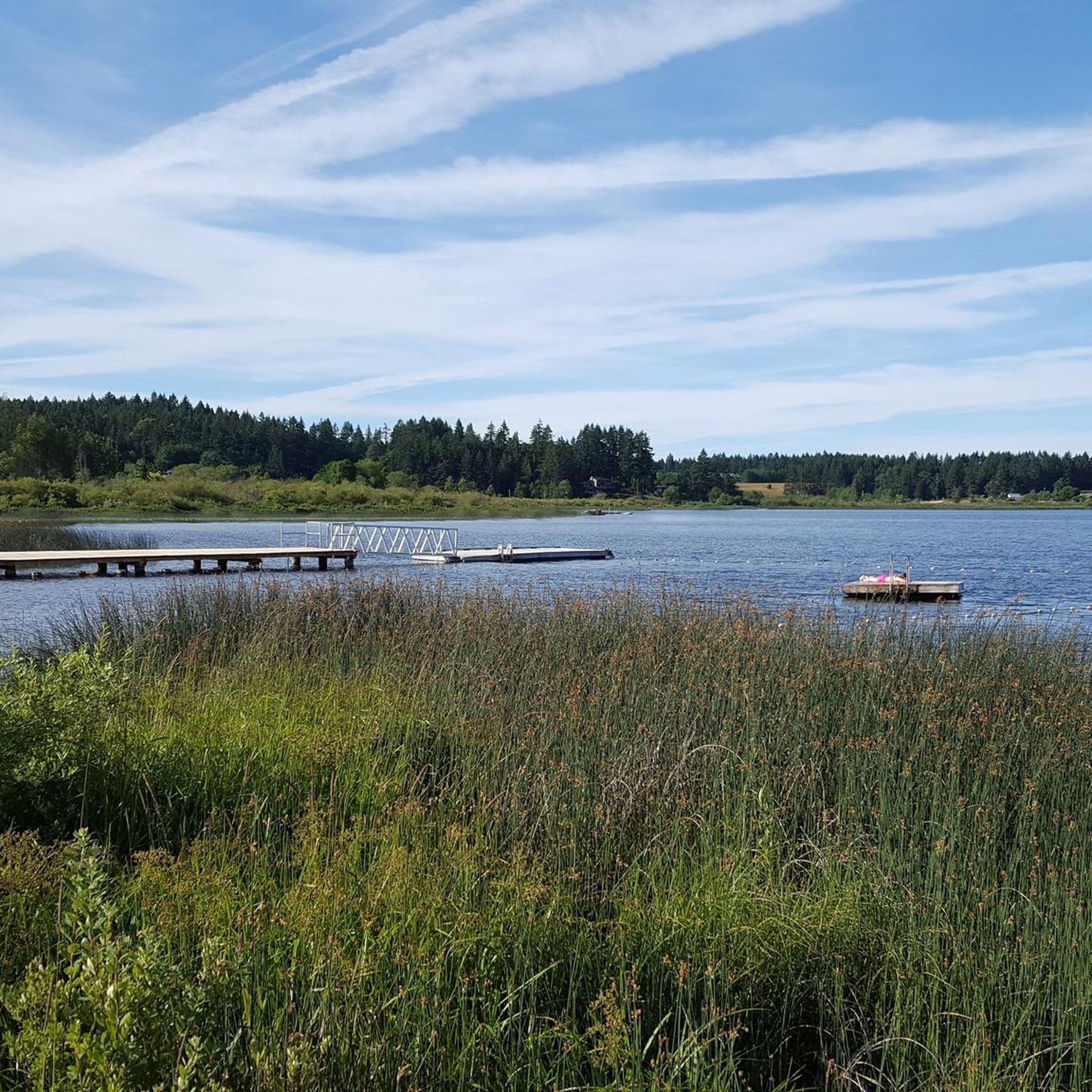
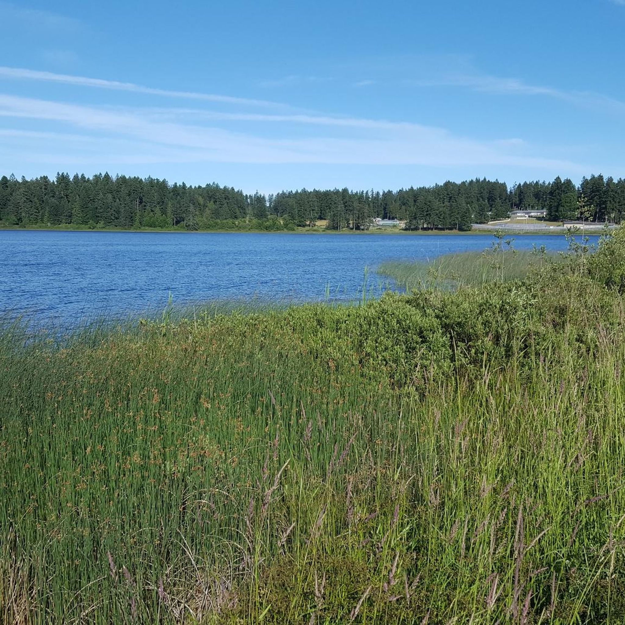
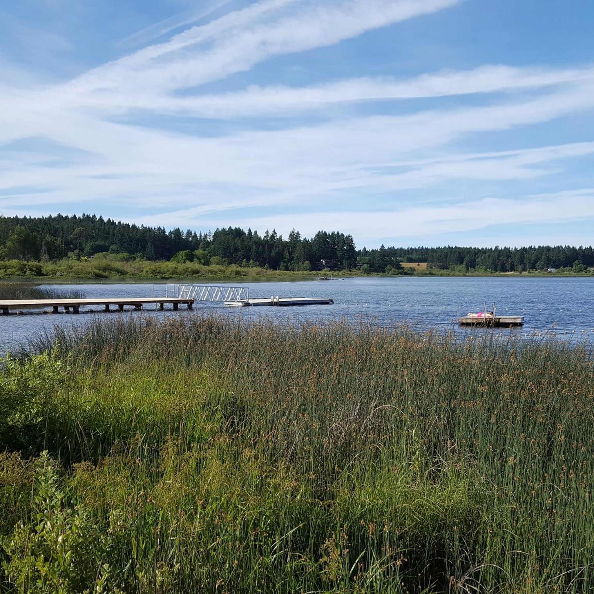
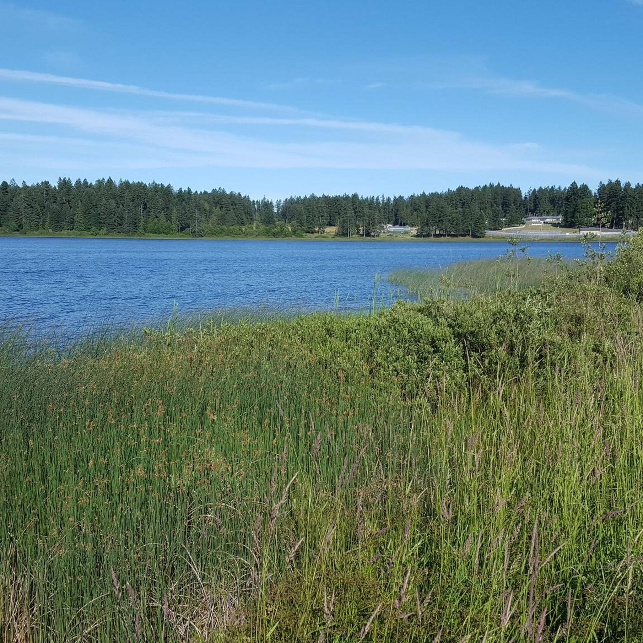
Tips from the Community

The path leading down to the Morrell Lake viewpoint transitions into well-maintained dirt and gravel tracks that are mostly flat and comfortable for hikers of all skill levels. Because this area is much more secluded, it is a prime spot for photography, or birdwatching without the crowds.
0
0

Located on the northeast side of Colliery Dam Park, this is the larger of the two lakes. From here, you have lake access for swimming or can just hang out at one of the picnic tables along the side.
0
0

Colliery Dam Park is a beautiful, forested green space built around two small lakes that were once used for hydroelectric power. Today, it’s a popular spot for walking, swimming, fishing, and off-leash dog play, with well-maintained trails looping around both lakes. The mix of bridges, waterfalls, and big-leaf maples makes it a favorite year-round spot for spending time outdoors in this beautiful urban park.
0
0
This quiet lake is located behind the dam and is surrounded by beautiful evergreens. From this vantage point, you can see the water and the forest reflected in it. There are several benches here, perfect for a spot to relax and appreciate the peaceful surroundings.
0
0


Jumps not mandatory with ride arounds.
0
0

Stay to the right side of the main paved road heading up. The other side going back to your vehicle is the downhill portion.
0
0
Frequently Asked Questions
How many mountain bike trails are available in Area C (Arrowsmith-Benson)?
Area C (Arrowsmith-Benson) offers a diverse network of mountain bike trails. There are 14 recorded mountain bike tours in the region on komoot, catering to various skill levels.
What is the range of difficulty for mountain bike trails in Area C (Arrowsmith-Benson)?
The trails in Area C (Arrowsmith-Benson) cater to a wide range of abilities. You'll find 2 easy routes, 10 moderate routes, and 2 difficult routes, ensuring options for beginners to advanced riders. The region features extensive singletrack networks, with some trails incorporating challenging features and significant elevation changes.
Are there family-friendly mountain bike trails in Area C (Arrowsmith-Benson)?
Yes, there are family-friendly options available. The North Benson / Jameson area, for instance, offers family-friendly singletracks. For a specific route, consider the View of Nanaimo Harbour loop from Petroglyph Provincial Park, which is rated as easy.
Can I bring my dog on the mountain bike trails in Area C (Arrowsmith-Benson)?
While specific regulations for dogs on all trails can vary, generally, dogs are welcome on many outdoor trails in the region. It's always best to keep your dog on a leash and ensure you clean up after them to maintain trail etiquette and protect local wildlife.
Are there any waterfalls or notable natural features to see while mountain biking?
Absolutely! The region is rich in natural beauty. You can visit Ammonite Falls, a significant waterfall known for its surrounding rock layers containing fossils. Another unique natural feature is Hole-in-the-Wall, a natural waterfall with a 'keyhole' effect. The Forest Path loop from Benson Creek and Ammonite Falls North Parking Lot winds through mossy woods and offers views near Ammonite Falls.
Where can I find panoramic views along the mountain bike trails?
For breathtaking panoramic views, head towards Mount Benson Regional Park. From its upper north-east slopes, you can enjoy expansive vistas of Nanaimo, the Strait of Georgia, the mainland Coast Mountains, the Nanaimo River valley, and the Vancouver Island Ranges, including Mount Arrowsmith.
What is the best time of year to go mountain biking in Area C (Arrowsmith-Benson)?
Mountain biking is enjoyable throughout much of the year. However, the waterfalls, such as Ammonite Falls, are particularly spectacular during winter and spring due to higher water flow. The dense coastal forests offer shade in summer, while fall brings vibrant colors. Always check local weather conditions before heading out.
Are there many circular mountain bike routes in Area C (Arrowsmith-Benson)?
Yes, many of the mountain bike routes in Area C (Arrowsmith-Benson) are designed as loops, allowing you to start and finish at the same point. Examples include the Mountainbike loop from Seafair and the Flanders Trail loop from Seafair.
What do other mountain bikers enjoy most about the trails in Area C (Arrowsmith-Benson)?
The trails in Area C (Arrowsmith-Benson) are highly rated by the komoot community, with an average score of 4.5 stars. Riders frequently praise the extensive singletrack networks, the diverse landscapes ranging from dense coastal forests to areas with significant elevation changes, and the natural features like rock sections and cedar bridges.
Where can I park when visiting the mountain bike trails?
Parking is available at various access points. For trails near Ammonite Falls, you can use the Benson Creek and Ammonite Falls North Parking Lot. Other trailheads may have designated parking areas, often near residential zones or regional parks.
Are there any specific challenging mountain bike trails for experienced riders?
Yes, experienced riders will find challenging options. The South Benson / Wolf Mountain network is known for its extensive trails and significant elevation changes, with popular trails like "Uterbraten," "Gatekeeper," and "The Gravitron" offering flowy sections, jumps, and technical features. The Lower Uterbraten – Flanders Trail loop from Nanaimo—Ladysmith is rated as difficult.
What kind of landscapes can I expect to see while mountain biking in this area?
You'll experience a diverse range of landscapes, from dense coastal forests with moss-covered rocks and tall firs to areas with significant elevation changes. The region's topography includes rugged terrain, steep ravines, and scenic vistas, offering a true Vancouver Island outdoor experience.
Most popular routes around Area C (Arrowsmith-Benson)
Most popular attractions around Area C (Arrowsmith-Benson)

Get inspired with the komoot mobile app


Explore more
Browse the best MTB trails in other regions.
