The best road cycling routes around Area C (Arrowsmith-Benson)
4.8
(6)
291
riders
27
rides
Road cycling around Area C (Arrowsmith-Benson) on Vancouver Island features diverse landscapes, ranging from coastal stretches to forested mountains. The region is characterized by varied elevation, providing opportunities for both leisurely rides and more demanding climbs on mostly paved surfaces. Cyclists can expect lush forests and scenic waterfront paths, connecting to natural attractions within this biogeoclimatic zone.
Best road cycling routes around Area C (Arrowsmith-Benson)
- The most popular road cycling route is Rocky Coastal Viewpoint loop from Hudson Rocks Ecological…
Last updated: October 8, 2026
22
riders
65.0km
03:21
810m
810m
Moderate road ride. Good fitness required. Mostly well-paved surfaces and easy to ride.
22
riders
55.4km
02:52
460m
460m
Moderate road ride. Good fitness required. Some segments of this route may be unpaved and difficult to ride.

12
riders
Moderate road ride. Good fitness required. Some segments of this route may be unpaved and difficult to ride.
8
riders
56.0km
02:58
560m
560m
Moderate road ride. Good fitness required. Some segments of this route may be unpaved and difficult to ride.
10
riders
26.7km
01:20
320m
320m
Moderate road ride. Good fitness required. Some segments of this route may be unpaved and difficult to ride.
Get access to more routes and recommendations from other explorers.
Already have an account?
Our route recommendations are based on thousands of hikes, rides, and runs completed by other people on komoot.
Start today with a free account
Your next adventure awaits.
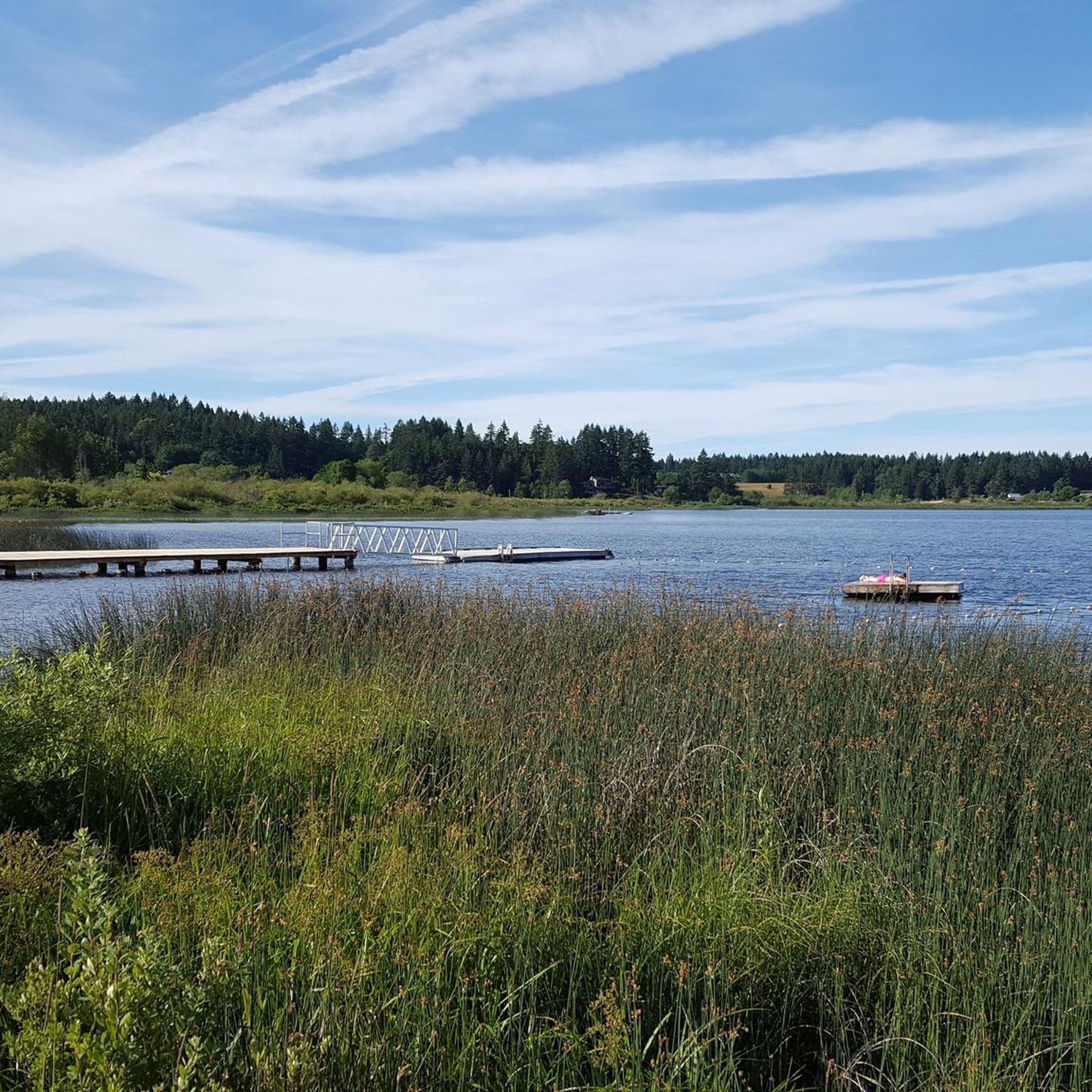
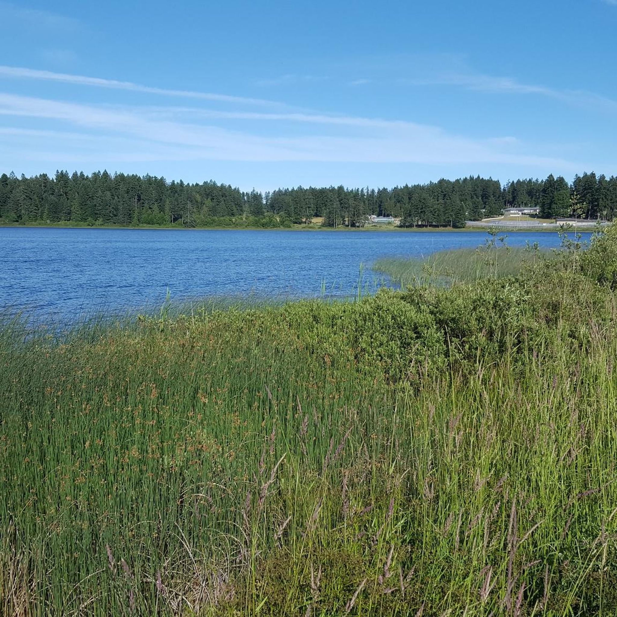
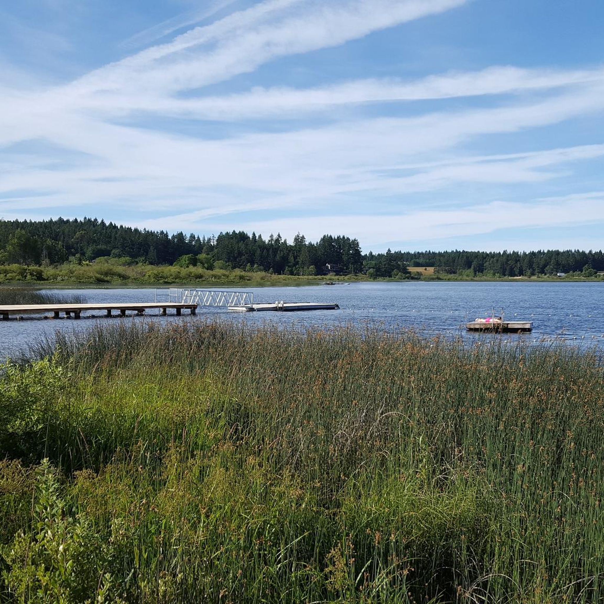
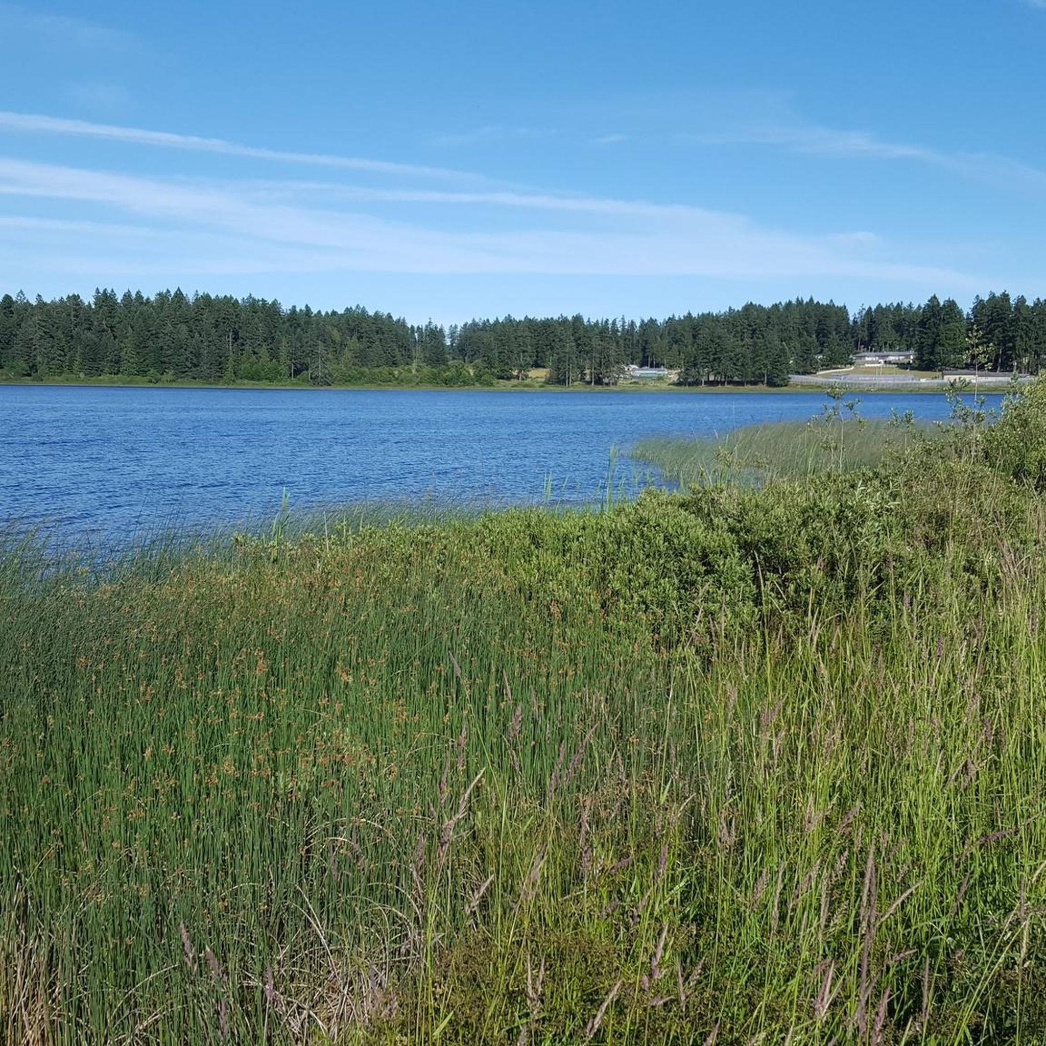
Tips from the Community


This community park has hiking trails, picnic areas, and open fields. There is ample parking, so you shouldn't have any trouble getting out on the trails or set up for a picnic.
0
0
Located in the heart of the city, Bowen Park is a beautiful family-friendly destination with a lot on offer. You can hike the many trails, visit the Rhododendron grove, swim in the pool (summer only), play disc golf or lawn bowls, plus much, much more. With so much to offer it's no wonder this is a popular place for locals and visitors alike!
0
0

The Trans Canada Trail stretches all the way from the arctic circle to Vancouver, and from the Pacific to Nova Scotia and beyond. It covers over 28,000 kilometres in total. This section is an easy packed dirt singletrack that is shared by hikers and mountain bikers.
0
0
Depending on when you arrive, the falls could be a tranquil shower into the basin below, or they could be cascading from the reservoir in a powerful torrent. Either way, it's a beautiful spot to incorporate into your hike.
0
0
This is a dense park full of flowy mountain biking trails that snake their way through the rainforest over wood features and along the reservoir. Not all the trails are online as of 2026, but the access road and easier perimeter trails are mapped, so if you download the komoot route before you go, you will always be able to navigate back via those trails.
0
0

Roberts Memorial Provincial Park is made up of scenic shorelines and coastal forests, a beautiful and relaxed slice of Vancouver Island’s natural wonder. It is a great escape from busier tourist destinations with equal beauty. The park got its name from May Vaughan Roberts donating the land in memory of her husband and daughter.
0
0
Frequently Asked Questions
How many road cycling routes are available in Area C (Arrowsmith-Benson)?
There are over 35 road cycling routes available in Area C (Arrowsmith-Benson), offering a variety of experiences for different skill levels. These include 6 easy routes, 28 moderate routes, and 1 difficult route.
What kind of terrain and elevation can I expect on road cycling routes in Area C (Arrowsmith-Benson)?
Road cycling in Area C (Arrowsmith-Benson) features diverse landscapes, from coastal stretches to forested mountains. You'll encounter varied elevation, providing opportunities for both leisurely rides and more demanding climbs on mostly paved surfaces. For example, the Rocky Coastal Viewpoint loop from Hudson Rocks Ecological Reserve includes over 800 meters of elevation gain, while other routes offer a more gradual experience.
Are there any notable landmarks or attractions along the road cycling routes?
Yes, several routes pass by or offer access to beautiful natural attractions. You might encounter stunning waterfalls like Ammonite Falls or Hole-in-the-Wall. Some routes also lead through or near MacMillan Provincial Park, home to ancient Douglas fir trees, including The Big Tree.
What do other road cyclists enjoy most about cycling in Area C (Arrowsmith-Benson)?
The komoot community highly rates the road cycling experience in Area C (Arrowsmith-Benson), with an average score of 5.0 stars from over 5 reviews. Cyclists often praise the diverse scenery, which ranges from coastal views to lush forests, and the variety of routes that cater to different fitness levels.
Are there any family-friendly road cycling routes in the area?
While specific 'family-friendly' designations aren't always clear for road cycling, routes with less elevation gain and away from heavy traffic would be suitable. The region offers a range of difficulties, including 6 easy routes, which could be a good starting point for families. Nanaimo also has dedicated cycle lanes and multi-use paths like the E&N Trail and Parkway Trail that are generally safer for families.
What is the best time of year for road cycling in Area C (Arrowsmith-Benson)?
The region experiences a mild climate, making road cycling enjoyable for much of the year. Spring and fall offer pleasant temperatures and beautiful scenery. Summer is also popular, though some routes might be warmer. Always check local weather conditions before heading out.
Are there challenging road cycling routes for experienced riders?
Yes, Area C (Arrowsmith-Benson) offers routes with significant climbs for experienced cyclists. The Rocky Coastal Viewpoint loop from Hudson Rocks Ecological Reserve, for instance, features over 800 meters of elevation gain over 65 km. The region's varied topography ensures there are demanding options for those seeking a challenge.
Are there loop routes available for road cyclists?
Yes, many road cycling routes in Area C (Arrowsmith-Benson) are designed as loops, allowing you to start and end at the same point. Examples include the T – Lower Lake, Colliery Dam Park loop from Townsite and the Long Lake – Hammond Bay loop from Cameron Heights, which offer diverse scenery and return to your starting location.
Can I bring my dog on road cycling routes in Area C (Arrowsmith-Benson)?
Road cycling routes are generally not suitable for dogs due to safety concerns with traffic and the pace of cycling. While some multi-use paths might allow leashed dogs, it's best to consider specific walking or hiking trails if you wish to bring your canine companion.
Is public transport available with bikes in Area C (Arrowsmith-Benson)?
Public transport options for bikes can vary. BC Transit buses in the Nanaimo region typically have bike racks on the front, allowing cyclists to transport their bikes. It's always recommended to check the specific route and bus operator's policies for bike accommodation before planning your trip.
Are there any permits required for road cycling in Area C (Arrowsmith-Benson)?
Generally, no specific permits are required for road cycling on public roads and designated cycling paths in Area C (Arrowsmith-Benson). However, if you plan to venture into specific provincial parks or protected areas, it's always wise to check their individual regulations for any access fees or restrictions.
Where can I find parking for road cycling routes in the area?
Many road cycling routes start from areas with public parking, such as parks, community centers, or designated trailheads. For example, routes like the Parkway Trail – Colliery Dam Park loop from Nanaimo Airport often have accessible parking nearby. It's advisable to check the starting point of your chosen route for specific parking information.
Most popular routes around Area C (Arrowsmith-Benson)
Most popular attractions around Area C (Arrowsmith-Benson)

Get inspired with the komoot mobile app


Explore more
Browse the best Road cycling routes in other regions.
