The best road cycling routes around Four Square Mile
4.3
(114)
5,834
riders
112
rides
Road cycling routes around Four Square Mile primarily traverse a landscape characterized by urban parks, multi-use trails, and significant water bodies such as Cherry Creek Reservoir and South Platte Reservoir. The terrain is generally gentle, with modest elevation gains across routes of varying lengths. This area offers a network of paved paths suitable for road cycling, often following natural corridors or connecting different community areas.
Best road cycling routes around Four Square Mile
- The most popular road cycling route is…
Last updated: October 11, 2026
3.5
(2)
34
riders
57.8km
02:59
340m
340m
Moderate road ride. Good fitness required. Mostly well-paved surfaces and easy to ride.
180
riders
27.5km
01:22
80m
80m
Easy road ride. Great for any fitness level. Mostly well-paved surfaces and easy to ride.

5.0
(1)
113
riders
36.4km
01:50
190m
190m
Easy road ride. Great for any fitness level. Mostly well-paved surfaces and easy to ride.
3.0
(1)
96
riders
25.3km
01:21
130m
130m
Easy road ride. Great for any fitness level. Mostly well-paved surfaces and easy to ride.
95
riders
Easy road ride. Great for any fitness level. Mostly well-paved surfaces and easy to ride.
Get access to more routes and recommendations from other explorers.
Already have an account?
Our route recommendations are based on thousands of hikes, rides, and runs completed by other people on komoot.
Start today with a free account
Your next adventure awaits.

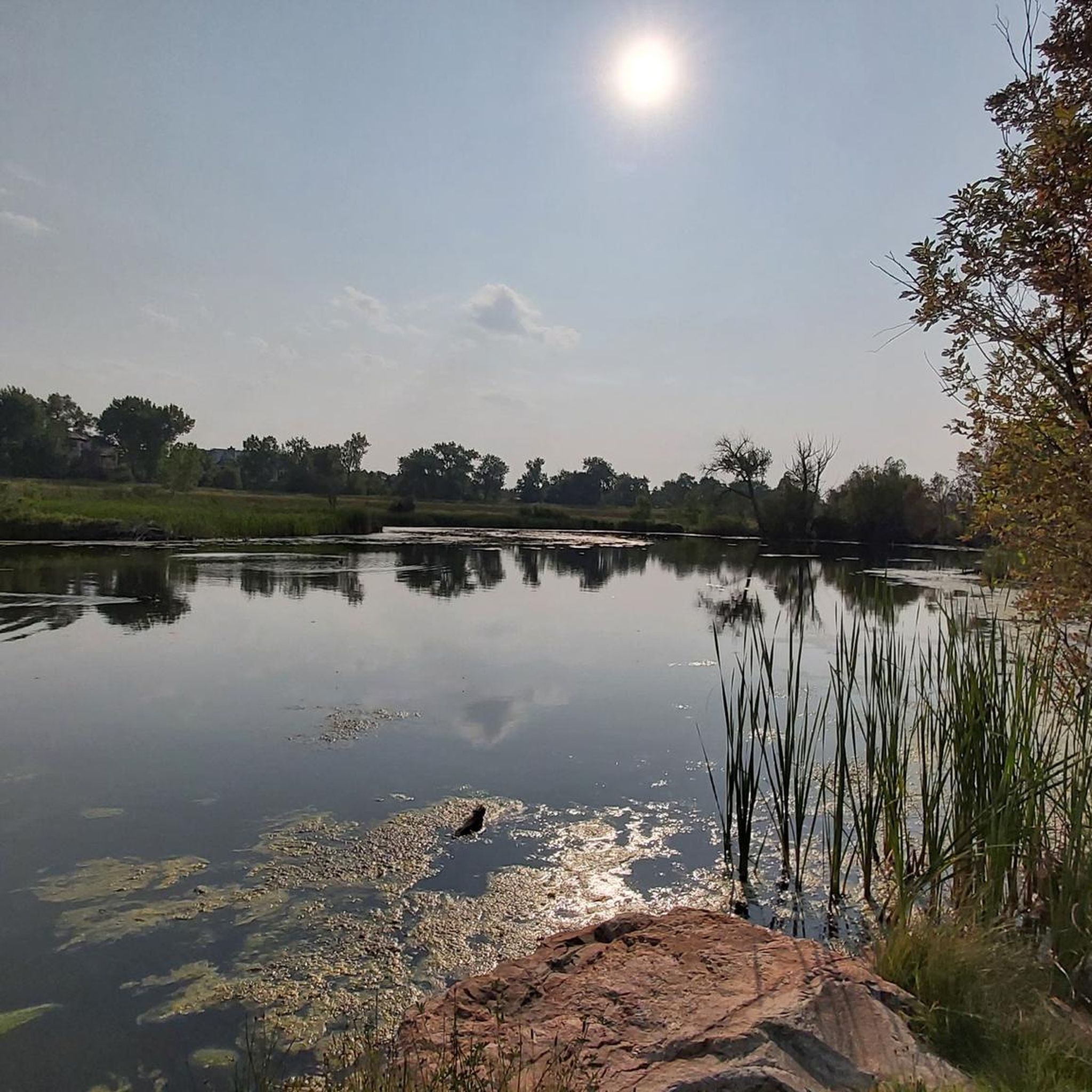


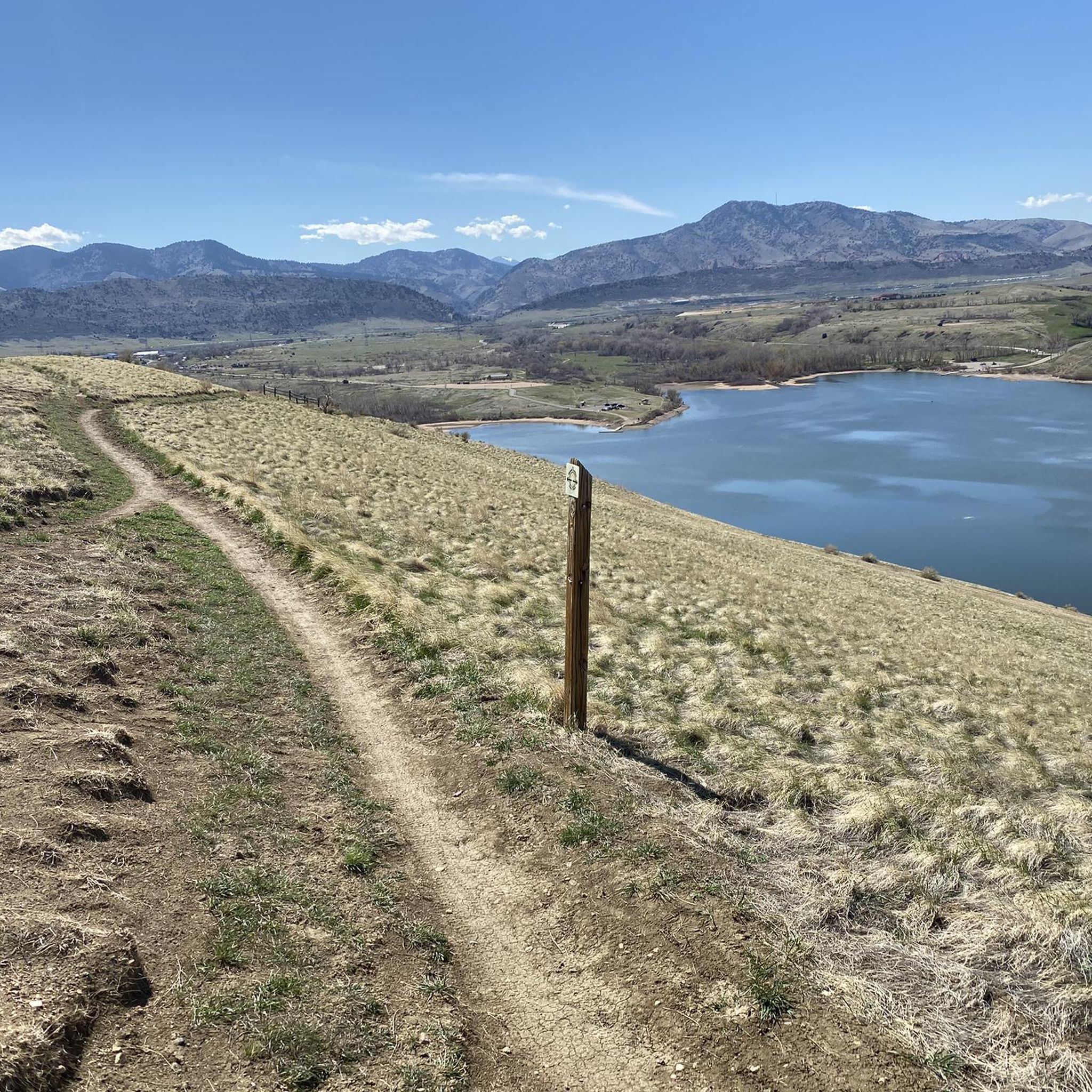
Tips from the Community

Nice ride, non biting nats on the south side of the late but only occasionally
0
0

Shop Creek Trail is a multi-use paved path located within Cherry Creek State Park in Denver, Colorado. Spanning approximately 1 mile, the trail follows Shop Creek and offers an easy route through diverse landscapes, including wetlands, grasslands, and wooded areas in the large, popular park. The trail is accessible year-round and is a nice, easy trail to connect with others as you explore Cherry Creek Park.
0
0

Four Mile Historic Park is a living museum on 12 acres of land. It is the site of Denver's oldest house. You can catch a glimpse of the house from Cherry Creek Trail, or take a short detour to get a full look.
0
0

Nice path along Cherry Creek. Please note that there are pedestrians on one side and cyclists and skaters on the other!
0
0

The Smoky Hill Picnic Site is located on the eastern side of Cherry Creek Reservoir. It has a parking area and provides public toilets and sheltered eating areas with loads of room to run around. Slightly north of here is a lake beach with a designated swimming area. Make sure to only swim at the northern end of the beach as swimming is prohibited at the southern side.
0
0

Cherry Creek State Park is big enough that it features a number of trailheads. This northern entrance is an easy way to access the park from Englewood and Glendale.
0
0

Four Mile Historic Park is a living history museum centered around the last stop on the stage coach route into Denver. You can take tours around the oldest house in the city, which you can also see from the road.
0
0
Cherry Creek State Park is big enough that it features a number of trailheads. This northern entrance is an easy way to access the park from Englewood and Glendale.
2
0
Frequently Asked Questions
How many road cycling routes are available in Four Square Mile?
Four Square Mile offers a diverse selection of over 120 road cycling routes. These routes cater to various skill levels, with 56 easy, 65 moderate, and 7 difficult options available.
What kind of terrain can I expect on road cycling routes in Four Square Mile?
The terrain in Four Square Mile is generally gentle, featuring modest elevation gains. Routes primarily traverse urban parks, multi-use paved trails, and paths alongside significant water bodies like Cherry Creek Reservoir and South Platte Reservoir.
Are there any easy or beginner-friendly road cycling routes in Four Square Mile?
Yes, Four Square Mile has 56 easy road cycling routes perfect for beginners. A great option is the View of Cherry Creek Reservoir – Cottonwood Creek Wetlands loop from Dayton, which is 12.6 miles (20.3 km) long and features gentle inclines.
Can I find long-distance road cycling routes in the Four Square Mile area?
Absolutely. For those seeking a longer ride, the View of Cherry Creek Reservoir – South Platte Reservoir loop from Southmoor is a moderate 59.4 miles (95.6 km) route offering expansive views and a substantial distance.
What are some of the most scenic road cycling routes with viewpoints in Four Square Mile?
Many routes offer scenic views, particularly those around the reservoirs. The View of Cherry Creek Reservoir – South Platte Reservoir loop from Southmoor provides extensive vistas of both reservoirs and the surrounding landscape.
Are there circular road cycling routes available in Four Square Mile?
Yes, many of the road cycling routes in Four Square Mile are circular, allowing you to start and end at the same point. Examples include the popular Cherry Creek and C-470 Trail Loop and the View of Cherry Creek Reservoir – Cherry Creek Park loop from Dayton.
What do other road cyclists enjoy most about cycling in Four Square Mile?
The area is highly rated by the komoot community, with an average score of 4.4 stars from over 80 reviews. Cyclists often praise the well-maintained multi-use trails, the scenic views of the reservoirs, and the accessibility of routes connecting urban and natural areas.
What attractions or landmarks can I see along the road cycling routes?
Many routes pass by or near natural and urban attractions. You might cycle past the Marjorie Perry Nature Preserve or Bluff Lake Park. Some routes also offer glimpses of the Colorado State Capitol or the Convention Center in the distance.
Are there family-friendly road cycling options in Four Square Mile?
Given the prevalence of multi-use trails and generally gentle terrain, many routes are suitable for families. The 56 easy routes are particularly good choices, such as the Cherry Creek Trail North – Four Mile Historic Park loop from Dayton, which is 15.7 miles (25.3 km) and offers a pleasant ride.
What is the best season for road cycling in Four Square Mile?
While specific conditions can vary, the mild spring and autumn months typically offer the most comfortable temperatures for road cycling in Four Square Mile. Summer can be enjoyable, but it's advisable to ride earlier in the morning or later in the afternoon to avoid the peak heat.
Are there advanced road cycling trails for experienced riders in Four Square Mile?
Yes, for more experienced riders, there are 7 difficult road cycling routes available. These routes often feature longer distances and more sustained climbs, providing a greater challenge than the moderate or easy options.
Most popular attractions around Four Square Mile

Get inspired with the komoot mobile app


Explore more
Browse the best Road cycling routes in other regions.
