The best cycling routes around Four Square Mile
4.6
(224)
3,453
riders
117
rides
Touring cycling routes around Four Square Mile are primarily characterized by a network of established trails along waterways and through green spaces. The terrain is generally flat to gently rolling, making it suitable for various touring cycling experiences. The area features the Cherry Creek Greenway and Highline Canal Trail, offering accessible paths for cyclists. Its location within the Denver metropolitan area provides access to extensive cycling networks and natural landscapes.
Best touring cycling routes around Four Square Mile
- The most…
Last updated: October 2, 2026
3.3
(3)
25
riders
26.3km
01:53
150m
150m
Moderate bike ride. Good fitness required. Mostly paved surfaces. Suitable for all skill levels.
4.0
(4)
109
riders
38.8km
02:52
160m
160m
Moderate bike ride. Good fitness required. Mostly paved surfaces. Suitable for all skill levels.

5.0
(2)
62
riders
25.9km
01:33
150m
150m
Easy bike ride. Great for any fitness level. Mostly paved surfaces. Suitable for all skill levels.
61
riders
49.2km
03:54
160m
160m
Moderate bike ride. Good fitness required. Mostly paved surfaces. Suitable for all skill levels.
4.3
(4)
50
riders
Moderate bike ride. Good fitness required. Mostly paved surfaces. Suitable for all skill levels.
Get access to more routes and recommendations from other explorers.
Already have an account?
Our route recommendations are based on thousands of hikes, rides, and runs completed by other people on komoot.
Start today with a free account
Your next adventure awaits.



Tips from the Community

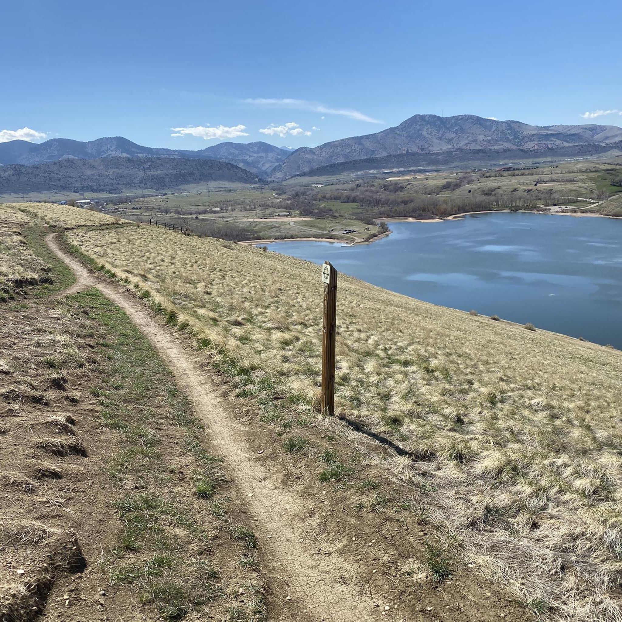
This is a strategic point along the High Line Canal Trail with a view over Sumac Hill Farm. You can see the Big Dry Creek basin, the surrounding vegetation, and some of the birdlife that lives here.
0
0

A fun little bike park that features two lines. One with smaller jumps and one with bigger hits.
0
0

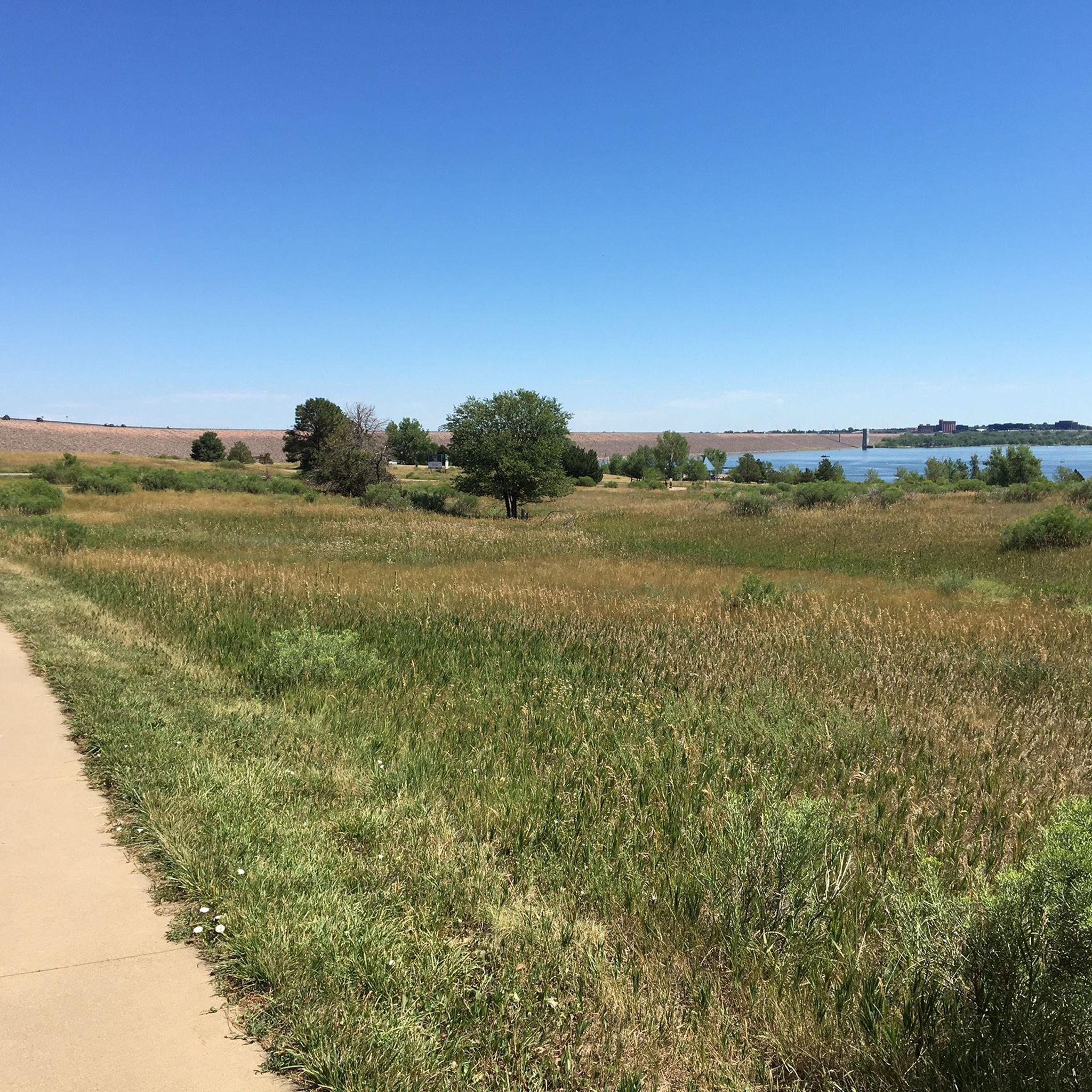
Cottonwood Creek runs out of Cherry Creek Reservoir and continues south. You cross the creek on several occasions on bridges while following the bike path.
0
0

Nice ride, non biting nats on the south side of the late but only occasionally
0
0

Love this ride it’s next to my barbershop In Lodo @ Fadez on Blake st
0
0

Explore the beauty of the Marjorie Perry Nature Preserve, with soft-surface trails winding through diverse habitats like grasslands, wetlands, and wooded areas. The preserve has views of the Rocky Mountains and opportunities for birdwatching and other wildlife viewing. To protect the ecosystem, visitors must stay on designated trails.
2
0

This 59-acre preserve located along the High Line Canal is a great place for bird and wildlife watching and a scenic setting to run in.
0
0

Empower Field at Mile High, often called Mile High Stadium, is Denver’s iconic sports venue and home to the NFL’s Denver Broncos. Located near downtown, the stadium sits 5,280 feet above sea level, giving it its name. Opened in 2001, it replaced the original Mile High Stadium and can accommodate over 76,000 fans. The stadium hosts football games, concerts, and other large-scale events and features panoramic views of Denver and the Rocky Mountains. Outside, the "Bucky the Bronco" statue symbolizes the team and its history.
1
0
Frequently Asked Questions
How many touring cycling routes are available in Four Square Mile?
There are over 130 touring cycling routes in the Four Square Mile area, offering a wide range of options for different skill levels and preferences. These routes are highly rated by the komoot community, with an average score of 4.6 stars from over 170 reviews.
What is the general terrain like for touring cycling in Four Square Mile?
The terrain in Four Square Mile is generally flat to gently rolling, making it suitable for various touring cycling experiences. Routes primarily follow established trails along waterways like Cherry Creek and the Highline Canal, passing through green spaces and a mix of urban and natural environments within Arapahoe County, Colorado.
Are there touring cycling routes suitable for beginners in Four Square Mile?
Yes, Four Square Mile offers many routes suitable for beginners. With 74 easy routes, cyclists new to touring can enjoy leisurely rides. An excellent option is the Cottonwood Creek Wetlands – View of Cherry Creek Reservoir loop from Cherry Creek High School, which is 11.2 miles (18.0 km) and leads through wetlands with reservoir views.
Are there more challenging touring cycling routes for advanced riders?
While the primary focus of Four Square Mile (Arapahoe County) is on established trails, there are 8 routes classified as difficult. For those seeking a more challenging experience, the broader region of Colorado, such as Four Mile Canyon near Boulder, offers quiet climbing routes with a mix of paved and dirt roads, suitable for gravel bikes and more advanced touring.
Are there any family-friendly touring cycling routes in Four Square Mile?
Many of the easy and moderate routes along the Cherry Creek and Highline Canal are suitable for families. The generally flat terrain and established paths provide a safe and enjoyable environment for cyclists of all ages. The Cherry Creek Reservoir Loop is a popular moderate option that families can enjoy.
What kind of views and landmarks can I expect along the touring cycling routes?
Along the routes, you can expect scenic views of waterways, green spaces, and urban landmarks. Notable attractions include the Marjorie Perry Nature Preserve and Bluff Lake Park. Some routes, like the Colorado State Capitol – Cherry Creek Trail loop from Dayton, even connect to significant urban landmarks such as the Colorado State Capitol.
Are there any circular touring cycling routes in Four Square Mile?
Yes, many of the touring cycling routes in Four Square Mile are designed as loops, allowing you to start and end at the same point. Examples include the popular Cherry Creek Reservoir Loop and the View of Cherry Creek Reservoir – Cherry Creek Park loop from Dayton.
What is the best time of year for touring cycling in Four Square Mile?
The best time for touring cycling in Four Square Mile is generally during the spring, summer, and fall months when the weather is mild and pleasant. While winter cycling is possible, conditions can vary, and some paths might be affected by snow or ice.
Are there places to park near the touring cycling trails?
Given the area's focus on recreational amenities and parks, there are typically parking facilities available near trailheads and access points for the Cherry Creek and Highline Canal trails. Specific parking details can often be found on individual route pages or local park websites.
What do other touring cyclists enjoy most about the routes in Four Square Mile?
The komoot community highly rates the touring cycling experience in Four Square Mile, with an average score of 4.6 stars. Cyclists frequently praise the accessibility of the established trails, the pleasant green spaces, and the scenic routes along waterways like Cherry Creek, which offer a refreshing escape within the urbanizing environment.
Can I find long-distance touring cycling routes in this area?
While many routes are moderate in length, there are options for longer rides. For instance, the Colorado State Capitol – Cherry Creek Trail loop from Dayton covers 27.4 miles (44.2 km). The interconnected network of trails along the Cherry Creek and Highline Canal also allows for combining routes to create extended touring experiences.
Are there any cafes or places to stop for refreshments along the routes?
As the Four Square Mile area is an urbanizing region within Arapahoe County, you will find various amenities, including cafes and refreshment stops, particularly near the more developed sections of the trails and in adjacent neighborhoods. Planning your route in advance can help identify convenient stopping points.
Most popular routes around Four Square Mile
Most popular attractions around Four Square Mile

Get inspired with the komoot mobile app


Explore more
Browse the best Cycling routes in other regions.
