The best running trails around Four Square Mile
4.5
(22)
4,658
runners
202
runs
Jogging around Four Square Mile offers access to a blend of residential areas and inviting green spaces. The region is characterized by numerous green spaces, residential trails, and dedicated pathways like the Cherry Creek Greenway. These features provide a serene and accessible environment for outdoor activities. The terrain generally features gentle elevation changes, making it suitable for various running preferences.
Best jogging routes around Four Square Mile
- The most popular jogging route is Blackmer Lake Trail loop from Temple Sinai…
Last updated: July 1, 2026
5.0
(1)
63
runners
9.17km
00:59
60m
60m
Moderate run. Good fitness required. Mostly paved surfaces. Suitable for all skill levels.
57
runners
Moderate run. Good fitness required. Mostly paved surfaces. Suitable for all skill levels.

Sign up for free
58
runners
34.7km
03:44
160m
160m
Hard run. Very good fitness required. Mostly paved surfaces. Suitable for all skill levels.
15
runners
7.10km
00:44
20m
20m
Moderate run. Good fitness required. Mostly paved surfaces. Suitable for all skill levels.
24
runners
Hard run. Very good fitness required. Mostly paved surfaces. Suitable for all skill levels.
Get access to more routes and recommendations from other explorers.
Sign up for free
Already have an account?
Our route recommendations are based on thousands of hikes, rides, and runs completed by other people on komoot.
Start today with a free account
Your next adventure awaits.
Login or Signup

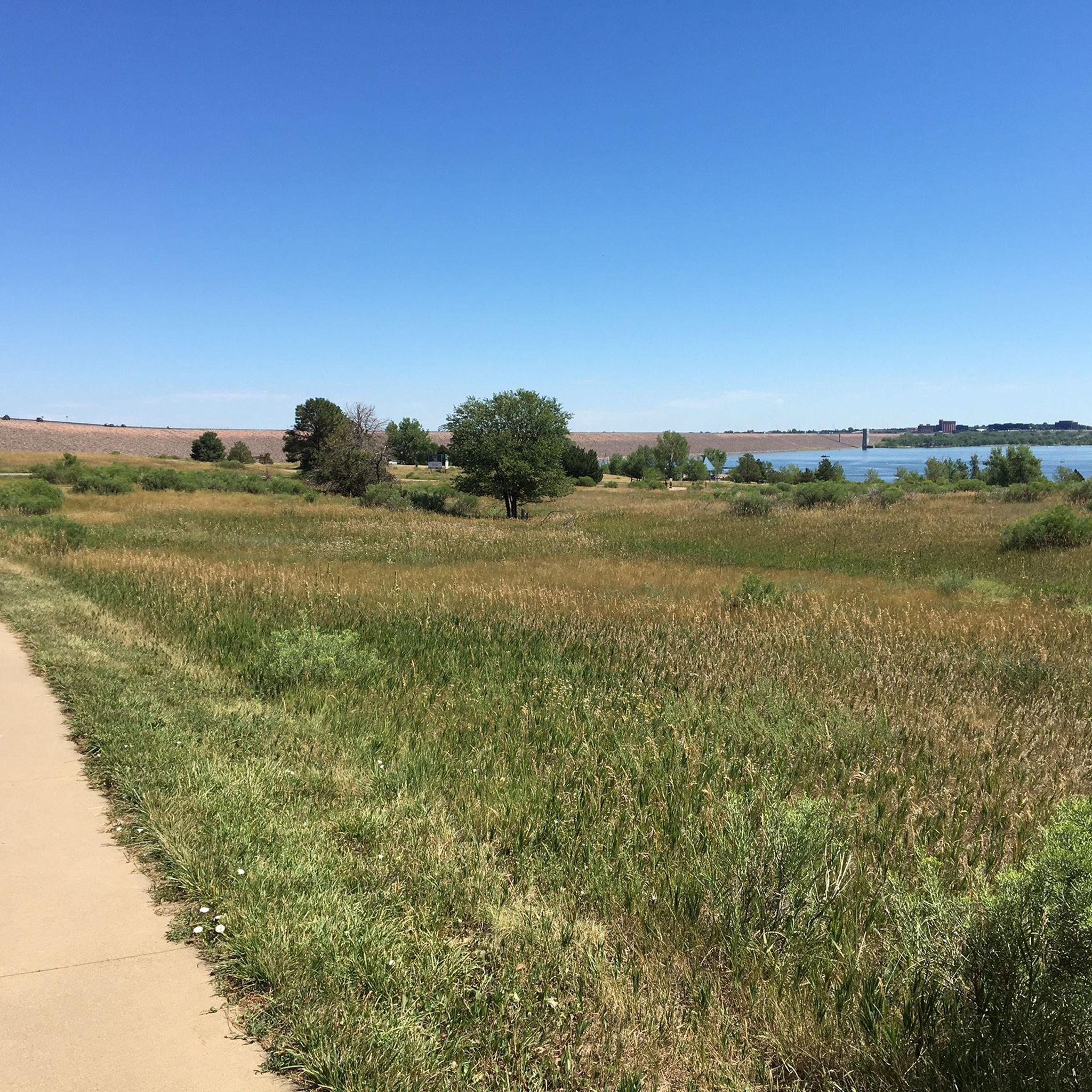
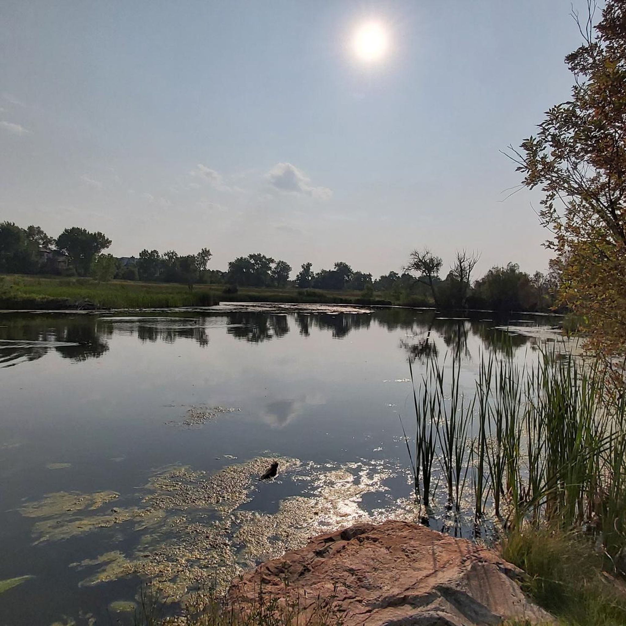
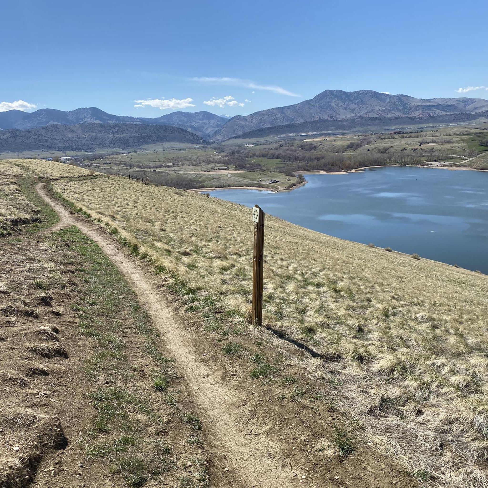

Tips from the Community

This is a strategic point along the High Line Canal Trail with a view over Sumac Hill Farm. You can see the Big Dry Creek basin, the surrounding vegetation, and some of the birdlife that lives here.
0
0

This is a large parking lot that is usually only for the high school, but is available for you to park on Thursdays 4-6pm and Sunday 12-2pm, making it a nice spot to leave your car as you ride around the area.
0
0
Washington Park, in Denver, Colorado, is a 155-acre urban park that features two lakes, Smith Lake and Grasmere Lake, and a 2.6-mile jogging and biking loop as well as connecting trails to other major bike paths in the area. There are also open green spaces, and well-maintained flower gardens, including a replica of George Washington’s Mount Vernon garden. Additional facilities include tennis courts, playgrounds, and picnic areas, and the historic boathouse by Smith Lake that serves as a popular venue for events.
0
0
Washington Park, in Denver, Colorado, is a 155-acre urban park that features two lakes, Smith Lake and Grasmere Lake, and a 2.6-mile jogging and biking loop as well as connecting trails to other major bike paths in the area. There are also open green spaces, and well-maintained flower gardens, including a replica of George Washington’s Mount Vernon garden. Additional facilities include tennis courts, playgrounds, and picnic areas, and the historic boathouse by Smith Lake that serves as a popular venue for events.
1
0
There are small wooden posts, like this one, along the High Line Canal Trail so you can track your milage. This spot mark the one mile point from the Goodson Center, the main access point and trailhead for the High Line Trail.
0
0
The Goodson Center is a large recreation center with a large park behind it that serves as the main access point and trailhead for the High Line Canal Trail. There is ample parking and restrooms.
0
0
The High Line Canal Trail is a scenic and accessible hard-packed gravel path for walking, jogging, and biking. This section of the 71-mile trail (around mile 30) runs by Greenwood Village, part of the Denver metro area, and features tree-lined stretches through neighborhoods and parks, and views of the Rocky Mountains and the High Line Canal. The well-maintained trail is popular year-round for recreation.
0
0

From here, you can catch some nice views of the mountain "skyline" in the distance. There's also lots of pedaling both ahead and behind you: The High Line Canal Trail is more than 70 miles long.
0
0
Frequently Asked Questions
How many running routes are available in Four Square Mile?
Four Square Mile offers a wide variety of running routes, with over 170 different trails to explore. These routes cater to all levels, from easy strolls to more challenging runs.
Are there easy jogging routes suitable for beginners in Four Square Mile?
Yes, Four Square Mile has plenty of easy jogging routes perfect for beginners or those looking for a relaxed run. There are over 40 routes classified as easy, providing gentle terrain and accessible paths through green spaces.
What kind of terrain can I expect on the running trails in Four Square Mile?
The terrain in Four Square Mile generally features gentle elevation changes, making it suitable for various running preferences. You'll find a blend of residential trails, dedicated pathways like the Cherry Creek Greenway, and numerous green spaces, offering a serene and accessible environment.
Are there any challenging long-distance running trails in the area?
For those seeking a more challenging experience, Four Square Mile offers several longer and more difficult routes. One such option is the Cherry Creek Trail – Four Mile Historic Park loop from High Line Canal Trail, which spans over 15 miles (24 km) and features moderate elevation changes.
Can I find circular running routes in Four Square Mile?
Yes, many of the running routes in Four Square Mile are circular, allowing you to start and finish at the same point. For example, the Blackmer Lake Trail loop from Temple Sinai is a popular circular route offering scenic views.
What are some scenic viewpoints or attractions along the running routes?
Runners in Four Square Mile can enjoy several scenic spots and attractions. The Cherry Creek Greenway offers picturesque views along its path. You might also encounter highlights like the Marjorie Perry Nature Preserve or Bluff Lake Park. Just outside the neighborhood, the unique Babi Yar Memorial Park also provides a contemplative setting for walks or jogs.
Are the running routes in Four Square Mile suitable for families?
Many of the green spaces and residential trails in Four Square Mile are ideal for family-friendly runs or walks. The gentle terrain and accessible paths make it easy for all ages to enjoy the outdoors. Cheyenne-Arapaho Park, with its picnic shelters and open spaces, is a great spot for families to relax after a jog.
What do other runners say about the trails in Four Square Mile?
The running routes in Four Square Mile are highly rated by the komoot community, with an average score of 4.5 stars from over 10 reviews. More than 3,700 runners have used komoot to explore the varied terrain, often praising the serene environment and well-maintained green spaces.
Are there any specific routes that pass by notable landmarks?
Yes, some routes offer glimpses of local landmarks. The Cherry Creek Trail – Four Mile Historic Park loop from Quebec St & E Jewell Ave, for instance, leads through the Cherry Creek Trail and past Four Mile Historic Park, offering a mix of nature and historical interest.
Is Four Square Mile a good place for winter running?
While specific winter conditions vary, the neighborhood's well-maintained green spaces and dedicated pathways like the Cherry Creek Greenway often remain accessible. It's advisable to check local conditions and trail reports during winter months, but the generally gentle terrain can be suitable for cold-weather running.
Are there options for public transport access to the running trails?
Four Square Mile is known for its accessibility. While specific public transport stops for each trail vary, the blend of residential areas and green spaces means many routes are within reach of local public transport options. It's recommended to check local bus routes or light rail connections to specific starting points.
Where can I find parking for the running routes?
Given its blend of residential charm and green spaces, parking is generally available near many trailheads and parks within Four Square Mile. Specific parking details can often be found on individual route pages or by checking local park information for areas like Cheyenne-Arapaho Park.
Most popular attractions around Four Square Mile

Get inspired with the komoot mobile app


Explore more
Browse the best Running Trails & Routes in other regions.
