The best running trails around Crummock Water
4.3
(71)
8,899
runners
202
runs
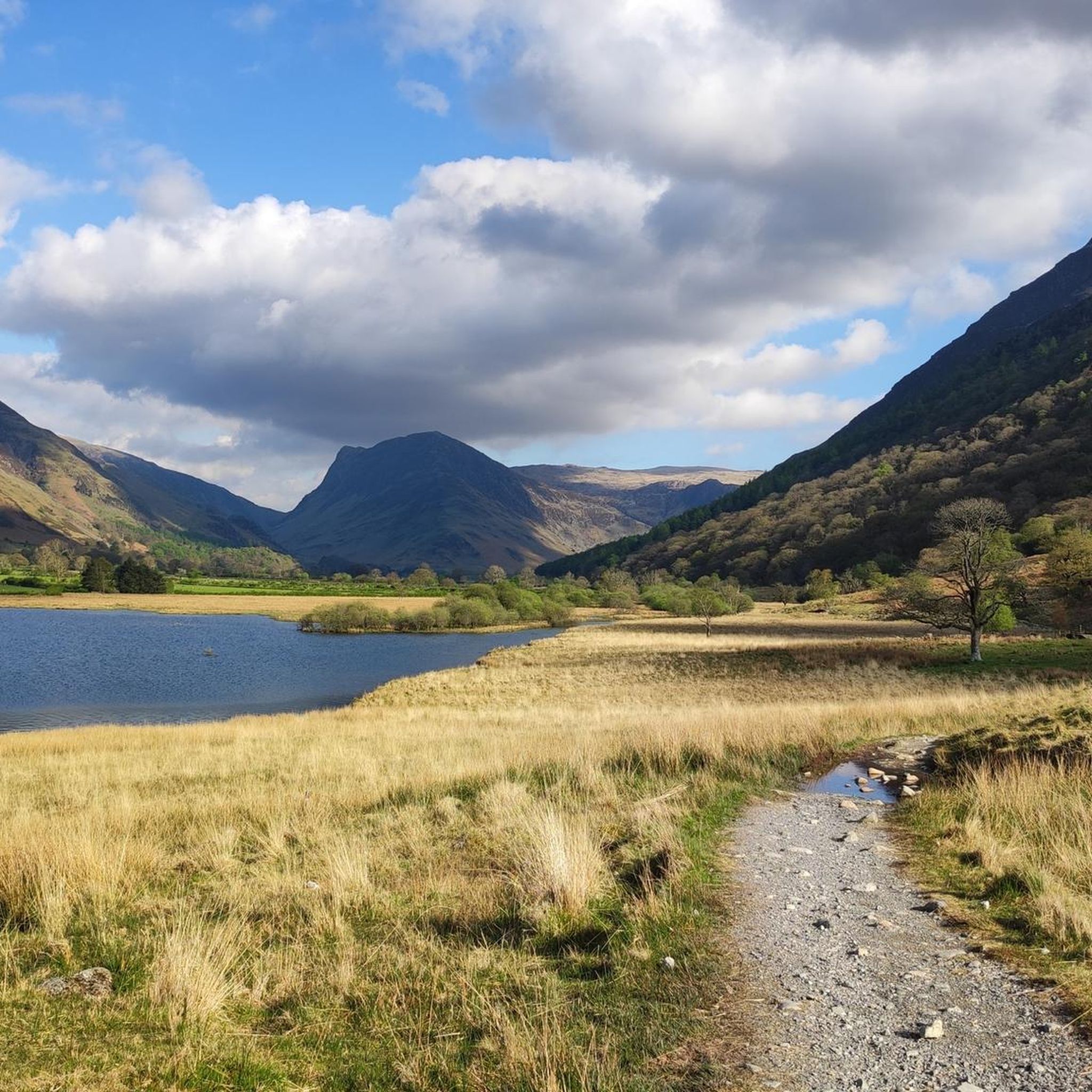
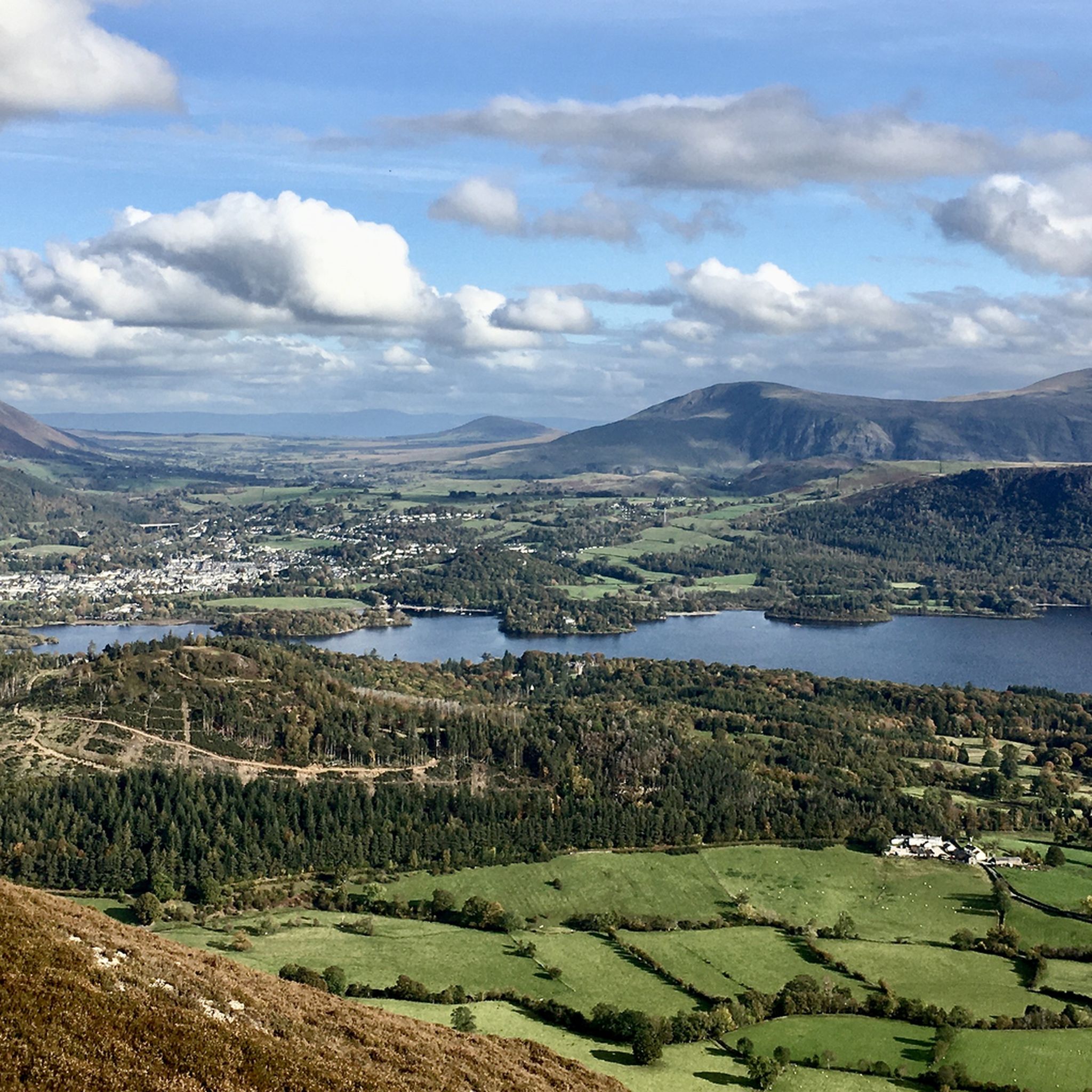
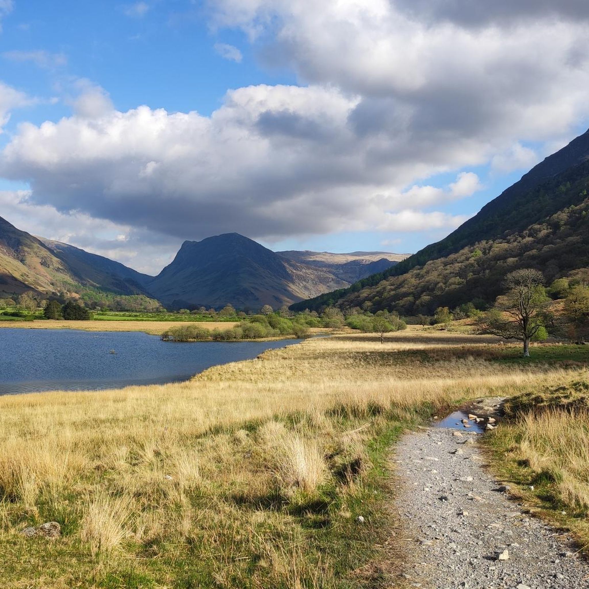
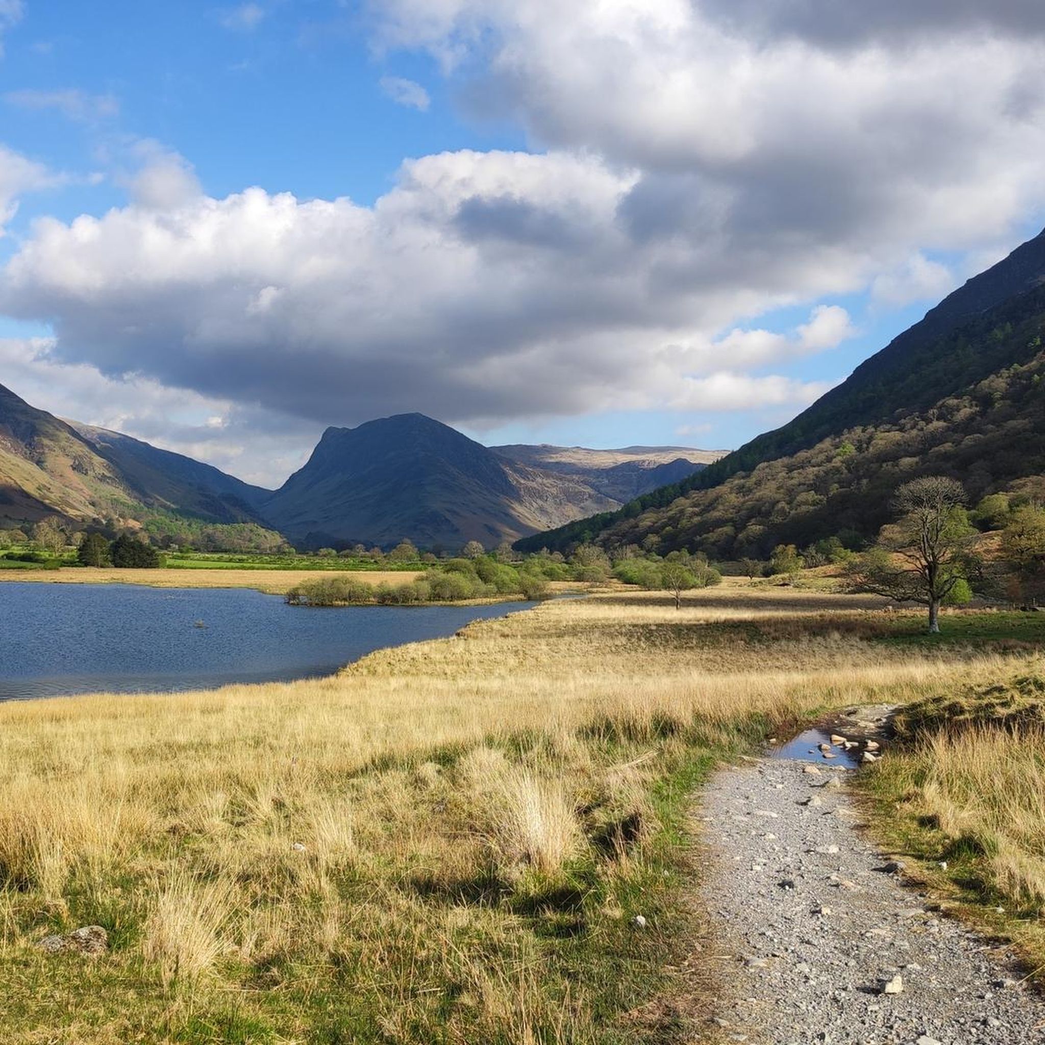
Jogging around Crummock Water offers routes through a landscape characterized by a large lake, surrounding fells, and deep valleys. The terrain includes lakeside paths, challenging ascents to hill summits, and trails through open moorland. This region provides a variety of running experiences, from undulating valley routes to more strenuous climbs.
Best jogging routes around Crummock Water
- The most popular jogging route is Red Pike (Buttermere) – High Stile Summit loop from Crummock Water, a 17.1 miles (27.6 km) trail…
Last updated: July 8, 2026
104
runners
28.0km
05:19
1,890m
1,890m
Hard run. Very good fitness required. Sure-footedness, sturdy shoes and alpine experience required.
35
runners
8.26km
01:27
610m
610m
Hard run. Very good fitness required. Sure-footedness, sturdy shoes and alpine experience required.

Sign up for free
29
runners
9.93km
02:10
750m
750m
Hard run. Very good fitness required. Sure-footedness, sturdy shoes and alpine experience required.
21
runners
8.15km
01:05
260m
260m
Hard run. Good fitness required. Sure-footedness, sturdy shoes and alpine experience required.
13
runners
10.5km
01:46
750m
750m
Hard run. Very good fitness required. Sure-footedness, sturdy shoes and alpine experience required.
Get access to more routes and recommendations from other explorers.
Sign up for free
Already have an account?
Our route recommendations are based on thousands of hikes, rides, and runs completed by other people on komoot.
Start today with a free account
Your next adventure awaits.
Login or Signup

Tips from the Community

A great ridge to climb from Lanthwaite. Rising to Whiteside and then Hopegill Head. A return journey can be made via any of the North western routes to return into the Buttermere/Crummock valley
0
0


Good facilities at the start of a hike, but can be very busy during peak season
0
0
On a clear day, this summit offers 360 views towards Ennerdale and to Buttermere,
0
0
Stunning views overlooking Crummock Water and Buttermere. From here you can descend down the back and have many options to continue your route.
1
0
Delicious food and drink but very busy in peak times.
0
0
Busy in the summer and peak times but dog friendly and delicious food/drinks.
0
0
Super fun challenge, need to be pretty confident on your feet.
0
0
Frequently Asked Questions
How many running routes are available around Crummock Water?
There are over 200 running routes in the Crummock Water area, offering a wide range of experiences from lakeside paths to challenging fell ascents. The komoot community has explored these trails over 9,000 times.
Are there easy jogging routes suitable for beginners around Crummock Water?
While many routes in the area are challenging, there are a few easier options. These typically follow lakeside paths or lower valley trails, providing a less strenuous experience for beginners. Look for routes with minimal elevation gain.
What is the best time of year to go jogging around Crummock Water?
The best time to jog around Crummock Water is generally from late spring to early autumn (May to October). During these months, the weather is milder, days are longer, and paths are typically drier. However, the fells can be enjoyed year-round with appropriate gear and caution.
Are there any circular running routes in the Crummock Water area?
Yes, several circular routes are available. A popular option that combines Crummock Water with its neighboring lake is the Crummock Water – Buttermere Village loop from Crummock Water, which offers scenic views and a varied terrain.
Can I bring my dog on the jogging trails around Crummock Water?
Many trails around Crummock Water are dog-friendly, but it's essential to keep dogs on a lead, especially near livestock or during ground-nesting bird seasons. Always follow the Countryside Code and be mindful of other users and wildlife.
What are the parking options for accessing jogging routes near Crummock Water?
Parking is available at various points around Crummock Water, including designated car parks near Buttermere village and along the B5289 road. Some routes, like the Hopegill Head loop from Grasmoor, might have parking available closer to their starting points. Always check local signage for fees and restrictions.
Are there any public transport options to reach the jogging trails?
Public transport to Crummock Water is limited but available. The Honister Rambler bus service (seasonal) connects Keswick with Buttermere, passing by Crummock Water. This can be a good option for accessing trails without a car, though schedules should be checked in advance.
What kind of views can I expect on the running routes?
The running routes around Crummock Water offer diverse and spectacular views. You can expect panoramic vistas of the lake itself, surrounding fells like Grasmoor and Mellbreak, and deep, verdant valleys. Routes like the Whiteless Pike – Rannerdale Bluebells loop from Crummock Water provide stunning seasonal wildflower displays alongside mountain scenery.
Are there any cafes or refreshment stops near the jogging routes?
While Crummock Water itself is quite wild, the nearby village of Buttermere offers cafes and pubs where you can find refreshments after your run. It's advisable to carry your own water and snacks, especially on longer or more remote routes.
What do other runners enjoy most about jogging in Crummock Water?
The area is highly rated by the komoot community, with an average score of 4.4 stars. Reviewers often praise the stunning natural beauty, the variety of terrain from lakeside paths to challenging fells, and the sense of tranquility found on the trails. The opportunity to combine a run with breathtaking views is frequently highlighted.
How challenging are the running routes around Crummock Water?
The routes vary significantly in difficulty. While there are a few easier options, the majority of the 212 routes are rated as 'difficult' (160 routes) or 'moderate' (50 routes), often involving significant elevation gain and rugged terrain. For example, the Red Pike (Buttermere) – High Stile Summit loop from Crummock Water is a challenging 17.1-mile trail with substantial ascent.
Are there family-friendly jogging routes suitable for children?
For families with children, it's best to stick to the flatter, well-maintained paths closer to the lake shore. Many of the routes involving fell climbs can be too strenuous or technical for younger children. Consider shorter, out-and-back sections along the lakeside rather than full loops over challenging terrain.
Most popular routes around Crummock Water

Get inspired with the komoot mobile app


Explore more
Browse the best Running Trails & Routes in other regions.
