The best walks and hikes around Millers Falls
4.0
(1)
11
hikers
15
hikes
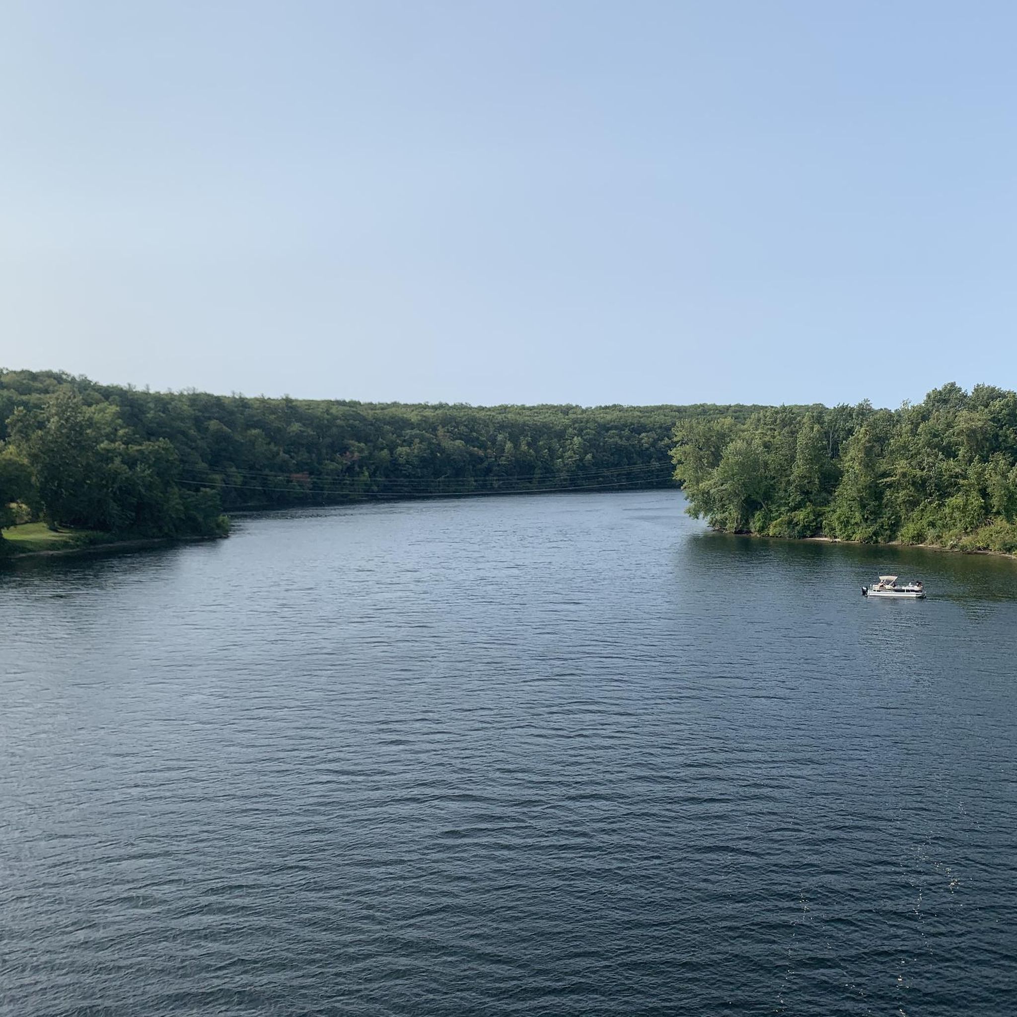
Hiking around Millers Falls Massachusetts explores a landscape shaped by the Millers River and surrounding hills. The region features extensive state forests, including Wendell State Forest and Mount Toby State Forest, which offer networks of trails through mixed woodlands. Terrain includes riverfront paths along the Millers River and sections of long-distance routes. This area provides diverse landscapes and natural features for hikers.
Best hiking trails around Millers Falls
- The most popular hiking route is Metacomet-Monadnock-Trail – Wendell State Forest,…
Last updated: June 29, 2026
1
hikers
3.59km
01:13
180m
140m
Hike the difficult 2.2-mile Farley Ledge Loop, gaining 606 feet with spectacular views of the Millers River Valley.
1
hikers
3.87km
01:05
70m
90m
Hike the Rocky Mountain Poets Seat Trail for an easy 2.4-mile (3.9 km) journey that takes about 1 hour and 5 minutes. You will gain 232 feet (71 metres) in…

Sign up for free
1
hikers
4.34km
01:33
90m
130m
Hike the 2.7-mile Hermit Cave Loop in Northfield Mountain, a difficult route with 308 feet of gain leading to historic Hermit's Castle.
4.43km
01:22
260m
10m
The Tower Road trail offers a delightful journey through classic New England hardwood forests, providing a serene escape into nature. As you follow the path, which often feels like an…
1.31km
00:31
20m
70m
Hike the difficult NET/M&M Trail (white) in Wendell State Forest, a 0.8-mile route with 75 feet of elevation gain.
Get access to more routes and recommendations from other explorers.
Sign up for free
Already have an account?
Our route recommendations are based on thousands of hikes, rides, and runs completed by other people on komoot.
Start today with a free account
Your next adventure awaits.
Login or Signup


Tips from the Community

This three-sided shelter is first-come first-served, but you can let others know intent to stay on the NET site here: https://newenglandtrail.org/overnight-sites/wendell/. There is a firepit and you can find water and seasonally available restrooms just south of here on Ruggles Pond Rd.
0
0

Mount Toby is surrounded by an extensive trail system for hikers. Once you reach the summit at 1,269 feet, you can go even higher and climb the fire tower for a fascinating overview of the Connecticut River.
0
0

The 10 acre Ruggles Pond offers swimming, fishing and a picnic area. The southern end of Ruggles Pond often shows beaver activity. If you are lucky, you can see a beaver hut on the lake.
0
0
Frequently Asked Questions
Are there any waterfall hikes near Millers Falls?
Yes, the region has several trails that feature waterfalls. A popular destination is Wendell State Forest, where the Metacomet-Monadnock Trail leads to the scenic Lynne's Falls, a series of cascades on Lyons Brook. Other notable falls in the wider area include Doane's Falls and Gunn Brook Falls, which are local favorites for their natural beauty.
Can I bring my dog on the hiking trails?
Most state forests and wildlife management areas around Millers Falls, such as Wendell State Forest and the Montague Plains, generally permit dogs on trails, provided they are leashed and you clean up after them. However, it's always best to check the specific regulations for the park you plan to visit before you go.
Are there any easy, family-friendly walks in the area?
For a gentle, level path suitable for all ages, the Canalside Rail Trail in nearby Turners Falls is an excellent choice. This paved 3.3-mile trail follows the Barton Cove shoreline and is perfect for a relaxed walk or bike ride. It was once named the 'Best Urban Bike Path in New England' by Yankee Magazine.
Where can I find a challenging day hike?
For a more strenuous outing, consider the Jerusalem Hill – Wendell State Forest route. This difficult trail involves a significant climb up Jerusalem Hill, rewarding hikers with a sense of accomplishment and woodland scenery within the expansive state forest.
What are some popular places for hiking around Millers Falls?
Several state forests and reservations are highly regarded by local hikers.
Wendell State Forest is a vast area popular for its extensive trail network and Ruggles Pond. For impressive views, many visit Mount Sugarloaf State Reservation, which features an auto road and a summit pavilion. Another favorite is Mount Toby State Forest, known for its challenging climbs and the historic fire tower at its peak.
Where can I find good scenic overlooks?
Mount Sugarloaf State Reservation is a top destination for panoramic views. An auto road leads to the summit, where a pavilion and observation tower offer sweeping vistas of the Connecticut River Valley. For a view earned by a hike, the fire tower at the summit of Mount Grace State Forest also provides amazing, long-distance scenery.
Are there any circular hiking routes?
Yes, the area offers several loop trails. A great example is the Mount Toby loop from Montague. This moderate 5.4-mile (8.7 km) hike takes you on a circuit through the beautiful woodlands of Mount Toby State Forest, returning you to your starting point.
What do other hikers think of the trails around Millers Falls?
The routes in this area are highly rated by the komoot community, with an average score of 5.0 stars. Hikers often praise the region for its quiet, well-maintained woodland paths and the variety of terrain offered across the different state forests.
Where is the best place to park for hiking?
Most designated hiking areas like Wendell State Forest, Mount Sugarloaf State Reservation, and Mount Toby State Forest have dedicated parking lots at or near the main trailheads. For trails within the Town of Montague, you can find a helpful list of popular hiking areas and their access points on the town's official website.
Can you swim in the Millers River?
While the Millers River is a central feature of the landscape and popular for canoeing and fishing, swimming is generally not advised due to currents and water quality. For swimming, a better option is Ruggles Pond within Wendell State Forest, which is a designated spot for swimming and picnicking.
What is the Robert Frost Trail like in this area?
The section of the 43-mile Robert Frost Trail passing through Montague offers a moderately challenging hiking experience. The Robert Frost Trail – Mount Toby loop from Montague is a great way to experience a portion of it, featuring significant elevation gain as it ascends through the forest.
Are there any unique natural areas to explore besides the main forests?
Yes, the Montague Plains Wildlife Management Area offers a very different landscape. It's a 1,500-acre pine barren, a unique ecosystem formed by a glacial sand delta. While trails are largely unmarked, it provides a fascinating environment for exploration and is home to rare plants and animals.
Most popular attractions around Millers Falls

Get inspired with the komoot mobile app


Explore more
Browse the best Hikes in other regions.
