The best running trails around Millers Falls
25
runners
7
runs
Jogging around Millers Falls offers diverse terrain, from riverfront paths to forested hills. The region is characterized by the scenic Millers River, the expansive Montague Plains Wildlife Management Area, and the varied elevations of Mount Toby. These natural features provide a range of running experiences, including flat rail trails and more challenging routes with significant elevation gain.
Best jogging routes around Millers Falls
- The most popular jogging route is Running loop from Mount Toby, an 8.1 miles (13.0 km)…
Last updated: June 25, 2026
7
runners
7.78km
00:48
30m
30m
Moderate run. Good fitness required. Mostly paved surfaces. Suitable for all skill levels.
2
runners
13.0km
01:30
190m
190m
Moderate run. Good fitness required. Mostly paved surfaces. Suitable for all skill levels.

Sign up for free
2
runners
13.3km
01:33
170m
170m
Moderate run. Good fitness required. Mostly paved surfaces. Suitable for all skill levels.
1
runners
9.27km
01:17
300m
300m
Hard run. Very good fitness required. Mostly paved surfaces. Suitable for all skill levels.
3
runners
13.0km
01:21
90m
90m
Moderate run. Good fitness required. Mostly paved surfaces. Suitable for all skill levels.
Get access to more routes and recommendations from other explorers.
Sign up for free
Already have an account?
Our route recommendations are based on thousands of hikes, rides, and runs completed by other people on komoot.
Start today with a free account
Your next adventure awaits.
Login or Signup



Tips from the Community

The Connecticut River Greenway connects quite a few parks that are situated along the Connecticut River. There are about 8 parks along this greenway as you follow it across the state.
0
0

The Canalside Trail is a short, rail trail that runs next to the Turner Falls Canal. The trail is completely flat, so it is an easy ride and gives you great views of the canal.
0
0

Mount Toby is surrounded by an extensive trail system for hikers. Once you reach the summit at 1,269 feet, you can go even higher and climb the fire tower for a fascinating overview of the Connecticut River.
0
0
Frequently Asked Questions
How many running routes are available around Millers Falls?
There are over 10 running routes around Millers Falls documented on komoot, offering a variety of experiences for different skill levels. These include routes through river valleys, pine barrens, and forested hills.
Are there running routes suitable for beginners or those looking for an easy jog?
While many routes in the guide are moderate, the region offers options for easier runs. The Canalside Rail Trail - Canal Section is particularly noted for being short, flat, and scenic, making it ideal for an easy run or a leisurely jog.
What kind of terrain can I expect on the running trails in Millers Falls?
The terrain around Millers Falls is quite diverse. You'll find everything from flat, scenic paths along riverfronts and rail trails to more challenging routes with significant elevation gain through forested hills, such as those found near Mount Toby. The Running loop from Mount Toby, for instance, features moderate climbs and varied forest scenery.
Are there any circular running routes in the Millers Falls area?
Yes, many of the running routes around Millers Falls are designed as loops, offering a continuous journey without retracing your steps. Examples include the popular Running loop from Mount Toby and the Ryans Hill loop from Howard Cons. Area.
What are some scenic viewpoints or natural attractions I can see while running?
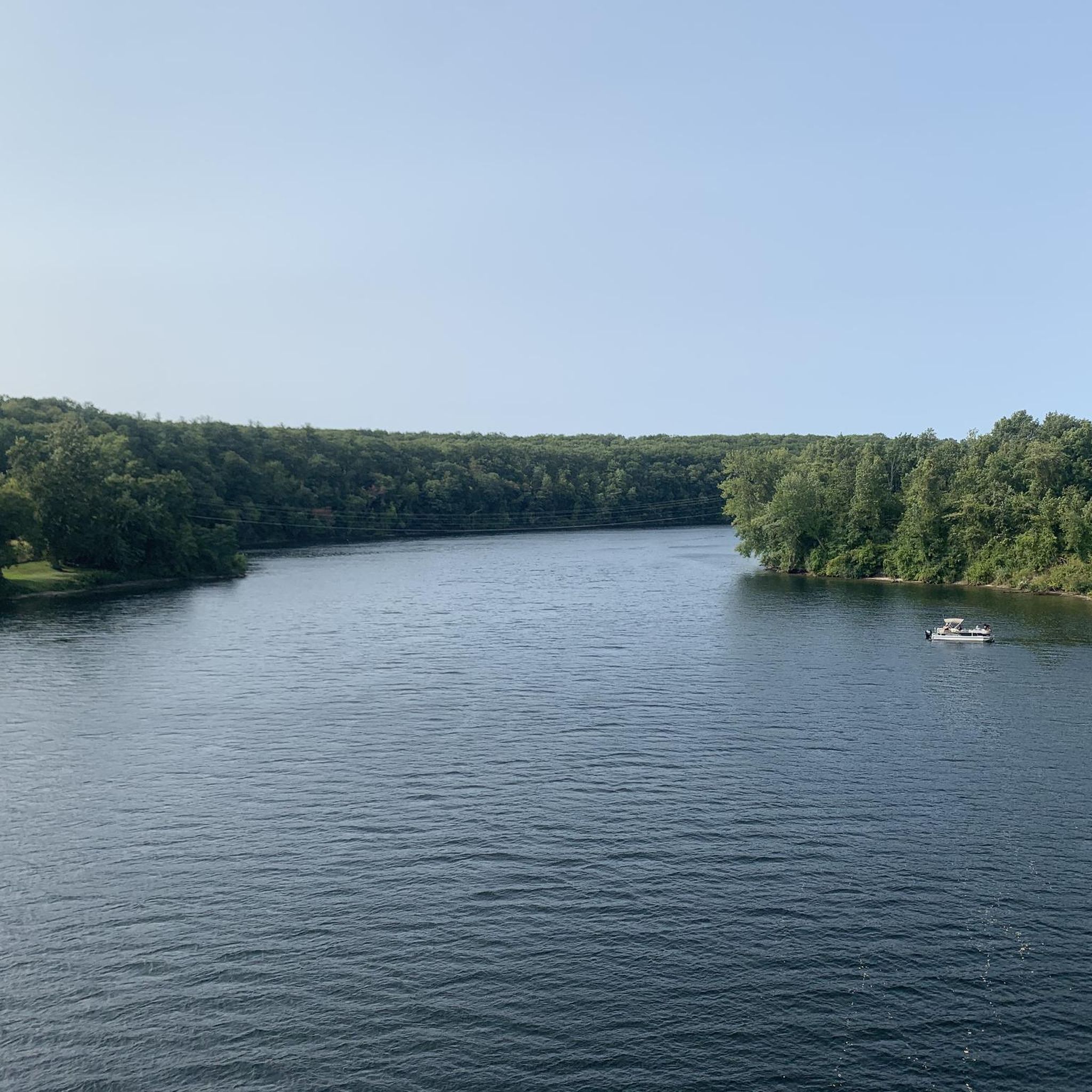
The Millers Falls area is rich in natural beauty. You can enjoy views of the Millers River, especially from the French King Bridge or the Beaver Hollow Wetland scenic overlook. The Mount Toby summit offers expansive views from its fire tower. Additionally, Lake Wyola Dam provides scenic views of the lake and surrounding hills.
Are there any running routes that are family-friendly?
For families, routes with flatter, well-maintained surfaces are often preferred. The Canalside Rail Trail - Canal Section is an excellent choice, offering a short, flat, and scenic path suitable for all ages. The Montague Plains also offer nature walks that can be adapted for family jogs.
Can I bring my dog on the running trails in Millers Falls?
Many outdoor areas in Millers Falls, including trails within the Montague Plains Wildlife Management Area and Wendell State Forest, are generally dog-friendly. However, it's always recommended to keep your dog on a leash and check specific regulations for each trail or park you plan to visit to ensure a pleasant experience for everyone.
What is the best time of year to go running in Millers Falls?
Millers Falls offers beautiful running conditions throughout much of the year. Spring and fall are particularly popular due to mild temperatures and stunning natural scenery, especially the vibrant fall foliage around the Millers River and Beaver Hollow Wetland. Summer can be great, but it's advisable to run in the mornings or evenings to avoid the midday heat. Winter running is possible, but trails may be snowy or icy.
Are there any long-distance running trails for more advanced runners?
For those seeking longer distances and more challenging runs, the extensive trail system around Mount Toby provides ample opportunities. Routes like the Mount Toby loop from Mount Toby offer significant elevation gain and a rewarding workout. The Montague Plains also feature extensive trails suitable for longer explorations.
Are there any cafes or places to eat near the running routes in Millers Falls?
Millers Falls and its surrounding towns offer various local establishments where you can refuel after a run. While specific cafes directly adjacent to every trailhead might vary, the town centers are typically a short drive away and provide options for food and drinks. For more information on the town itself, you can visit the official Montague website.
Where can I find parking for the running trails?
Many popular trailheads and natural areas in Millers Falls, such as those near Mount Toby, the Montague Plains, and the Connecticut River Greenway State Park, typically have designated parking areas. It's always a good idea to check the specific route details on komoot for information on parking availability at your chosen starting point.
What do other runners enjoy most about jogging in Millers Falls?
Runners frequently praise the diverse landscapes, from serene riverfront paths to challenging forest trails, and the natural beauty of the region. The variety of routes, catering to different fitness levels, and the opportunity to explore unique areas like the Montague Plains Wildlife Management Area are often highlighted as key attractions.
Most popular routes around Millers Falls
Most popular attractions around Millers Falls

Get inspired with the komoot mobile app


Explore more
Browse the best Running Trails & Routes in other regions.
