The best walks and hikes around Engelsbrand
4.5
(792)
2,999
hikers
78
hikes
Hiking around Engelsbrand offers diverse landscapes in the Northern Black Forest, situated at an elevation of 587-650 meters above sea level. The region features extensive forests, including those within the Naturpark Schwarzwald Mitte/Nord, and notable natural monuments such as the Monbachtal and Wolfsschlucht Gorges. Trails often follow riverside paths, like those along the Enz river, and traverse varied terrain suitable for different fitness levels.
Best hiking trails around Engelsbrand
- The most popular hiking route is View of Engelsbrand – Feuersee,…
Last updated: October 8, 2026
4.3
(45)
131
hikers
8.18km
02:23
200m
200m
Moderate hike. Good fitness required. Easily-accessible paths. Suitable for all skill levels.
4.4
(34)
97
hikers
Moderate hike. Good fitness required. Mostly accessible paths. Sure-footedness required.

3.9
(7)
39
hikers
10.2km
02:58
260m
260m
Moderate hike. Good fitness required. Easily-accessible paths. Suitable for all skill levels.
4.8
(15)
35
hikers
4.97km
01:22
90m
90m
Easy hike. Great for any fitness level. Easily-accessible paths. Suitable for all skill levels.
4.7
(3)
18
hikers
19.0km
05:33
460m
460m
Hard hike. Very good fitness required. Mostly accessible paths. Sure-footedness required.
Get access to more routes and recommendations from other explorers.
Already have an account?
Our route recommendations are based on thousands of hikes, rides, and runs completed by other people on komoot.
Start today with a free account
Your next adventure awaits.

Tips from the Community


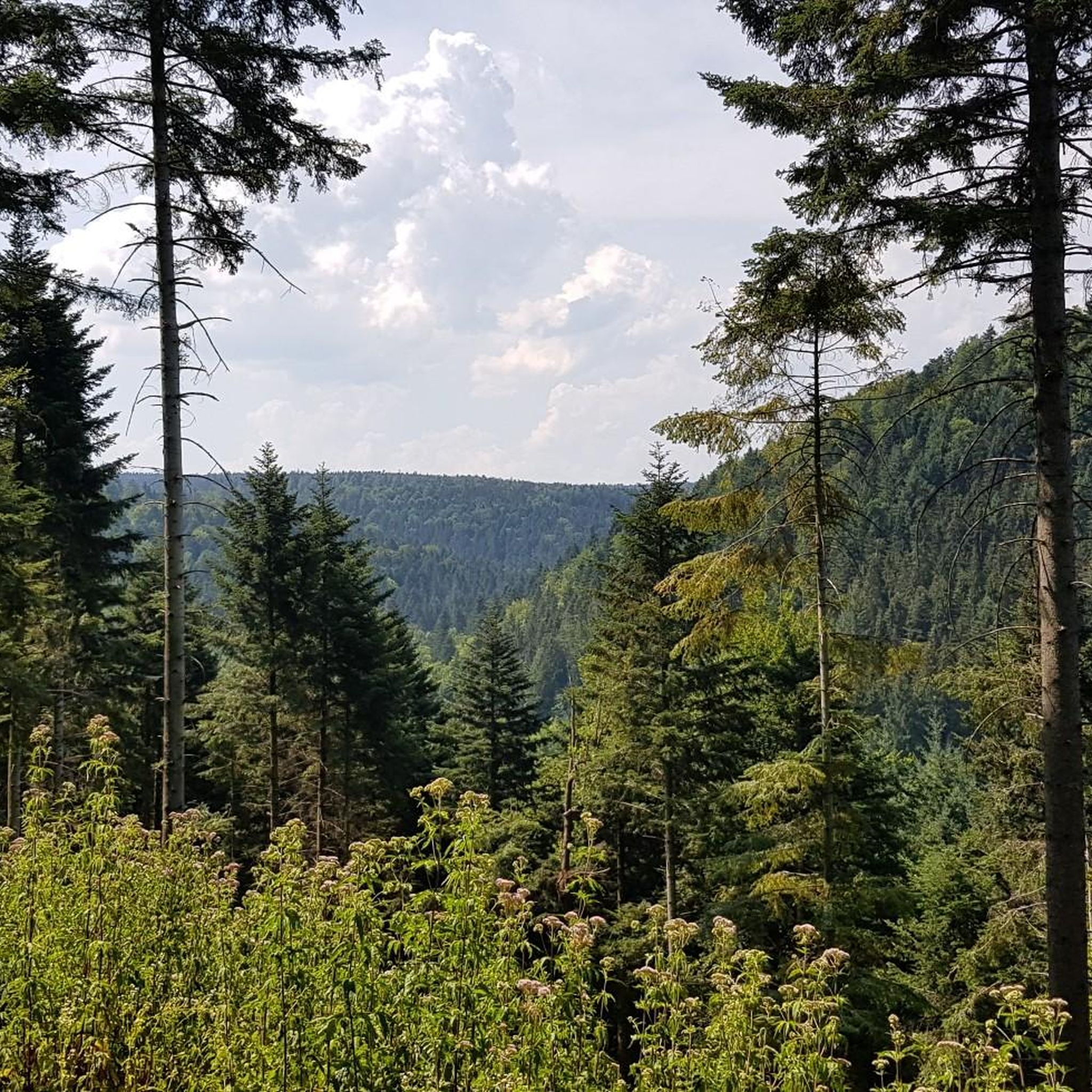
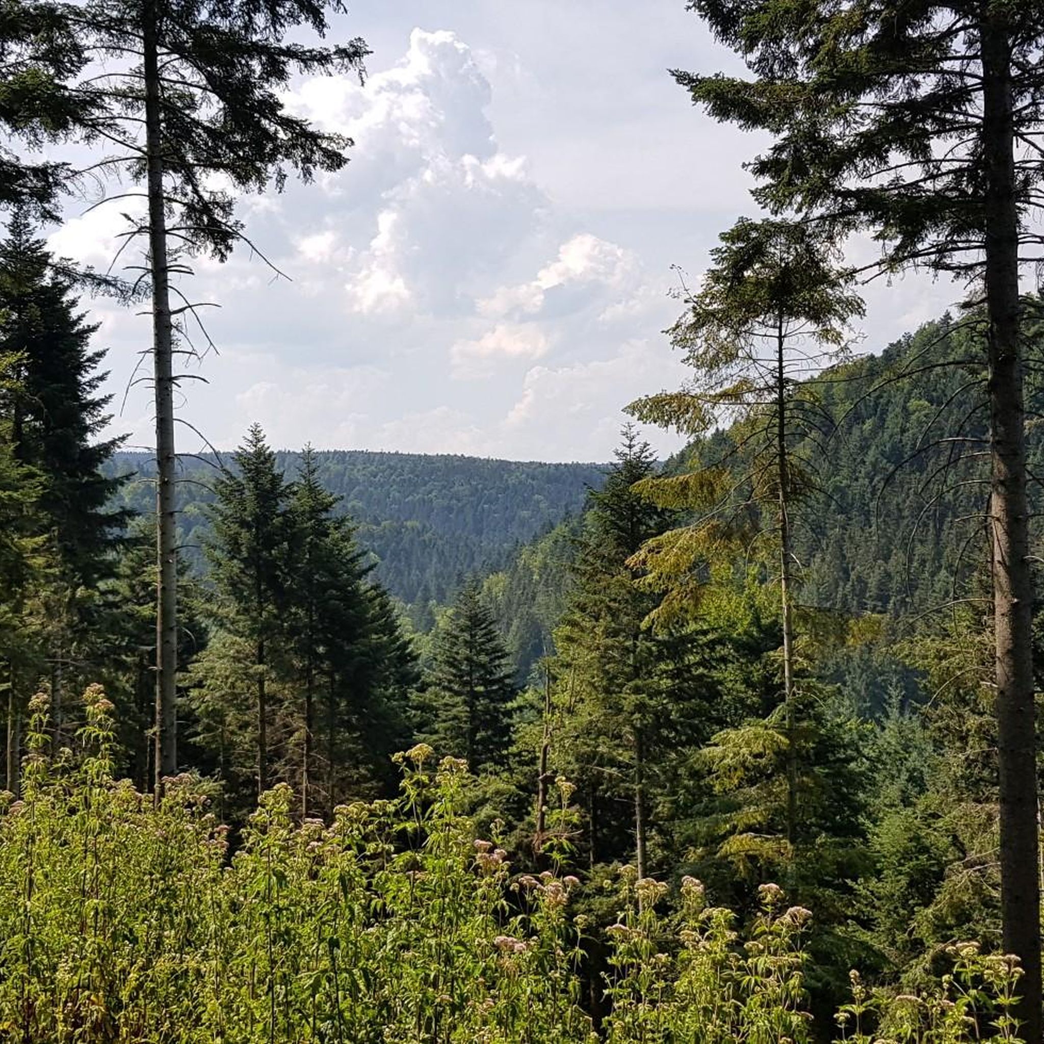
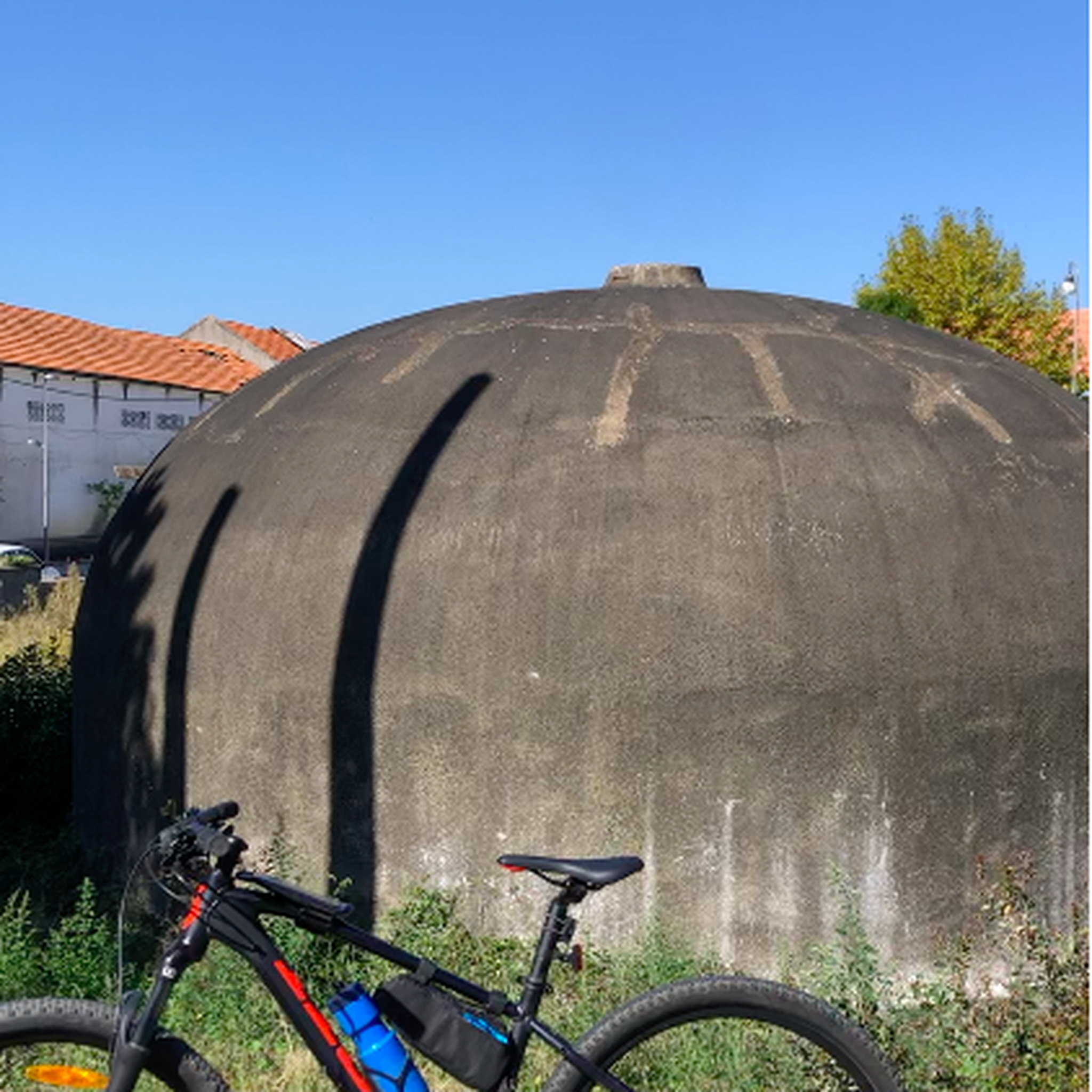
The new Eichberg hut offers an ideal place to rest with a view over the Grösseltal valley to the Waldrenach water tower.
0
0

Crossroads, where the view is now completely overgrown and there is no longer any seating available.
4
0
Wide forest path on the outskirts of Engelsbrand.
5
0
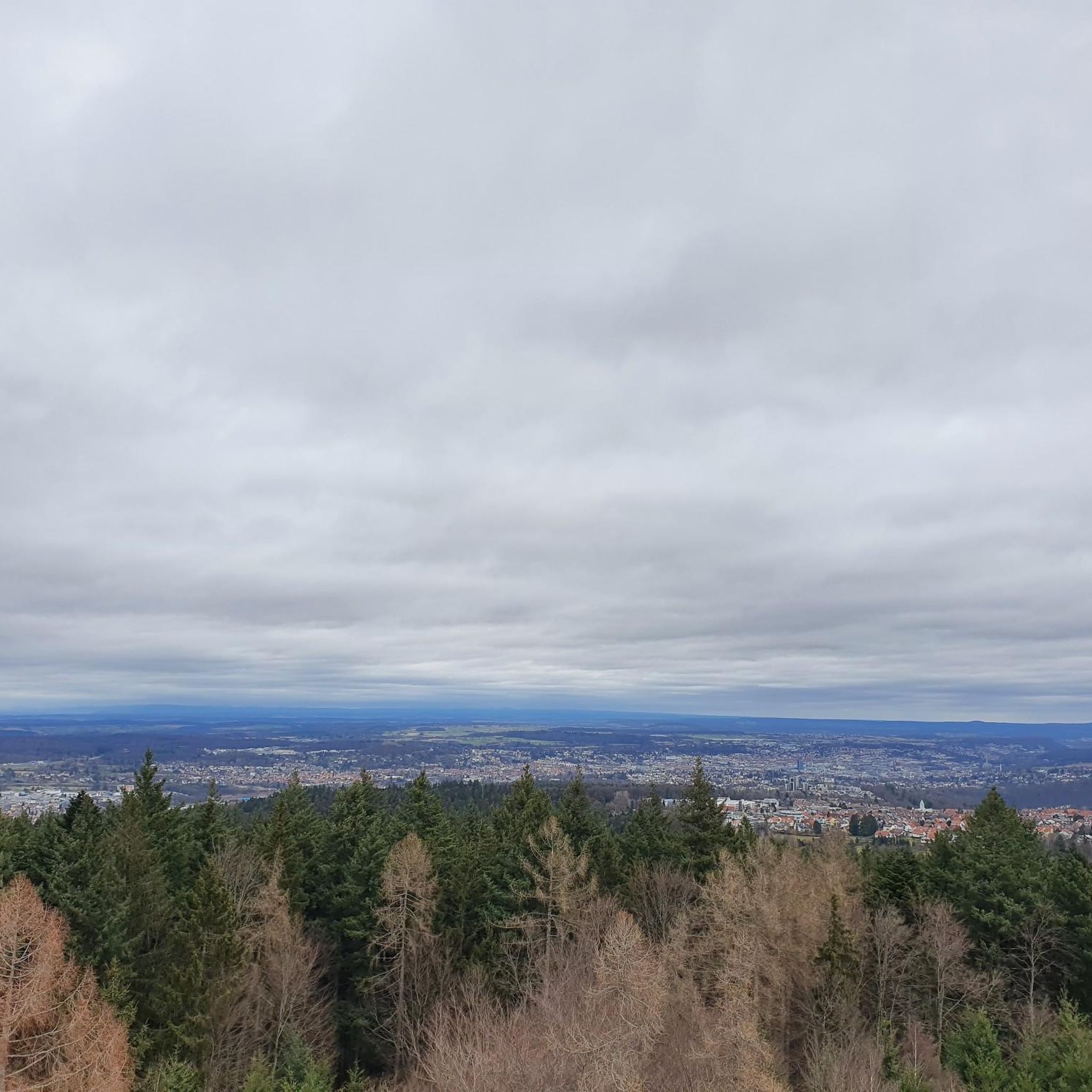
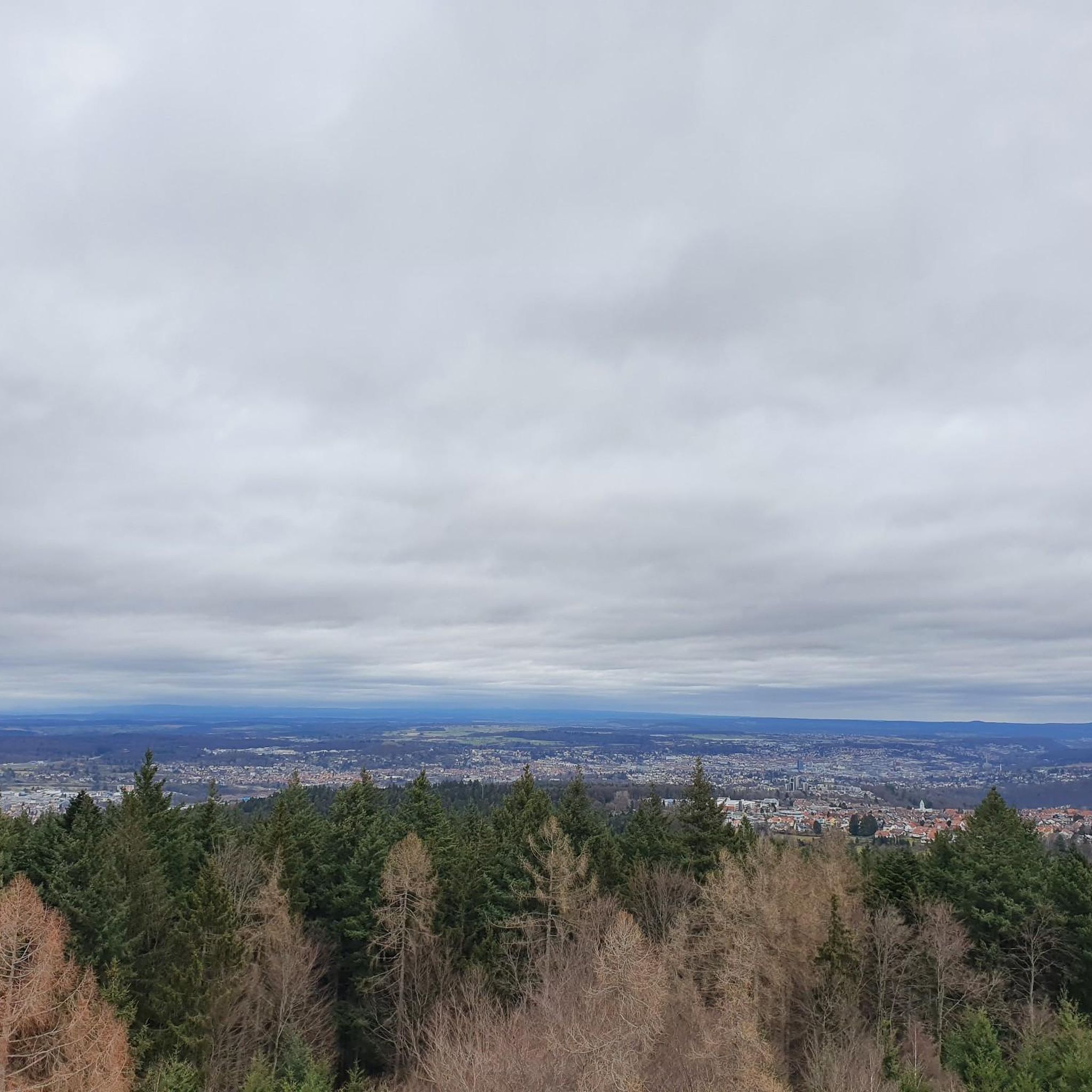
A small hill, reached by several paths, offering a beautiful view of Engelsbrand and the surrounding forests of the Nordschwald.
5
0
A beautifully situated lake on the edge of the forest with seating, which formerly served as a fire lake for Grunbach.
4
0

A place to rest. Water trickles from the spring.
1
0
Frequently Asked Questions
How many hiking trails are available around Engelsbrand?
Engelsbrand offers a wide variety of hiking opportunities, with over 75 trails recorded on komoot. These range from easy strolls to more challenging routes, ensuring there's something for every fitness level.
Are there any easy, family-friendly hikes in Engelsbrand?
Yes, Engelsbrand has many easy trails suitable for families. For instance, the View of Karlsruhe – Fängelsbrander Hut loop from Engelsbrand is an easy 5 km route that takes about 1 hour 22 minutes, offering gentle paths and scenic views. The region's varied terrain includes accessible paths requiring good basic fitness, making it ideal for family outings.
What kind of terrain can I expect on hikes around Engelsbrand?
The terrain around Engelsbrand is quite diverse, ranging from extensive forests within the Naturpark Schwarzwald Mitte/Nord to impressive natural monuments like the Monbachtal and Wolfsschlucht Gorges. You'll find well-maintained paths, riverside trails along the Enz, and routes that traverse varied elevations, from 587 to 650 meters above sea level. Some trails can involve significant elevation gain, while others are relatively flat.
Are there any circular hiking routes in the Engelsbrand area?
Yes, many routes around Engelsbrand are designed as circular walks. A popular option is the View of Engelsbrand – Feuersee, Grunbach loop from Engelsbrand, which is a moderate 8.2 km trail featuring varied forest paths and open views. Another great loop is the Fishing stone saw-head path – Chalice-Shaped Sandstone Rock loop from Engelsbrand, traversing woodlands and unique rock formations.
What natural attractions or landmarks can I see while hiking in Engelsbrand?
Engelsbrand is rich in natural beauty and historical landmarks. You can explore impressive natural monuments like the Monbachtal Gorge, known for its multiple water crossings, or the wonderfully rustic Wolfsschlucht Gorge. Hikers can also discover historic boundary stones along old border paths between Baden and Württemberg, adding a touch of history to the natural surroundings.
Are there any viewpoints or observation towers along the trails?
Yes, several trails lead to viewpoints offering scenic vistas of Engelsbrand and the surrounding Black Forest. Notable spots include the Büchenbronner Höhe Lookout Tower and the Schwanner Warte Observation Tower & Viewpoint, both providing excellent panoramic views.
What do other hikers enjoy most about the trails in Engelsbrand?
The hiking trails in Engelsbrand are highly rated by the komoot community, with an average score of 4.5 stars from over 600 reviews. Hikers frequently praise the diverse landscapes, the well-maintained paths, and the opportunity to explore extensive forests and impressive gorges. The variety of routes, from easy to challenging, is also a highlight for many visitors.
Are there any challenging hikes for experienced trekkers?
While many trails are moderate or easy, Engelsbrand does offer more challenging options. For instance, the Enz Riverside Trail – Pfatschbach Hut loop from Grunbach is a difficult 19.1 km route with significant elevation gain, taking over 5 hours to complete. These routes demand very good fitness, sure-footedness, and sturdy shoes.
Are there places to rest or find shelter along the hiking routes?
Yes, the region features numerous huts that provide convenient resting points and shelter for hikers. Examples include the Pfatschbach Hut, the Schirmkelle Schutzhütte, and the Förster-Martus-Hütte. The Pfatschbach Hut – Wildlife Enclosure Büchenbronn loop from Engelsbrand specifically includes a stop at the Pfatschbach Hut.
What is the best time of year to go hiking in Engelsbrand?
Engelsbrand offers enjoyable hiking experiences throughout much of the year. The diverse landscapes, including forests and gorges, are beautiful in spring with blooming flora, vibrant in summer, and particularly stunning with autumn colors. While specific seasonal considerations aren't detailed, the well-maintained trails generally allow for pleasant walks in most conditions, though winter might require specific gear for snow or ice.
Is public transport available to reach hiking trailheads in Engelsbrand?
Engelsbrand is situated approximately 10 km south of Pforzheim. While specific public transport links to individual trailheads are not detailed, the municipality serves as a base for exploring the region. It's advisable to check local bus schedules from Pforzheim or nearby towns to Engelsbrand to access the general area for hiking.
Most popular routes around Engelsbrand
Most popular attractions around Engelsbrand

Get inspired with the komoot mobile app


Explore more
Browse the best Hikes in other regions.
