The best mountain hikes around Engelsbrand
5.0
(3)
10
hikers
4
hikes
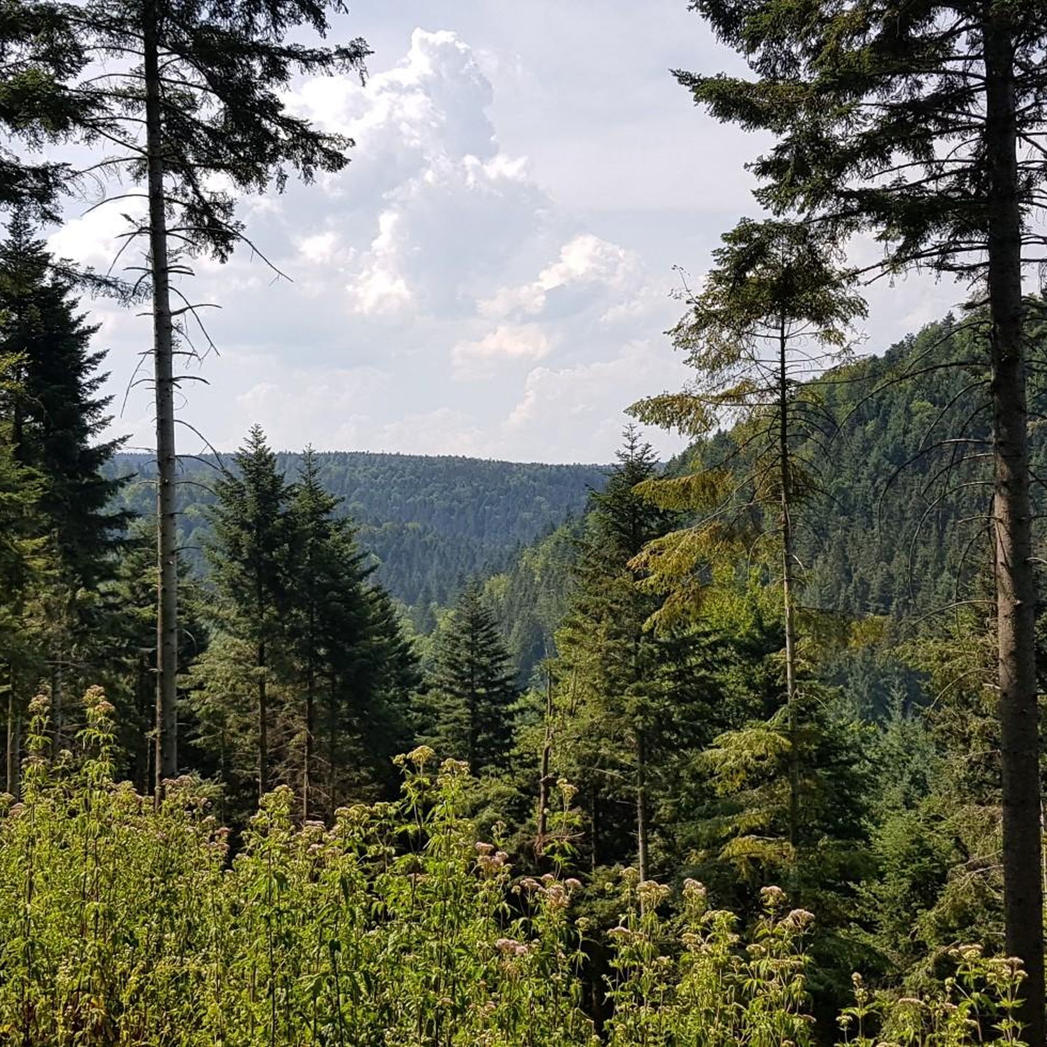
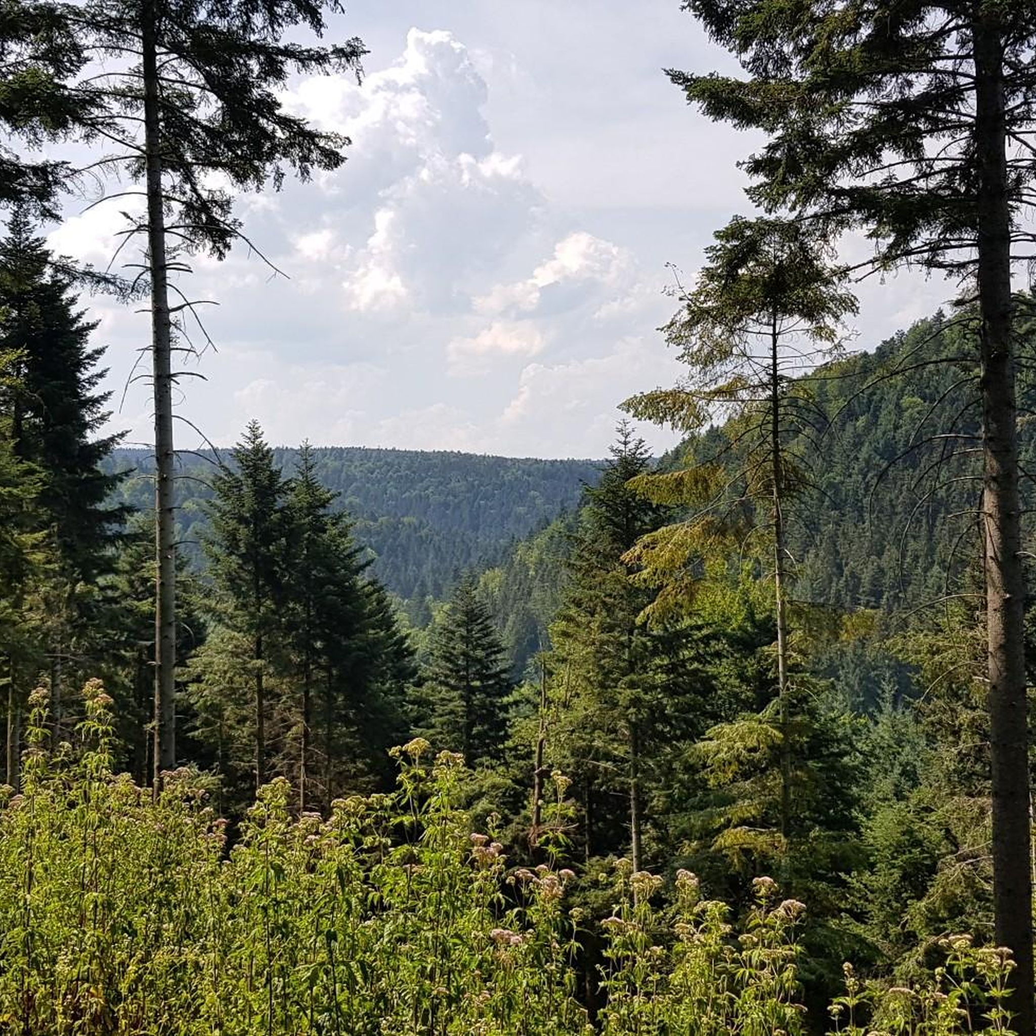
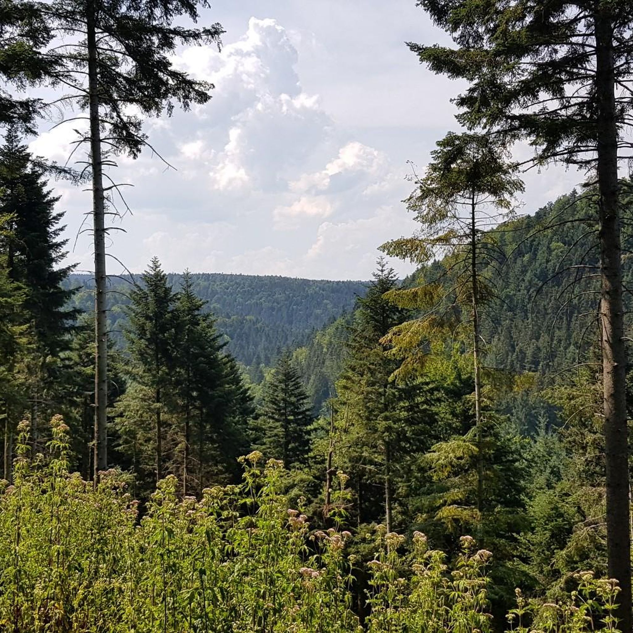
Mountaineering routes around Engelsbrand are situated in the Northern Black Forest, characterized by varied terrain ranging from 587 to 650 meters above sea level. The region features impressive natural monuments, including several gorges and valleys, offering challenging trails that require good fitness and sure-footedness. These mountain hikes often involve navigating demanding paths through dense woodlands and along river systems.
Best mountaineering routes around Engelsbrand
- The most popular mountaineering route is Mountaineering loop from Bad Liebenzell, a 6.1 miles (9.8…
Last updated: July 2, 2026
5.0
(1)
4
hikers
9.71km
02:50
260m
260m
Moderate mountaineering route. Good fitness required. Easily-accessible paths. Suitable for all skill levels.
5.0
(1)
4
hikers
11.0km
03:06
240m
240m
Moderate mountaineering route. Good fitness required. Easily-accessible paths. Suitable for all skill levels.

Sign up for free
5.0
(1)
1
hikers
7.73km
02:12
170m
170m
Moderate mountaineering route. Good fitness required. Easily-accessible paths. Suitable for all skill levels.
1
hikers
Hard mountaineering route. Very good fitness required. Mostly accessible paths. Sure-footedness required.
Our route recommendations are based on thousands of hikes, rides, and runs completed by other people on komoot.
Start today with a free account
Your next adventure awaits.
Login or Signup

Tips from the Community


In 1477, a chapel to the Holy Cross is mentioned; it stood where the monument to the victims of the World Wars stands today. In 1802/03, it was replaced by a proper, albeit unpretentious, church at the current location, which was extended by the choir in 1908, when Monakam became an independent municipality together with Unterhaugstett.
2
0

Hut with good weather protection
0
0

The Enz Valley Cycle Path between Pfhm and Neuenbürg is always an experience with diverse impressions in every season.
0
0

Be careful, it can be slippery, good footwear is not a bad idea.
0
0
Simply a fantastic hike, very idyllic, one could say.
0
0
View from a car and pedestrian bridge directly onto the Nagold River. In summer, the view is enhanced by floral decorations on the bridge.
3
0
Frequently Asked Questions
How many mountaineering routes are available around Engelsbrand?
There are currently 4 curated mountaineering routes available around Engelsbrand in the Northern Black Forest. These routes range from moderate to difficult, offering varied experiences for different skill levels.
What kind of terrain can I expect on mountaineering routes in Engelsbrand?
Mountaineering routes in Engelsbrand are characterized by varied terrain, ranging from 587 to 650 meters above sea level. You can expect demanding paths through dense woodlands, along river systems, and through impressive natural monuments like gorges and valleys. Some routes may involve scrambling or require sure-footedness, aligning with challenging mountain hikes.
Are there challenging mountaineering routes in Engelsbrand?
Yes, Engelsbrand offers challenging mountaineering routes. For instance, the Forest path along the River Enz – Enz Riverside Trail loop from Neuenbürg (Württ.) Freibad is classified as difficult, covering 17.7 km with over 550 meters of elevation gain. These routes demand very good fitness, sturdy shoes, and some alpine experience.
What do other mountaineers say about the routes in Engelsbrand?
The mountaineering routes in Engelsbrand are highly rated by the komoot community, with an average score of 5.0 stars from 1 review. Mountaineers often praise the varied terrain, the scenic beauty of the Black Forest, and the challenging yet rewarding nature of the trails.
Are there any circular mountaineering routes in Engelsbrand?
Yes, all the mountaineering routes featured in this guide are circular. For example, you can explore the Mountaineering loop from Bad Liebenzell, a 9.8 km trail, or the Kneipp Becken loop from Monbach-Neuhausen, which is 10.9 km long and winds through the scenic Monbachtal Gorge area.
Can I find routes with good viewpoints in Engelsbrand?
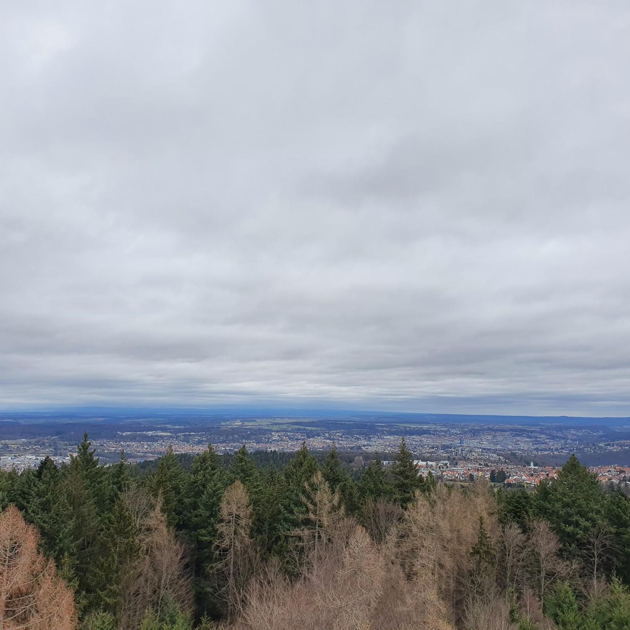
Absolutely. The region around Engelsbrand offers several excellent viewpoints. While on your mountaineering adventure, you might consider visiting highlights such as the Büchenbronner Höhe Lookout Tower or the Schwanner Warte Observation Tower & Viewpoint, which offer panoramic views of the surrounding Black Forest landscape.
What natural attractions can I explore along the routes?
Engelsbrand is rich in natural beauty. You can explore impressive gorges like the Monbachtal Gorge, known for its multiple water crossings and scrambling sections, or the rustic Wolfsschlucht Gorge. The Würm Valley and the Würm River also offer scenic spots to take a break by the water.
Are there less strenuous mountain hikes suitable for families in Engelsbrand?
While this guide focuses on more demanding mountaineering routes, the broader Engelsbrand area in the Northern Black Forest does offer a network of diverse hiking trails. Some of these are easier walks suitable for all fitness levels, though they might not be classified as 'mountaineering' in the traditional sense. For specific family-friendly options, it's best to check komoot's general hiking guides for the region.
Are dogs allowed on the mountaineering routes in Engelsbrand?
Generally, dogs are welcome on hiking and mountaineering trails in the Black Forest region, including around Engelsbrand. However, it's always recommended to keep your dog on a leash, especially in nature reserves, near wildlife, or when passing through populated areas. Be sure to carry water for your dog, particularly on longer or more challenging routes.
What is the best time of year for mountaineering in Engelsbrand?
The best time for mountaineering in Engelsbrand is typically from spring to autumn (roughly April to October). During these months, the weather is generally more stable, and trails are clear of snow and ice, making for safer and more enjoyable conditions. Always check local weather forecasts before heading out, as conditions can change rapidly in mountainous regions.
Are there options for public transport access to mountaineering routes in Engelsbrand?
Engelsbrand and the surrounding Black Forest region are generally well-connected by public transport, including buses and regional trains. While specific route starting points may vary in accessibility, many trailheads can be reached via public transport. It's advisable to check local bus and train schedules to plan your journey to the desired starting point for your mountaineering adventure.
What should I wear for mountaineering in Engelsbrand?
For mountaineering in Engelsbrand, it's essential to wear sturdy, waterproof hiking boots with good ankle support, as trails can be uneven and sometimes wet. Layered clothing is recommended to adapt to changing weather conditions, including a waterproof and windproof outer shell. Don't forget sun protection, a hat, gloves (even in summer for higher altitudes), and a backpack with sufficient water, snacks, and a first-aid kit.
Most popular routes around Engelsbrand
Most popular attractions around Engelsbrand

Get inspired with the komoot mobile app


Explore more
Browse the best Mountain Hikes & Routes in other regions.
