The best running trails around Engelsbrand
4.1
(12)
197
runners
41
runs
Jogging routes around Engelsbrand offer a diverse landscape for outdoor activity, situated in the Northern Black Forest at an elevation between 587 and 650 meters above sea level. The region is characterized by its extensive network of trails, dense woodlands, and rolling hills. Joggers can explore varied terrain, from accessible paths along valleys to more challenging routes with significant elevation changes. The Würm Valley, with its lively Würm River, provides a scenic backdrop for running.
Best jogging routes around Engelsbrand
…Last updated: October 11, 2026
5.0
(3)
22
runners
7.12km
00:46
120m
120m
Moderate run. Good fitness required. Mostly paved surfaces. Suitable for all skill levels.
3.0
(1)
18
runners
12.6km
01:21
160m
160m
Moderate run. Good fitness required. Mostly paved surfaces. Suitable for all skill levels.

5.0
(1)
9
runners
5.45km
00:35
70m
70m
Moderate run. Good fitness required. Mostly paved surfaces. Suitable for all skill levels.
7
runners
4.11km
00:27
70m
70m
Easy run. Great for any fitness level. Mostly paved surfaces. Suitable for all skill levels.
16
runners
10.3km
01:04
90m
90m
Moderate run. Good fitness required. Mostly paved surfaces. Suitable for all skill levels.
Get access to more routes and recommendations from other explorers.
Already have an account?
Our route recommendations are based on thousands of hikes, rides, and runs completed by other people on komoot.
Start today with a free account
Your next adventure awaits.

Tips from the Community

Now closed, has closed. Is open again under new management
2
0

Crossroads, where the view is now completely overgrown and there is no longer any seating available.
4
0
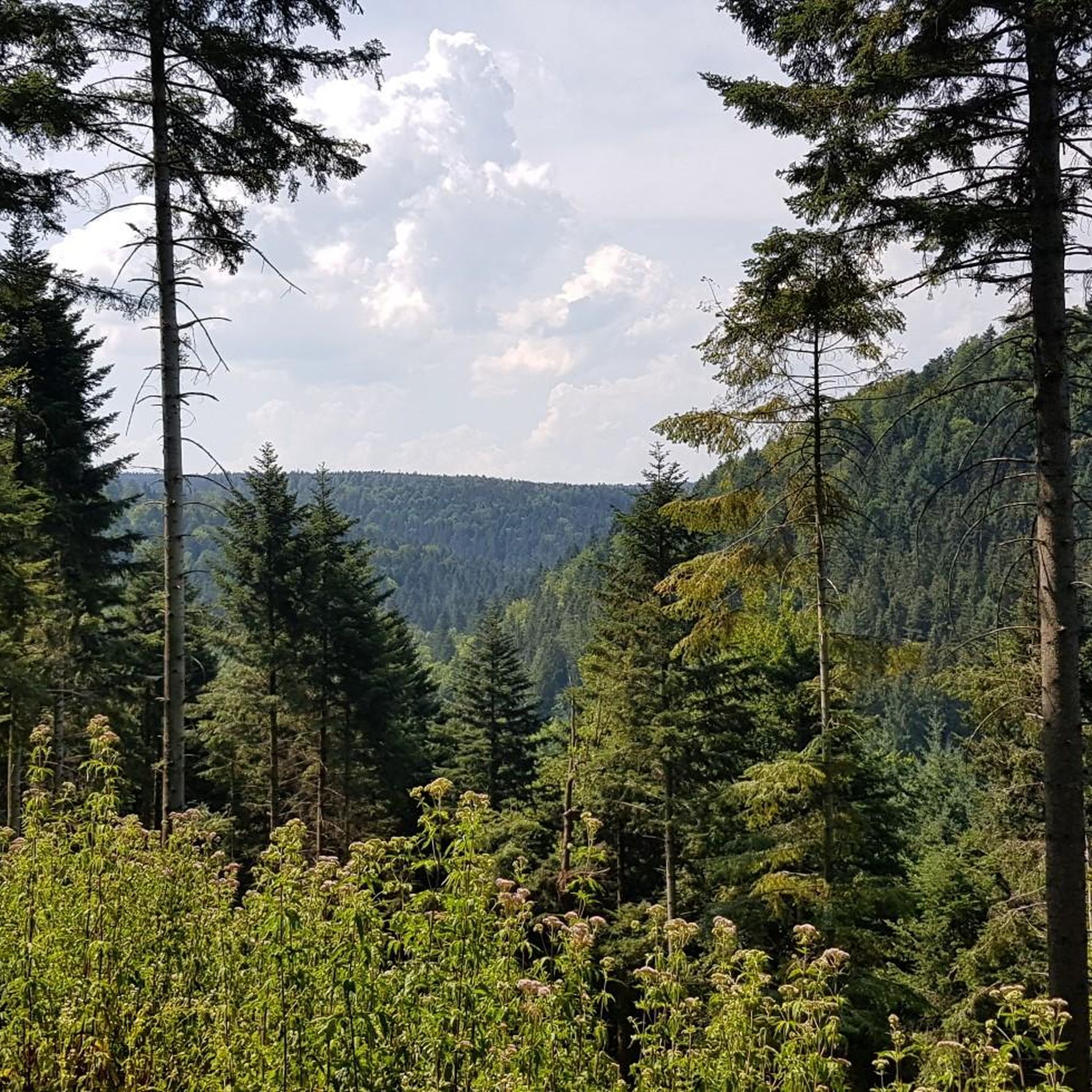
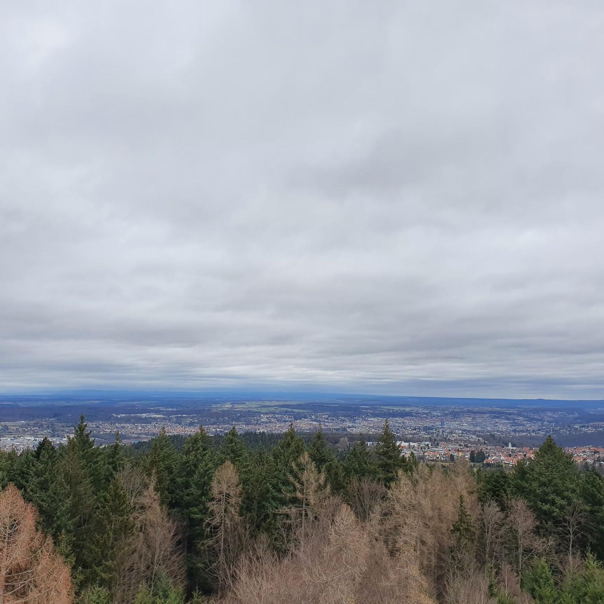
A small hill, reached by several paths, offering a beautiful view of Engelsbrand and the surrounding forests of the Nordschwald.
5
0
Historical signpost with the Württemberg coat of arms between the two districts of Langenbach and Salmbach.
6
0
Adler Café and Adler-Keller event venue. More information: https://adler.cafe/index.htm
4
0
Historic boundary stone between Grunbach and Salmbach directly on the L338 near Engelsbrand.
4
0

Hut with good weather protection
0
0

The tower is cordoned off and inaccessible. The last renovation was in 1984. I assume that after more than 40 years, it's time for a thorough inspection of the tower and its 125 steps leading to the viewing platform.
15
0
Frequently Asked Questions
How many running routes are available around Engelsbrand?
There are over 35 dedicated running routes around Engelsbrand, offering a diverse range of options for all fitness levels. These include easy paths, moderate trails, and challenging runs through the Northern Black Forest landscape.
What kind of terrain can I expect on the jogging trails in Engelsbrand?
The jogging trails in Engelsbrand feature varied terrain, from accessible paths along scenic valleys like the Würm Valley to more strenuous routes with significant elevation changes. You'll primarily run through dense woodlands and rolling hills characteristic of the Black Forest.
Are there any easy or beginner-friendly jogging routes in Engelsbrand?
Yes, Engelsbrand offers several easy jogging routes suitable for beginners. An example is the View of Karlsruhe – Fängelsbrander Hut loop from Engelsbrand, which is 4.4 km long and takes about 28 minutes to complete, leading through pleasant forested areas.
Can I find challenging trail running options in the Engelsbrand area?
Absolutely. For those seeking a more strenuous workout, Engelsbrand provides difficult trail running options. The Monbachtal Waterfall – Nagold Valley Cycle Path loop from Kapfenhardt is a challenging 25.6 km route that explores dramatic gorges and scenic river valleys.
What are some natural landmarks or points of interest I might see while running in Engelsbrand?
While running in Engelsbrand, you can encounter various natural features. The region is known for its dense woodlands, rolling hills, and scenic valleys like the Würm Valley. For dramatic scenery, the nearby Monbachtal Gorge offers unique views. You might also pass by the Büchenbronner Höhe Lookout Tower, providing panoramic views of the Black Forest.
Are there any historical sites or attractions along the running routes?
Yes, some routes offer a glimpse into the region's history. For instance, trails like the Old Border Path feature historic boundary stones marking the old border between Baden and Württemberg. Additionally, you can find several castles nearby, such as Liebenzell Castle or Neuenbürg Castle, which can be explored in conjunction with your run.
What do other runners say about the trails in Engelsbrand?
The running routes in Engelsbrand are highly regarded by the komoot community, with an average rating of 3.9 stars from over 7 reviews. More than 170 runners have used komoot to explore the varied terrain, often praising the tranquil Black Forest woodlands and well-maintained paths.
Are there any circular running routes available in Engelsbrand?
Many of the running routes in Engelsbrand are designed as circular loops, allowing you to start and finish at the same point. Examples include the Ameisenwald Hut – Schollenbächlehütte loop from Grunbach and the Ameisenwaldhütte – Shelter on Schwarzenberger Weg loop from Grunbach.
Are the jogging routes in Engelsbrand suitable for families?
Engelsbrand offers a range of trails, and many of the easier, less strenuous paths are suitable for families looking for a gentle jog or walk. The diverse network allows families to choose routes that match their children's fitness levels, often through pleasant forest settings.
What is the best time of year for jogging in Engelsbrand?
Engelsbrand offers appealing jogging conditions throughout much of the year. The Black Forest scenery is beautiful in spring with new growth, vibrant in summer, and particularly stunning with autumn foliage. Winter jogging is also possible, though trail conditions may vary with snow and ice, so checking local conditions is advisable.
Are there any routes that pass by a wildlife enclosure?
Yes, some routes in the Engelsbrand area, such as a popular loop trail from Engelsbrand, pass by a wildlife enclosure in Büchenbronn, adding an interesting point of interest to your run.
Are there any routes with a view of the Black Forest?
Yes, several routes offer scenic views of the surrounding Black Forest landscape. For example, the Ameisenwald Hut – View of the Black Forest loop from Grunbach provides excellent vistas.
Most popular routes around Engelsbrand
Most popular attractions around Engelsbrand

Get inspired with the komoot mobile app


Explore more
Browse the best Running Trails & Routes in other regions.
