The best running trails in Bandelier Wilderness
4.8
(5)
117
runners
52
runs
Jogging in Bandelier Wilderness offers diverse routes through a landscape characterized by deep canyons, ancient pueblo ruins, and varied forest trails. The region features significant elevation changes, particularly along canyon rims and within its extensive trail network. Runners can explore paths that traverse historical sites and natural formations, providing a unique blend of cultural and outdoor experiences.
Best jogging routes in Bandelier Wilderness
- The most popular jogging route is Frijoles Trail to Yapashi Pueblo ruins loop trail run, a…
Last updated: July 8, 2026
4
runners
24.4km
03:20
690m
690m
Embark on a challenging jogging adventure through the Frijoles Trail to Yapashi Pueblo ruins loop, a difficult route spanning 15.2 miles (24.4 km) with a significant 2280 feet (695 metres)…
1
runners
21.2km
02:31
440m
440m
Embark on a challenging jogging adventure through the Frijoles Canyon and Rim Trail Loop, a difficult route spanning 13.2 miles (21.2 km). You will experience diverse terrain, from open rim…

Sign up for free
1
runners
4.79km
00:36
90m
90m
Embark on the Falls Trail, an easy jogging route that guides you through the natural beauty of Bandelier National Monument. As you move along, you will experience the refreshing sound…
6.36km
00:52
210m
210m
Embark on a moderate jogging experience along the Ponderosa Trail, a 4.0-mile (6.4 km) route that winds through the scenic Bandelier National Monument. You will gain 677 feet (206 metres)…
1
runners
5.48km
00:43
150m
150m
Embark on the Frey Trail for a moderate jogging experience that rewards you with sweeping vistas. This 3.4-mile (5.5 km) route involves an uphill climb, gaining 480 feet (146 metres)…
Get access to more routes and recommendations from other explorers.
Sign up for free
Already have an account?
Our route recommendations are based on thousands of hikes, rides, and runs completed by other people on komoot.
Start today with a free account
Your next adventure awaits.
Login or Signup
Popular around Bandelier Wilderness
Tips from the Community

The Ferry Trail is about a mile and a half long and takes hikers through forests and open spaces with nice views of the surrounding plateaus and hills. The Ferry Trail is the main connecting trail between the Juniper Campground area and the Bandelier National Monument Visitor Center.
0
0
The Falls Trail brings runners to Upper and Lower Frijloes Falls by first descending down to the falls, then ascending to get back to the start. In the past, the trail led all the way down to the Rio Grande but now ends at the Upper Falls. Along the trail, rock formations can be found along with other geological interests. In the winter, this trail can get icy, so approach with caution.
0
0
Upper Frijoles Falls is a waterfall that comes off of Frijoles Creek. This waterfall and others in the area were created when stronger rocks, like basalt, slowed the erosional process. This area is known as a geological point of interest. Looking across the creek here, there are maar volcano deposits that formed during ancient volcano eruptions, when molten rock erupted through water.
0
0
Lower Frijoles Falls is the last stop on the Falls Trail before it terminates. Here, hikers get a view over the Lower Frijoles Falls, where, in different seasons, water can be flowing low or rushing out! In the winter months, it gets cold enough for ice cycles to form around the falls. The canyon around the falls has multicolored rocks and foliage that changes with the seasons as well.
0
0
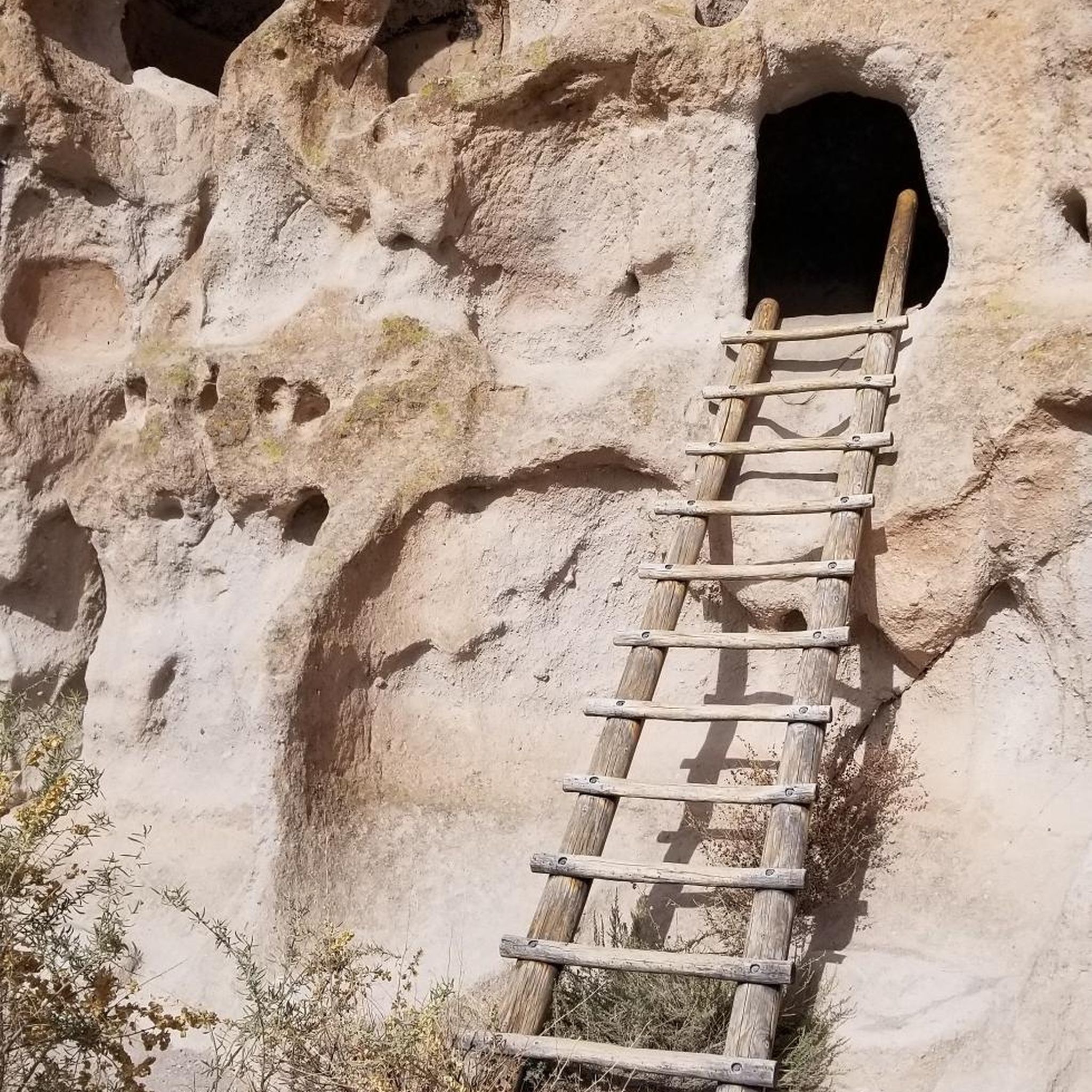
The Yapashi Ancestral Pueblo site's ruins are on the Pajarito Plateau in the Bandelier backcountry. Beyond the ancient ruins, runners can enjoy the panoramic views of the volcanic landscape formed by the ancient Valles Caldera eruption. These ruins were made by the Keres people in 1200–1500 CE. Some of the buildings were up to three stories tall and had hundreds of rooms.
0
0
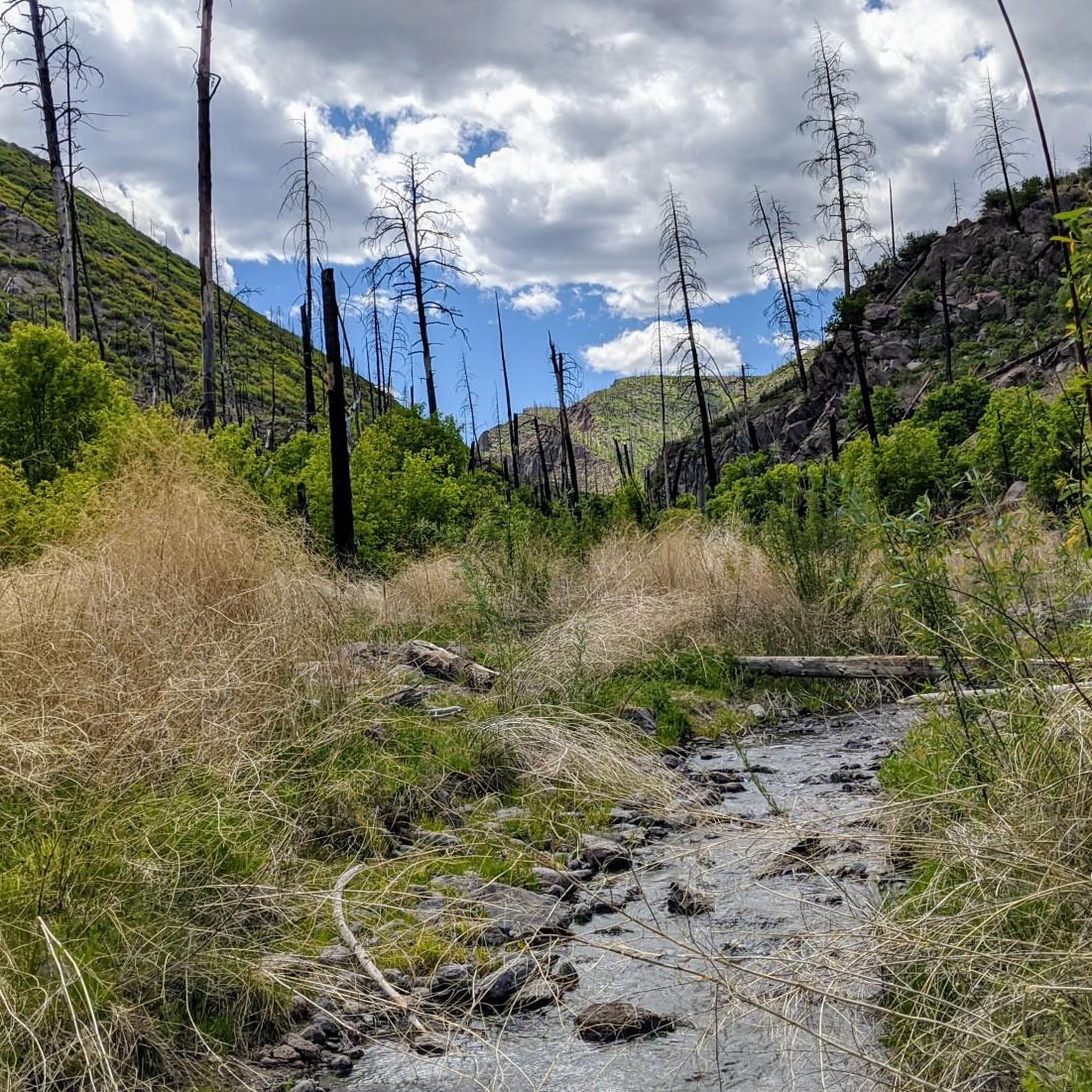
The Frijoles Trail follows the Rito de los Frijoles in the Frijoles Canyon. Runners can marvel at the high canyon walls towering overhead. The Frijoles Trail is about 5 miles one way.
0
0
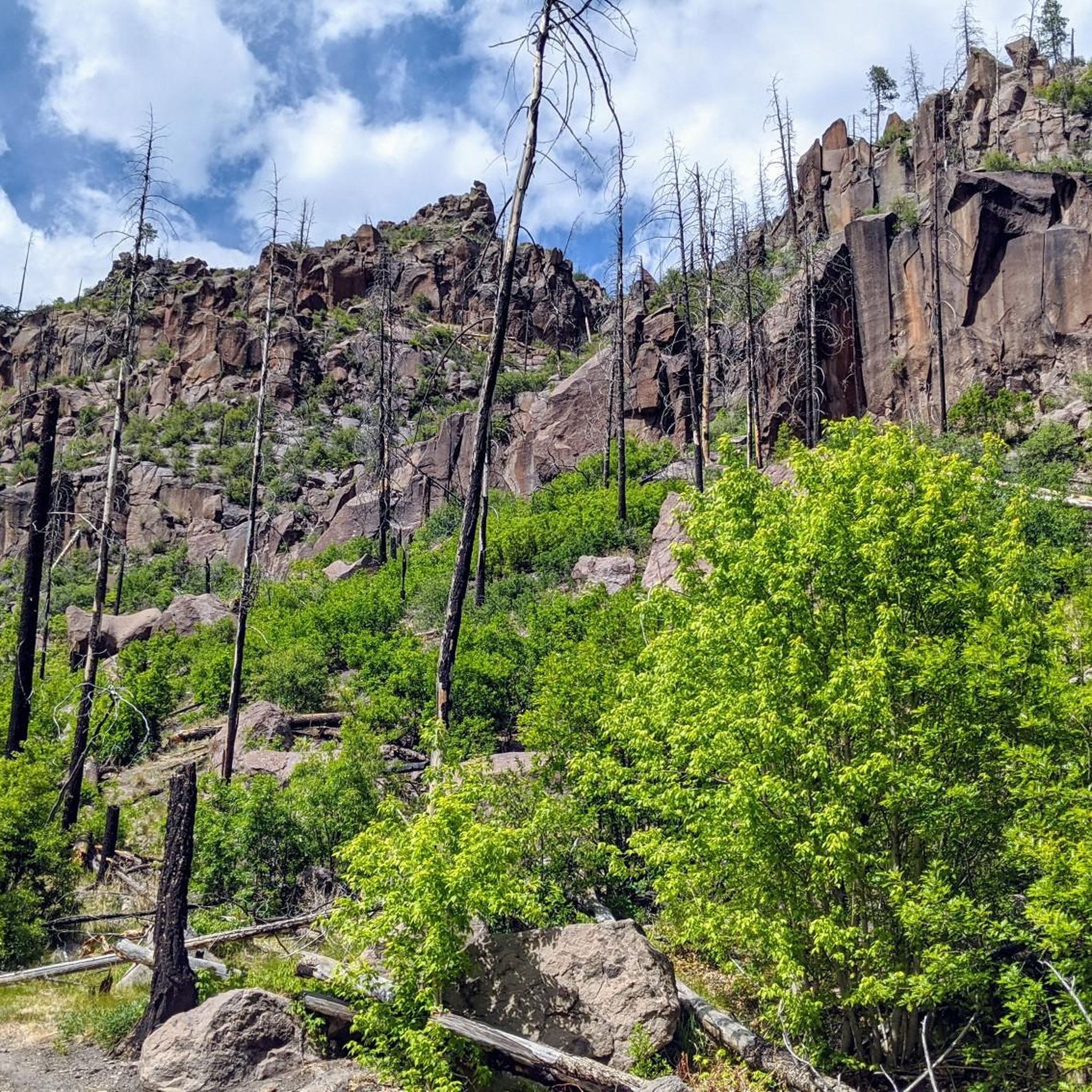
The Frijoles Rim Trail is about 8 miles long one way and brings runners just above the rim of the Frijoles Canyon. It has great views and amazing natural rock features. It is advised to bring good skin protection for this trail as shade can be sparse.
0
0

Upper Frijoles Crossing is where the Ponderosa, Frijoles Rim, Frijoles, and Apache Springs Trails all intersect. This spot also has fantastic views down the lush canyon and is a great place to pause and take some photos and sip some water because it can get hot out there!
0
0
Frequently Asked Questions
How many running routes are available in Bandelier Wilderness?
Bandelier Wilderness offers nearly 50 running routes, catering to various skill levels. You'll find a mix of easy, moderate, and difficult trails to explore.
Are there running routes suitable for beginners in Bandelier Wilderness?
Yes, Bandelier Wilderness features 7 easy running routes. A great option for beginners is the Falls Trail, a 3.0-mile path that leads through a canyon to a waterfall.
What about more challenging running trails for experienced runners?
For advanced runners, there are 17 difficult routes available. Consider the Frijoles Trail to Yapashi Pueblo ruins loop trail run, a 15.2-mile challenging route exploring ancient ruins, or the Frijoles Canyon and Rim Trail Loop, a 13.2-mile path with expansive views.
Are there any loop running trails in Bandelier Wilderness?
Yes, many routes in Bandelier Wilderness are loops, offering varied scenery without retracing your steps. Popular loop options include the Frijoles Trail to Yapashi Pueblo ruins loop trail run and the Frijoles Canyon and Rim Trail Loop.
What kind of views or landmarks can I expect along the running routes?
Running in Bandelier Wilderness offers a blend of natural beauty and historical significance. You can expect to see deep canyons, ancient pueblo ruins, and varied forest trails. Notable landmarks include Frijoles Falls, the Painted Cave, and the Shrine of the Stone Lions.
Is Bandelier Wilderness suitable for family-friendly running or jogging?
While many trails feature significant elevation changes, there are easier routes that families can enjoy. The Falls Trail is a relatively short and scenic option that could be suitable for families looking for a less strenuous run or walk.
What do other runners enjoy the most about jogging in Bandelier Wilderness?
The running routes in Bandelier Wilderness are highly rated by the komoot community, with an average score of 4.8 stars. Runners often praise the unique blend of cultural and outdoor experiences, highlighting the ancient ruins, scenic canyons, and diverse forest trails.
Are permits required for jogging in Bandelier Wilderness?
Bandelier National Monument, which encompasses the Wilderness, typically requires an entrance fee. For specific wilderness permits or regulations, especially for overnight stays or certain areas, it's best to check the official National Park Service website for Bandelier National Monument before your visit.
Is Bandelier Wilderness dog-friendly for running?
Dogs are generally permitted on paved roads and in developed areas like campgrounds and picnic areas within Bandelier National Monument. However, they are typically not allowed on most trails, including wilderness trails, to protect wildlife and cultural resources. Always verify the most current pet regulations on the official park website before bringing your dog.
What is the best time of year to jog in Bandelier Wilderness?
Spring and fall generally offer the most pleasant running conditions in Bandelier Wilderness, with mild temperatures and clear skies. Summer can be hot, especially in the canyons, while winter may bring snow and ice, particularly at higher elevations, requiring appropriate gear and caution.
Where can I find parking for the running trails?
Parking is available at the Bandelier National Monument visitor center. During peak season, a shuttle bus service often operates from outside the park to the Frijoles Canyon area, where many popular trails begin. Always check the park's official website for current parking and shuttle information.
Are there any waterfalls to see on the running routes?
Yes, the Falls Trail leads directly to Frijoles Falls, offering a beautiful natural reward for your run. It's a popular and accessible option for those looking to combine their run with a scenic waterfall visit.
Most popular routes in Bandelier Wilderness
Most popular attractions in Bandelier Wilderness

Get inspired with the komoot mobile app


Explore more
Browse the best Running Trails & Routes in other regions.
