The best MTB trails in Rohrbunner Forst
4.6
(1633)
4,070
riders
260
rides
Mountain biking in Rohrbunner Forst offers diverse landscapes and trails through a rich forest environment. The region features a variety of paths, from easy routes to more challenging terrain, suitable for exploration by mountain bike. Natural monuments and scenic backdrops provide engaging features along the trails. This area combines natural allure with historical points of interest, creating a well-rounded outdoor experience.
Best mountain bike trails in Rohrbunner Forst
- The most popular mountain bike trail is Eselsweg – Hundsrück Section –…
Last updated: October 4, 2026
4.3
(3)
4
riders
41.9km
04:05
940m
940m
Hard mountain bike ride. Very good fitness required. Advanced riding skills necessary.
4.9
(17)
34
riders
21.5km
01:45
350m
350m
Moderate mountain bike ride. Good fitness required. Advanced riding skills necessary.

4.7
(7)
25
riders
31.1km
02:54
600m
600m
Moderate mountain bike ride. Good fitness required. Advanced riding skills necessary.
4.6
(5)
17
riders
24.9km
02:11
390m
390m
Moderate mountain bike ride. Good fitness required. Advanced riding skills necessary.
4.8
(5)
16
riders
14.4km
01:08
280m
280m
Easy mountain bike ride. Great for any fitness level. Suitable for all skill levels.
Get access to more routes and recommendations from other explorers.
Already have an account?
Our route recommendations are based on thousands of hikes, rides, and runs completed by other people on komoot.
Start today with a free account
Your next adventure awaits.
Tips from the Community

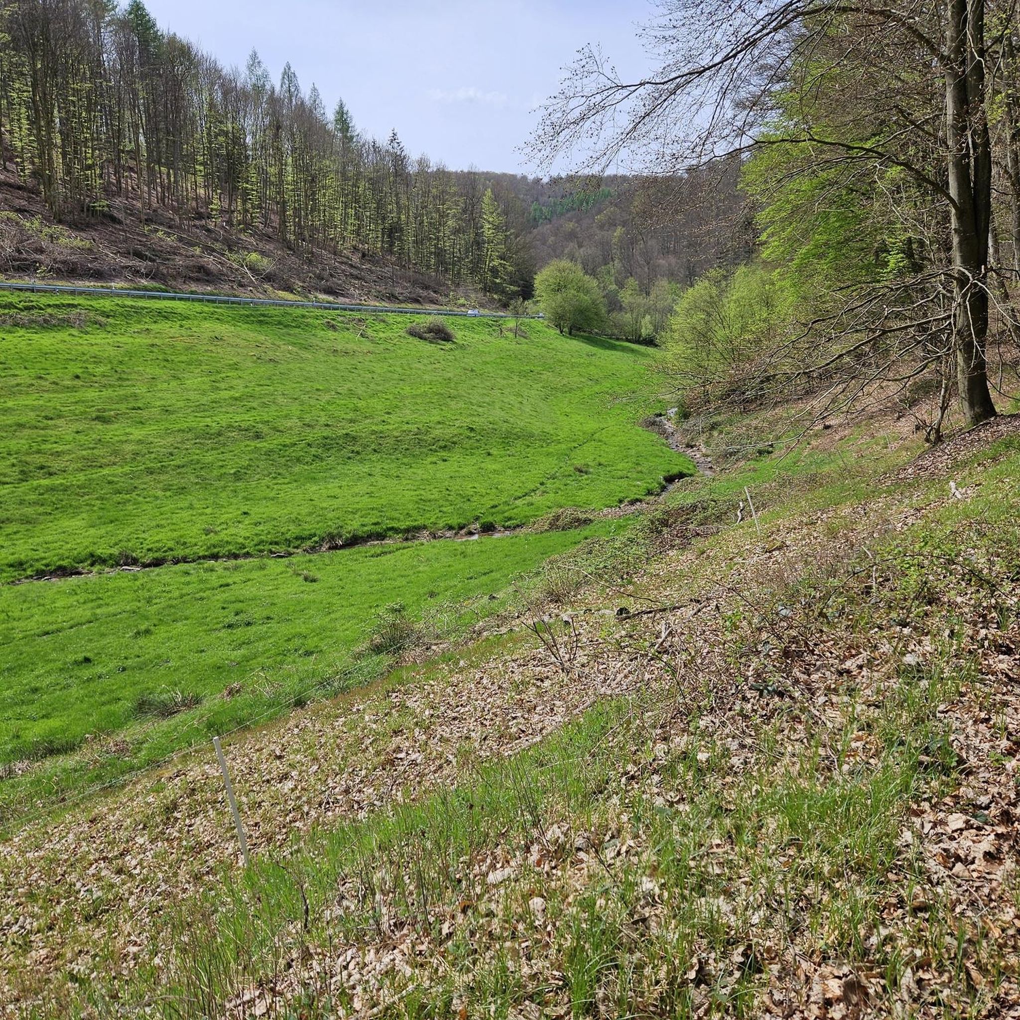
The Hafenlohr is a 26.5 km (27.7 km with Tiergartenbach) long, right tributary of the Main in the districts of Aschaffenburg and Main-Spessart in the Bavarian Spessart. The Hafenlohr originates from two springs in the municipality of Rothenbuch. The longer and at times more water-rich source is the Tiergartenbach, which often dries up on dry days. Officially, it is considered the upper course of the main water body of the Hafenlohr. The origin named Hafenlohrquelle in the middle of the village provides water almost all year round. The Hafenlohrquelle is located at Schloss Rothenbuch. It was channeled in sandstone during the widening of the road St 2317. Its water flows through the castle moat northwestward and flows into the bed of the Tiergartenbach about a hundred meters later from the left side, which flows from the Tiergartengrund on the northern edge of the village and is already 1.3 km long. It does not supply water all year round, but at times more than the also perennial spring at the castle. The spring at the castle was probably a meeting point for hunting in the eastern Spessart in the past, which is why the construction of a hunting lodge began here in 1342. The castle moat and some surrounding trout lakes, which no longer exist today, were fed with the emerging spring water. Source and further information: https://de.wikipedia.org/wiki/Hafenlohr_(Fluss)
1
0

Hasn't existed for a long time
1
0
The Hohen Knuck no longer exists. Otherwise, I would recommend it.
1
0
The Hafenlohrtal is wonderfully quiet. And so beautiful.
0
0

Beautiful facility in the recreational area
0
0

The pillars are not necessarily suitable for beginner climbers.
1
0

Very nice trail, feels completely flat.
0
0
The Federal Motorway 3 (ABC 3) – short form: Autobahn 3 (abbreviation: A 3) – is 769 kilometers long, making it Germany's second-longest motorway after the A 7. It runs from the Dutch border through the Ruhr region, the Cologne area, the Rhine-Main region, Franconia, and eastern Bavaria to the Austrian border near Schärding. It connects the Dutch and Belgian North Sea ports with southern and eastern Europe and, as part of the European routes 34, 35, 41, 42, 43, 44, 45, and 56, is one of Europe's most important transport routes. Source: Wikipedia
2
0
Frequently Asked Questions
How many mountain bike trails are available in Rohrbunner Forst?
Rohrbunner Forst offers a wide selection of mountain bike trails, with over 260 routes available for exploration. These trails cater to various skill levels, from easy to difficult.
What is the overall difficulty level of mountain biking in Rohrbunner Forst?
The trails in Rohrbunner Forst offer a diverse range of difficulties. You'll find approximately 43 easy routes, 187 moderate routes, and 31 challenging routes, ensuring options for all experience levels.
Are there mountain bike trails suitable for beginners in Rohrbunner Forst?
Yes, Rohrbunner Forst has about 43 easy mountain bike routes perfect for beginners or those looking for a relaxed ride. An example of an easy route is the Kaupenbrücke Climbing Pillars loop from Weibersbrunn, which covers 14.3 km.
Are there challenging mountain bike routes for experienced riders?
Absolutely. For experienced riders seeking a challenge, Rohrbunner Forst features approximately 31 difficult mountain bike routes. A notable challenging trail is the Eselsweg – Hundsrück Section – Badger Trail loop from Echterspfahl, spanning 42.3 km with significant elevation changes.
What kind of landscapes can I expect on the mountain bike trails?
You can expect diverse landscapes, primarily through a rich forest environment. The trails wind through dense woodlands, past natural monuments, and offer scenic backdrops. The region is known for its natural beauty and varied terrain.
Are there any circular mountain bike routes in Rohrbunner Forst?
Many of the mountain bike routes in Rohrbunner Forst are designed as loops, allowing you to start and end at the same point. Examples include the Eichensee Rothenbuch – Bomigsee, Rothenbuch loop from Weibersbrunn and the Spessartweg 1 Trail – Hochbild Trail loop from Weibersbrunn.
What interesting sights or landmarks can I see while mountain biking in Rohrbunner Forst?
Beyond the natural beauty, you can encounter several points of interest. The area features natural monuments and historical sites. You might pass by the Echterspfahl (former guesthouse) or the Echterspfahl forest area. The broader region also includes the historic Mespelbrunn Castle.
Are there places to eat or rest along the mountain bike trails?
Yes, there are options for refreshments and rest. The Hohewart-Haus (Hohe Warte), a rustic forest house, is a popular spot offering food and home-brewed beer. You might also find facilities like the Essiggrund Hut or the Earth fridge rest area E-MTB Friends Spessart along certain routes.
What do other mountain bikers enjoy most about the trails in Rohrbunner Forst?
The komoot community highly rates the mountain biking experience in Rohrbunner Forst, with an average score of 4.6 stars from over 1300 reviews. Riders often praise the diverse terrain, the rich forest environment, and the well-maintained paths that cater to various skill levels.
What is the best time of year to go mountain biking in Rohrbunner Forst?
The spring, summer, and autumn months generally offer the best conditions for mountain biking in Rohrbunner Forst, with pleasant temperatures and vibrant natural scenery. The diverse forest environment provides shade during warmer months and beautiful foliage in autumn.
Is parking available for mountain bikers in Rohrbunner Forst?
While specific parking areas are not detailed for every trail, many popular starting points for tours, such as those near Weibersbrunn or Echterspfahl, typically offer designated parking facilities for outdoor enthusiasts. It's advisable to check the tour details on komoot for specific parking information for your chosen route.
Most popular routes in Rohrbunner Forst
Most popular attractions in Rohrbunner Forst

Get inspired with the komoot mobile app


Explore more
Browse the best MTB trails in other regions.
