The best walks and hikes in Ostronger Wald
4.6
(2881)
16,165
hikers
18
hikes
Hiking in Ostronger Wald is characterized by its extensive, dense forests and hilly terrain, forming a low mountain range in the southern Waldviertel region of Lower Austria. The area features varied topography, including both plains and more challenging ascents. Notable peaks like the Große Peilstein, at 1,061 meters, offer elevated viewpoints over the surrounding landscape. This region provides a natural environment for hikers seeking diverse trails.
Best hiking trails in Ostronger Wald
- The most popular hiking route is Großer Peilstein…
Last updated: July 15, 2026
4.7
(56)
249
hikers
Moderate hike. Good fitness required. Easily-accessible paths. Suitable for all skill levels.
4.7
(9)
41
hikers
4.57km
01:29
220m
220m
Easy hike. Great for any fitness level. Easily-accessible paths. Suitable for all skill levels.

Sign up for free
4.9
(9)
66
hikers
Moderate hike. Good fitness required. Easily-accessible paths. Suitable for all skill levels.
4.6
(9)
23
hikers
Moderate hike. Good fitness required. Easily-accessible paths. Suitable for all skill levels.
4.8
(12)
85
hikers
Moderate hike. Good fitness required. Easily-accessible paths. Suitable for all skill levels.
Get access to more routes and recommendations from other explorers.
Sign up for free
Already have an account?
Our route recommendations are based on thousands of hikes, rides, and runs completed by other people on komoot.
Start today with a free account
Your next adventure awaits.
Login or Signup
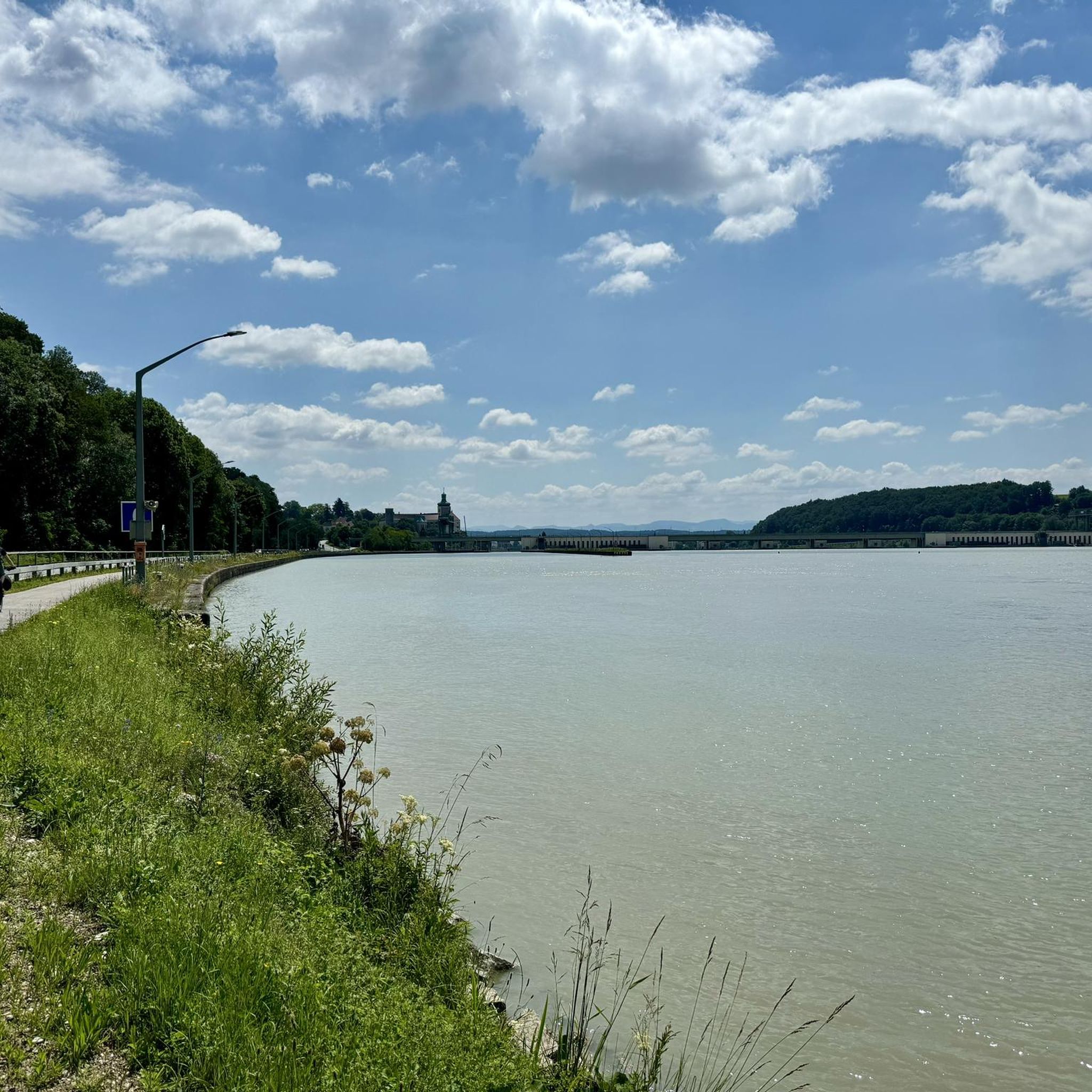
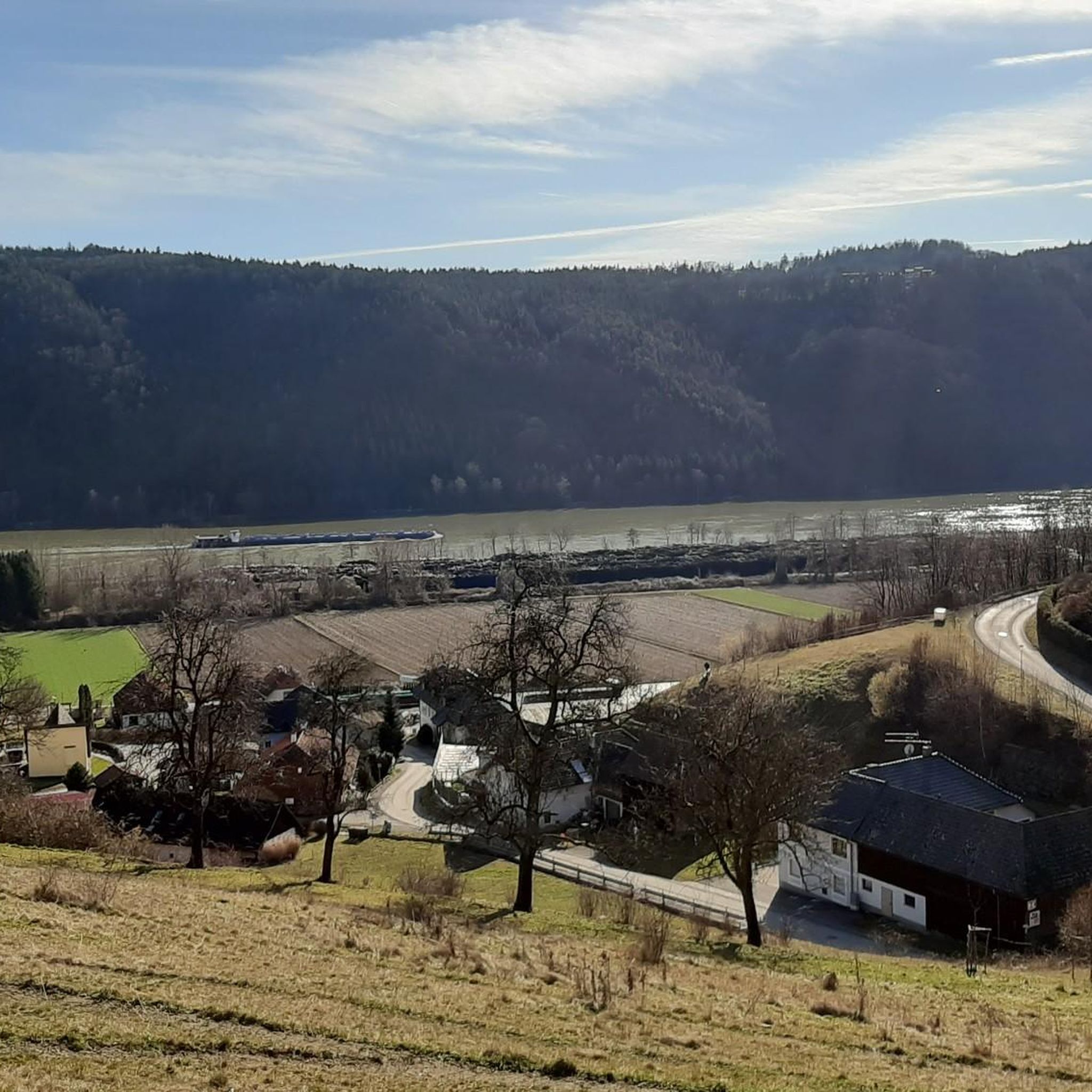
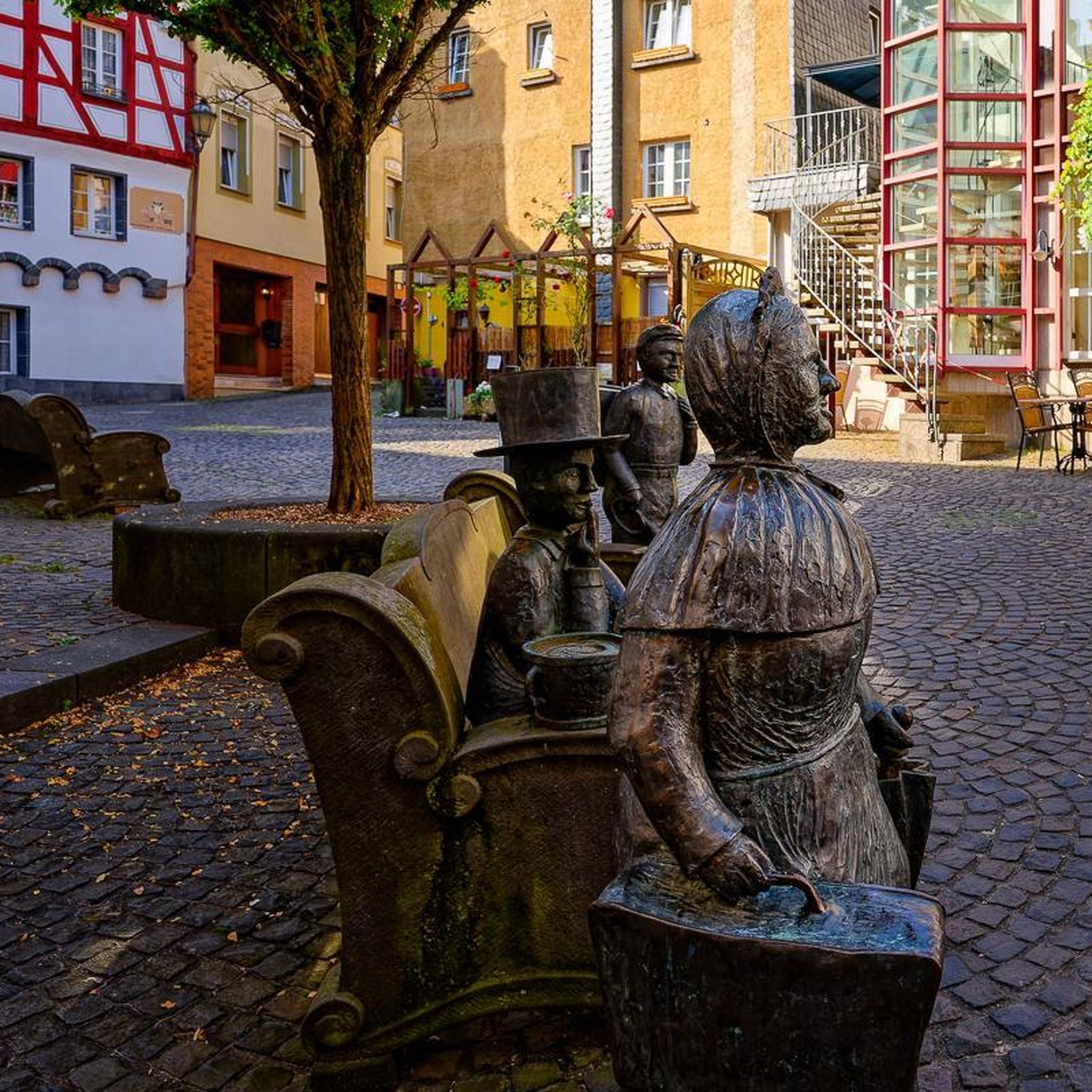


Tips from the Community

just before the Kaiserstei, looks rather mystical...
0
0

Why would anyone recommend a mountain bike ride when cycling is prohibited throughout the forest is beyond me.
2
1

The small Peilstein is also a big highlight!
0
1
What can you find here? You can only discover this while hiking!
0
0
The entire Ostrong is a hiking dream with many big and small highlights!
2
0
A steep but fine path in beautiful nature and a great view at the top!
2
0
Such a beautiful area, highly recommended to all hikers and those who want to become hikers!
1
0
Such a great view from up there over the Yspertal delights the hiker's heart!
1
0
Frequently Asked Questions
What kind of terrain can I expect when hiking in Ostronger Wald?
Ostronger Wald is characterized by its extensive, dense forests and hilly terrain, forming a low mountain range. You'll find a varied topography with both plains and more challenging ascents. The region is known for its natural and immersive environment, offering a serene atmosphere for hikers.
Are there any easy or family-friendly hiking trails in Ostronger Wald?
Yes, Ostronger Wald offers trails suitable for various skill levels, including easy options. For instance, the Steinbach Gorge – Steinbachklamm Gorge loop from Marbach an der Donau is an easy 4.6 km (2.8 miles) trail that takes about 1 hour 29 minutes. The region research also mentions the Laimbach Circular Hiking Trail as an easier option, particularly suitable for beginners and families, offering views of the highest peak of Ostrong.
What are the notable peaks in Ostronger Wald and what views do they offer?
The region features two significant peaks: the Kleine Peilstein (1,024 meters) and the Große Peilstein (1,061 meters), which is the highest point in the 'Donauwaldviertel'. These peaks offer panoramic vistas, with breathtaking views over the Danube valley and the Alps. You can reach the summit of Großer Peilstein via routes like the Großer Peilstein Summit – Nathaus Peilstein loop from Katastralgemeinde Kehrbach.
Are there any circular hiking routes in Ostronger Wald?
Yes, several circular routes are available. A popular moderate option is the Großer Peilstein Summit – Nathaus Peilstein loop from Katastralgemeinde Kehrbach, which is 10.8 km (6.7 miles) long. Another is the View of Ötscher and the Danube – Steinbachklamm Gorge loop from Katastralgemeinde Obererla, a moderate 13.4 km (8.4 miles) path. For an easier circular walk, consider the Steinbach Gorge – Steinbachklamm Gorge loop from Marbach an der Donau.
What do other hikers say about the trails in Ostronger Wald?
The routes in Ostronger Wald are highly rated by the komoot community, with an average score of 4.6 stars from over 1,000 reviews. More than 6,000 hikers have used komoot to explore the varied terrain, often praising the dense forests and the rewarding views from the peaks.
Are there any historical or cultural points of interest along the trails?
Ostronger Wald is steeped in local legends, including tales of a giant fish and a mermaid, which add a unique cultural layer to the hiking experience. Historically, the Kaiserweg Trail is reputed to have been laid out by Emperor Franz I. You can also find landmarks like Persenbeug Castle and Ybbs-Persenbeug Hydroelectric Power Plant nearby.
What natural features or landmarks can I see while hiking in Ostronger Wald?
Hikers can discover various natural monuments and viewpoints. Notable features include the Großer Peilstein Summit, Katzenstein Summit, and Kaiserstein (935 m). The Steinbach Gorge is another significant natural attraction. For scenic views, look for highlights like Naturfreundestein and Cross on Rocky Outcrop (Trail 55).
How many hiking trails are available in Ostronger Wald?
There are over 18 hiking routes available in Ostronger Wald, catering to different difficulty levels. This includes 3 easy trails and 15 moderate trails, ensuring options for various preferences and fitness levels.
Is there a specific trail that leads to the summit of Kleine Peilstein?
Yes, the Nathaus Peilstein – Kleiner Peilstein Summit Cross loop from Münichreith-Laimbach is a moderate 4.4 km (2.7 miles) route that leads past the summit cross of the Kleine Peilstein. Another option is the Kleiner Peilstein Summit Cross – Nathaus Peilstein loop from Katastralgemeinde Kehrbach.
What is the best time of year to go hiking in Ostronger Wald?
While specific seasonal data isn't provided, the dense forests and varied topography suggest that spring and autumn would offer pleasant temperatures and beautiful scenery, with vibrant foliage or blooming flora. Summer is also suitable, though some trails might be more shaded due to the dense tree cover. Winter hiking is possible, but conditions would depend on snow and ice.
Are there any trails that offer views of the Danube River?
Yes, the View of Ötscher and the Danube – Steinbachklamm Gorge loop from Katastralgemeinde Obererla is a moderate trail that specifically highlights views of the Danube, as well as the Ötscher mountain, while traversing the Steinbachklamm Gorge.
Most popular routes in Ostronger Wald
Most popular attractions in Ostronger Wald

Get inspired with the komoot mobile app


Explore more
Browse the best Hikes in other regions.
