The best running trails in Ostronger Wald
4.6
(74)
2,361
runners
260
runs
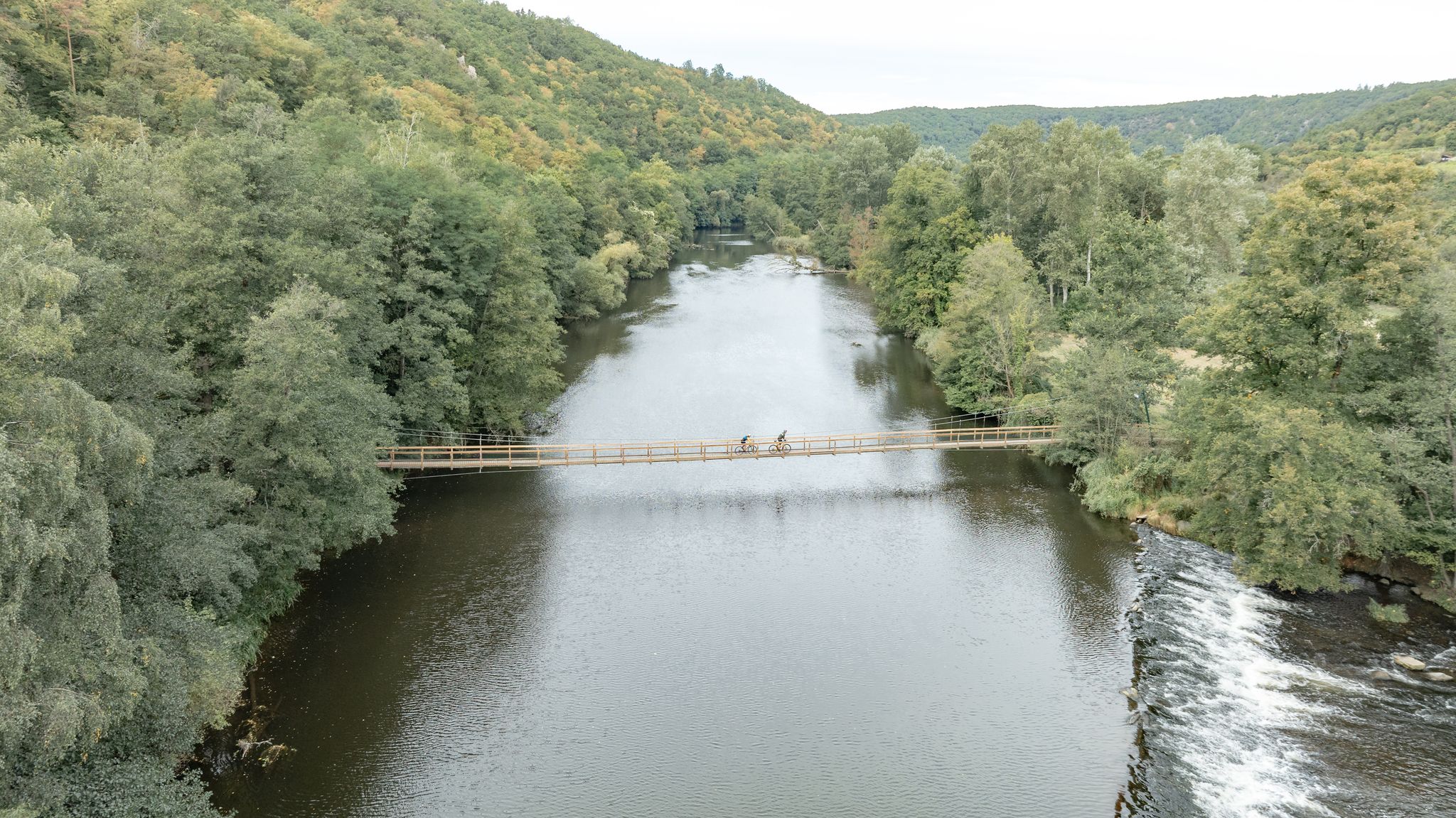
Jogging in Ostronger Wald offers a variety of routes through forested areas, past ponds, and along river gorges. The region features a mix of gentle terrain around water bodies and more challenging paths leading to hills. These routes provide opportunities to experience the natural landscape, characterized by woodlands and varied elevations suitable for running.
Best jogging routes in Ostronger Wald
- The most popular jogging route is Forest Pond – Puschacherteich loop from Yspertal, a 5.8 miles (9.3 km) trail…
Last updated: July 15, 2026
5.0
(1)
21
runners
9.27km
01:00
70m
70m
Moderate run. Good fitness required. Mostly paved surfaces. Suitable for all skill levels.
5.0
(1)
8
runners
Hard run. Very good fitness required. Mostly paved surfaces. Suitable for all skill levels.

Sign up for free
3.0
(1)
9
runners
Hard run. Very good fitness required. Mostly paved surfaces. Suitable for all skill levels.
5.0
(1)
5
runners
8.64km
00:59
210m
210m
Moderate run. Good fitness required. Mostly paved surfaces. Suitable for all skill levels.
3
runners
11.8km
01:19
210m
210m
Hard run. Good fitness required. Sure-footedness, sturdy shoes and alpine experience required.
Get access to more routes and recommendations from other explorers.
Sign up for free
Already have an account?
Our route recommendations are based on thousands of hikes, rides, and runs completed by other people on komoot.
Start today with a free account
Your next adventure awaits.
Login or Signup


Tips from the Community

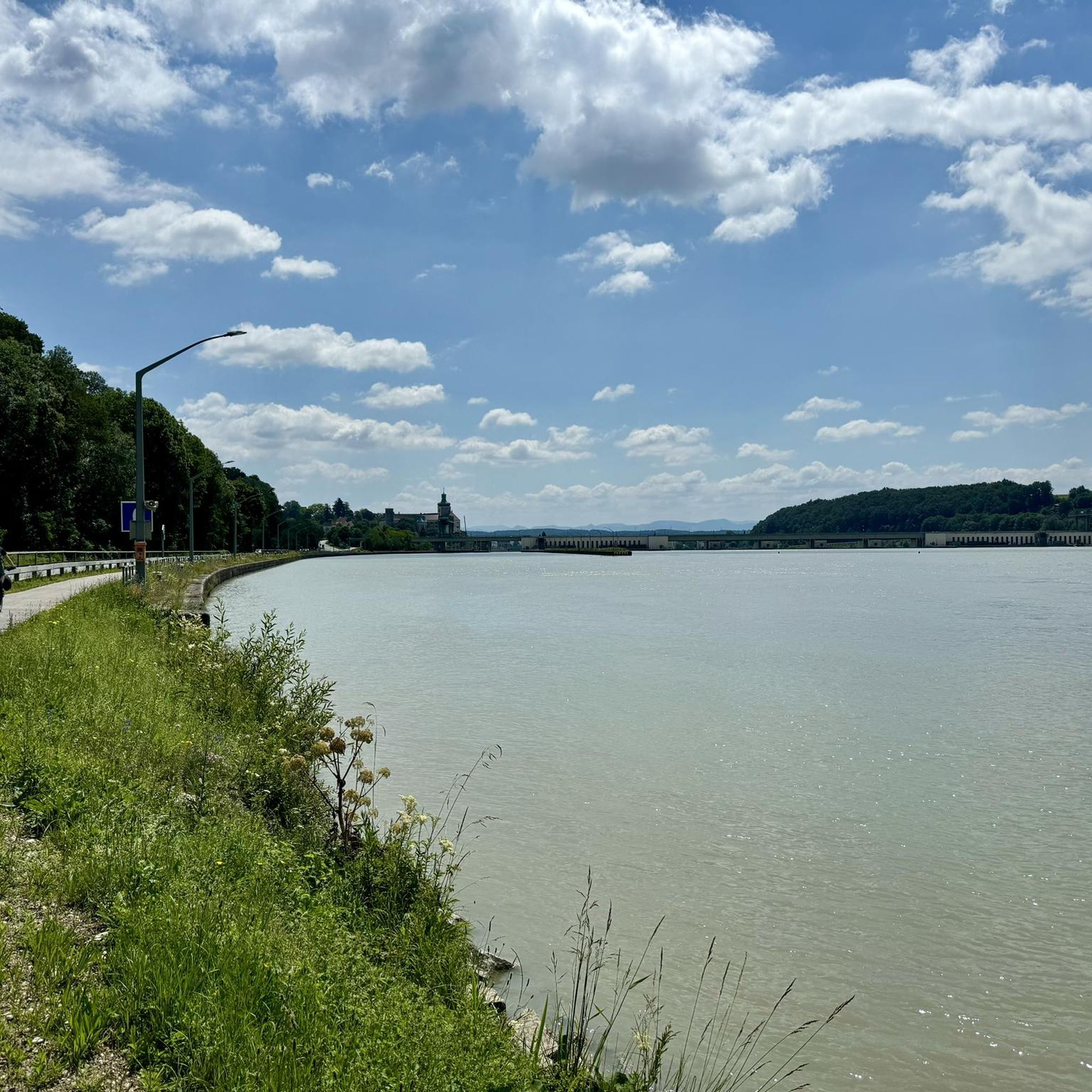
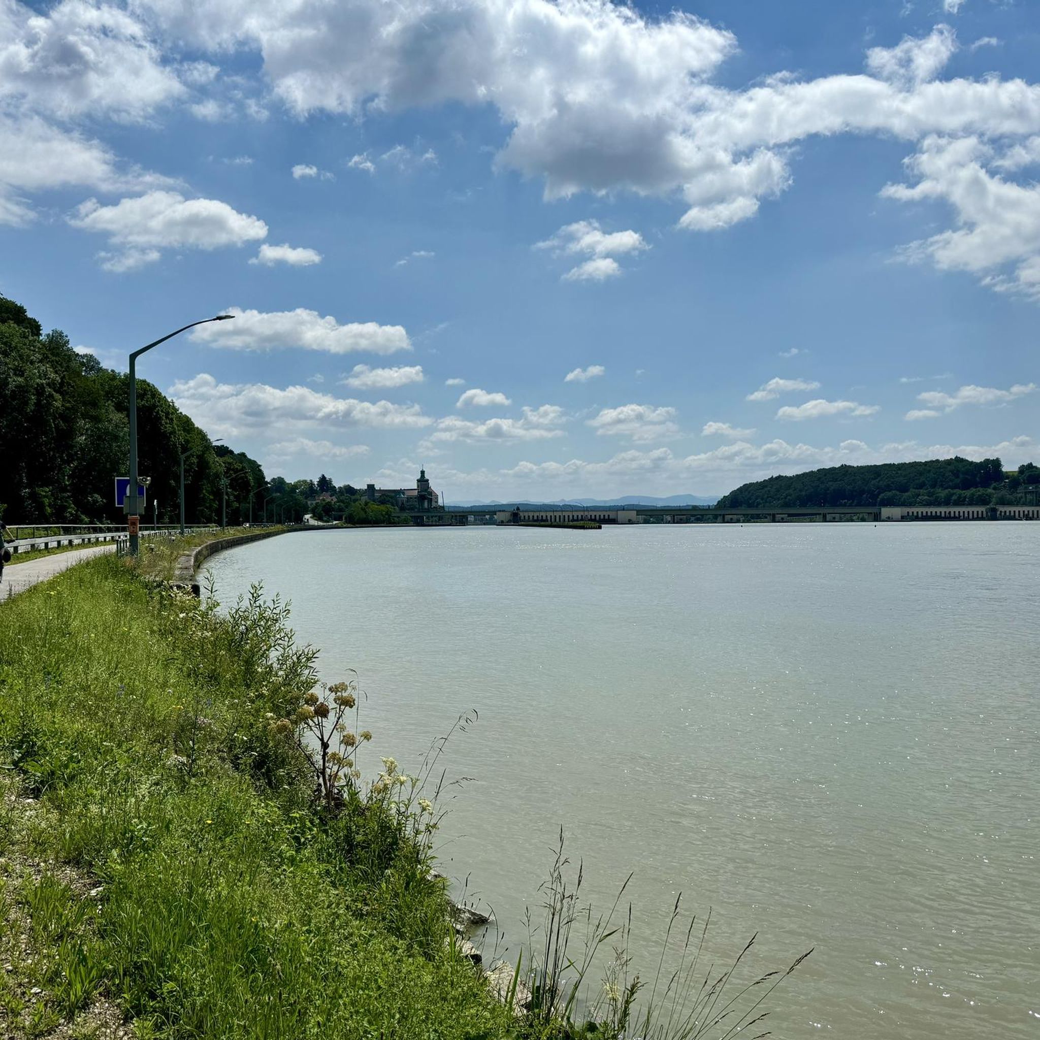
The bench is a perfect place to take a break and enjoy the view over the water.
2
0

Why would anyone recommend a mountain bike ride when cycling is prohibited throughout the forest is beyond me.
2
1

One of the typical ponds that you often find in the Waldviertel, always nice to see.
1
0
The small Peilstein is also a big highlight!
0
1
Such a great view from up there over the Yspertal delights the hiker's heart!
1
0


Nice rest stop at the local campsite.
2
0

The name of the Kaiserstein (935 m above sea level) goes back to Emperor Franz I, who liked to climb the peaks around Münichreith from his summer residence Schloss Luberegg. Source. Wikipedia
1
0
Frequently Asked Questions
How many running routes are available in Ostronger Wald?
Ostronger Wald offers a wide selection of running routes, with over 270 trails documented on komoot. These range from easy paths to more challenging runs, catering to various fitness levels.
Are there easy running routes suitable for beginners in Ostronger Wald?
Yes, Ostronger Wald has a good selection of easy running routes. There are 33 routes specifically graded as 'easy', perfect for beginners or those looking for a relaxed jog through the forest.
What kind of terrain can I expect on the jogging trails in Ostronger Wald?
The jogging trails in Ostronger Wald feature diverse terrain, from gentle paths around serene ponds to more challenging routes with varied elevations leading up hills. You'll primarily experience dense woodlands and river gorges.
Are there any circular running routes in Ostronger Wald?
Many of the running routes in Ostronger Wald are designed as loops, offering convenient circular paths. For example, the Forest Pond loop from Yspertal is a popular option for a scenic round trip.
What are some notable viewpoints or attractions along the running routes?
While jogging in Ostronger Wald, you can discover several natural attractions. Keep an eye out for viewpoints like Peilsteiner Sonnenplatzl Viewpoint or the Naturfreundestein. Some routes also pass by impressive summits such as Katzenstein Summit or Großer Peilstein Summit.
What do other runners say about the trails in Ostronger Wald?
The running trails in Ostronger Wald are highly regarded by the komoot community, boasting an average rating of 4.7 stars from over 60 reviews. Runners frequently praise the peaceful forest atmosphere and the well-maintained paths.
Are there any longer, more challenging running routes for experienced runners?
Yes, for experienced runners seeking a challenge, Ostronger Wald offers 38 difficult routes. A notable option is the Kleiner Peilstein Summit Cross – Großer Peilstein Summit loop from Katastralgemeinde Kehrbach, which covers over 10 km with significant elevation changes.
What is the typical distance of running routes in Ostronger Wald?
Running routes in Ostronger Wald vary significantly in distance. You can find shorter loops, such as the 6.3 km Puschacherteich – Forest Pond loop from Yspertal, as well as longer trails like the 11.3 km Steinbach Gorge – Restaurant "Zur Alten Fähre" loop from Marbach an der Donau.
Is Ostronger Wald suitable for winter jogging?
While specific winter conditions can vary, Ostronger Wald's forested paths generally offer a sheltered environment. However, it's always advisable to check local weather forecasts and trail conditions for snow or ice before heading out for a winter run.
Are the running trails in Ostronger Wald well-marked?
The komoot community frequently rates the trails highly, suggesting that many routes are well-maintained and easy to follow. Using the komoot app can further enhance your navigation experience on any trail.
What should I consider regarding parking when planning a run in Ostronger Wald?
While specific parking information for each route isn't always detailed, many trailheads in natural areas like Ostronger Wald typically have designated parking areas. It's recommended to check the starting point of your chosen route on komoot for potential parking suggestions or public transport options.
Most popular routes in Ostronger Wald
Most popular attractions in Ostronger Wald

Get inspired with the komoot mobile app


Explore more
Browse the best Running Trails & Routes in other regions.
