The best walks and hikes in Süßwald
4.6
(3442)
17,530
hikers
411
hikes
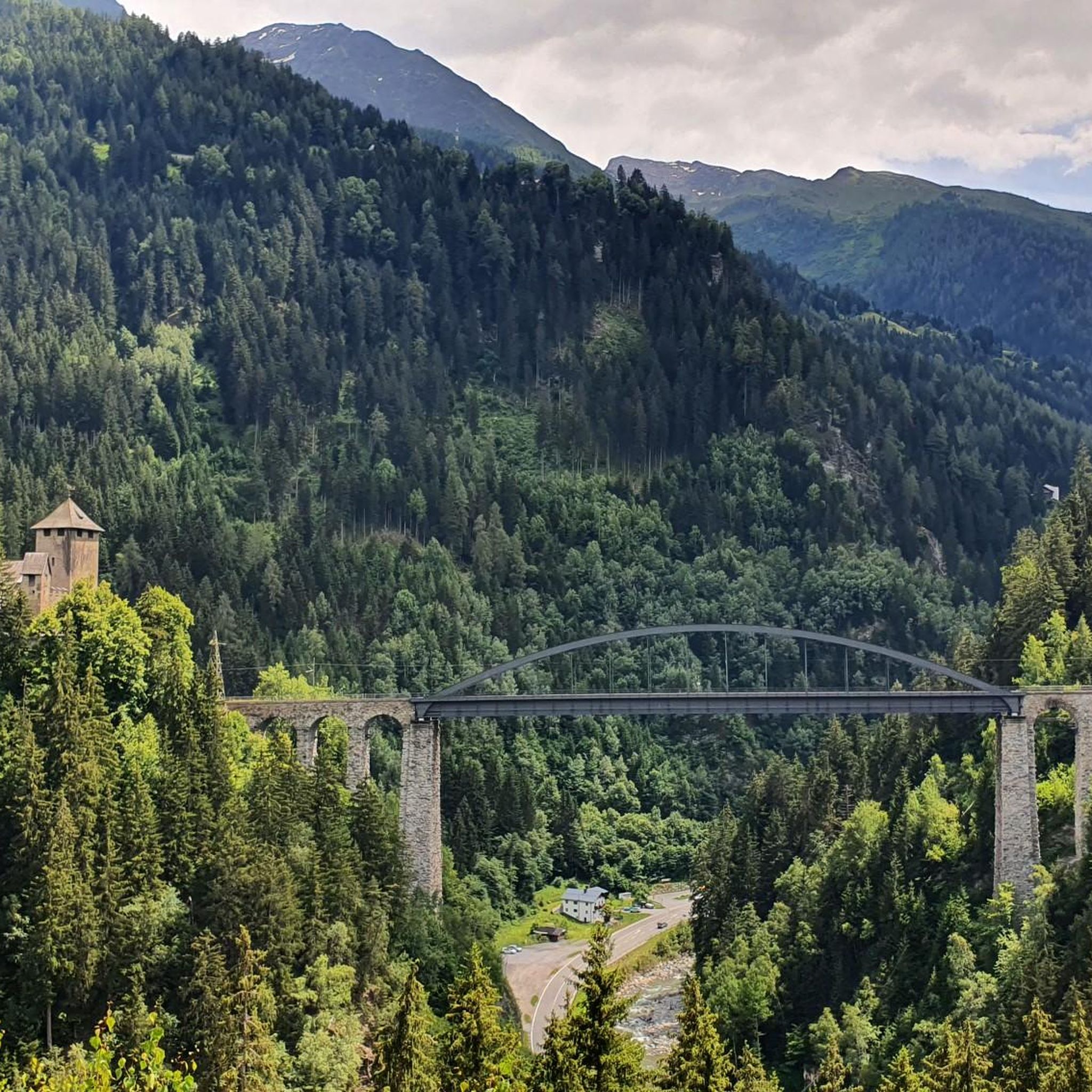
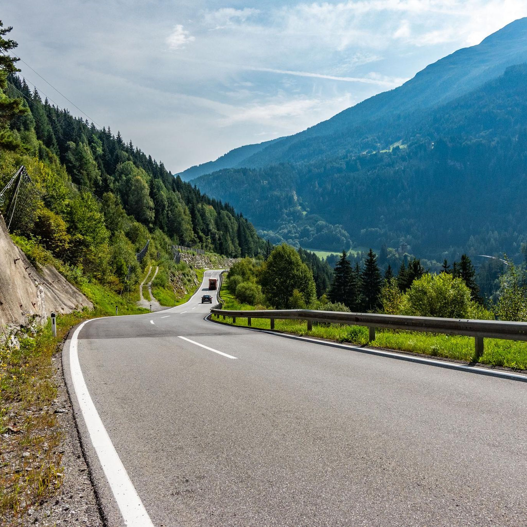
Hiking in Süßwald, located in the Tiroler Oberland, offers a diverse landscape characterized by rich forests, varied topography, and a network of water features including spring creeks and idyllic ponds. The region features a mix of elevations, from gentle paths to more challenging climbs, providing experiences for different fitness levels. Extensive forest areas, composed of diverse tree species, create picturesque scenery throughout the seasons. This area also includes open land, contributing to a varied environment for hikers.
Best hiking trails…
Last updated: August 11, 2026
2
hikers
17.3km
06:13
1,060m
1,060m
Hard hike. Very good fitness required. Easily-accessible paths. Suitable for all skill levels.
5.0
(5)
22
hikers
6.85km
02:14
320m
320m
Moderate hike. Good fitness required. Easily-accessible paths. Suitable for all skill levels.

Sign up for free
5.0
(5)
21
hikers
17.6km
06:00
930m
930m
Hard hike. Very good fitness required. Easily-accessible paths. Suitable for all skill levels.
8
hikers
3.72km
01:09
130m
130m
Easy hike. Great for any fitness level. Easily-accessible paths. Suitable for all skill levels.
5.0
(3)
6
hikers
6.09km
03:11
580m
580m
Hard hike. Good fitness required. Sure-footedness, sturdy shoes and alpine experience required.
Get access to more routes and recommendations from other explorers.
Sign up for free
Already have an account?
Our route recommendations are based on thousands of hikes, rides, and runs completed by other people on komoot.
Start today with a free account
Your next adventure awaits.
Login or Signup

Tips from the Community


Drinking water can be tapped here.
0
0

Beautiful small lake and easy to reach from the village. With benches, a fireplace and many more
0
0

Parish Church of Strengen (Saint Martin of Tours) A church was mentioned in a document in 1420. The church was changed in 1636/1637. Today's church was built with a baroque renovation between 1753 and 1755 according to the plans of the architect Paul Glatzl, and was re-consecrated in 1761. In 1892 the church was made a parish. There was a renovation in 1974/1975, which also included an expansion of the church in the west with a vestibule and gallery according to the plans of the architect Eduard Ladner. Text/Source: Wikipedia https://de.wikipedia.org/wiki/Pfarrkirche_Strengen
15
1

Pretty little chapel with a fountain and a beautiful view of the valley and mountains.
0
0
Passing the hamlets of Riefe, Kramategg and Verill, you reach this particularly quiet and picturesque high meadow area above Strengen. The Eggerweiher also slumbers here - a fantastically beautiful place!
0
0
Idyllic little pond in the middle of the forest. There is a playground, a barbecue area and shady trees that sweeten your break in this beautiful spot. There is also a raft on the water that you are welcome to use!
0
0
Picturesque lake in the middle of untouched nature near the Dawinalpe. A place to find peace, enjoy the view and nature.
0
0
Frequently Asked Questions
How many hiking trails are there in Süßwald?
Süßwald offers an extensive network of over 400 hiking trails. You'll find a wide variety, including 127 easy routes perfect for a leisurely stroll, 173 moderate paths for a more engaging experience, and 114 challenging trails for experienced hikers seeking a demanding ascent.
Are there any easy hikes suitable for families in Süßwald?
Yes, Süßwald has 127 easy routes, many of which are suitable for families. These trails often feature gentle paths through rich forests and past idyllic ponds, providing a pleasant outdoor experience for all ages. While specific family-friendly routes aren't detailed here, you can explore the many easy options available on komoot.
What kind of natural features can I expect to see while hiking in Süßwald?
Süßwald is characterized by its diverse natural beauty. You'll encounter extensive, rich forests with various tree species, varied topography ranging from gentle hills to steeper climbs, and a network of water features including spring creeks, flowing waters, and idyllic ponds. Some trails may even lead to larger lakes or offer panoramic views from higher elevations.
Are there any circular hiking routes in Süßwald?
Yes, Süßwald features several excellent circular routes. A popular moderate option is the Strengen Plateau – Egger Pond loop from Strengen, which traverses a plateau and passes by Egger Pond. For a shorter, easy loop, consider the Stone Water Fountain – Strengen loop from Strengen, taking about an hour to complete.
What do other hikers enjoy most about Süßwald?
The komoot community highly rates hiking in Süßwald, with an average score of 4.6 stars from over 3,100 reviews. Hikers often praise the region's rich forests, varied topography, and the numerous water features. Many appreciate the extensive trail network that caters to different ability levels, from easy walks to challenging ascents, making it a versatile destination for outdoor enthusiasts.
Are there any hikes that feature lakes or ponds?
Absolutely. Süßwald's landscape includes several beautiful water features. The challenging To the Great Lake – St. Anton am Arlberg route leads to a large lake. Additionally, the moderate Strengen Plateau – Egger Pond loop from Strengen passes by the scenic Egger Pond.
What is the best time of year to go hiking in Süßwald?
Süßwald offers picturesque scenery throughout the seasons due to its diverse tree species. Spring and autumn are particularly beautiful, with vibrant foliage or blooming flora. The varied topography means you can find suitable trails in most conditions, though some higher or more challenging routes might be best avoided in winter or during adverse weather.
Are there any challenging hikes for experienced trekkers?
Yes, Süßwald has 114 difficult routes designed for experienced trekkers. These often feature significant elevation gain and require good fitness. An example is the To the Great Lake – St. Anton am Arlberg, a 10.8-mile trail with substantial elevation gain. Another demanding option is the Egger Pond – Dawinalpe loop from Strengen.
Can I find hikes with panoramic views in Süßwald?
Yes, the varied topography of Süßwald includes higher elevations that offer rewarding panoramic views. Trails often lead to viewpoints where you can take in expansive vistas of the surrounding landscapes, including dense forests and open land. The Falgenair Alm – Panoramic View – Kleingfallalpe loop from Trisannabrücke specifically highlights a panoramic view.
Are there opportunities for wildlife spotting while hiking?
Süßwald's diverse ecosystems, alternating between dense forest and open land, create a varied environment for flora and fauna. While specific wildlife sightings cannot be guaranteed, the region's natural habitats provide opportunities to observe local wildlife, especially in quieter areas or during early morning and late evening hikes.
Are there any trails that pass by interesting historical or cultural sites?
While the primary focus of Süßwald's trails is natural beauty, the region's character suggests that some routes may integrate historical or cultural elements. These could include old churches, war memorials, or information boards detailing local history, flora, fauna, and geology, enriching the hiking experience beyond just the physical activity.
Most popular routes in Süßwald

Get inspired with the komoot mobile app


Explore more
Browse the best Hikes in other regions.
